The best road cycling routes around Montpinier
4.1
(134)
4,100
riders
60
rides
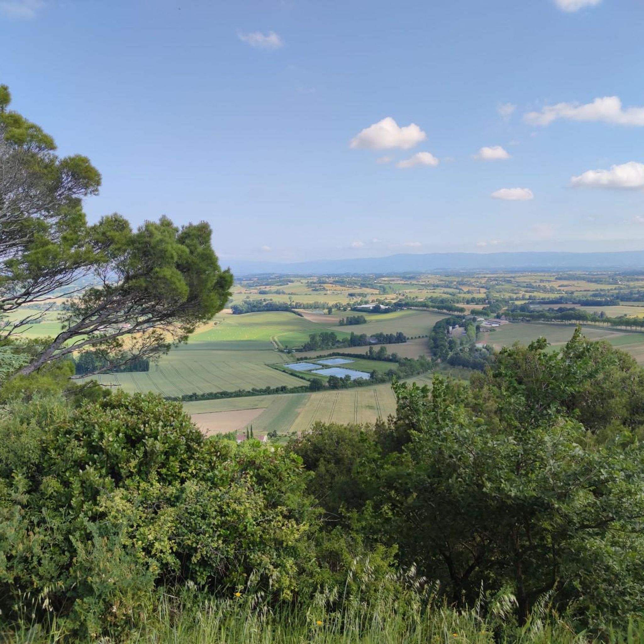
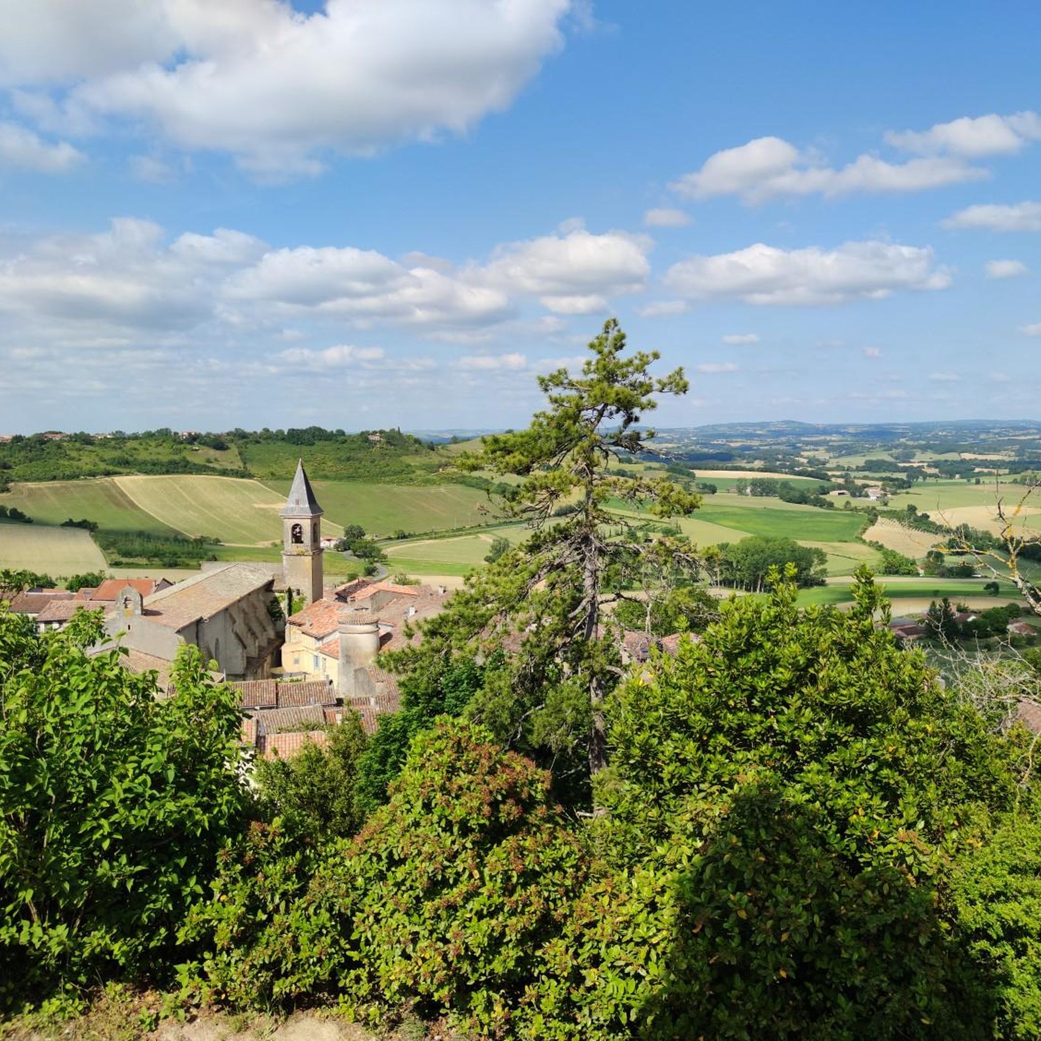
Road cycling routes around Montpinier, located in the Tarn department of Occitanie, France, traverse a tranquil rural and agricultural landscape. The area features quiet roads and offers access to the diverse topography of the wider Tarn region. Cyclists can explore river valleys, extensive forested areas, and higher elevations, with altitudes in Montpinier itself ranging from 193m to 301m. This strategic location provides a variety of terrain for road cyclists.
Best road cycling routes around Montpinier
- The most popular road cycling…
Last updated: July 13, 2026
3.0
(2)
40
riders
38.8km
01:53
550m
550m
Moderate road ride. Good fitness required. Mostly well-paved surfaces and easy to ride.
16
riders
83.6km
03:47
850m
850m
Moderate road ride. Good fitness required. Mostly well-paved surfaces and easy to ride.

Sign up for free
4.0
(1)
12
riders
46.8km
02:29
560m
560m
Moderate road ride. Good fitness required. Some segments of this route may be unpaved and difficult to ride.
9
riders
47.9km
02:03
340m
340m
Moderate road ride. Good fitness required. Mostly well-paved surfaces and easy to ride.
4
riders
24.6km
01:11
270m
270m
Easy road ride. Great for any fitness level. Mostly well-paved surfaces and easy to ride.
Get access to more routes and recommendations from other explorers.
Sign up for free
Already have an account?
Our route recommendations are based on thousands of hikes, rides, and runs completed by other people on komoot.
Start today with a free account
Your next adventure awaits.
Login or Signup


Tips from the Community

This bridge is truly magnificent. With a beautiful view of the city in the background! The best time to go is at sunset; it's breathtaking!
0
0
I love these little streets of Albi; they're peaceful, majestic, and steeped in history. The best way to experience them is on foot!
0
0
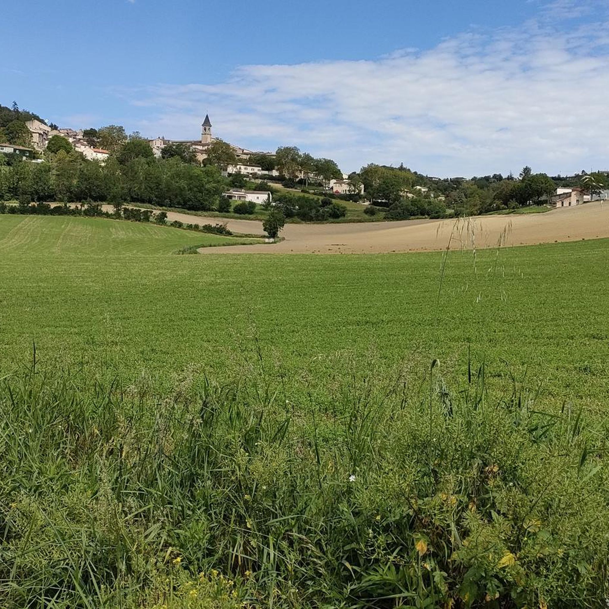
Contrary to what you might think, only one street is like this, with half-timbering, the rest of the village is ordinary. However, if you pass nearby, it's rather nice and quiet, with plenty of benches for a picnic in the village!
1
0


sublime view of the footbridge
0
0

Coming to Albi without making a detour to the Sainte-Cécile cathedral is not possible. This religious building in red brick will amaze you as it is so imposing. For my part, it reminds me of an immense stone vessel. Faced with such majesty, you will understand why it has been classified with the episcopal city of Albi since July 31, 2010 on the UNESCO World Heritage List. The first cathedral dates back to the 4th century, but it was during the 13th century that it was profoundly modified by major works. Under the aegis of Sainte-Cécile, patron saint of musicians, take the time to visit this marvel. It is the most visited cathedral in France ahead of Notre-Dame de Paris.
0
0

Old dovecote typical of the region
0
0
Frequently Asked Questions
How many road cycling routes are available around Montpinier?
There are over 50 road cycling routes around Montpinier, offering a variety of experiences. These include 6 easy routes, 32 moderate routes, and 16 more challenging options.
What kind of terrain can I expect when road cycling near Montpinier?
Road cycling near Montpinier offers diverse terrain. You'll find quiet rural roads winding through agricultural landscapes, scenic rides along the Tarn and Agout river valleys, and routes that venture into forested areas like the Grésigne Forest. For those seeking more challenge, higher elevations in the Monts de Lacaune and the unique granite formations of Sidobre are accessible.
When is the best time of year to go road cycling in Montpinier?
The Tarn region generally offers pleasant cycling conditions for much of the year. Spring and autumn are often ideal, with milder temperatures and beautiful scenery. Summer can be warm, so early morning or late afternoon rides are recommended during peak heat.
Are there any easy road cycling routes suitable for beginners around Montpinier?
Yes, there are several easy road cycling routes. One popular option is the Burlats loop from Saint-Antoine de la Verdarié, an easy 19.6 miles (31.5 km) path that offers a more accessible ride through the rural landscape with less climbing.
Can I find longer distance road cycling routes near Montpinier?
Absolutely. For longer rides, consider the Bourg Montdragon – Lautrec loop from Lautrec, which covers 52.7 miles (84.8 km) through the wider Tarn countryside. Another option is the Lautrec – Bourg Montdragon loop from Lautrec, a 67.5 km route.
What landmarks or points of interest can I see along road cycling routes near Montpinier?
While Montpinier itself is a small commune, its proximity to larger towns and natural sites means you can encounter several points of interest. You might pass through charming villages like Burlats, or enjoy views towards Lautrec. The nearby city of Castres also offers cultural attractions.
Are there any specific cycling paths or greenways in the Montpinier area?
Yes, the wider Tarn region offers dedicated cycling paths. The Albi-Castres Greenway, a 44 km route along an old railway line, is accessible and provides views of the Tarnese countryside. You can find more information about the Albi-Castres Greenway on the Tourisme Tarn website.
What do other road cyclists enjoy the most about road cycling in Montpinier?
The area is highly rated by the komoot community, with an average score of 4.2 stars from over 135 reviews. Cyclists often praise the quiet rural roads, the varied terrain that caters to different skill levels, and the scenic beauty of the river valleys and forested areas.
Are there any challenging road cycling routes with significant elevation gain?
Yes, for those seeking a challenge, routes like the Peyro Clabado – Burlats loop from Saint-Jean-de-Vals offer significant elevation gain, with over 800 meters of ascent over 56.7 km. The higher elevations of the Monts de Lacaune also provide rewarding climbs.
Are the road cycling routes around Montpinier generally circular?
Many of the road cycling routes around Montpinier are designed as loops, allowing you to start and finish in the same location. This includes popular options like the Lautrec – Burlats loop from Lautrec and the Peyro Clabado – Burlats loop from Saint-Jean-de-Vals.
Is Montpinier a good base for exploring the wider Tarn region by road bike?
Yes, Montpinier's strategic location in the Tarn department makes it an excellent, quiet base for road cycling. It provides easy access to a rich tapestry of landscapes, from serene river valleys to challenging mountain routes, and is close to larger towns like Castres and Albi, which serve as hubs for more extensive cycling networks.
Most popular routes around Montpinier
Most popular attractions around Montpinier

Get inspired with the komoot mobile app


Explore more
Browse the best Road cycling routes in other regions.
