The best walks and hikes around Guitalens-L'Albarède
4.7
(74)
487
hikers
25
hikes
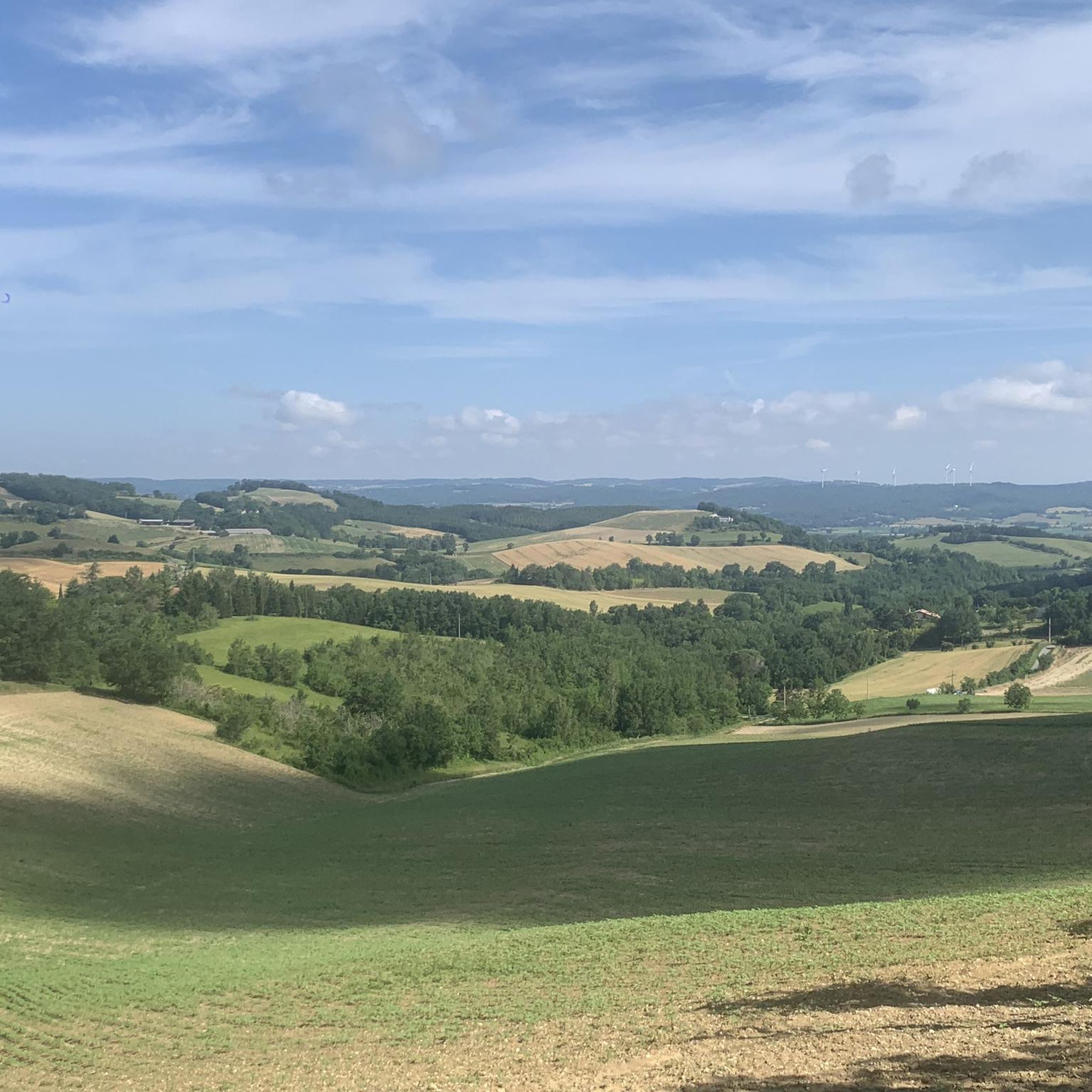
Hiking around Guitalens-L'Albarède offers exploration of a rural landscape characterized by green hills, picturesque valleys, and lush forests. The area is interlaced with river systems, including the Agout River, contributing to fertile riverine environments and diverse scenery. Agricultural fields also shape the terrain, providing varied views for hikers.
Best hiking trails around Guitalens-L'Albarède
- The most popular hiking route is Hiking loop from Vielmur-sur-Agoût, a 9.3 miles (15.0 km) trail that takes 4 hours 11 minutes to complete. This moderate…
Last updated: June 29, 2026
5.0
(4)
17
hikers
15.0km
04:11
290m
290m
Moderate hike. Good fitness required. Easily-accessible paths. Suitable for all skill levels.
5.0
(2)
8
hikers
5.60km
01:30
60m
60m
Easy hike. Great for any fitness level. Easily-accessible paths. Suitable for all skill levels.

Sign up for free
4.0
(2)
10
hikers
5.82km
01:38
120m
120m
Easy hike. Great for any fitness level. Easily-accessible paths. Suitable for all skill levels.
4.5
(2)
6
hikers
7.10km
02:01
170m
170m
Moderate hike. Good fitness required. Easily-accessible paths. Suitable for all skill levels.
5.0
(1)
7
hikers
Moderate hike. Good fitness required. Easily-accessible paths. Suitable for all skill levels.
Get access to more routes and recommendations from other explorers.
Sign up for free
Already have an account?
Our route recommendations are based on thousands of hikes, rides, and runs completed by other people on komoot.
Start today with a free account
Your next adventure awaits.
Login or Signup




Tips from the Community

The Château de Magrin, listed as a Historic Monument, houses the very first Pastel Museum in France. Museum on four levels open all year round.
1
0
Frequently Asked Questions
How many hiking trails are available in Guitalens-L'Albarède?
There are over 25 hiking routes available in Guitalens-L'Albarède, offering a variety of experiences from easy strolls to more challenging treks through the region's diverse landscapes.
What kind of terrain can I expect on hikes in Guitalens-L'Albarède?
The terrain in Guitalens-L'Albarède is characterized by a mix of green hills, picturesque valleys, and lush forests. You'll encounter riverine environments along the Agout River and its tributaries, as well as open fields shaped by centuries of agriculture, offering varied views.
Are there easy hiking options for beginners or casual walkers?
Yes, Guitalens-L'Albarède offers several easy hiking options. For example, the Hiking loop from Bertre is an easy 3.5-mile (5.6 km) path that traverses gentle terrain, perfect for a relaxed outing. There are 7 easy routes in total.
Are there family-friendly walks in Guitalens-L'Albarède?
Absolutely. The region is home to trails like "Le chemin de l'eau" (The Water Path), which offers family-friendly loops with varying distances (6, 8, and 9 km). This trail features thematic panels and remarkable viewpoints over the Agout valley, making it engaging for all ages. Easy routes like the Puylaurens – Well,......very sad loop from Puylaurens are also suitable for families.
Can I find circular hiking routes in this area?
Yes, many of the hiking routes in Guitalens-L'Albarède are circular. For instance, the popular Hiking loop from Vielmur-sur-Agoût is a 9.3-mile (15.0 km) moderate trail that offers beautiful views over the Agout valley and surrounding countryside, bringing you back to your starting point.
What natural features or attractions can I see while hiking?
While hiking, you can explore the scenic Agout River and its tributaries, which are part of a significant Natura 2000 site. The area is rich in diverse habitats and species. You'll also experience the characteristic landscapes of the "Pays de Cocagne," with its rolling green hills and agricultural fields.
Are there any interesting landmarks or points of interest near the trails?
Yes, the area around Guitalens-L'Albarède offers several points of interest. You might consider visiting the View of Lautrec for panoramic vistas, or explore the historic village of Lautrec itself. The Lavaur: Roman road also offers a glimpse into the region's past.
When is the best time of year to go hiking in Guitalens-L'Albarède?
The spring and autumn months generally offer the most pleasant hiking conditions in Guitalens-L'Albarède, with mild temperatures and vibrant natural scenery. Spring brings flowering fields, while autumn showcases beautiful foliage. Summer can be warm, but early mornings or late afternoons are still enjoyable.
What kind of wildlife might I encounter on the trails?
Given the area's designation as a Natura 2000 site and its ecological interest zones, you might encounter a variety of wildlife. The river systems are particularly important, hosting species such as European otters and freshwater pearl mussels. Birdwatching is also rewarding in the diverse habitats.
What do other hikers say about the trails in Guitalens-L'Albarède?
The trails in Guitalens-L'Albarède are highly regarded by the komoot community, with an average rating of 4.7 stars from over 60 reviews. Hikers often praise the peaceful rural scenery, the well-maintained paths, and the opportunity to experience the natural beauty of the Agout valley.
Are there moderate difficulty hikes for those looking for a bit more challenge?
Yes, there are 18 moderate difficulty routes available. A good option is the Well,......very sad – Noch so ein schöner Ausblick loop from Puylaurens, which is a 9.3-mile (14.9 km) trail with a moderate elevation gain, offering rewarding views and a good workout.
Is there parking available at the trailheads?
While specific parking details for every trailhead are not provided, hiking resources for the region typically indicate that trails are accessible, often with designated parking areas in or near the starting villages like Vielmur-sur-Agoût or Puylaurens. It's advisable to check local signage upon arrival.
Most popular routes around Guitalens-L'Albarède
Most popular attractions around Guitalens-L'Albarède

Get inspired with the komoot mobile app


Explore more
Browse the best Hikes in other regions.
