The best running trails in the Uncompahgre Plateau
5.0
(9)
342
runners
57
runs
Jogging in the Uncompahgre Plateau offers access to a vast 1.5-million-acre landscape characterized by diverse ecosystems and geological features. The terrain transitions from lower-altitude sage and pinyon-juniper forests to higher-elevation aspen groves and ponderosa pines. This region features relatively flat mesas dramatically interrupted by numerous canyons and gulches, including Big Red and Tabeguache. The extensive trail network provides varied terrain for running, from mesa tops to canyon rims.
Best jogging routes in the Uncompahgre Plateau
- The most popular jogging route…
Last updated: October 10, 2026
5.0
(1)
31
runners
7.18km
00:59
220m
220m
Moderate run. Good fitness required. Mostly paved surfaces. Suitable for all skill levels.
21
runners
6.03km
00:51
240m
240m
Moderate run. Good fitness required. Mostly paved surfaces. Suitable for all skill levels.

17
runners
5.77km
00:44
100m
100m
Moderate run. Good fitness required. Mostly paved surfaces. Suitable for all skill levels.
2
runners
8.19km
00:52
10m
10m
Moderate run. Good fitness required. Mostly paved surfaces. Suitable for all skill levels.
4
runners
2.90km
00:27
160m
160m
Moderate run. Good fitness required. Mostly paved surfaces. Suitable for all skill levels.
2
runners
16.7km
02:20
500m
500m
Hard run. Very good fitness required. Mostly paved surfaces. Suitable for all skill levels.
2
runners
2.25km
00:18
70m
70m
Easy run. Great for any fitness level. Mostly paved surfaces. Suitable for all skill levels.
2
runners
3.15km
00:24
50m
50m
Easy run. Great for any fitness level. Mostly paved surfaces. Suitable for all skill levels.
1
runners
4.43km
00:35
110m
110m
Moderate run. Good fitness required. Mostly paved surfaces. Suitable for all skill levels.
1
runners
9.03km
01:34
400m
400m
Hard run. Very good fitness required. Sure-footedness, sturdy shoes and alpine experience required.
Get access to more routes and recommendations from other explorers.
Already have an account?
Our route recommendations are based on thousands of hikes, rides, and runs completed by other people on komoot.
Start today with a free account
Your next adventure awaits.
Popular around Uncompahgre Plateau

American Discovery Trail — Walking from sea to shining sea
Kokopelli's Trail — Biking a legend’s trail across the desert

American Discovery Trail — Riding coast to coast

From the mountain peaks to the prairie – Rocky Mountains and Great Plains
World-class desert trails in the Grand Valley
Hiking in the Uncompahgre Plateau
Cycling in the Uncompahgre Plateau
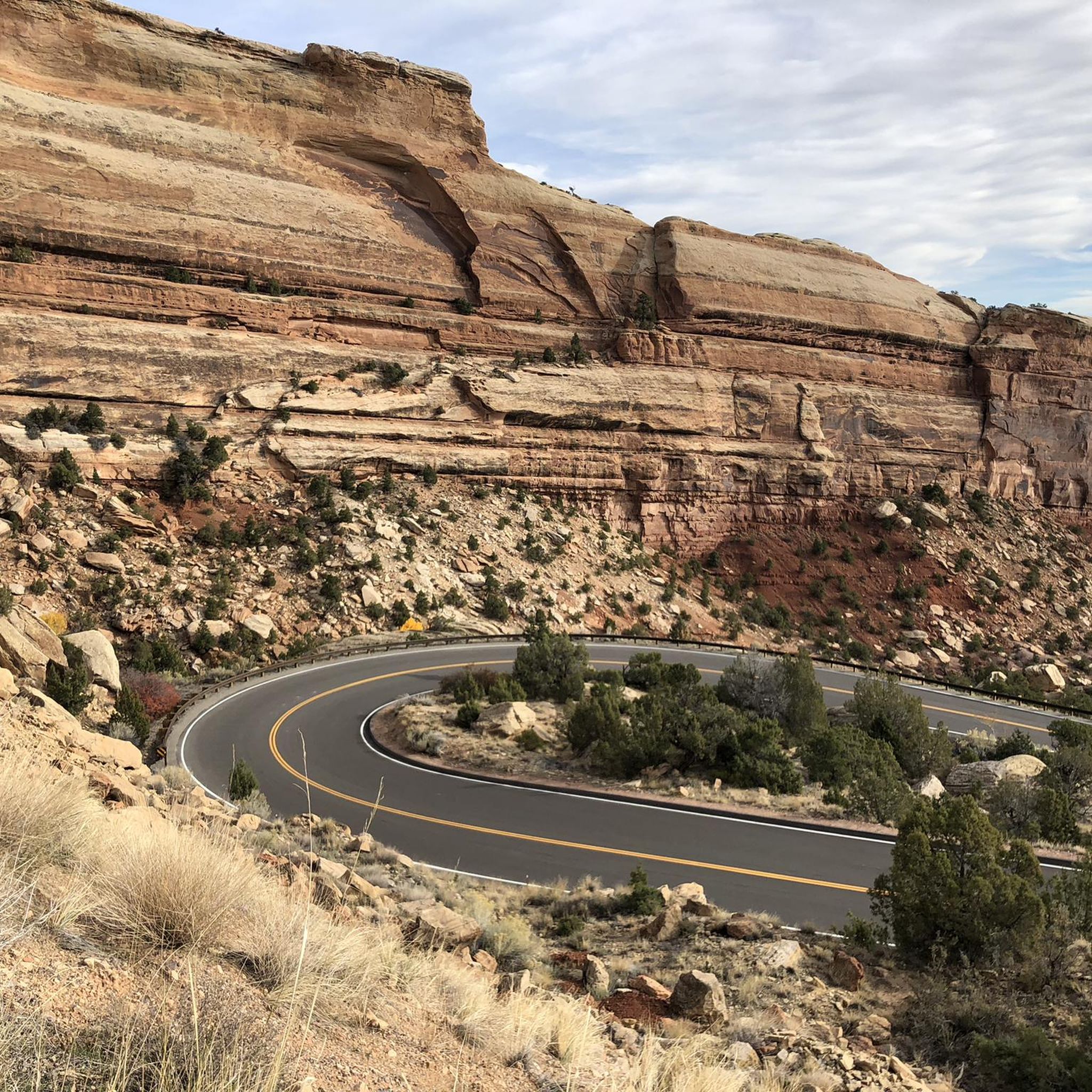
Road Cycling Routes in the Uncompahgre Plateau
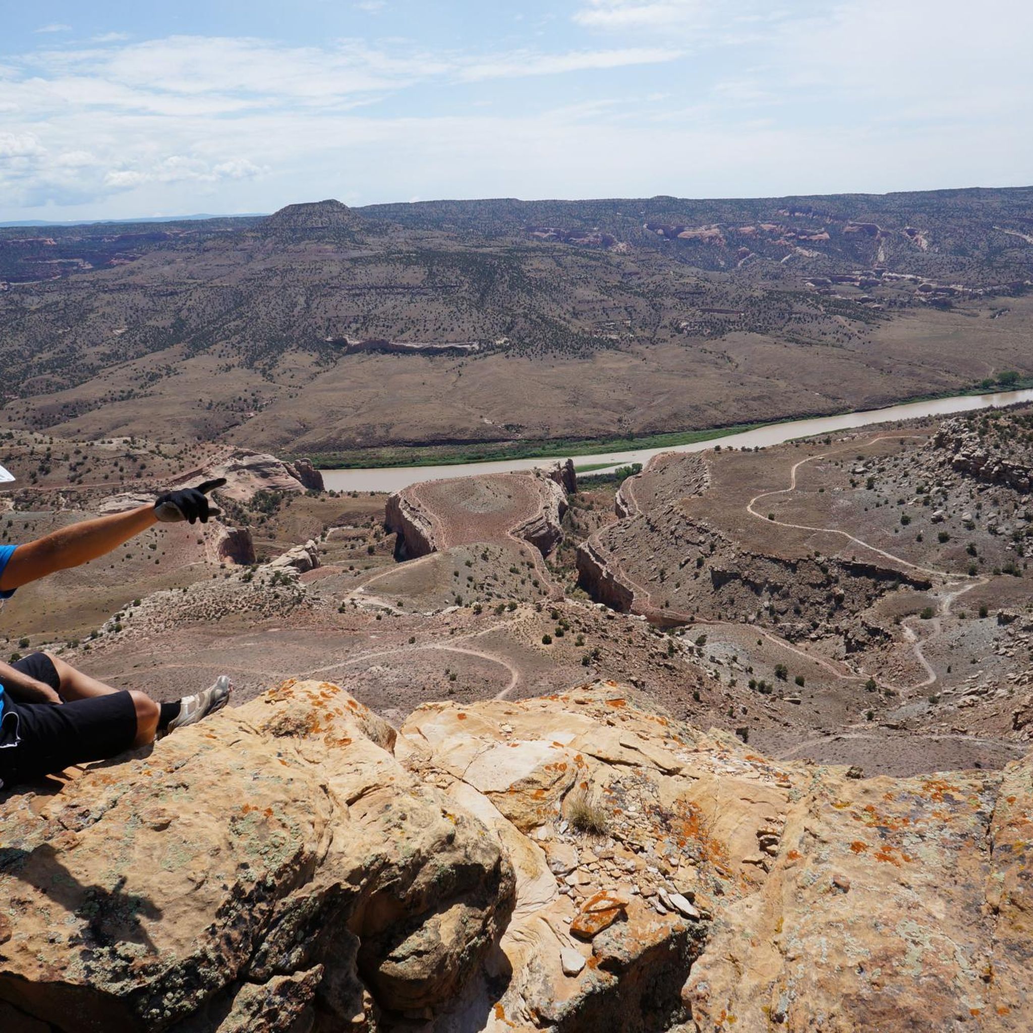
MTB Trails in the Uncompahgre Plateau

Gravel biking in the Uncompahgre Plateau
Other adventures in the Uncompahgre Plateau


Tips from the Community


The Tabegauch Trail is not a very challenging trail, but it rewards you with some great views. It is popular with hikers, runners and bikers, so make sure you are aware of the other users while you are out enjoying the path.
0
0

Ribbon Trail offers views of sandstone slickrock and the "ribbons" of color in the rocks. Mountain biking is popular on this trail, so be cautious of cyclists.
0
0
No Thoroughfare Canyon Trail goes through a remote canyon in Colorado National Monument, so it is important that you are prepared for the remoteness. It passes some waterfalls and gives you some great views.
0
0
Devil's Kitchen is a popular out and back trail. At the end it dead-ends in a canyon where you can climb up onto the large rocks.
0
0
Originally built in the early 1900s, Serpents Trail was part of a main road until 1950. Now, it is a popular hiking and running trail due to the great views you get of the nearby sandstone cliffs.
0
0
The Ute Canyon Trail is a popular trail due to the great views of the canyon that you get from the path. At the end of the trail, the path climbs up out of the canyon via several switchbacks.
0
0
Window Rock is a popular running and hiking spot as there are great views of the Grand Junction, Palisade, and the Book Cliffs.
0
0
Frequently Asked Questions
How many running routes are available in the Uncompahgre Plateau?
The Uncompahgre Plateau offers a wide selection of running trails, with over 50 routes documented on komoot. These routes cater to various skill levels, ensuring there's something for everyone.
Are there running trails suitable for beginners in the Uncompahgre Plateau?
Yes, the Uncompahgre Plateau has 6 easy running routes perfect for beginners or those looking for a relaxed jog. An example is the Devil's Kitchen Trail run, which is an easy 1.4-mile (2.3 km) path.
What kind of terrain can I expect on the running routes in the Uncompahgre Plateau?
The Uncompahgre Plateau features diverse terrain, transitioning from lower-altitude sage and pinyon-juniper forests to higher-elevation aspen groves and ponderosa pines. You'll find relatively flat mesas dramatically interrupted by numerous canyons and gulches, offering varied running surfaces from smooth paths to more challenging rocky sections.
Are there any scenic viewpoints or natural landmarks along the running trails?
Absolutely. The region is rich in natural beauty. Many trails offer stunning views of red rock canyons and expansive mesas. For example, the Canyon Rim and Window Rock Trail leads to Window Rock, which provides panoramic views of Grand Junction and the Book Cliffs. The Serpents Trail also offers scenic vistas during its steady climb.
Are there any loop running routes available?
Yes, many of the running routes in the Uncompahgre Plateau are designed as loops, offering a varied experience without retracing your steps. The Monument and Wedding Canyon Loop is a popular 4.5-mile (7.2 km) option, and Rustler's Loop is another great choice for a circular run.
What do other runners enjoy most about jogging in the Uncompahgre Plateau?
The running routes in the Uncompahgre Plateau are highly rated by the komoot community, with an average score of 5.0 stars from over 8 reviews. Runners often praise the diverse terrain, from red rock canyons to dense forests, and the variety of options for different ability levels. The solitude and connection with nature are also frequently highlighted.
Are the running trails in the Uncompahgre Plateau family-friendly?
Yes, there are several trails suitable for families, especially the easier routes. These paths often have less elevation gain and are shorter in distance, making them enjoyable for all ages. Look for routes marked as 'easy' on komoot, such as the Devil's Kitchen Trail.
Is the Uncompahgre Plateau a good place for trail running with dogs?
Many trails in the Uncompahgre Plateau are dog-friendly, but it's always best to check specific trail regulations before heading out. Ensure your dog is on a leash and that you carry enough water for both of you, especially during warmer months, as services on the plateau are limited.
What are the parking options for accessing running trails?
Main access routes like Highway 90 and Divide Road make many trailheads accessible by regular passenger vehicles. While specific parking details vary by trailhead, generally you'll find designated parking areas. However, be prepared with adequate supplies as there are no services directly on the plateau itself.
When is the best time of year to go running in the Uncompahgre Plateau?
The diverse elevation of the Uncompahgre Plateau means conditions can vary. Lower altitudes are pleasant in spring and fall, while higher elevations offer cooler temperatures during summer. Winter running is possible, but some trails may be covered in snow, requiring appropriate gear and caution. Always check local weather and trail conditions before you go.
Are there any longer distance running trails for advanced runners?
Yes, the Uncompahgre Plateau offers 22 difficult routes and 27 moderate routes, providing ample challenge for advanced runners. The extensive trail system, including parts of the Uncompahgre National Forest, has hundreds of miles of trails, allowing for longer, more strenuous runs through varied terrain and significant elevation changes.
What kind of wildlife might I encounter while running?
The Uncompahgre Plateau is home to diverse wildlife. While running, you might spot mule deer, elk, and various bird species. The relatively 'under the radar' nature of the plateau means you can often enjoy a quiet connection with nature and its inhabitants.
Most popular routes in the Uncompahgre Plateau
Most popular attractions in the Uncompahgre Plateau

Get inspired with the komoot mobile app


Explore more
Browse the best Running Trails & Routes in other regions.
