The best walks and hikes around Lirey
4.5
(103)
506
hikers
98
hikes
Hiking around Lirey offers access to a landscape characterized by forests, open fields, and water features such as the Montaigu Fountain and Pond. The terrain primarily consists of gentle to moderate ascents and descents, suitable for various hiking abilities. The region provides a network of trails that traverse wooded areas and lead to local landmarks.
Best hiking trails around Lirey
- The most popular hiking route is Montaigu Fountain and Pond – Montaigu loop from Bouilly, a 9.7 miles (15.6…
Last updated: October 7, 2026
4.3
(3)
19
hikers
11.3km
03:13
200m
200m
Moderate hike. Good fitness required. Mostly accessible paths. Sure-footedness required.
4.5
(2)
14
hikers
16.5km
04:46
330m
330m
Moderate hike. Good fitness required. Mostly accessible paths. Sure-footedness required.

4.0
(2)
14
hikers
27.6km
08:05
600m
610m
Hard hike. Very good fitness required. Mostly accessible paths. Sure-footedness required.
12
hikers
8.43km
02:24
180m
180m
Moderate hike. Good fitness required. Mostly accessible paths. Sure-footedness required.
4.5
(2)
5
hikers
12.1km
03:07
70m
70m
Moderate hike. Good fitness required. Easily-accessible paths. Suitable for all skill levels.
Get access to more routes and recommendations from other explorers.
Already have an account?
Our route recommendations are based on thousands of hikes, rides, and runs completed by other people on komoot.
Start today with a free account
Your next adventure awaits.


Tips from the Community


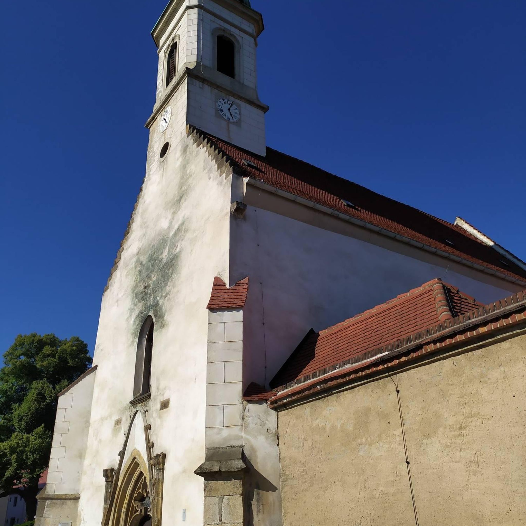
Oscar Lloveras' Spatial Construction plays with space and movement. Composed of materials and colors, it integrates into the landscape by modifying our perception of places.
0
0


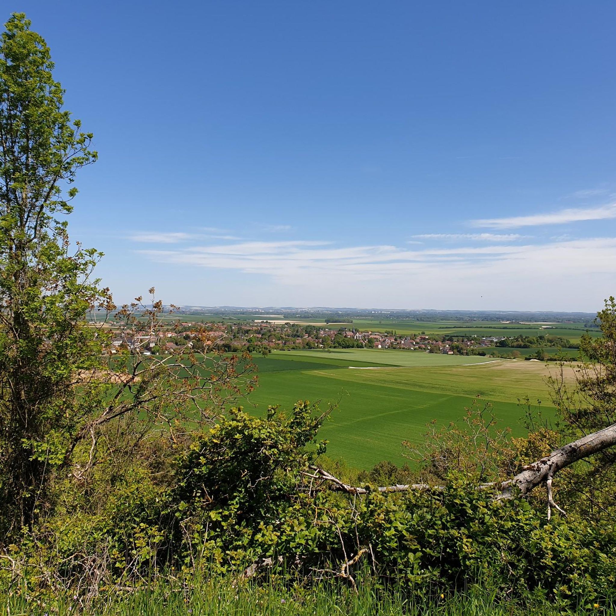
Today wooded - several markers indicate the most remarkable species - the mound opens onto a clearing where two ponds and a fountain indicating a source stand. At the bottom, several paths rise, sometimes abruptly, to the oppidum overlooking the site, crossing a double crown of ditches using footbridges. From there, several panoramas unfold offering breathtaking views of the city of Troyes and the Champagne plain.
0
0

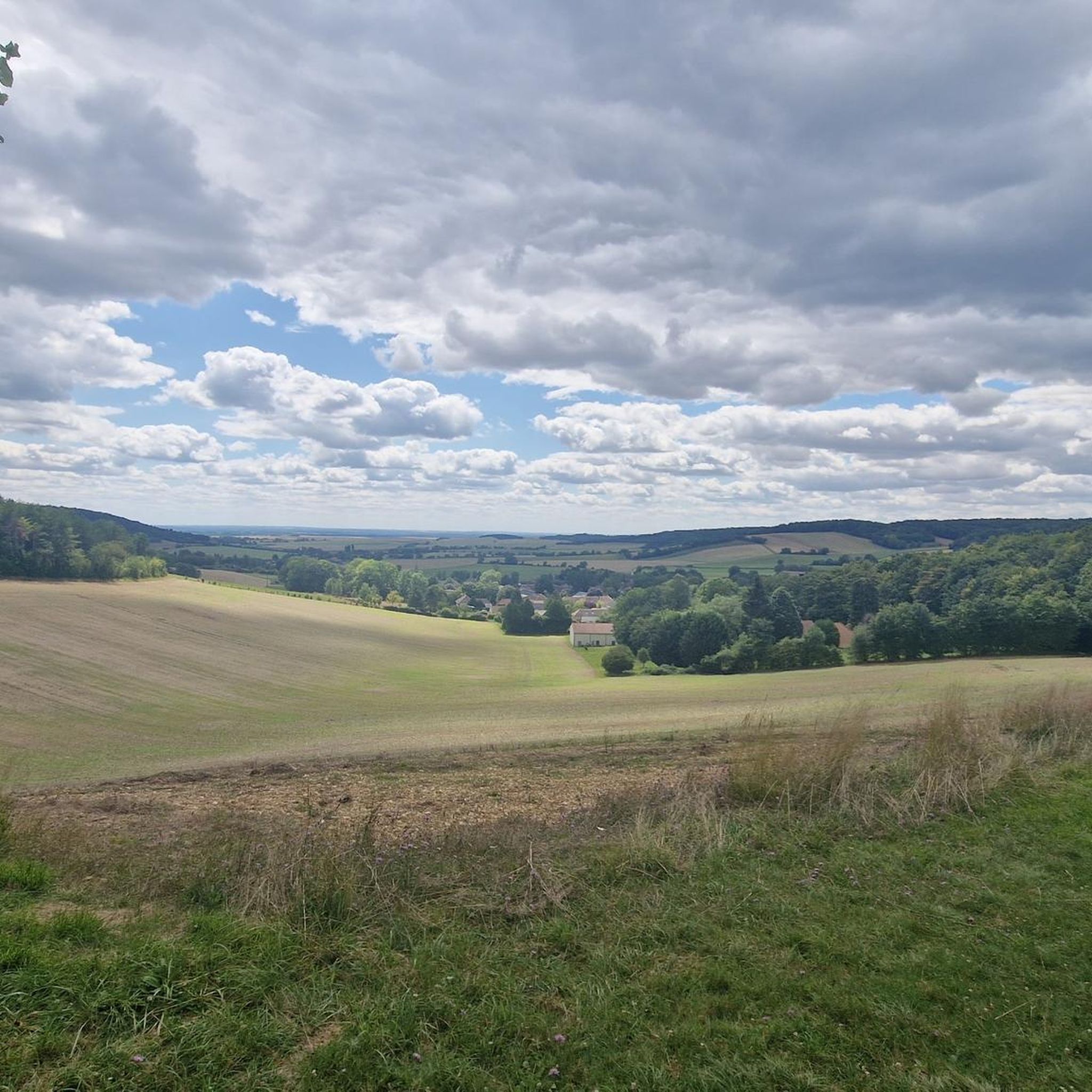
The Montaigu fountain and pond are perfect places to take a break. The place has a picnic table and playground. On the hill of Montaigu, located above the source, was once the castle of the Counts of Champagne. The stronghold was destroyed in the 15th century following the Treaty of Troyes. At the top of the mountain, you have a panoramic view of the plain.
0
0

Come to a club to help its members maintain these trails.
0
0

This natural site offers a breathtaking view of the city and the Champagne plain from the top of a hill which once housed a medieval castle. You can also discover the wooded paths, the old ditches and the fountain which marks a source. Picnic tables and benches will allow you, if you wish, to rest for a moment during your race.
2
0
This monument, erected in 1946, pays tribute to the resistance fighters of the Libé-Nord movement who fought against the Nazis during the Second World War. A quiet place to take a break from your run and enjoy a panoramic view of the Champagne plain.
2
1
Frequently Asked Questions
What kind of terrain can I expect on hiking trails around Lirey?
Hiking around Lirey features a varied landscape of dense woodlands, open fields, and tranquil water features like the Montaigu Fountain and Pond. The trails primarily consist of gentle to moderate ascents and descents, making them suitable for a range of hiking abilities.
Are there any easy hiking trails suitable for beginners in Lirey?
Yes, Lirey offers several easy hiking options. Out of the 66 available routes, 7 are classified as easy, providing accessible paths for beginners or those looking for a relaxed walk. These trails often traverse wooded areas and offer a gentle introduction to the region's natural beauty.
What are some notable landmarks or points of interest to see while hiking in Lirey?
Many trails in Lirey lead to or pass by local landmarks. You can explore the serene Montaigu Fountain and Pond, visit the Monument of Montaigu, or even reach the Montaigu summit for elevated views. Some routes also offer viewpoints like the Descent/ascent on/from Sommeval.
Are there any circular hiking routes available in Lirey?
Yes, Lirey has numerous circular hiking routes. For example, the Montaigu Fountain loop from Bouilly is a moderate 6.8-mile (10.9 km) path that takes you through woodlands and around the fountain area, bringing you back to your starting point.
How long do hikes in Lirey typically take to complete?
Hiking durations in Lirey vary depending on the route and your pace. Moderate trails like the Very nice forest trail – Balcon de Sommeval loop from Sommeval, which is about 6.8 miles (10.9 km), can take around 3 hours. Longer, more challenging routes, such as the Montaigu – Montaigu Fountain and Pond loop from Bouilly (17.1 miles / 27.6 km), might require over 8 hours.
What do other hikers enjoy most about the trails in Lirey?
The hiking trails in Lirey are highly rated by the komoot community, with an average score of 4.5 stars from over 70 reviews. Hikers often praise the varied forest paths, the tranquility of the ponds, and the well-maintained network of trails that cater to different skill levels.
Are there family-friendly hiking options in Lirey?
While specific family-friendly routes are not detailed, the presence of 7 easy trails and the generally gentle to moderate terrain suggest that many paths are suitable for families. Look for shorter, less elevated routes to ensure an enjoyable experience for all ages.
What is the best season for hiking in Lirey?
The guide data does not specify a 'best' season, but given the region's characteristics of woodlands and open fields, spring and autumn are generally ideal for hiking, offering pleasant temperatures and vibrant scenery. Summer can also be enjoyable, especially in shaded forest areas, while winter hikes might offer a different, serene experience, though conditions could be more challenging.
Are there any trails with good viewpoints in Lirey?
Yes, several trails offer scenic viewpoints. The Descent/ascent on/from Sommeval is a designated viewpoint, and routes around the Montaigu summit are likely to provide elevated perspectives of the surrounding landscape.
How many hiking trails are available in the Lirey area?
There are over 60 hiking trails available around Lirey, offering a wide variety of options for different skill levels and preferences. This includes 7 easy routes, 54 moderate routes, and 5 more challenging trails.
Are there any dog-friendly trails in Lirey?
The guide data does not explicitly state which trails are dog-friendly. However, many natural outdoor areas with woodlands and open fields are generally welcoming to dogs on a leash. It's always recommended to check local regulations or signage at trailheads regarding pets.
Most popular attractions around Lirey

Get inspired with the komoot mobile app


Explore more
Browse the best Hikes in other regions.
