The best walks and hikes around Golinhac
4.4
(344)
1,964
hikers
14
hikes
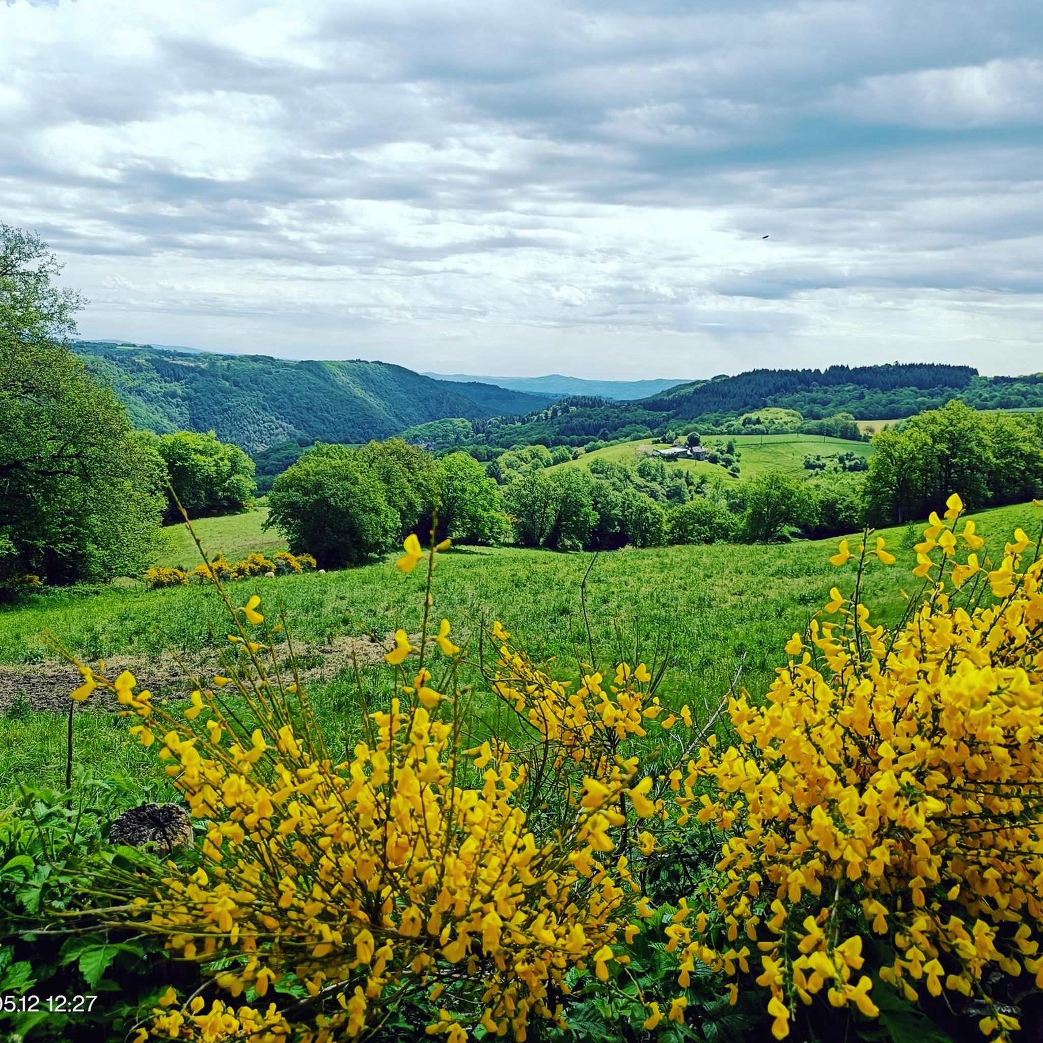
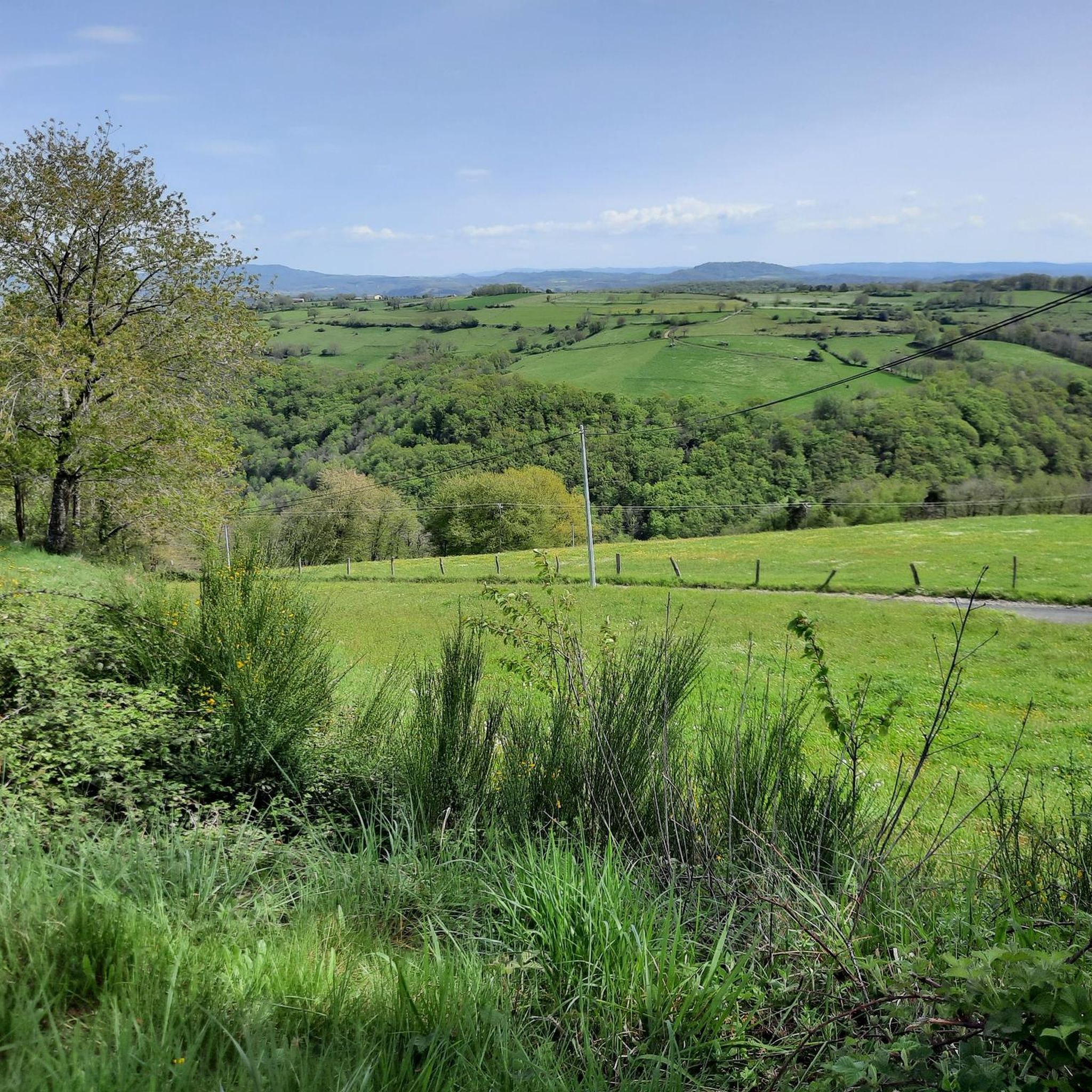
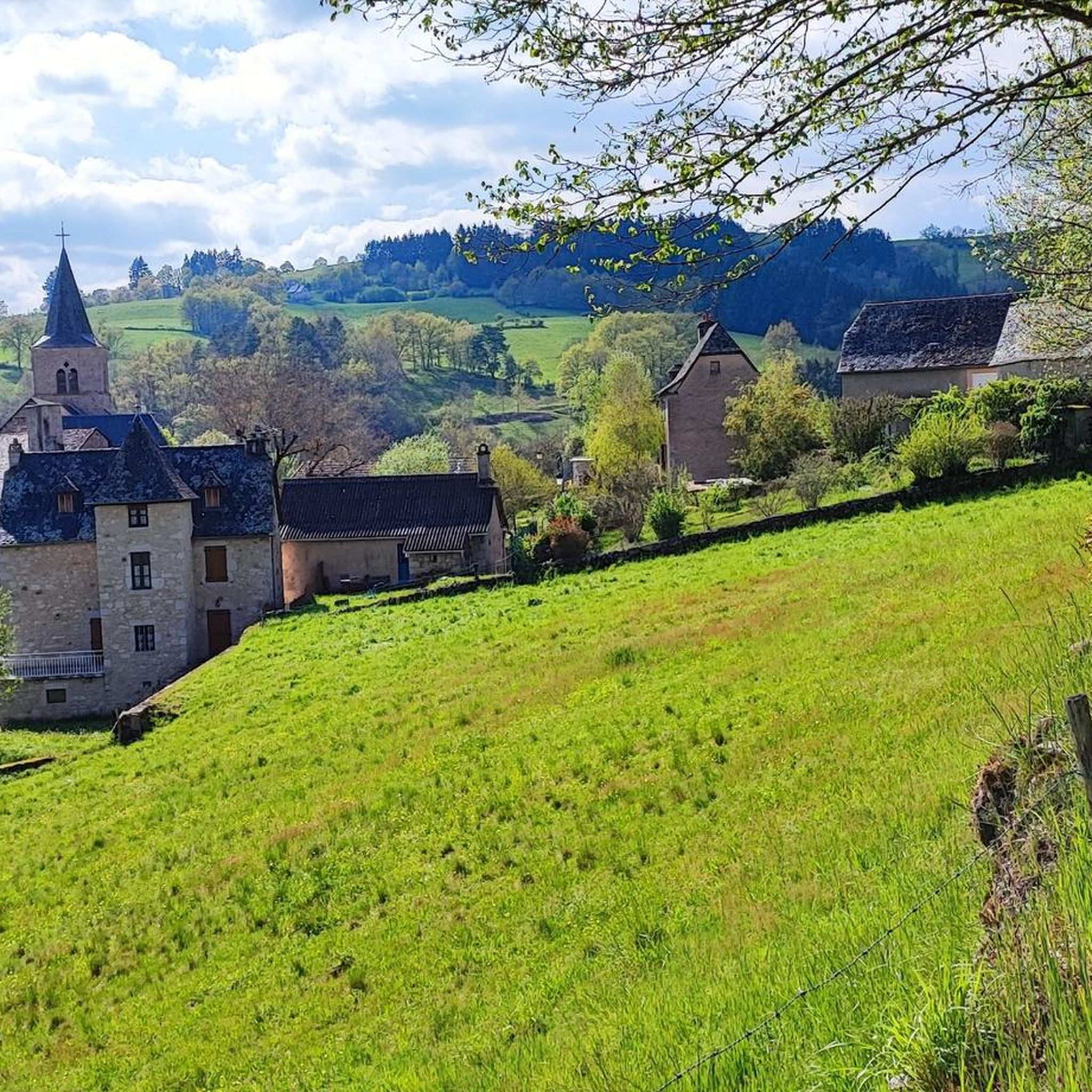
Hiking around Golinhac offers diverse landscapes in the Aveyron department of Occitanie, France. The region is characterized by its position more than 400 meters above the Lot Gorges, providing views of the Lot Valley with its meanders and riverbanks. Trails transition from the river's edge to wooded ridges and granite plateaus, often leading through dense woodlands and past unique geological features like "chaos granitique." The area also features streams and waterfalls, contributing to varied hiking experiences.
Best hiking trails around Golinhac
- The most popular hiking route is Abri chez Garou – Golinhac loop from Golinhac, a 18.4 miles (29.6 km) difficult trail that takes 8 hours 22 minutes to complete. This challenging loop offers extensive views across the Lot Valley and through varied terrain.
- Another top favourite among local hikers is Golinhac – La Ferme du Battedou loop from Golinhac, a difficult 10.7 miles (17.2 km) path. This route navigates through forests and open areas, providing a demanding yet rewarding experience.
- Local hikers also love the GR 65 / Jakobsweg – Village of Estaing loop from Barrage de Golinhac, a 10.1 miles (16.3 km) trail leading through the historic GR 65 pilgrimage route, often completed in about 4 hours 45 minutes.
- Hiking around Golinhac is defined by the Lot Valley, dense woodlands, and granite plateaus, with sections of the historic GR 65. The network offers options for easy, moderate, and difficult ability levels.
- The routes in Golinhac are highly rated by the komoot community with an average score of 4.5 stars from over 300 reviews. More than 2000 hikers have used komoot to explore Golinhac's varied terrain.
Last updated: June 29, 2026
4.8
(6)
25
hikers
17.3km
05:21
630m
630m
Hard hike. Very good fitness required. Easily-accessible paths. Suitable for all skill levels.
5.0
(1)
29
hikers
16.3km
04:45
430m
430m
Moderate hike. Good fitness required. Easily-accessible paths. Suitable for all skill levels.

Sign up for free
5.0
(1)
27
hikers
19.0km
05:27
460m
460m
Hard hike. Very good fitness required. Easily-accessible paths. Suitable for all skill levels.
3.6
(5)
19
hikers
10.3km
02:49
160m
150m
Moderate hike. Good fitness required. Easily-accessible paths. Suitable for all skill levels.
5.0
(1)
26
hikers
18.6km
05:21
460m
460m
Hard hike. Very good fitness required. Easily-accessible paths. Suitable for all skill levels.
Get access to more routes and recommendations from other explorers.
Sign up for free
Already have an account?
Our route recommendations are based on thousands of hikes, rides, and runs completed by other people on komoot.
Start today with a free account
Your next adventure awaits.
Login or Signup

Tips from the Community

beautiful bridge that will take you to the castle of the Valérie Giscard d'Estaing family
0
0

Refreshment area with water, a bench, and a restroom, all in the company of Garou. Don't be intimidated, he loves cuddles. 🐕
0
0

A charming village at the confluence of the Lot and Truyere rivers. More information: https://de.wikipedia.org/wiki/Entraygues-sur-Truy%C3%A8re?wprov=sfla1
2
0


really typical bridge but with a cross and a statue facing each other
0
0

Look around you, it's sparkling in the sun ☀️ Schists (from the Greek skhistos: capable of splitting) are metamorphic rocks, transformed by the high temperatures and pressures they experienced during the formation of the Hercynian mountain range. Originally, they were more or less clayey sediments deposited on the shores of an ocean located between two continents, which transformed into schists through the recrystallization of minerals. Here we find a sericite schist, containing small mica crystals that give it a slightly lustrous appearance.
0
0
To discover on your right as you go up
1
0

Battedou Farm For a weekend or an authentic stay in Aveyron on the Gorges du Lot Carine and François TISON welcome you on an Organic Farm with animals. We offer, for a stay of one night or more, our 4 gîtes, 2 guest rooms and 6 campsites. Total capacity 50 people: 26 in hard and 24 in camping Shared swimming pool Host table
0
0
Frequently Asked Questions
What kind of terrain can I expect on hiking trails around Golinhac?
The terrain around Golinhac is quite varied, offering a mix of landscapes. You'll find paths along the Lot Valley's meanders, through dense woodlands of oak, chestnut, and beech, and across granite plateaus featuring unique "chaos granitique" rock formations. The elevation changes can be significant, with trails ranging from moderate to difficult.
Are there any waterfalls or natural monuments to see on hikes near Golinhac?
Yes, the region is rich in natural features. You can discover streams like the Luzane and Daze, and the Gachou waterfalls are a pleasant spot for refreshment. For specific highlights, consider visiting the Muret-le-Château Waterfall or the Polissale Waterfall. The dramatic Lot Gorge also offers impressive views.
What is the best time of year to go hiking in Golinhac?
The region around Golinhac is beautiful throughout much of the year. Spring and autumn offer pleasant temperatures and vibrant colors in the woodlands. Summer provides ample shade from the dense forests, which is welcome on warmer days. While winter hiking is possible, be prepared for cooler temperatures and potentially different trail conditions.
Are there any family-friendly hiking options around Golinhac?
While many trails in Golinhac are rated moderate to difficult, there are easier options available. The region has 5 easy routes out of 14 total. When planning a family hike, look for shorter routes with less elevation gain, often found closer to the Lot River or within the less steep parts of the woodlands.
Can I bring my dog on the hiking trails in Golinhac?
Generally, dogs are welcome on hiking trails in the Golinhac area, especially on public footpaths. However, it's always advisable to keep them on a leash, particularly when passing through agricultural areas, near livestock, or in nature reserves to protect local wildlife and ensure their safety. Check specific trail regulations if you plan to enter protected areas.
Are there any circular hiking routes available from Golinhac?
Yes, many of the trails around Golinhac are designed as loops, allowing you to start and end in the same location. For example, the Golinhac – La Ferme du Battedou loop from Golinhac is a challenging 17.2 km route, and the GR 65 / Jakobsweg – Village of Estaing loop from Barrage de Golinhac offers a moderate 16.3 km experience.
What historical or cultural landmarks can I see while hiking near Golinhac?
The region is steeped in history, particularly due to its connection to the Way of St. James (GR 65). You might encounter ancient stone crosses along the trails. Nearby, the picturesque village of Estaing, known for its castle and as a "Most Beautiful Village," is a notable stop. The Estaing Bridge is also a significant landmark. Conques, renowned for its abbey, is another cultural highlight accessible via the GR 65.
How difficult are the hiking trails around Golinhac?
The trails around Golinhac offer a range of difficulties. Out of 14 total routes, there are 5 easy, 5 moderate, and 4 difficult options. The more challenging routes often involve significant elevation changes as they traverse from the Lot Valley up to wooded ridges and granite plateaus. For example, the GR 65 / Jakobsweg – Golinhac loop from Campuac is a difficult 19 km hike.
Is Golinhac located on the GR 65 pilgrimage route?
Yes, Golinhac is strategically located on the GR 65, also known as the Via Podiensis, which is a significant path of the Way of St. James (Chemin de Saint-Jacques-de-Compostelle). This makes it a popular stop for pilgrims and offers numerous opportunities to hike sections of this historic route, such as the Golinhac – GR 65 / Jakobsweg loop from Golinhac.
What do other hikers enjoy most about hiking in Golinhac?
The area is highly rated by the komoot community, with an average score of 4.5 stars from over 300 reviews. Hikers often praise the diverse landscapes, from the stunning views of the Lot Valley to the peaceful, dense woodlands and unique granite formations. The well-maintained trails and the opportunity to experience sections of the historic GR 65 are also frequently highlighted.
Are there good viewpoints along the hiking trails in Golinhac?
Absolutely. The village itself is perched more than 400 meters above the Lot Gorges, offering stunning panoramic views of the Lot Valley. An elevated path from the Chapelle Notre-Dame-des-Hauteurs provides exceptional vistas of the Lot Valley, the Viadène region, and even the distant Monts d'Aubrac and Auvergne on clear days. The Puech de Montabez Viewpoint is another excellent spot.
What are the parking options for hikers in Golinhac?
While specific parking areas for each trailhead are not detailed, Golinhac is a commune with facilities for visitors. You can typically find parking within the village itself, especially near the church or main square, which often serves as a starting point for local loops. For routes starting outside the village, look for designated parking areas near trailheads or small hamlets.
Most popular attractions around Golinhac

Get inspired with the komoot mobile app


Explore more
Browse the best Hikes in other regions.
