The best walks and hikes around Landrichamps
4.5
(1693)
7,765
hikers
351
hikes
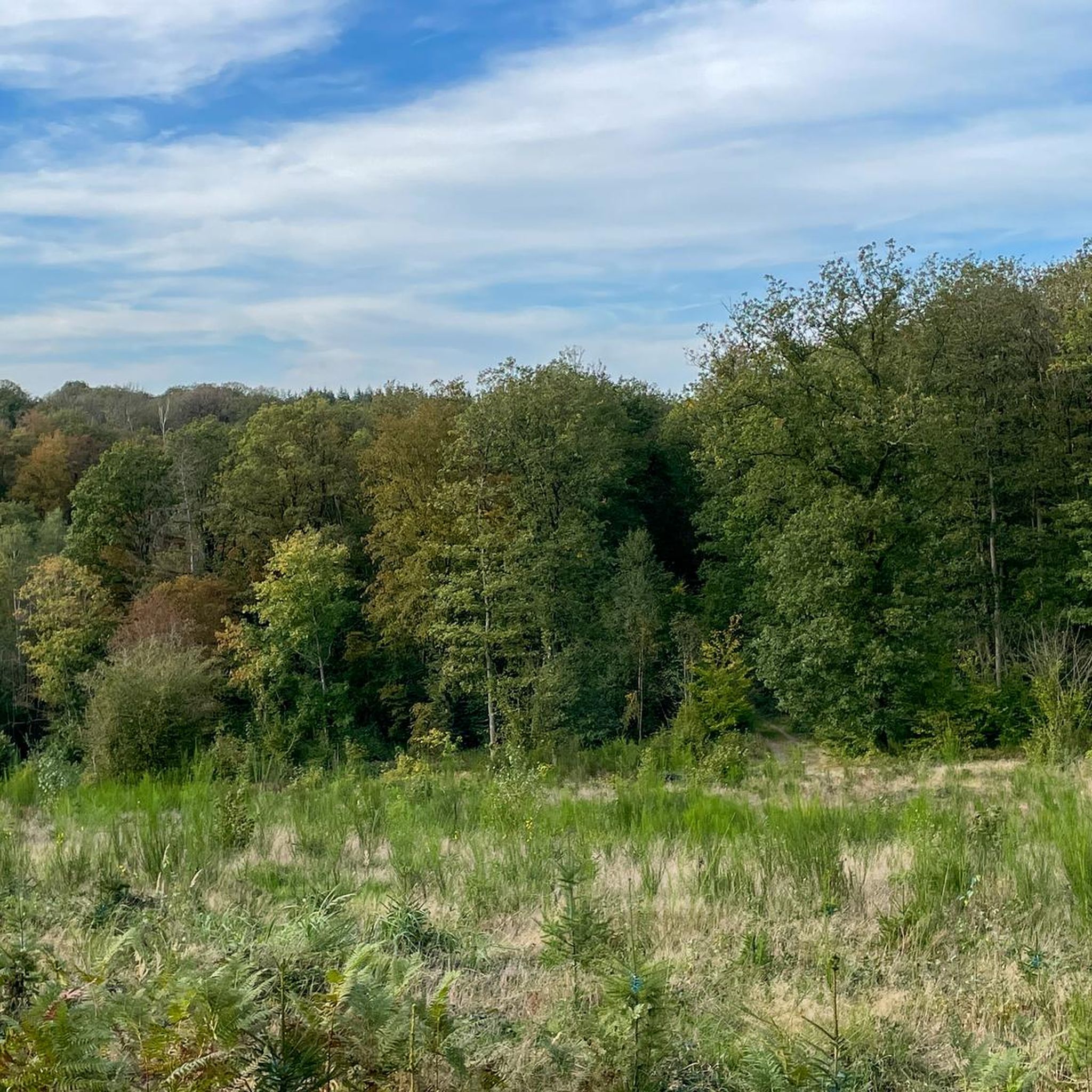
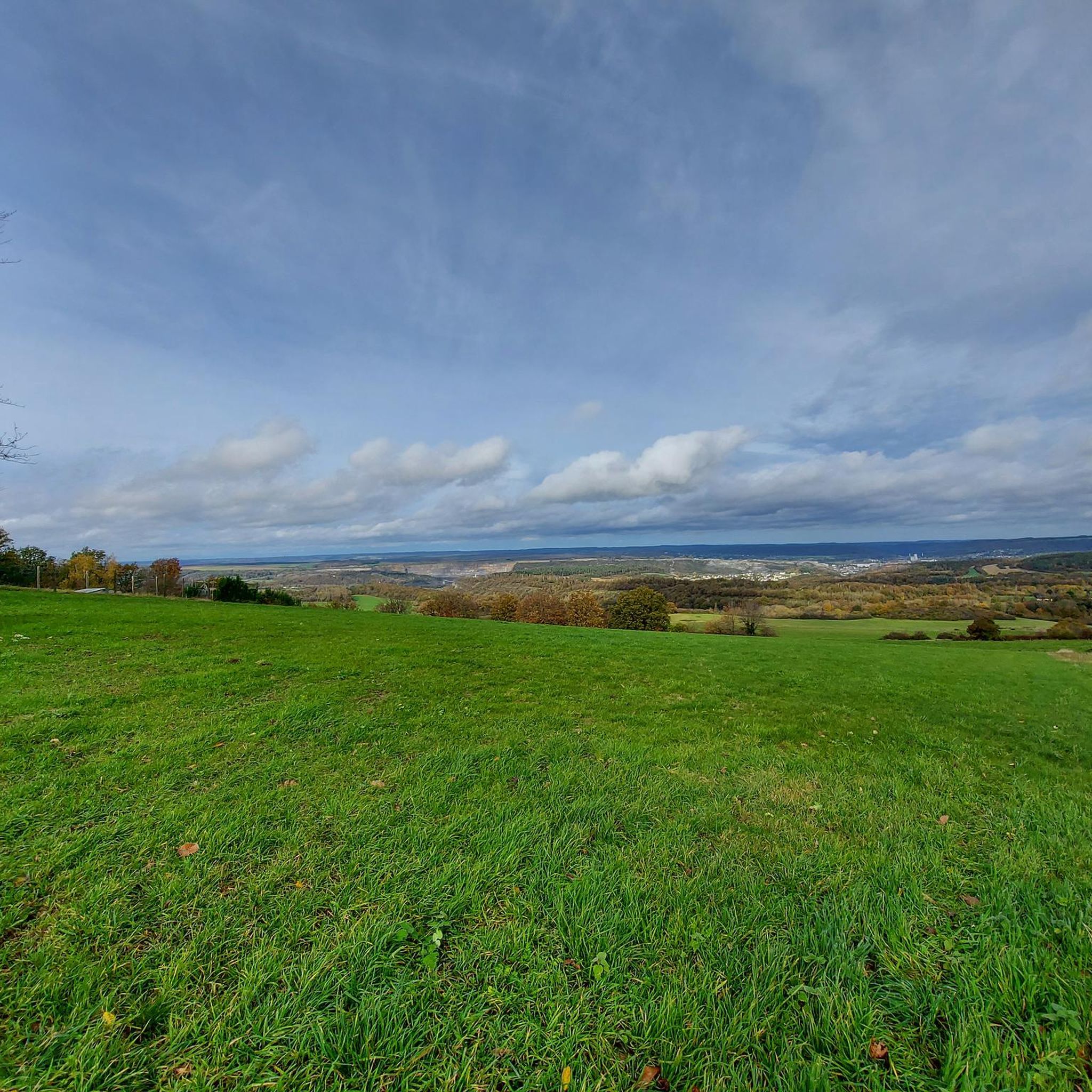
Hiking around Landrichamps offers diverse terrain, from vast open fields to dense forests, and is situated on a plateau overlooking the Meuse Valley. The region is characterized by varied landscapes including valleys, high plateaus, and natural "balconies" that provide elevated perspectives. Trails lead through the Bois de Landrichamps, offering immersion in the natural environment of the Ardennes.
Best hiking trails around Landrichamps
- The most popular hiking route is View of the Open Fields – Forest Stream loop from Felenne,…
Last updated: June 26, 2026
4.3
(23)
71
hikers
5.76km
01:39
140m
140m
Easy hike. Great for any fitness level. Easily-accessible paths. Suitable for all skill levels.
4.8
(17)
70
hikers
9.33km
02:42
240m
240m
Moderate hike. Good fitness required. Easily-accessible paths. Suitable for all skill levels.

Sign up for free
4.3
(9)
32
hikers
12.1km
03:28
290m
290m
Moderate hike. Good fitness required. Easily-accessible paths. Suitable for all skill levels.
4.0
(5)
33
hikers
7.83km
02:12
170m
170m
Moderate hike. Good fitness required. Easily-accessible paths. Suitable for all skill levels.
4.6
(5)
12
hikers
19.0km
05:21
400m
400m
Hard hike. Very good fitness required. Easily-accessible paths. Suitable for all skill levels.
Get access to more routes and recommendations from other explorers.
Sign up for free
Already have an account?
Our route recommendations are based on thousands of hikes, rides, and runs completed by other people on komoot.
Start today with a free account
Your next adventure awaits.
Login or Signup

Tips from the Community

Central BBQ under a pyramid-shaped canopy with tables and benches all around for groups of up to 40 people.
0
0

To the left of Place de Felenne, the large cast iron pump from the end of the 19th century and its limestone tank recall the time when there was still no running water available.
5
0
Beautiful depth view of Felenne.
11
0
At the stables there is a bench with a beautiful view.
5
0
A well-equipped picnic area along the Olenne with several huts.
11
0
Nothing remains of the project. You do have a passage through the stream here.
11
0
Orlinfagne is a beautiful nature reserve in the Belgian Ardennes, located near Gedinne and Beauraing. The area is known for its diverse and valuable natural habitats, including the tourbière forest and the lands. Orlinfagne is an important part of the Natura 2000 area "Vallée de la Houille en aval de Gedinne". It is home to several endangered species, such as the black stork, the bondrée apivore and the small lamproie. The area is also ideal for numerous insect species. The area is open to the public and offers beautiful hiking trails through nature.
11
0
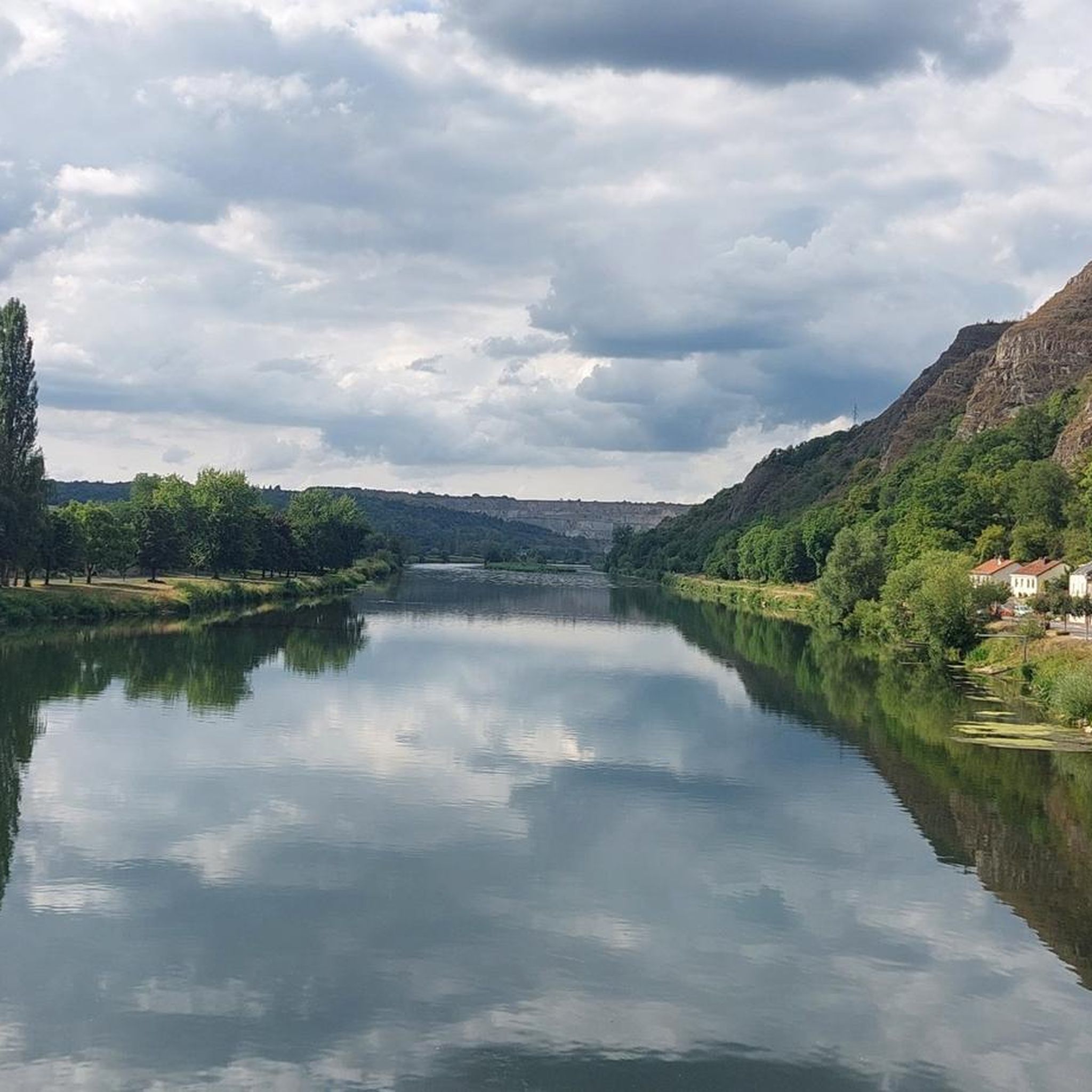
The Houille is a small river that rises in Gedinne and flows into the Meuse at Givet in France. Drinking water is obtained from the river in France, the water is of excellent quality and is very rich in oxygen. The beaver feels at home in the Houille.
9
0
Frequently Asked Questions
How many hiking trails are available around Landrichamps?
Landrichamps offers a wide variety of hiking opportunities, with over 330 routes available. These trails cater to different skill levels, including 111 easy routes, 196 moderate, and 29 more challenging options.
What kind of terrain can I expect on hikes in Landrichamps?
Hikes around Landrichamps feature diverse terrain, ranging from vast open fields and dense forests, particularly the Bois de Landrichamps, to valleys and high plateaus. You'll find natural 'balconies' offering elevated perspectives, and small forest streams like 'la Houille' meandering through the area.
Are there easy hiking options suitable for beginners or families in Landrichamps?
Yes, Landrichamps has numerous easy hiking options. For instance, the View of the forest path – L'Alliest Panorama loop from Felenne is an easy 5.9 km route that takes about 1 hour and 44 minutes to complete, perfect for a relaxed outing.
Where can I find panoramic viewpoints during my hike?
The region is known for its spectacular viewpoints. Many trails offer views of the Meuse Valley, the town of Givet, and the impressive Fort de Charlemont. The wider Ardennes Regional Nature Park also features natural 'balconies' providing elevated perspectives of the landscape.
Are there any circular hiking routes in Landrichamps?
Yes, many of the trails around Landrichamps are circular. An example is the Bench & panorama Bois Houdron – Félenne Water Pump loop from Felenne, a moderate 7.8 km route that can be completed in about 2 hours and 12 minutes.
What is the best time of year to go hiking in Landrichamps?
Landrichamps offers beautiful hiking experiences year-round. Summers are cool due to the average altitude of 400 meters, making it pleasant for hiking. Winters have a higher chance of snow, offering a different kind of scenic beauty. Spring and autumn showcase vibrant seasonal colors in the forests and fields.
What kind of wildlife might I encounter while hiking in Landrichamps?
The Ardennes Regional Nature Park, which includes Landrichamps, is rich in wildlife. Hikers often have the opportunity to spot deer, wild boars, and various birds of prey such as buzzards, kestrels, and red kites.
What do other hikers enjoy most about hiking in Landrichamps?
The area is highly rated by the komoot community, with an average score of 4.5 stars from over 1,400 reviews. Hikers often praise the diverse terrain, from open fields to dense forests, and the panoramic viewpoints over the Meuse Valley. The well-maintained network of routes also receives positive feedback.
Are there any historical or natural landmarks to see near the hiking trails?
Yes, the area around Landrichamps is rich in points of interest. You can explore natural monuments like the La Hulle river or enjoy the View of the Houille Valley from Charnois Belvedere. There are also castles nearby, such as the Castel Sainte-Marie Ruins.
Are there any longer, more challenging hikes available?
For those seeking a longer experience, the Clearings in the Forest – Solitary oak loop from Felenne is a moderate 12.1 km trail that typically takes about 3 hours and 28 minutes to complete, leading through forest clearings.
Is Landrichamps a good base for exploring the wider Ardennes region?
Absolutely. Landrichamps serves as a tranquil 'base camp' for exploring the extensive natural beauty of the Ardennes. The wider Ardennes Regional Nature Park offers over 1,200 km of marked footpaths, providing endless options for hikers of all levels.
Are there options for moderate difficulty hikes?
Yes, Landrichamps offers a significant number of moderate hikes. For example, the Picnic La Belette – View of the Open Fields loop from Felenne is a moderate 9.3 km path, offering a longer option through open fields and forest edges.
Most popular routes around Landrichamps
Most popular attractions around Landrichamps

Get inspired with the komoot mobile app


Explore more
Browse the best Hikes in other regions.
