The best road cycling routes around Annaberg-Lungötz
4.4
(136)
4,256
riders
29
rides
Road cycling routes around Annaberg-Lungötz are set within the Tennengebirge and Salzburg Dolomites mountain ranges, offering diverse terrain. The region features both flat routes along the Lammertal valley and demanding climbs over mountain passes. Cyclists will encounter verdant meadows, river valleys, and elevated sections.
Best road cycling routes around Annaberg-Lungötz
- The most popular road cycling route is Radstadt Parish Church – Höch Castle loop from Sankt Martin am Tennengebirge, a 32.2 miles (51.8 km) trail that takes 2 hours…
Last updated: July 2, 2026
4.0
(5)
43
riders
50.9km
02:25
590m
590m
Moderate road ride. Good fitness required. Mostly well-paved surfaces and easy to ride.
4.5
(6)
55
riders
Moderate road ride. Good fitness required. Mostly well-paved surfaces and easy to ride.

Sign up for free
5.0
(2)
48
riders
50.2km
02:52
1,140m
1,140m
Hard road ride. Very good fitness required. Mostly well-paved surfaces and easy to ride.
5.0
(1)
48
riders
Moderate road ride. Good fitness required. Mostly well-paved surfaces and easy to ride.
4.0
(5)
40
riders
Moderate road ride. Good fitness required. Mostly well-paved surfaces and easy to ride.
Get access to more routes and recommendations from other explorers.
Sign up for free
Already have an account?
Our route recommendations are based on thousands of hikes, rides, and runs completed by other people on komoot.
Start today with a free account
Your next adventure awaits.
Login or Signup
Popular around Annaberg-Lungötz
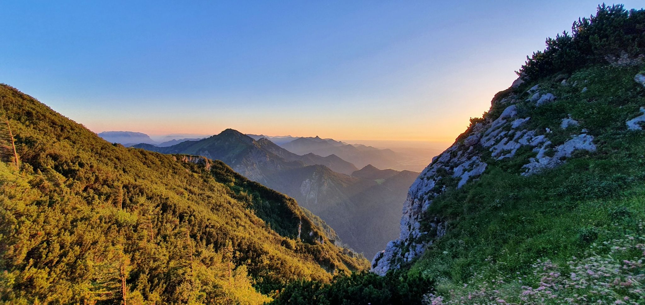
The SalzAlpenSteig – On the tracks of white gold
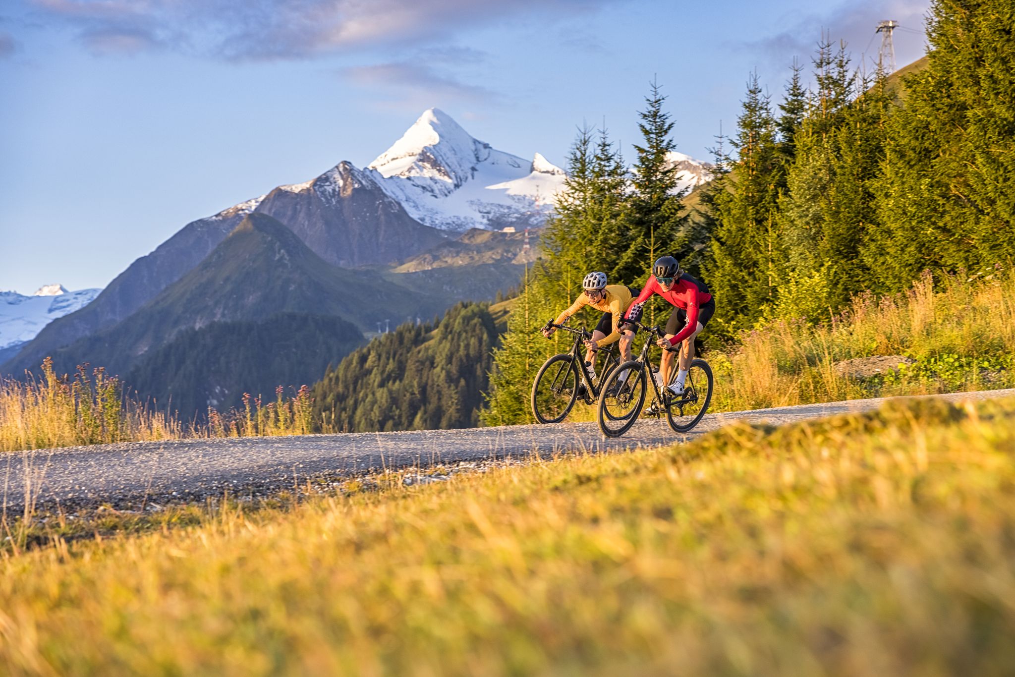
Graveltour SalzburgerLand: The Hard
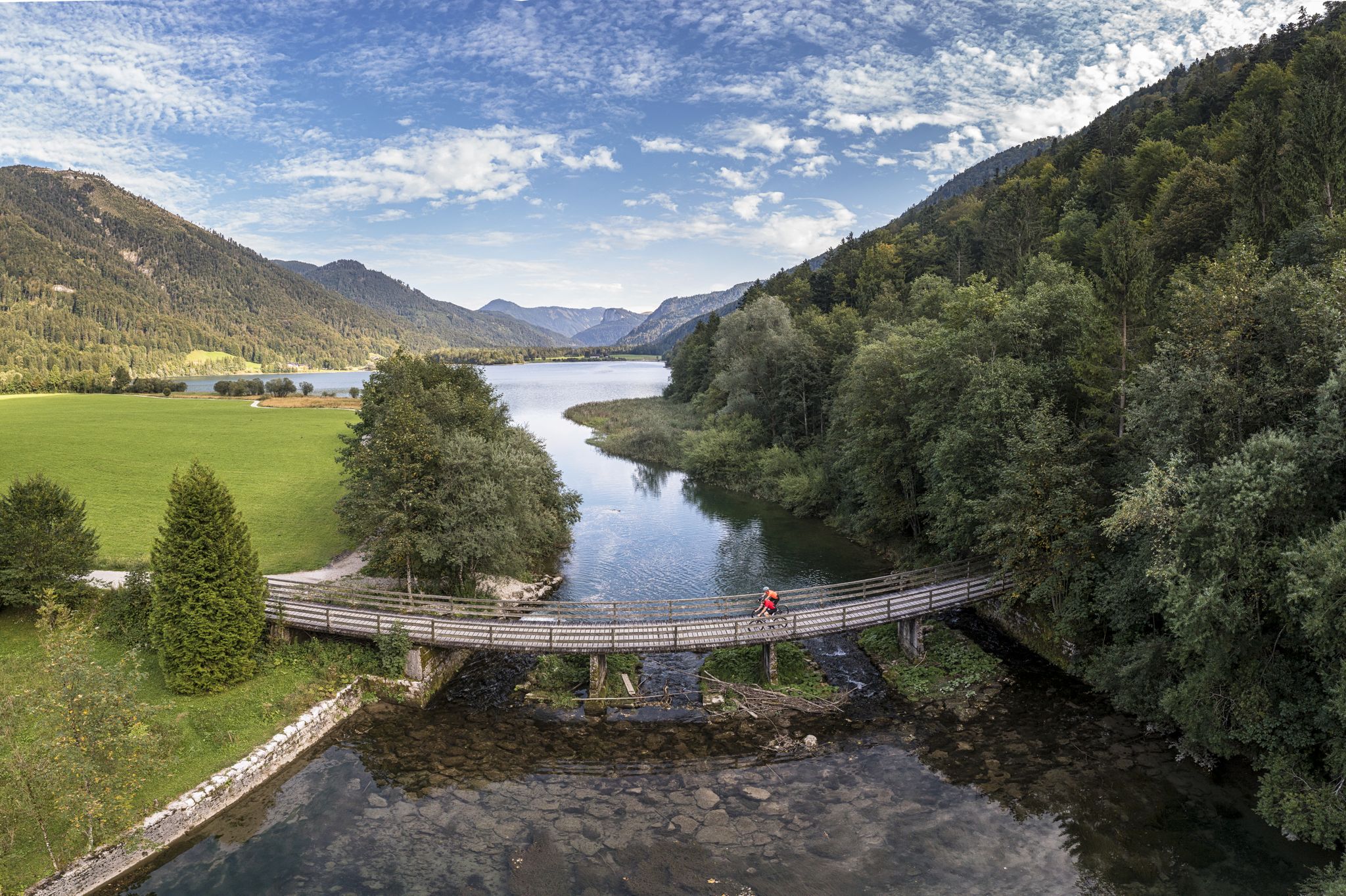
The Soft – a gravel bike loop through the Salzburg region
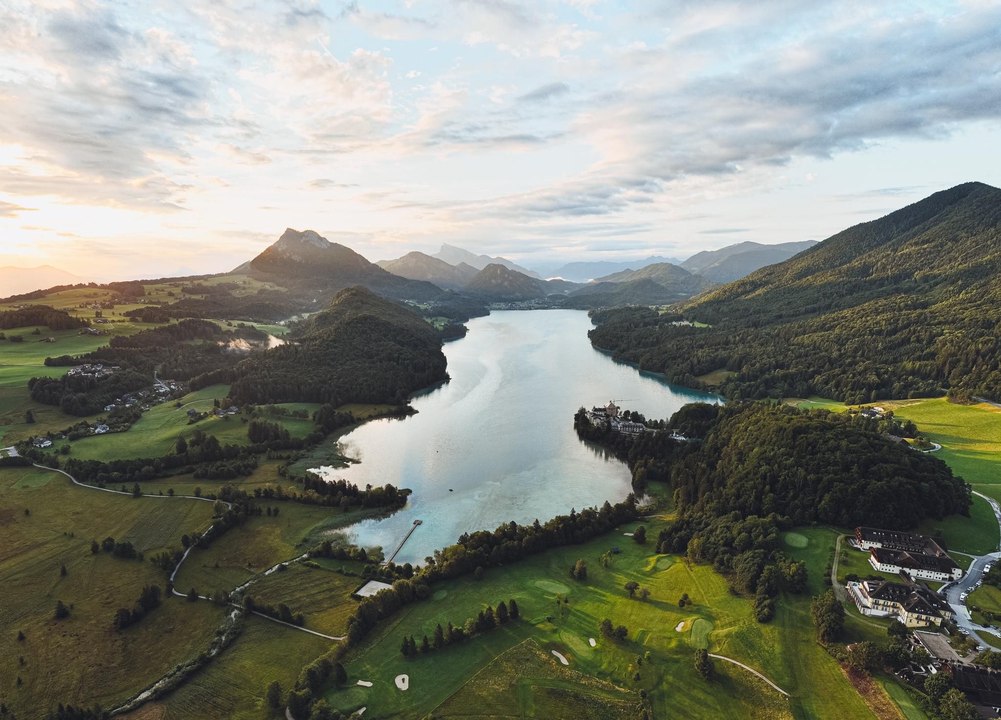
Moments of happiness at mountain lakes – Hiking Summer of Your Life
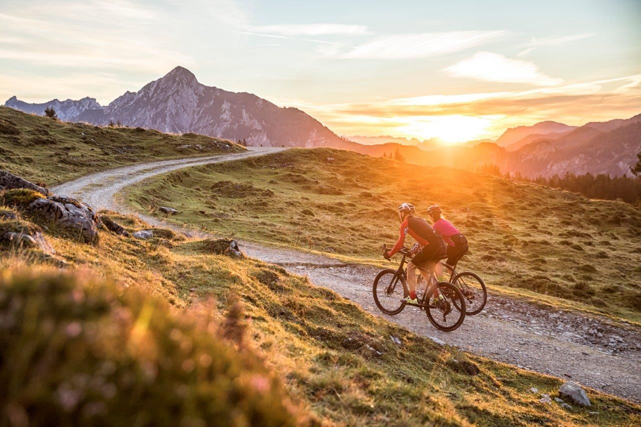
Cycle in SalzburgerLand – roads and gravel in Salzkammergut and Tennengau
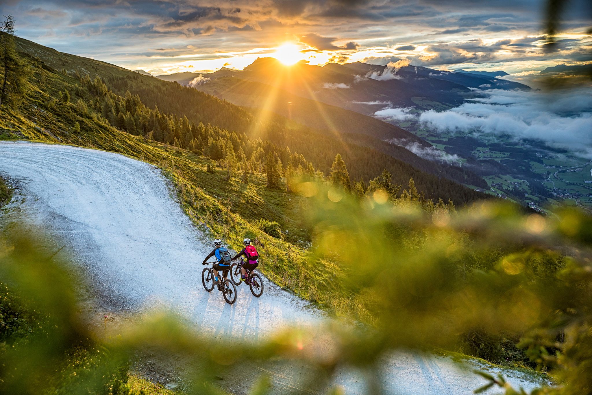
Top tips from bike hotels in southeastern Salzburg
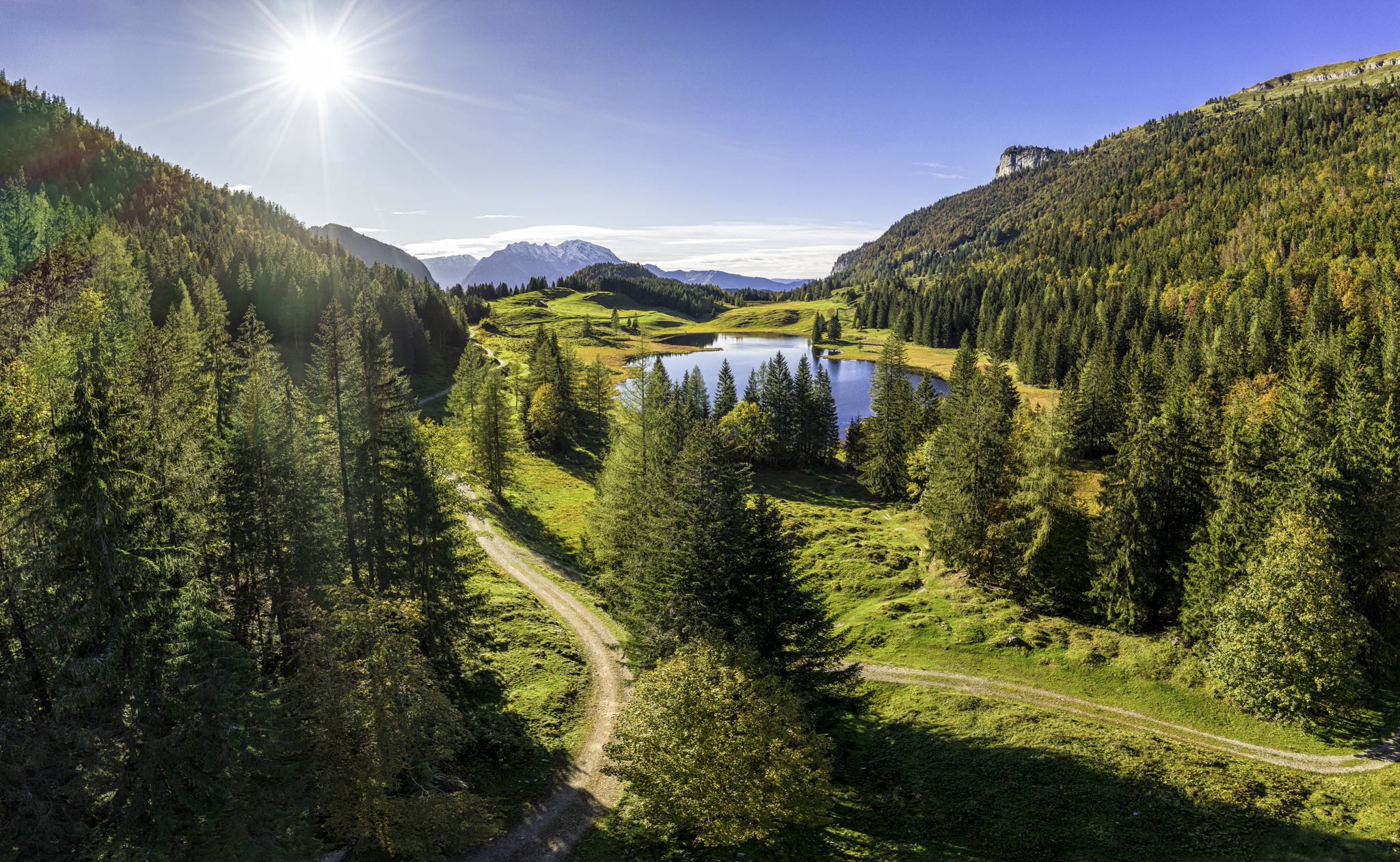
MTB to the most beautiful alpine pastures in Austria’s Tennengau
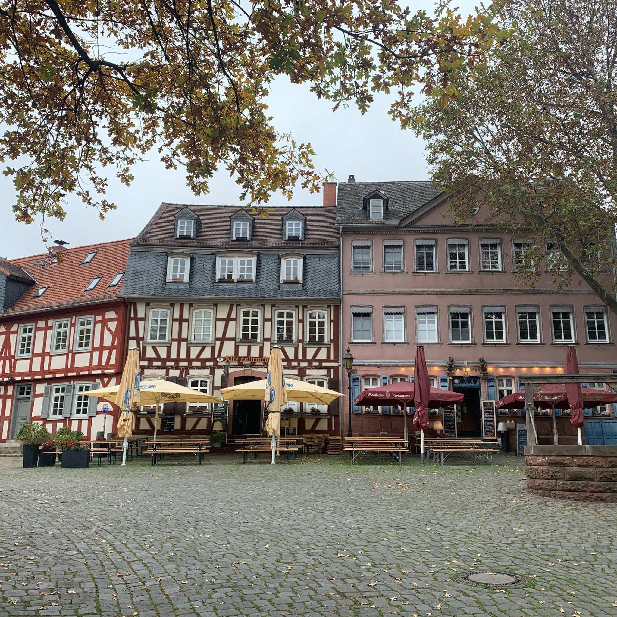
Gravel biking around Annaberg-Lungötz
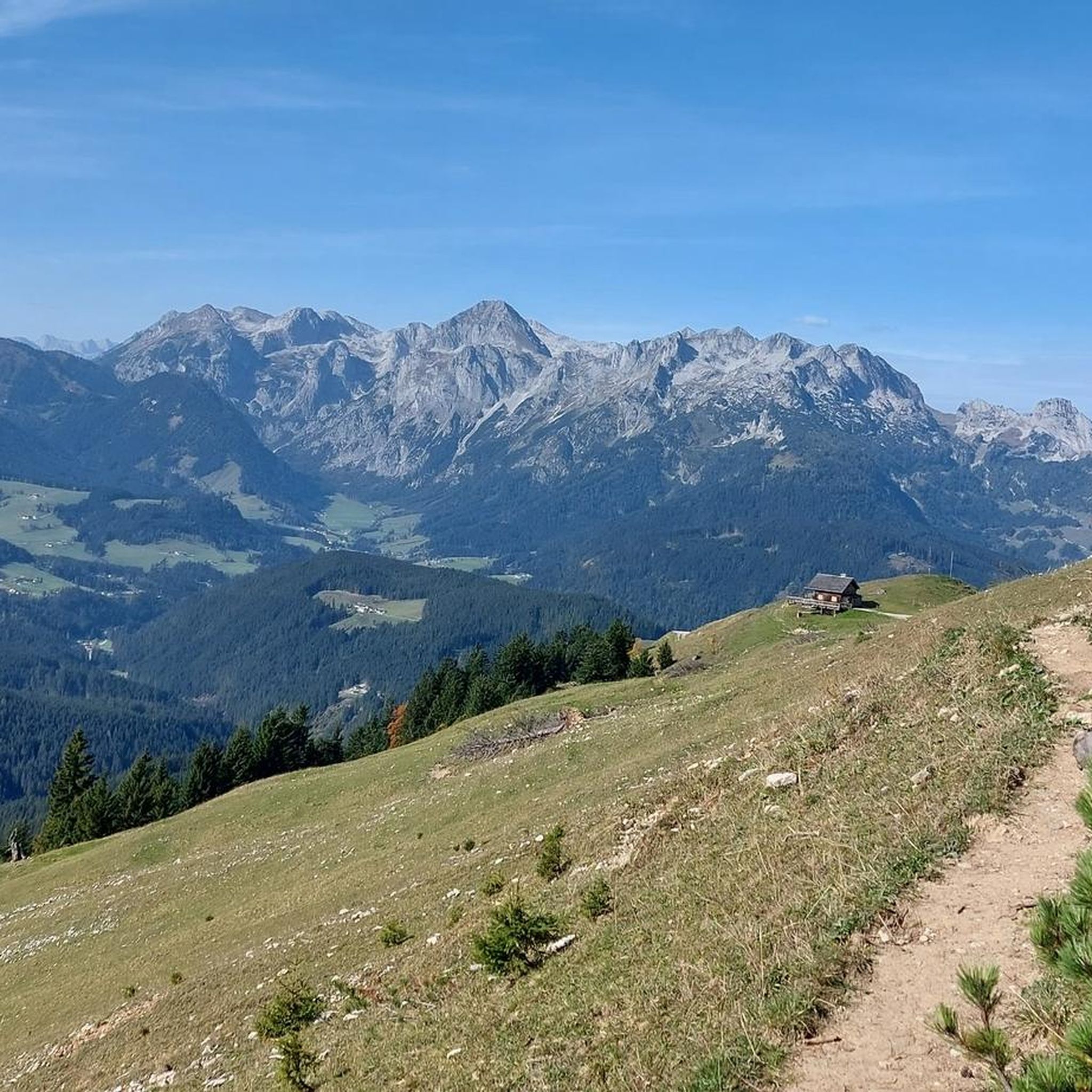
Hiking around Annaberg-Lungötz
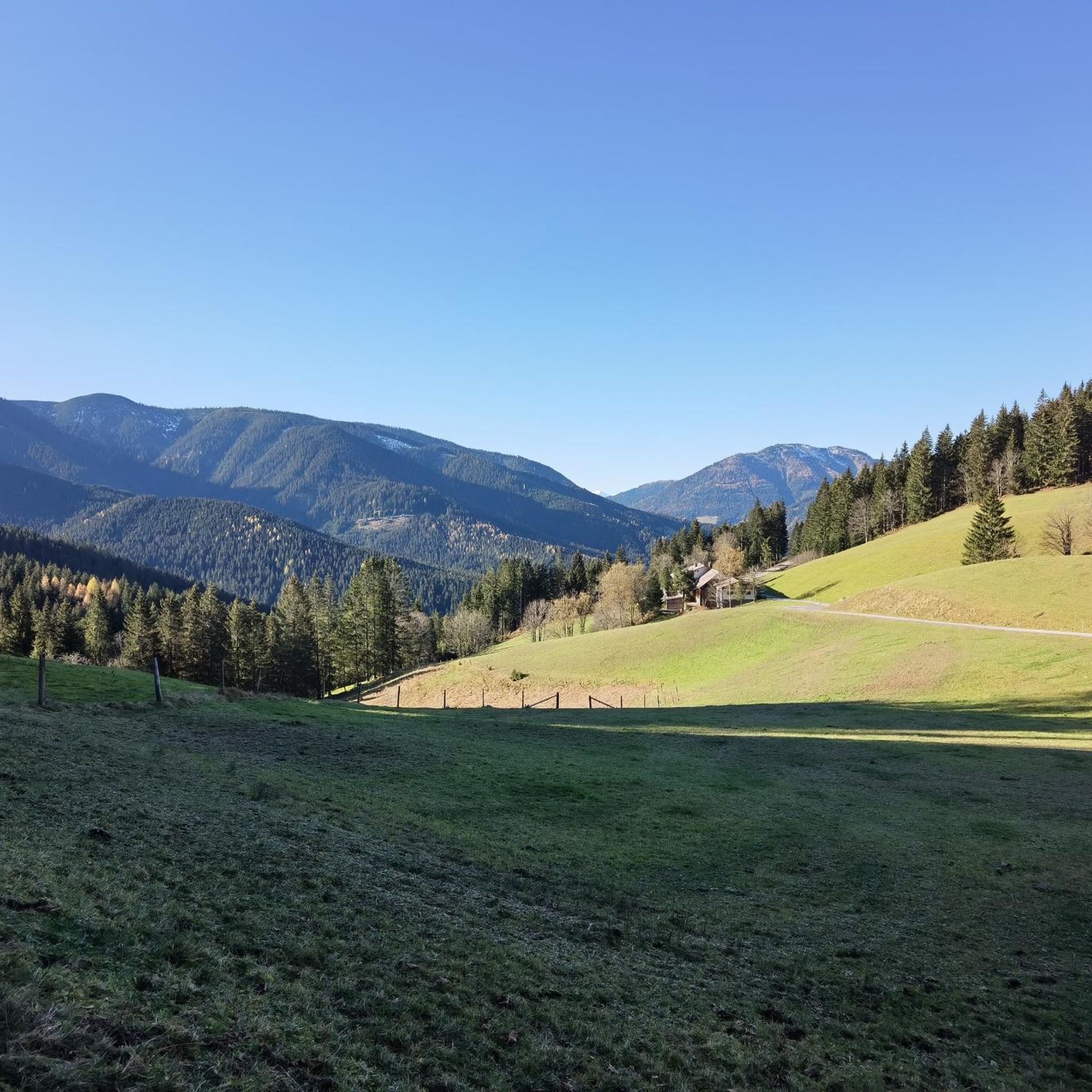
MTB Trails around Annaberg-Lungötz
Other adventures around Annaberg-Lungötz


Tips from the Community

beautiful, car-free city center of Bischofshofen. But beware for pedestrians, they have priority here
0
0

Lake Reiteck is a bathing lake and recreation area in the Reitdorf district of the Pongau municipality of Flachau.
0
0
Altenmarkt im Pongau, known for its beautiful town center, as a historic market town certainly has historic fountains (town fountains).
0
0
The village square in Eben im Pongau is the central heart of the village, where important facilities such as the pediatrician, as well as inns and shops are located, surrounded by the main road (B161), the adventure bathing lake and the surrounding hiking trails (Pöttlerpromenade).
0
0
Panoramic view from the room at Hotel Schwaiger in Eben im Pongau
0
0
Lake Reiteck is located in the district of Reitdorf in Flachau.
0
0

The Filialkirche Unser Liebe Frau (also known as Liebfrauenkirche or simply Frauenkirche) is a Catholic church in Bischofshofen, which was used as a "people's church" or parish church for the local population after the current parish church of St. Maximilian was temporarily used as a monastery church. Standing on a terrace just above the village, its origins can be traced back to the 10th/11th century.
0
0

Beautiful church with adjacent cemetery.
0
0
Frequently Asked Questions
How many road cycling routes are available in Annaberg-Lungötz?
Annaberg-Lungötz offers a diverse network of over 30 road cycling routes. These routes cater to various skill levels, with 4 easy, 21 moderate, and 5 difficult options to explore.
What kind of terrain can I expect on road cycling routes in Annaberg-Lungötz?
The region is characterized by varied terrain, ranging from flat routes winding through the picturesque Lammertal valley to demanding climbs over mountain passes within the Tennengebirge and Salzburg Dolomites. You'll encounter verdant meadows, river valleys, and elevated sections offering spectacular views.
What is the best time of year for road cycling in Annaberg-Lungötz?
Spring and autumn are generally considered the best seasons for road biking in Annaberg-Lungötz. During these times, you can expect pleasant temperatures and less congested roads, making for an ideal cycling experience.
Are there any family-friendly road cycling routes in Annaberg-Lungötz?
While many routes offer varied terrain, the Lammertal valley features sections that are suitable for families. The Lammertal Cycle Path, for example, is a well-maintained path offering magnificent views and passing through charming villages, which can be adapted for family outings.
Are there any circular road cycling routes in Annaberg-Lungötz?
Yes, many of the routes in Annaberg-Lungötz are designed as loops. For instance, the Radstadt Parish Church – Höch Castle loop from Sankt Martin am Tennengebirge is a popular circular route covering 51.8 km with moderate climbs. Another option is the Lammer Riverside Road – View of Lindenthal loop from Sankt Martin am Tennengebirge, offering views along the Lammer River.
What are some scenic viewpoints or landmarks I can see along the road cycling routes?
Annaberg-Lungötz offers numerous scenic spots. You can enjoy extensive panoramic views from the Rossbrand Summit. The pilgrimage church "Maria Alm" also provides breathtaking views over the Lammertal valley. Additionally, routes like the Lammer Riverside Road – View of Lindenthal loop offer continuous scenic views along the Lammer River.
What do other road cyclists enjoy most about road cycling in Annaberg-Lungötz?
The road cycling routes in Annaberg-Lungötz are highly rated by the komoot community, with an average score of 4.5 stars from over 130 reviews. Cyclists often praise the diverse terrain, from the serene Lammertal valley to the challenging mountain passes, and the stunning natural beauty of the Tennengebirge and Salzburg Dolomites.
Are there challenging climbs for advanced road cyclists in the region?
Absolutely. For experienced riders seeking a challenge, Annaberg-Lungötz offers demanding climbs over mountain passes. Routes like the one over Pass Gschütt cover approximately 15 kilometers with an average gradient of around 8 percent. The region is also a starting point for impressive multi-day tours such as the Dachstein Circular Trail, which includes significant climbs.
Are there any historical sites or castles near the cycling routes?
Yes, the region has several historical sites. You can find castles like Schloss Tandalier and the Lerchen Castle Museum. Additionally, historical sites such as Hexenturm Radstadt and the Southwest Tower of the Radstadt City Wall are also within reach.
Can I find places to stop for refreshments or rest during my ride?
Yes, the region is dotted with mountain huts and charming villages that offer opportunities for refreshments. Popular stops include the Hofpürgl Hut in the Dachstein massif and the Brandalm, an alpine hut at 1,600 meters. Routes passing through villages like Abtenau and St. Martin am Tennengebirge also provide amenities.
What is the average distance and elevation gain for road cycling routes in Annaberg-Lungötz?
The routes vary significantly. For example, the Radstadt Parish Church – Höch Castle loop is 51.8 km with about 585 meters of elevation gain. A more challenging route like the Lammer Riverside Road – View of Lammertal loop covers 50.2 km but features over 1140 meters of elevation gain, indicating the diverse range of distances and ascents available.
Most popular routes around Annaberg-Lungötz
Most popular attractions around Annaberg-Lungötz

Get inspired with the komoot mobile app


Explore more
Browse the best Road cycling routes in other regions.
