The best walks and hikes around Armendarits
4.5
(370)
2,672
hikers
72
hikes
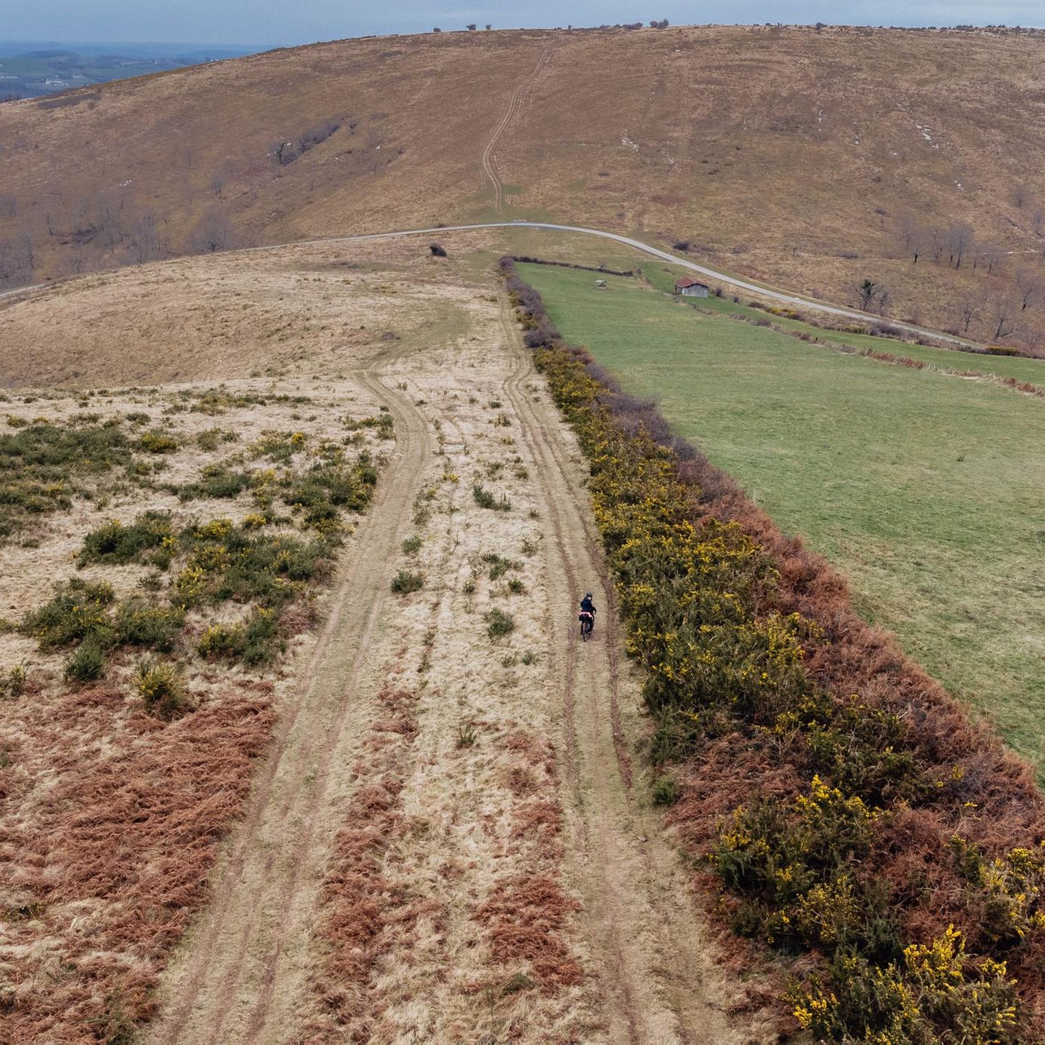
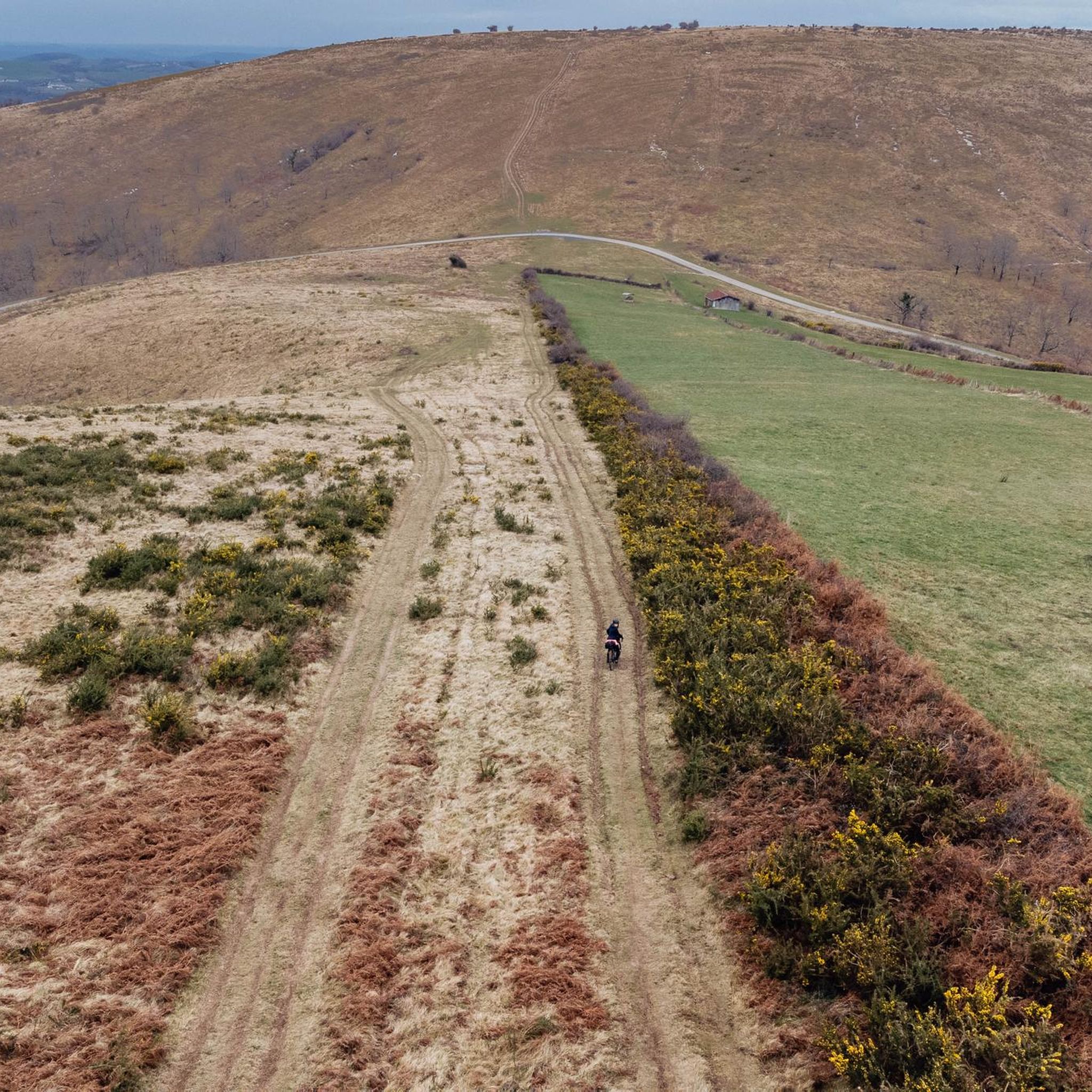
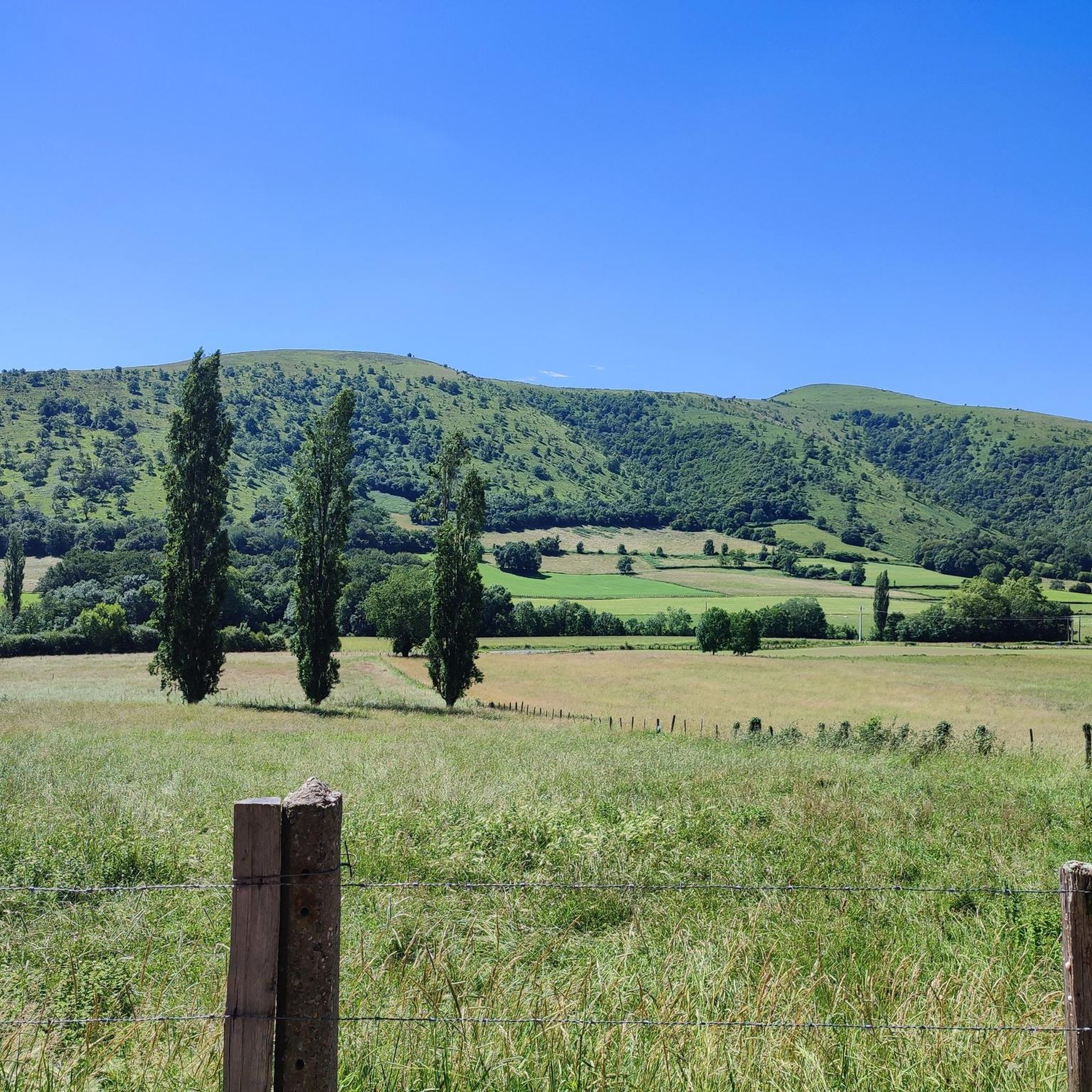
Hiking around Armendarits offers a diverse landscape characterized by rolling hills and varied elevations. The region features numerous trails that ascend to viewpoints, providing expansive vistas of the surrounding countryside. Hikers can expect a mix of open terrain and areas with natural landmarks, suitable for different levels of physical activity. The topography includes gentle slopes and more challenging ascents, reflecting the area's natural contours.
Best hiking trails around Armendarits
- The most popular hiking route is Commemorative Stele to Stepan –…
Last updated: July 4, 2026
4.3
(14)
101
hikers
5.66km
01:44
190m
190m
Easy hike. Great for any fitness level. Easily-accessible paths. Suitable for all skill levels.
5.0
(4)
39
hikers
12.5km
04:42
700m
700m
Moderate hike. Good fitness required. Mostly accessible paths. Sure-footedness required.

Sign up for free
4.7
(6)
61
hikers
12.7km
04:38
640m
640m
Moderate hike. Good fitness required. Mostly accessible paths. Sure-footedness required.
4.3
(4)
28
hikers
10.7km
03:28
460m
460m
Moderate hike. Good fitness required. Easily-accessible paths. Suitable for all skill levels.
9
hikers
16.2km
05:42
770m
770m
Hard hike. Very good fitness required. Mostly accessible paths. Sure-footedness required.
Get access to more routes and recommendations from other explorers.
Sign up for free
Already have an account?
Our route recommendations are based on thousands of hikes, rides, and runs completed by other people on komoot.
Start today with a free account
Your next adventure awaits.
Login or Signup
Tips from the Community

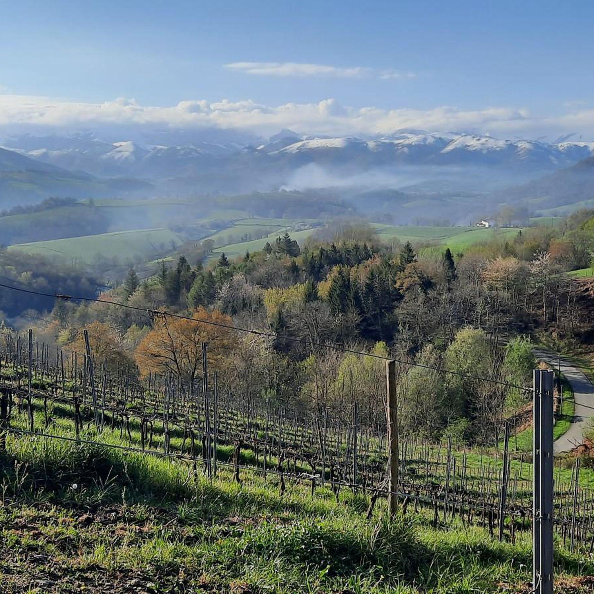
A summit that overlooks the Basque foothills and the Pyrenean peaks.
0
0

Route completed today, no problems along the entire route. Thank you.
1
0

You're talking about a trail I made in 2023. Some trails are more or less maintained. Go complain to the town hall if the path is no longer passable. I have several trails with complicated passages, I publish the trails anyway. If you're in sugar, don't follow my trails
2
0

This route is completely false and dangerous. You can go all the way to Baigura, but be careful, once you reach the top, follow the marked trail for the return journey. Above all, do not follow the loop from point 6; you'll find yourself in rocks and brambles, making it impossible to cross. Fortunately, I came across a farm with a farmer who took me back to the leisure center. It's a shame to publish such routes....
3
0

Avoid public holidays and vacation periods...
2
0

Picnic table for a lunch break
0
0
It is not uncommon to find paragliders flying very close to the trails. You will find photos on my track (Helette 1 +)
1
0

The Laina is located on a pretty ridge line at 869 meters above sea level. It is located between the Haltzamendi and the Baïgura.
2
0
Frequently Asked Questions
How many hiking trails are available around Armendarits?
There are over 60 hiking trails around Armendarits, offering a diverse range of experiences. These include options for various skill levels, from easy strolls to more challenging ascents.
Are there easy hiking options suitable for beginners in Armendarits?
Yes, Armendarits offers 17 easy hiking routes. A great option for beginners is the Commemorative Stele to Stepan – Beautiful view loop from Saint-Esteben, which is 3.5 miles (5.7 km) long and provides scenic views from the stele.
Are there challenging hikes for experienced trekkers in Armendarits?
Absolutely. For experienced hikers seeking a challenge, there are 10 difficult routes available. One such demanding trail is the Baïgura – Laina loop from Hélette, covering 15.9 miles (25.5 km) with significant elevation gain.
What kind of scenery can I expect on hikes around Armendarits?
Hiking around Armendarits is characterized by rolling hills and varied elevations. You can expect expansive vistas from numerous viewpoints, a mix of open terrain, and areas featuring natural landmarks. The topography includes both gentle slopes and more challenging ascents.
Are there circular hiking routes in Armendarits?
Many of the trails around Armendarits are designed as loops, allowing you to start and end at the same point. For example, the popular Below Erregelu – Rocher floral loop from Hélette is a moderate 7.1-mile (11.5 km) circular path.
What are some interesting landmarks or attractions to see while hiking?
While hiking around Armendarits, you can encounter several interesting landmarks. The Rocher floral is a notable natural feature, and the Gibraltar Stele offers historical significance. You might also pass through charming settlements like Ostabat or see religious sites such as the Chapelle de Soyarza.
What do other hikers enjoy most about the trails in Armendarits?
The trails in Armendarits are highly rated by the komoot community, with an average score of 4.5 stars from over 300 reviews. Hikers frequently praise the diverse landscape, the scenic viewpoints, and the variety of routes catering to different abilities.
Is Armendarits suitable for family-friendly hikes?
Yes, Armendarits offers several easy routes that are suitable for families. These trails often feature gentler terrain and shorter distances, making them enjoyable for all ages. Look for routes marked as 'easy' for the most family-friendly options.
What is the best time of year for hiking in Armendarits?
The spring and autumn months generally offer the most pleasant conditions for hiking in Armendarits, with mild temperatures and vibrant natural scenery. Summer can also be enjoyable, especially in the mornings or late afternoons, though some trails may be more exposed to the sun. Winter hiking is possible, but conditions can vary, and some paths might be muddy or slippery.
Are there any long-distance hiking options or multi-day treks?
While the guide focuses on day hikes, some of the longer difficult routes, such as the Baïgura – Rocher floral loop from Hélette (10.7 miles / 17.1 km), can be combined or extended for a more extensive experience. For multi-day treks, you would typically connect several routes or explore regional long-distance paths that pass through the area.
Is public transport available to access hiking trails in Armendarits?
Access to specific trailheads in Armendarits primarily relies on personal vehicles. While some regional bus services might connect larger towns, direct public transport to many rural starting points for hikes is limited. It's advisable to check local transport schedules if you plan to rely on public options.
Where can I find parking for hiking in Armendarits?
Most trailheads and popular starting points for hikes in Armendarits will have designated parking areas, often near villages or specific attractions. It's common to find parking available in or near the small towns from which many of the loop trails begin, such as Hélette or Iholdy.
Most popular attractions around Armendarits

Get inspired with the komoot mobile app


Explore more
Browse the best Hikes in other regions.
