Attractions and Places To See around Marcols-Les-Eaux - Top 20
Best attractions and places to see around Marcols-Les-Eaux include a variety of historical sites, natural features, and cultural heritage points. This commune in the Ardèche department of France is situated within a mountainous landscape carved by the Glueyre river, offering diverse natural environments. The area is known for its mineral water springs, former silk mills, and significant natural landmarks within the Parc Naturel Régional des Monts d'Ardèche. Visitors can explore remnants of ancient castles and enjoy panoramic views from various…
Last updated: July 2, 2026
Ray-Pic Waterfall
Highlight • Waterfall
Translated by Google •
Tip by

Montivernoux Climb
Highlight • Climb
Translated by Google •
Tip by

Sign up now to discover places like this
Get recommendations on the best single tracks, peaks, & plenty of other exciting outdoor places.
Sign up for free
Gluiras Village
Highlight • Settlement
Translated by Google •
Tip by

Col de Mézilhac (1,119 m)
Highlight • Mountain Pass
Translated by Google •
Tip by

Castles of Craux
Highlight • Castle
Translated by Google •
Tip by
Sign up for free to discover even more attractions around Marcols-Les-Eaux.
Sign up for free
Already have an account?
Start today with a free account
Your next adventure awaits.
Login or Signup
Tips from the Community

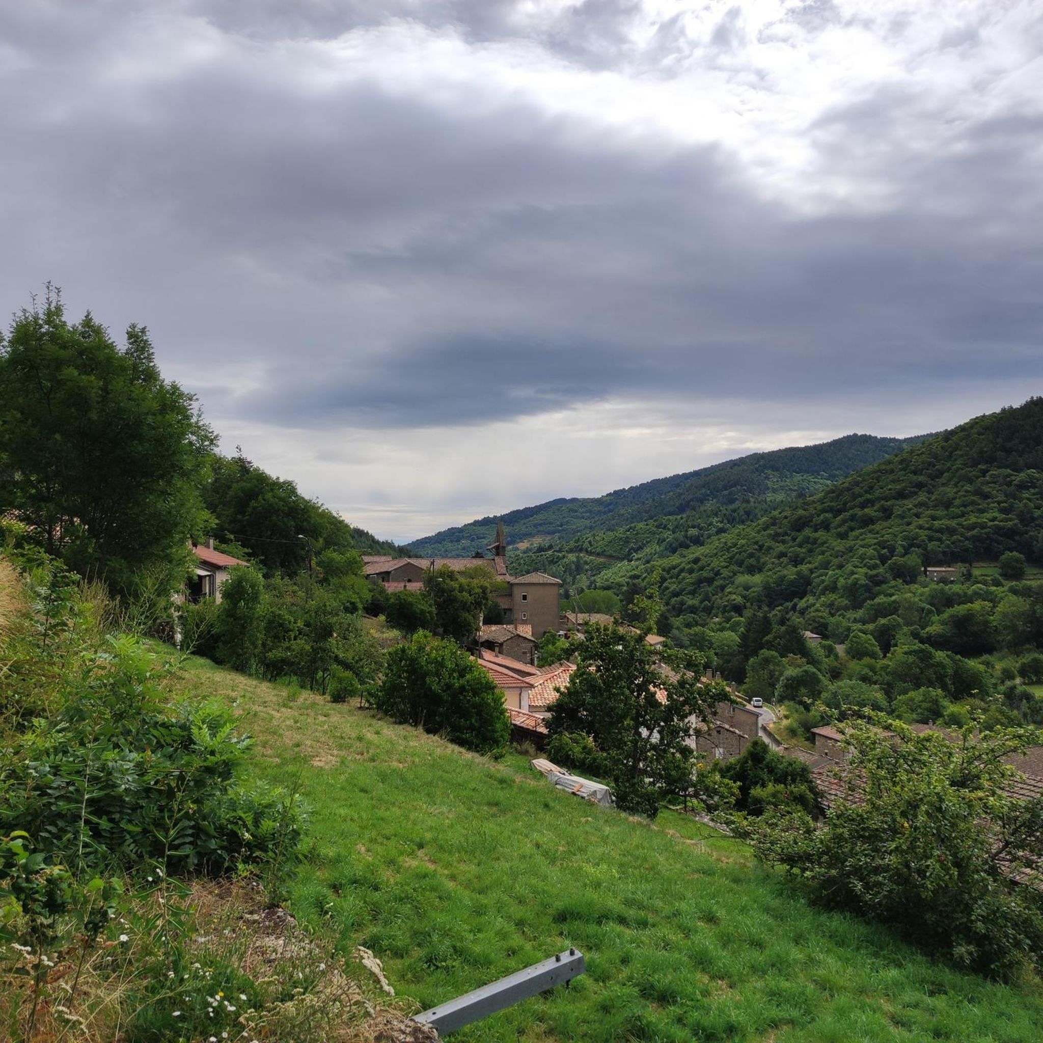
The church of Gluiras is a small, typically Ardèche country church, simple yet rich in detail. It features a bright nave with wooden pews, a vaulted choir dominated by a crucifix, and an altar surrounded by candlesticks. The wooden pulpit, polychrome statues, and paintings—including a Last Supper—recall the fervor of yesteryear. The Stations of the Cross adorn the walls, while chandeliers and candlesticks add a touch of solemnity. At the rear of the choir, the apse houses semicircular stalls, an intimate space where sung services were once held. It is a place that is both understated and welcoming, where the local religious history is evident in every detail.
1
0

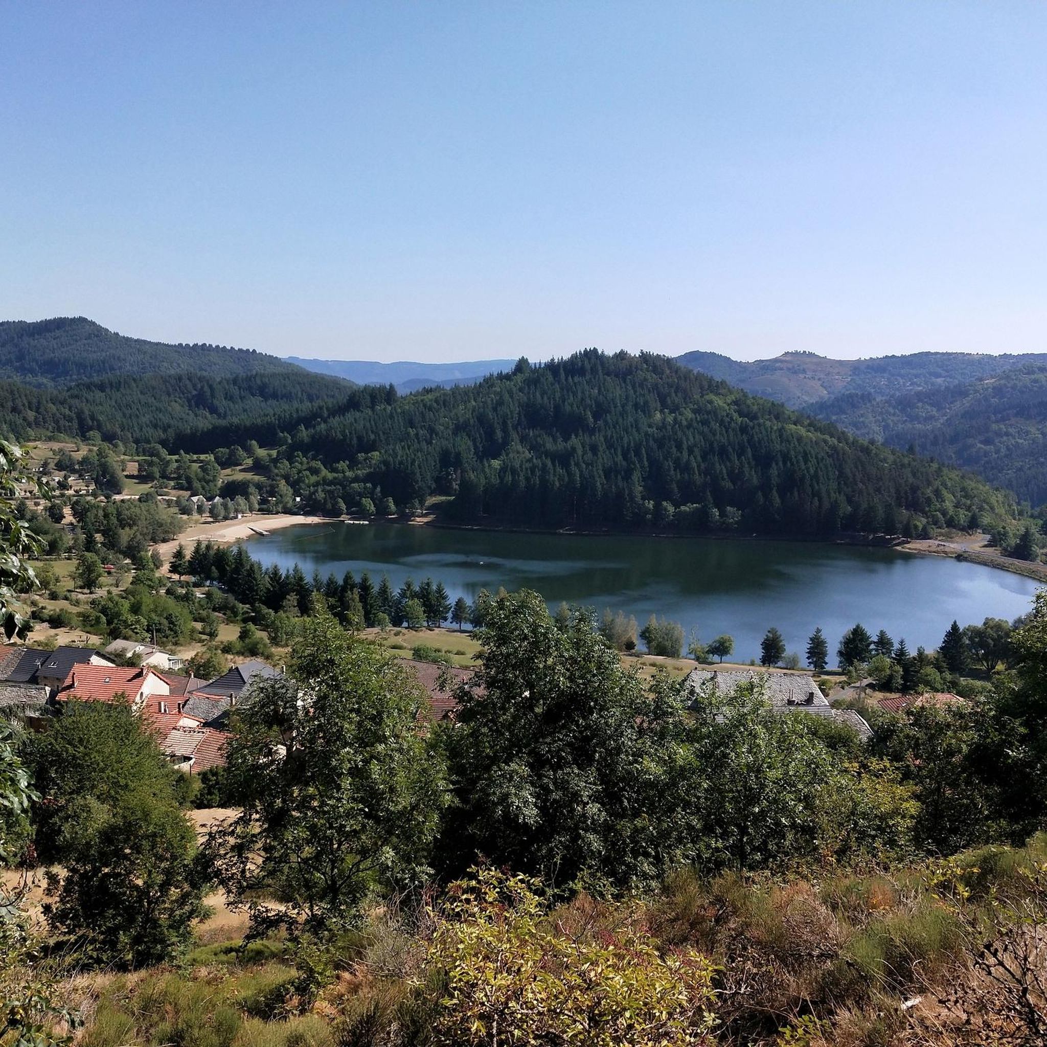
Anyone who wants to stop for a bite to eat should stop here. There are few alternatives. A Grand Café Creme and a generous sandwich for 8 euros.
1
1

Unfortunately, swimming is forbidden
2
0

The castle is located on the basalt field of the old volcano of Craux and dominates the valleys of Volane and Sandron. The castle was built in the 11th century as a hunting lodge. It was occupied for the last time in 1944 before being bought by the municipality in 1994 and restored.
6
0
The Ray-Pic waterfall is a natural waterfall and a natural volcanic site. The amazing rock formations of this 60-meter waterfall follow a lava flow that forms a cascade of basalt columns.
3
0

The Col de Mézilhac from Le Cheylard is a frequent ascent in the Ardéchoise, a cyclosportive in June. The climb is 22 km long with a total elevation gain of 700 m. The average gradient is 3.18% with maximum gradients of 7.5%.
2
0

Thousands of years ago, Ray-Pic was an active volcano. This volcano regularly spewed large lava flows, which bore through the surrounding landscape. Research has shown that these lava flows must have been among the longest lava flows in Europe. For example, some lava flows would have been more than twenty kilometers long. As a result of all the natural disasters, Cascade du Ray-Pic was created, as well as the surrounding landscape. Relatively early in history, this waterfall came to be known as one of the most beautiful sights in Ardèche. In 1931 Cascade du Ray-Pic and its surroundings were declared one of the most important natural sites in this region.
6
1

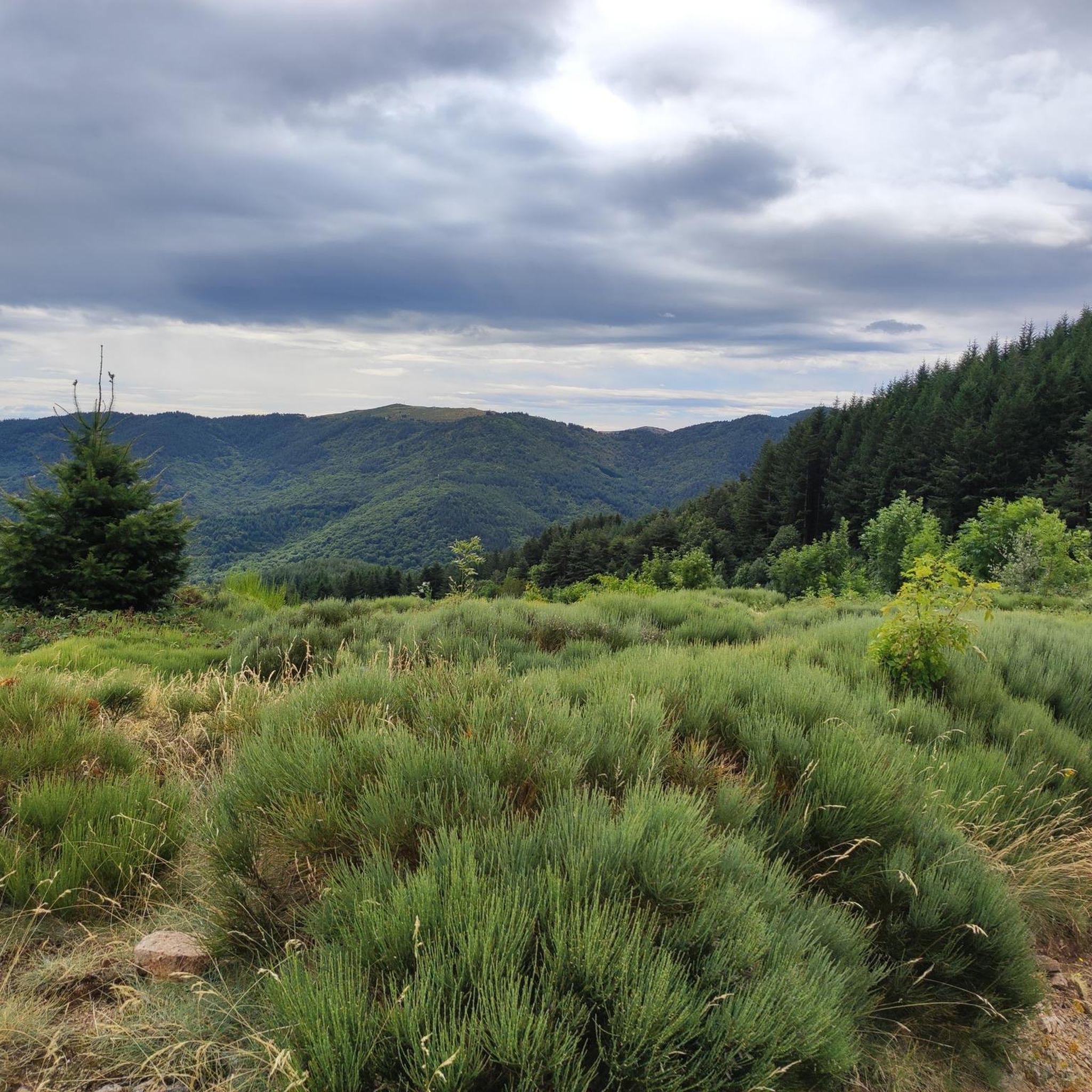
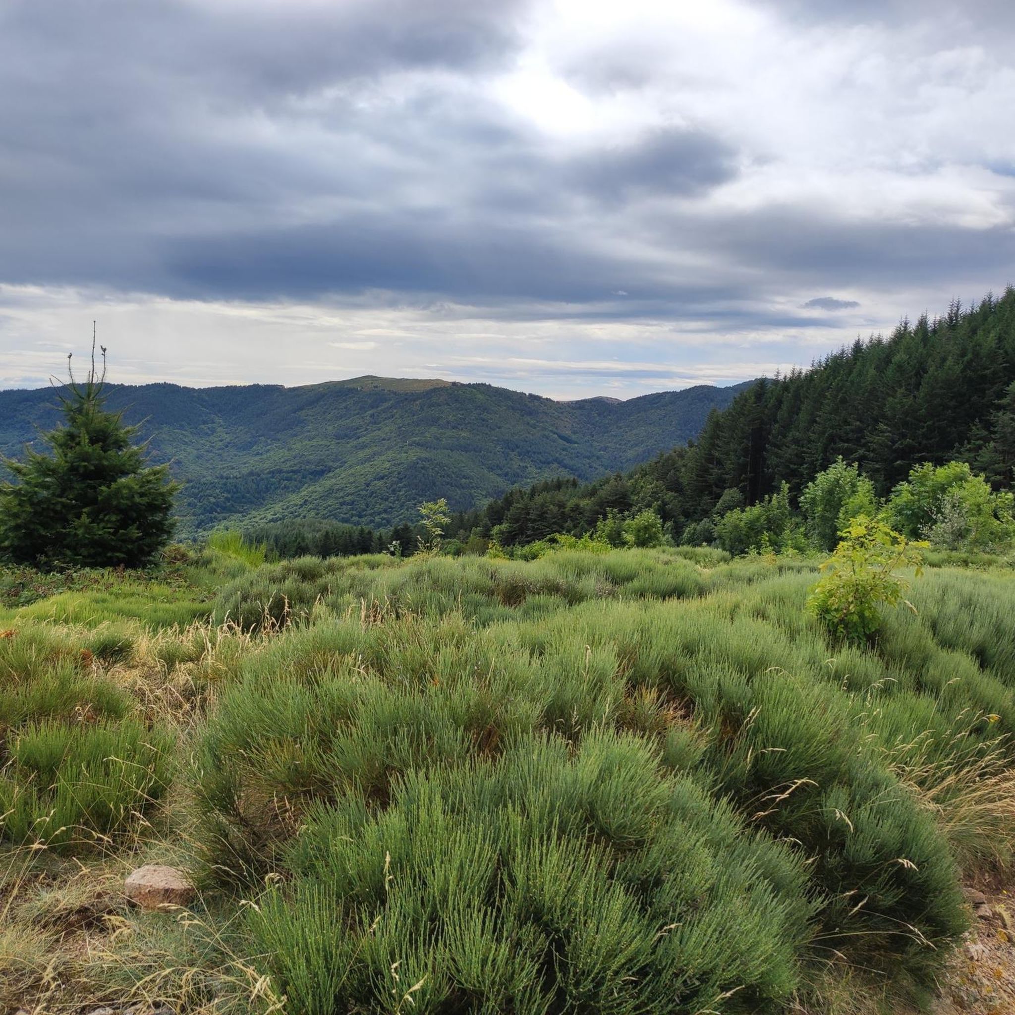
Away from traffic, here is a very nice climb of 15 km to reach Lachamp Raphaël, the highest village in the Ardèche. The ascent starts practically at the foot of the Col de Moucheyres shortly after having crossed the hamlet of Freyssenet then that of Mas coming from Labastide sur Besorgues. The road gradually rises in the chestnut trees then dominates the Besorgues. The average slope fluctuates between 5 and 6% on average then straightens up a little more after crossing the bridge that spans the Besorgues. We quickly gain height to dominate the Tanargue massif, the first rampart of the Cévennes. At the end, the profile softens noticeably as it enters the Bois de Cuze forest. The Suc de Montivernoux and its 3 crosses end up revealing themselves on the right, a sign that you are reaching the top while the panorama opens onto the Ardèche plateau from which emerges the elongated silhouette of Mont Mézenc.
1
1
Frequently Asked Questions
What natural features and viewpoints can I explore around Marcols-Les-Eaux?
The region boasts several impressive natural sites and panoramic viewpoints. Don't miss the stunning Ray-Pic Waterfall, a natural volcanic site with 60-meter falls over basaltic columns. For breathtaking views, head to the Montivernoux Climb, which leads to Lachamp Raphaël and offers panoramas of the Tanargue massif and the Ardèche plateau. The Rocher de Don and Champ de Mars also provide exceptional vistas of the Rhône Valley and the Alps on clear days.
Are there any historical or cultural sites to visit in Marcols-Les-Eaux?
Yes, Marcols-Les-Eaux is rich in history. You can delve into the region's industrial past at the Moulinage de la Neuve, a former silk mill from 1860, which offers guided tours by appointment. Explore the history of mineral waters at the Ecomuseum of Mineral Waters in La Gauchère, showcasing the area's 19th-century bottling industry. The village also features the 17th-century Church of Saint-Julien, built with stones from the former priory.
What kind of outdoor activities are available near Marcols-Les-Eaux?
The mountainous landscape of Marcols-Les-Eaux is perfect for outdoor enthusiasts. You can find numerous trails for hiking, cycling, and running. Popular hiking routes include the 'Col des Quatre Vios loop' and the 'Janvier Spring loop'. Cyclists can challenge themselves on ascents like the Col de Mézilhac (1,119 m), a frequent ascent in the Ardéchoise cycling event. For more detailed routes, check out the dedicated guides for hiking, cycling, and running trails around Marcols-Les-Eaux.
Are there any family-friendly attractions or activities in the area?
While specific 'family-friendly' labeled attractions aren't highlighted, the natural beauty of the region offers plenty for families. Exploring the Ray-Pic Waterfall can be an exciting outing. Gentle walks along the Glueyre river or through the chestnut groves within the Parc Naturel Régional des Monts d'Ardèche provide opportunities for children to enjoy nature. The Ecomuseum of Mineral Waters could also be an engaging educational visit for older children.
What is the best time of year to visit Marcols-Les-Eaux?
The best time to visit Marcols-Les-Eaux largely depends on your preferred activities. Spring and autumn offer pleasant temperatures for hiking and cycling, with vibrant foliage in autumn. Summer is ideal for enjoying the natural landscapes and outdoor activities, though it can be busier. The region is also part of the Parc Naturel Régional des Monts d'Ardèche, which offers diverse landscapes year-round.
Where can I find historical ruins or castles near Marcols-Les-Eaux?
History enthusiasts can explore several fascinating ruins and castles. The Ruins of the Fortified Castle of Don, perched at 1165 meters, offer panoramic views and a glimpse into its past as a Protestant stronghold. You can also visit the Castles of Craux, an 11th-century hunting lodge located on a basalt field. Additionally, the area features the Ruins of the Priory, remnants of the ancient church of St-Julien d'Orsival, and the 16th-century Château de Chabriol.
Are there any unique or 'hidden gem' spots to discover?
Beyond the well-known attractions, the region holds some unique spots. The hamlet of Mauras features an old mill and vernacular houses along the Glueyre river, offering a glimpse into traditional life. The Espace Naturel Sensible des Serres Boutiérots, recognized for its natural richness, includes ancient beech forests and preserved waterways, perfect for those seeking tranquility away from the main paths. The geological curiosity of a consistently water-filled well at the summit of a former volcano is also a local marvel.
What are the options for cycling in the Marcols-Les-Eaux area?
Cycling is a popular activity, with routes catering to various levels. The Col de Mézilhac (1,119 m) is a challenging and scenic climb frequently featured in the Ardéchoise cycling event. The Montivernoux Climb also offers a beautiful 15 km ascent. For a comprehensive list of routes, including difficult loops like 'Col de la Fayolle – Privas' and 'The Bourges River – Col de la Croix de Bauzon', refer to the cycling guide for the area.
Can I find places to eat or stay in Marcols-Les-Eaux?
While Marcols-Les-Eaux is a small commune, the surrounding area offers amenities. The Col de Mézilhac (1,119 m) is noted as a good spot to stop for a bite to eat, with a café offering sandwiches and drinks. For accommodation and more dining options, you would typically look to slightly larger villages or towns within the Parc Naturel Régional des Monts d'Ardèche.
Are there any dog-friendly walks or areas around Marcols-Les-Eaux?
Many of the natural trails and outdoor areas within the Parc Naturel Régional des Monts d'Ardèche are generally dog-friendly, provided dogs are kept on a leash and owners clean up after them. The numerous hiking loops, such as the 'Col des Quatre Vios loop' or the 'Janvier Spring loop', offer excellent opportunities for walks with your dog. Always check local signage for specific restrictions in certain protected areas.
What is the significance of the Glueyre Valley in Marcols-Les-Eaux?
Marcols-Les-Eaux is situated within the picturesque Glueyre Valley, a mountainous landscape carved by the Glueyre river and its tributaries. This valley is central to the commune's geography, with altitudes ranging from 700 to 1340 meters. It has historically been a site of industrial activity, such as the Moulinage de la Neuve silk mill, and offers beautiful natural scenery for exploration.
Most popular routes around Marcols-Les-Eaux
Most popular attractions around Marcols-Les-Eaux

Get inspired with the komoot mobile app


Explore more
Still not found the Highlight you’re looking for? See guides of the top attractions in other regions:
