The best road cycling routes around Besse
4.2
(23)
514
riders
39
rides
Road cycling routes around Besse-et-Saint-Anastaise traverse the volcanic landscapes of France's Massif Central, within the Parc naturel régional des volcans d'Auvergne. The region features varied topography, including ancient volcanoes, several lakes, and challenging climbs. Cyclists encounter a mix of strombolian, peléan, and maar volcanoes, providing diverse terrain for exploration.
Best road cycling routes around Besse
- The most popular road cycling route is Col de Saint-Georges (954 m) loop from L'Hopital, a 27.6 miles (44.4 km) trail that takes 2…
Last updated: June 29, 2026
4.8
(5)
47
riders
44.4km
02:23
740m
740m
Moderate road ride. Good fitness required. Mostly well-paved surfaces and easy to ride.
28
riders
50.2km
02:29
790m
790m
Moderate road ride. Good fitness required. Mostly well-paved surfaces and easy to ride.

Sign up for free
23
riders
53.3km
02:51
1,030m
1,030m
Hard road ride. Very good fitness required. Mostly well-paved surfaces and easy to ride.
28
riders
49.7km
02:44
1,030m
1,030m
Hard road ride. Very good fitness required. Mostly well-paved surfaces and easy to ride.
12
riders
48.6km
02:19
590m
590m
Moderate road ride. Good fitness required. Mostly well-paved surfaces and easy to ride.
Get access to more routes and recommendations from other explorers.
Sign up for free
Already have an account?
Our route recommendations are based on thousands of hikes, rides, and runs completed by other people on komoot.
Start today with a free account
Your next adventure awaits.
Login or Signup
Popular around Besse
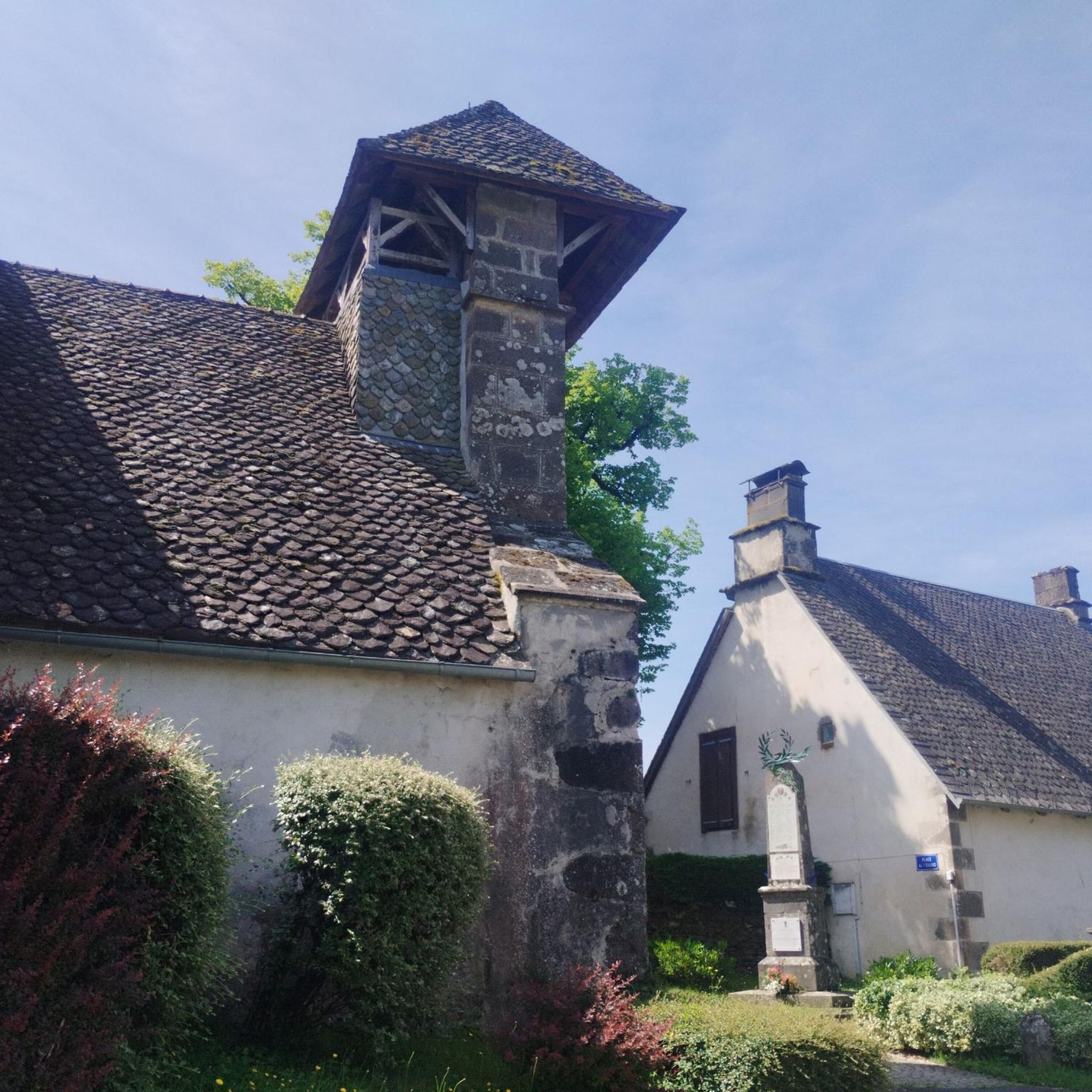


Tips from the Community

Either stressful or relaxed from Puy Mary.
0
0
Great scenery, beautiful road, beautiful views. Perfect for a downhill ride.
0
0

Picturesque like Collonges la Rouge, Rocamadour or Locronan
0
0

Rain, visibility 1m, but otherwise great
0
0
Quickly move through the landscape on the balcony.
1
0

Salers is a municipality in the Cantal department in the Auvergne-Rhône-Alpes region. The town is a completely preserved small town from the Renaissance period, with private and public buildings, city walls, defensive towers and a church. It was included in the association of the most beautiful villages in France. Despite its small population of around 300 inhabitants, the town is a historical, cultural and agricultural center in the sparsely populated mountain region of the Monts du Cantal. Source: https://de.wikipedia.org/wiki/Salers
3
0

From Salers, a pass with low percentages but with a magnificent view of the Santoire valley.
0
0
Frequently Asked Questions
How many road cycling routes are available around Besse?
There are over 40 road cycling routes around Besse-et-Saint-Anastaise, offering a diverse range of experiences. These routes are highly rated by the komoot community, with an average score of 4.1 stars from over 20 reviews.
What kind of landscapes can I expect to see while road cycling around Besse?
Road cycling around Besse-et-Saint-Anastaise offers stunning volcanic landscapes within the Parc naturel régional des volcans d'Auvergne. You'll encounter ancient volcanoes, picturesque lakes like Lac Pavin and Lac Chauvet, and varied topography, including challenging climbs and scenic loops.
Are there challenging climbs for experienced road cyclists in the Besse area?
Yes, the region is known for its challenging climbs. For instance, the ascent to Super Besse is a notable climb, featuring an average gradient of 6.4% over 1.5 miles, with some sections reaching 11.1%. Many routes, such as the Col de Saint-Georges (954 m) – Col de Légal loop from Saint-Martin-Valmeroux, also include significant elevation gains, making them suitable for advanced riders.
Are there any notable landmarks or attractions along the cycling routes?
Absolutely. Many routes feature the beautiful volcanic lakes, such as Lac Pavin and Lac Chauvet, which are central to scenic loops. The historic village of Besse-et-Saint-Anastaise itself, with its medieval architecture and belfry, provides a charming backdrop. The resort of Super Besse, located on the slopes of Puy de Sancy, is also a prominent feature on several routes.
What is the general difficulty level of road cycling routes in Besse?
The road cycling routes around Besse cater to moderate to difficult ability levels. Out of over 40 routes, 24 are classified as moderate and 18 as difficult, ensuring a good challenge for most road cyclists. There are no easy routes listed, indicating a focus on more active and experienced riders.
Are there circular road cycling routes available around Besse?
Yes, many of the road cycling routes in the Besse area are designed as loops, allowing you to start and finish in the same location. Examples include the Col de Saint-Georges (954 m) loop from L'Hopital and the Neronne Pass – Route du Puy Mary loop from Loupiac, which offer varied terrain and scenic views.
What is the best time of year for road cycling in Besse?
The warmer months are generally the best time for road cycling in Besse-et-Saint-Anastaise. While the region is a winter sports hub, the roads are clear of snow and ice in spring, summer, and autumn, providing ideal conditions to explore the volcanic landscapes and challenging climbs.
Are there family-friendly road cycling options around Besse?
While there are no routes specifically classified as 'easy' in our current selection, active families with some cycling experience may find the moderate routes enjoyable. These routes typically involve significant elevation gains, so a good level of fitness is recommended. Always check the route details for distance and elevation before heading out.
Where can I find parking for road cycling routes in Besse?
You can typically find parking in the village of Besse-et-Saint-Anastaise itself, which serves as a common starting point for many routes. Additionally, areas around Super Besse and other smaller villages that serve as route origins often have designated parking facilities for visitors.
Are there cafes or restaurants along the road cycling routes in Besse?
The historic village of Besse-et-Saint-Anastaise offers various cafes and restaurants where you can refuel. Many routes pass through or near other small towns and villages in the region, providing opportunities for refreshment stops. It's always a good idea to check opening times, especially in smaller, more remote locations.
Can I bring my dog on road cycling routes in the Auvergne Volcanoes Regional Natural Park?
When road cycling on paved roads within the Auvergne Volcanoes Regional Natural Park, dogs are generally permitted, provided they are kept under control, ideally on a leash, and that you clean up after them. However, specific rules might apply to certain natural sites or protected areas, so it's always best to check local signage.
How long do road cycling routes around Besse typically take to complete?
The duration of road cycling routes around Besse varies significantly based on distance, elevation, and your pace. Moderate routes, such as the Stone Archway and Balcony loop from Saint-Martin-Valmeroux (48.6 km with 595 m elevation), can take around 2 hours 20 minutes. More challenging routes, like the Roadbike loop from Saint-Martin-Valmeroux (28.9 km with 495 m elevation), might take closer to 1 hour 35 minutes, depending on the specific climb profiles.

Get inspired with the komoot mobile app


Explore more
Browse the best Road cycling routes in other regions.
