The best walks and hikes around Laroque-Timbaut
4.6
(198)
1,135
hikers
99
hikes
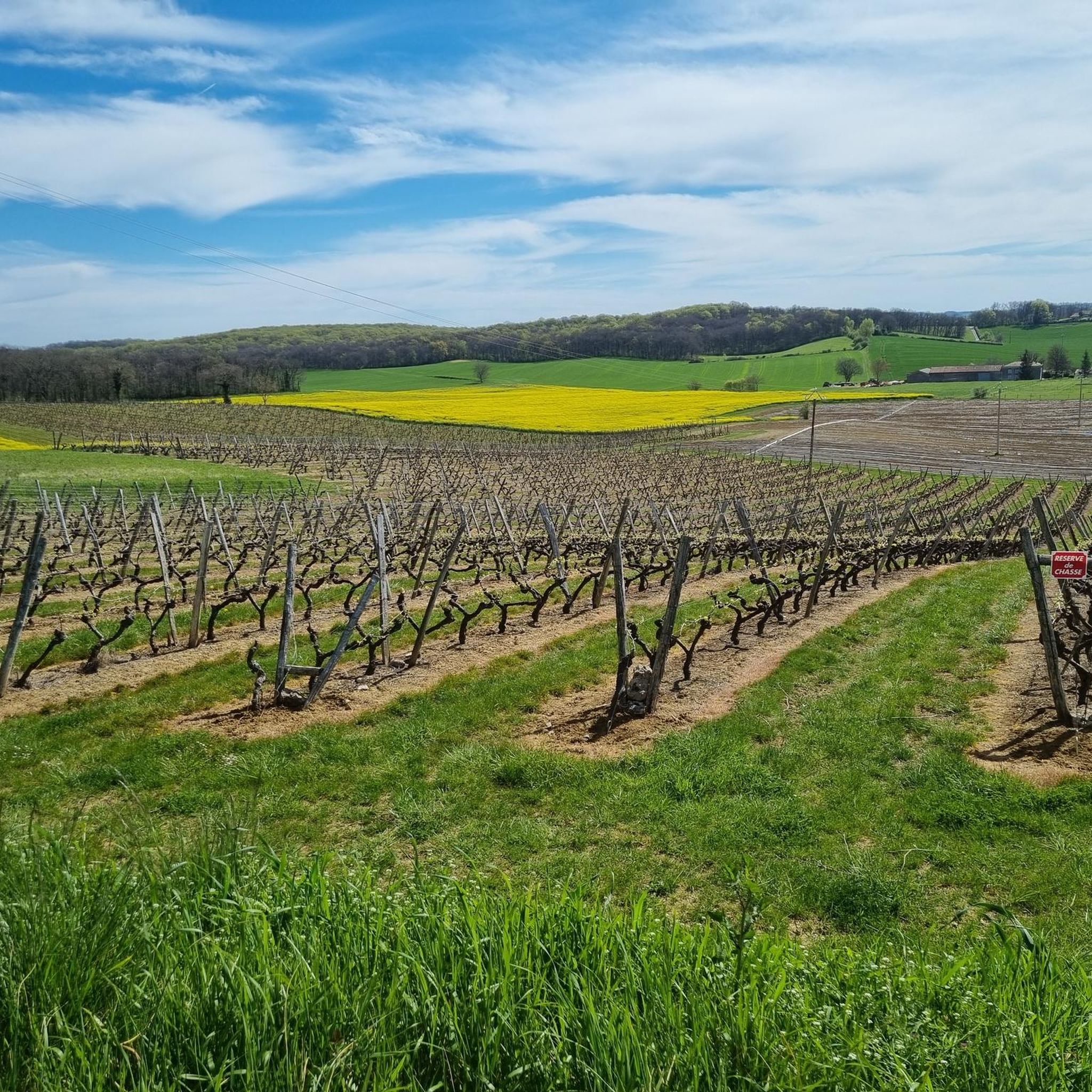
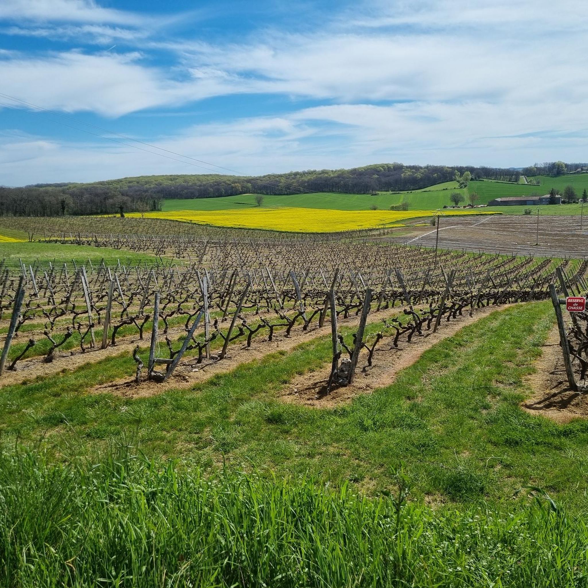
Hiking around Laroque-Timbaut offers diverse landscapes within the "Pays de Serres," at the junction of the Agenais and Lot Valley regions. The terrain features wooded natural sites, streams, and natural springs, contributing to varied hiking experiences. The area is characterized by tree-filled valleys and a rural setting, providing a network of paths for exploration.
Best hiking trails around Laroque-Timbaut
- The most popular hiking route is Bois de Courtis loop from Sauvagnas, a 8.3 miles (13.3 km) trail that takes…
Last updated: June 25, 2026
4.7
(3)
19
hikers
13.5km
03:40
190m
180m
Moderate hike. Good fitness required. Easily-accessible paths. Suitable for all skill levels.
5.0
(1)
15
hikers
12.3km
03:18
140m
140m
Moderate hike. Good fitness required. Easily-accessible paths. Suitable for all skill levels.

Sign up for free
5.0
(2)
8
hikers
8.66km
02:23
140m
140m
Moderate hike. Good fitness required. Easily-accessible paths. Suitable for all skill levels.
4.7
(3)
15
hikers
7.92km
02:09
120m
120m
Moderate hike. Good fitness required. Easily-accessible paths. Suitable for all skill levels.
4.0
(2)
5
hikers
5.35km
01:31
110m
110m
Easy hike. Great for any fitness level. Easily-accessible paths. Suitable for all skill levels.
Get access to more routes and recommendations from other explorers.
Sign up for free
Already have an account?
Our route recommendations are based on thousands of hikes, rides, and runs completed by other people on komoot.
Start today with a free account
Your next adventure awaits.
Login or Signup


Frequently Asked Questions
How many hiking trails are available around Laroque-Timbaut?
There are over 100 hiking routes around Laroque-Timbaut listed on komoot, offering a wide range of options for all skill levels. This includes 35 easy, 59 moderate, and 6 difficult trails.
Are there any easy, family-friendly hiking trails in the area?
Yes, Laroque-Timbaut offers several easy trails suitable for families. An example is the Hiking loop from Sauvagnas, which is 5.3 km long and classified as easy. Another notable easy circuit is "Laroque-Timbaut, sur les pas de Roland," which connects local churches and is steeped in local legend.
What kind of natural features can I expect to see on hikes around Laroque-Timbaut?
The region is rich in natural beauty. You'll encounter wooded valleys, charming streams, and natural springs, particularly in the Vallon Saint-Germain. The area also features the 1-hectare Lac de Laroque-Timbaut, perfect for a peaceful stop. For a unique natural attraction, the Grottes de Fontirou are just 7 km away.
Are there any circular hiking routes in Laroque-Timbaut?
Yes, many of the trails around Laroque-Timbaut are circular. Popular options include the Bois de Courtis loop from Sauvagnas, the Château de Cauzac loop from Cauzac, and the Lac de Bajamont loop from Bajamont, all designed for convenient round trips.
What are some interesting landmarks or places to explore near the hiking trails?
Beyond the trails, you can explore the medieval village of Pujols, considered one of the most beautiful in Lot-et-Garonne. The Château de Beauville and viewpoint, a 13th-century fortified castle, is also about 10 km away, offering historical interest and scenic views. The village of Laroque-Timbaut itself provides fabulous views over the surrounding valleys.
What do other hikers say about the trails in Laroque-Timbaut?
The hiking routes in Laroque-Timbaut are highly rated by the komoot community, with an average score of 4.5 stars from over 180 reviews. Hikers often praise the diverse landscapes, the authentic rural charm, and the well-maintained paths that offer a serene outdoor experience.
Is there parking available at the trailheads in Laroque-Timbaut?
While specific parking details for every trailhead vary, Laroque-Timbaut and its surrounding villages typically offer public parking areas. It's advisable to check local signage upon arrival or consult specific route descriptions for the most convenient parking spots.
What is the best time of year to go hiking in Laroque-Timbaut?
Laroque-Timbaut offers pleasant hiking conditions for much of the year. Spring and autumn provide mild temperatures and beautiful scenery, ideal for longer walks. Summer can be warm, but the numerous wooded areas and natural springs offer shaded relief. The region's rural charm is present in all seasons.
Are there any trails that pass by a lake or offer water views?
Yes, the Lac de Bajamont loop from Bajamont is a 7.8 km trail that leads through woodlands and directly past the Lac de Bajamont, offering scenic water views and a peaceful atmosphere.
Can I reach the trailheads using public transport?
Laroque-Timbaut is a rural area, and public transport options directly to all trailheads might be limited. It's generally recommended to travel by car to access the starting points of many hikes. However, local bus services might connect to the main village, from where some trails could be accessible.
Are there any historical sites or legends associated with the hiking trails?
Yes, the "Laroque-Timbaut, sur les pas de Roland" circuit is steeped in local legend. It's said that the water from the Saint-Germain spring, which you can find in the Vallon Saint-Germain, cured Charlemagne's army in 778. This trail offers a blend of natural beauty and historical folklore.
What is the terrain like for hiking in Laroque-Timbaut?
The terrain around Laroque-Timbaut is diverse, featuring wooded valleys, gentle hills, and rural paths. You'll find a mix of forest tracks, agricultural land, and paths alongside streams. The difficulty ranges from easy strolls to more challenging routes with moderate elevation changes.
Most popular attractions around Laroque-Timbaut

Get inspired with the komoot mobile app


Explore more
Browse the best Hikes in other regions.
