The best walks and hikes around Lavoine
4.4
(111)
656
hikers
27
hikes
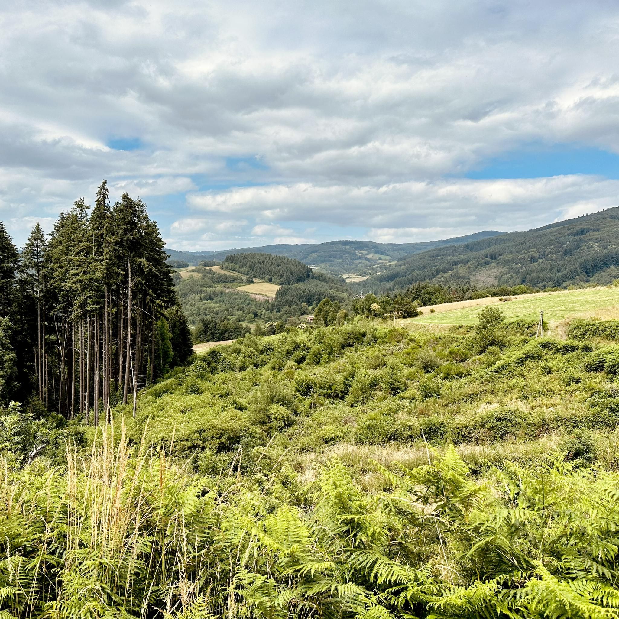
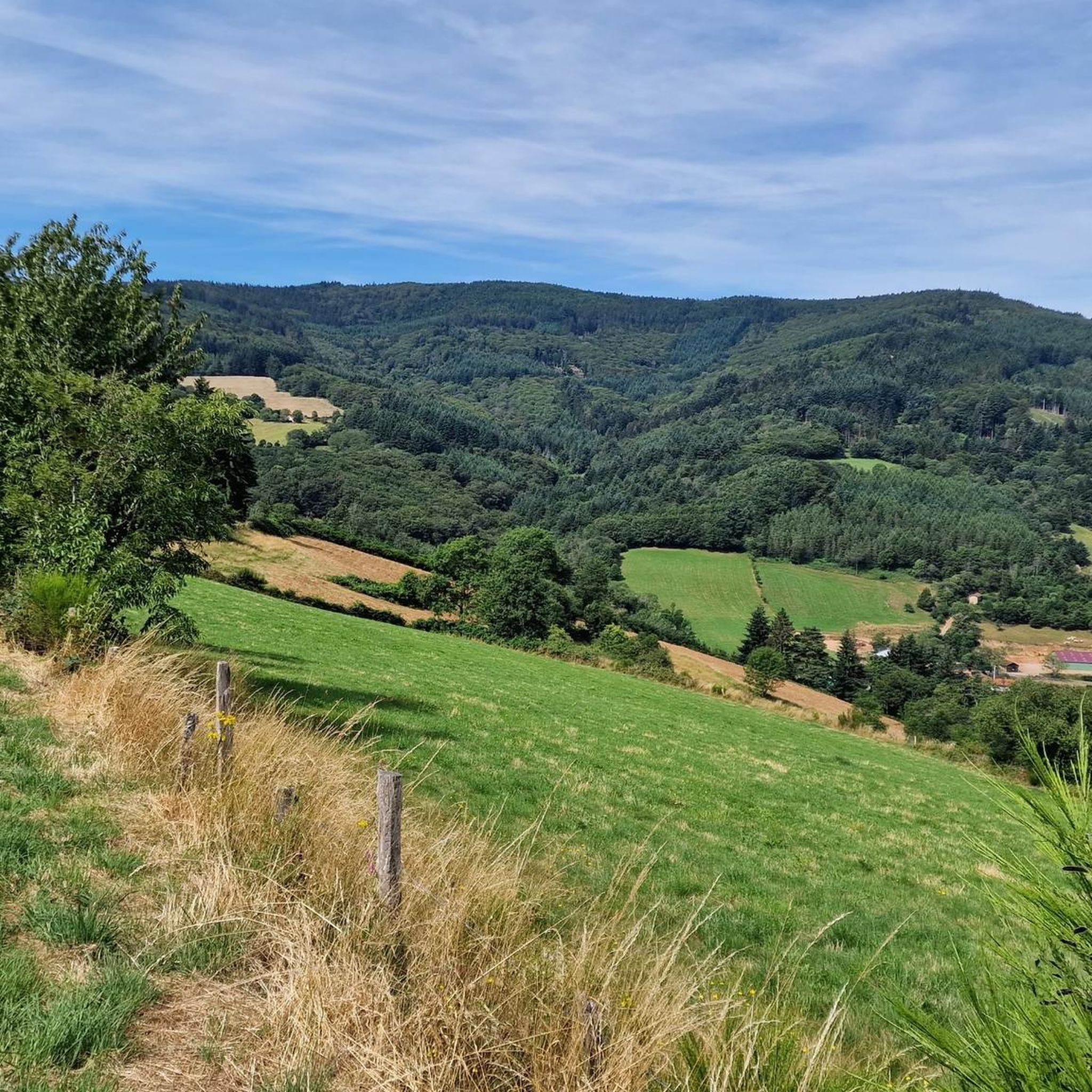
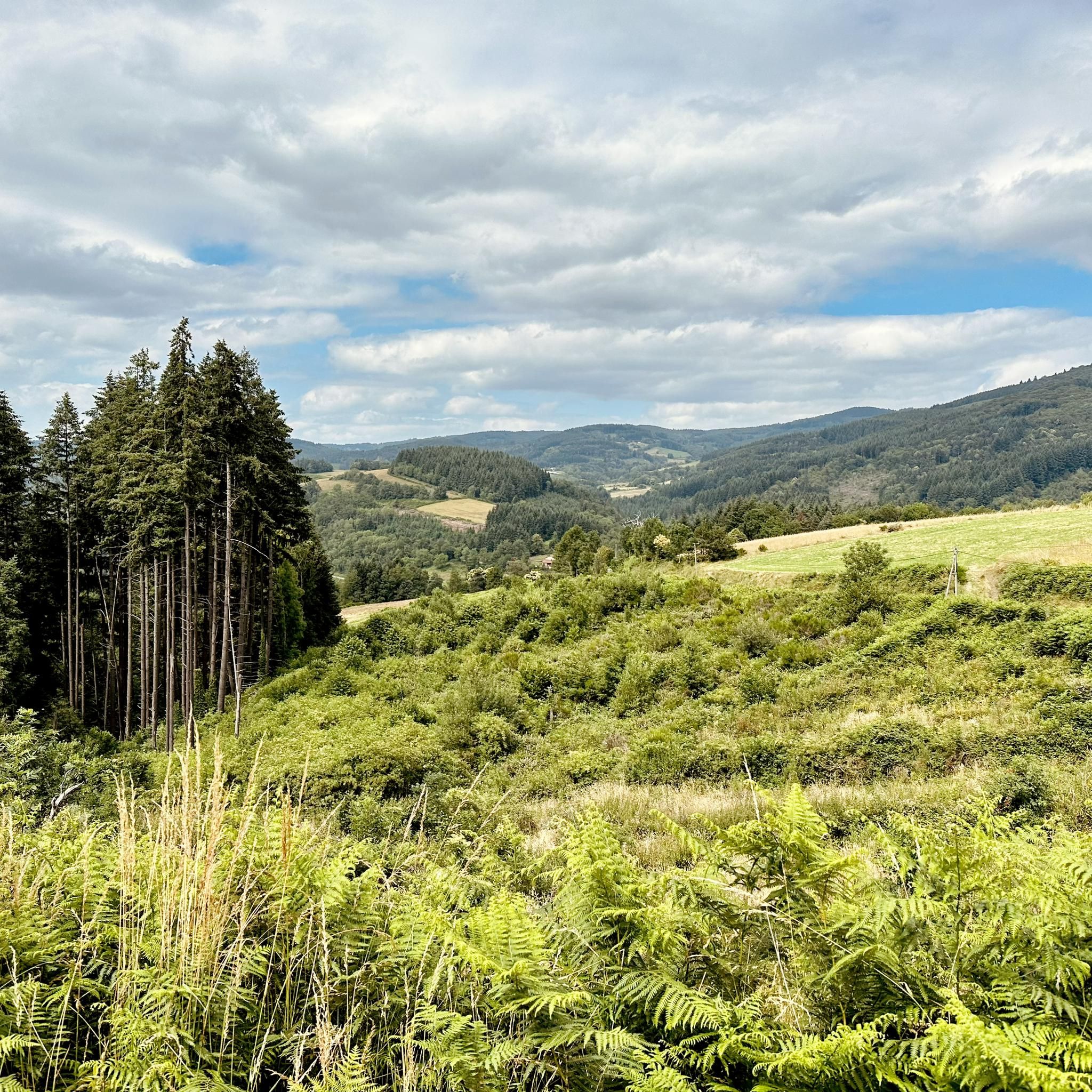
Hiking around Lavoine offers diverse trails through the scenic landscapes of the Auvergne-Rhône-Alpes region. The area is characterized by rolling hills, dense forests, and open countryside, providing varied terrain for outdoor activities. Hikers can explore routes that feature elevated viewpoints and tranquil woodland paths. The natural environment around Lavoine supports a range of hiking experiences for different skill levels.
Best hiking trails around Lavoine
- The most popular hiking route is Rocher Saint-Vincent Loop, a 5.1 miles (8.2 km) moderate trail that takes 2 hours 23 minutes to complete, offering views from Rocher Saint-Vincent.
- Another top favourite among local hikers is Saint-Vincent Rock – View of the Wind Turbines loop from Lavoine, an easy 2.9 miles (4.7 km) path. This route provides open views of the surrounding landscape, including wind turbines.
- Local hikers also love the Puy de Montoncel – Puy de Montoncel loop from Lavoine, a 6.6 miles (10.6 km) trail leading through forested hills, often completed in about 3 hours 11 minutes.
- Hiking around Lavoine is defined by forested hills, open countryside, and elevated viewpoints. The network offers options for different ability levels, from easy family-friendly walks to more challenging moderate trails.
- The routes in Lavoine are highly rated by the komoot community with an average score of 4.4 stars from over 100 reviews. More than 600 hikers have used komoot to explore Lavoine's varied terrain.
Last updated: May 11, 2026
4.9
(9)
43
hikers
8.23km
02:23
220m
230m
Hike the moderate 5.1-mile Rocher Saint Vincent loop from Lavoine, offering panoramic views and historical sites.
3.0
(2)
7
hikers
6.39km
01:51
160m
160m
Easy hike. Great for any fitness level. Easily-accessible paths. Suitable for all skill levels.

Sign up for free
5.0
(1)
14
hikers
10.6km
03:10
330m
330m
Moderate hike. Good fitness required. Easily-accessible paths. Suitable for all skill levels.
4.5
(2)
5
hikers
11.7km
03:28
350m
360m
Moderate hike. Good fitness required. Easily-accessible paths. Suitable for all skill levels.
5
hikers
4.43km
01:17
110m
110m
Easy hike. Great for any fitness level. Easily-accessible paths. Suitable for all skill levels.
Get access to more routes and recommendations from other explorers.
Sign up for free
Already have an account?
Our route recommendations are based on thousands of hikes, rides, and runs completed by other people on komoot.
Start today with a free account
Your next adventure awaits.
Login or Signup
Other adventures around Lavoine

Tips from the Community


great ride but remember to charge the batteries before leaving.....
0
0

The immense Bois Noirs forest offers several cycling and hiking trails for nature lovers.
0
0

As you walk along the track that runs through the forest towards the Saint-Vincent rock, the trees part for a moment to reveal the wind turbines.
0
0

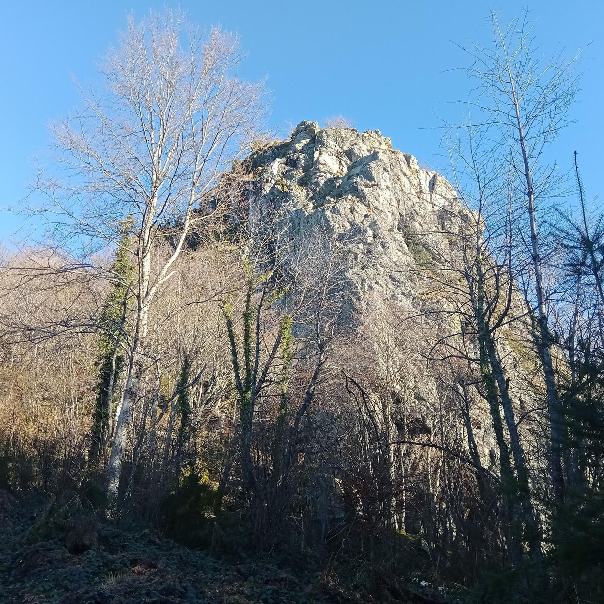
Saint-Vincent Rock is an imposing volcanic rock that offers breathtaking views of the surrounding forests and valleys. It is a natural wonder that dates back millions of years, when lava erupted from a fissure. Later, the sea receded, and tectonic movement lifted the lava, creating the impressive rock that stands today. You can explore the ruins of an ancient castle that once crowned the rock and admire a statue of the Virgin and Child, called "Our Lady of Up There," installed in 2012.
0
0

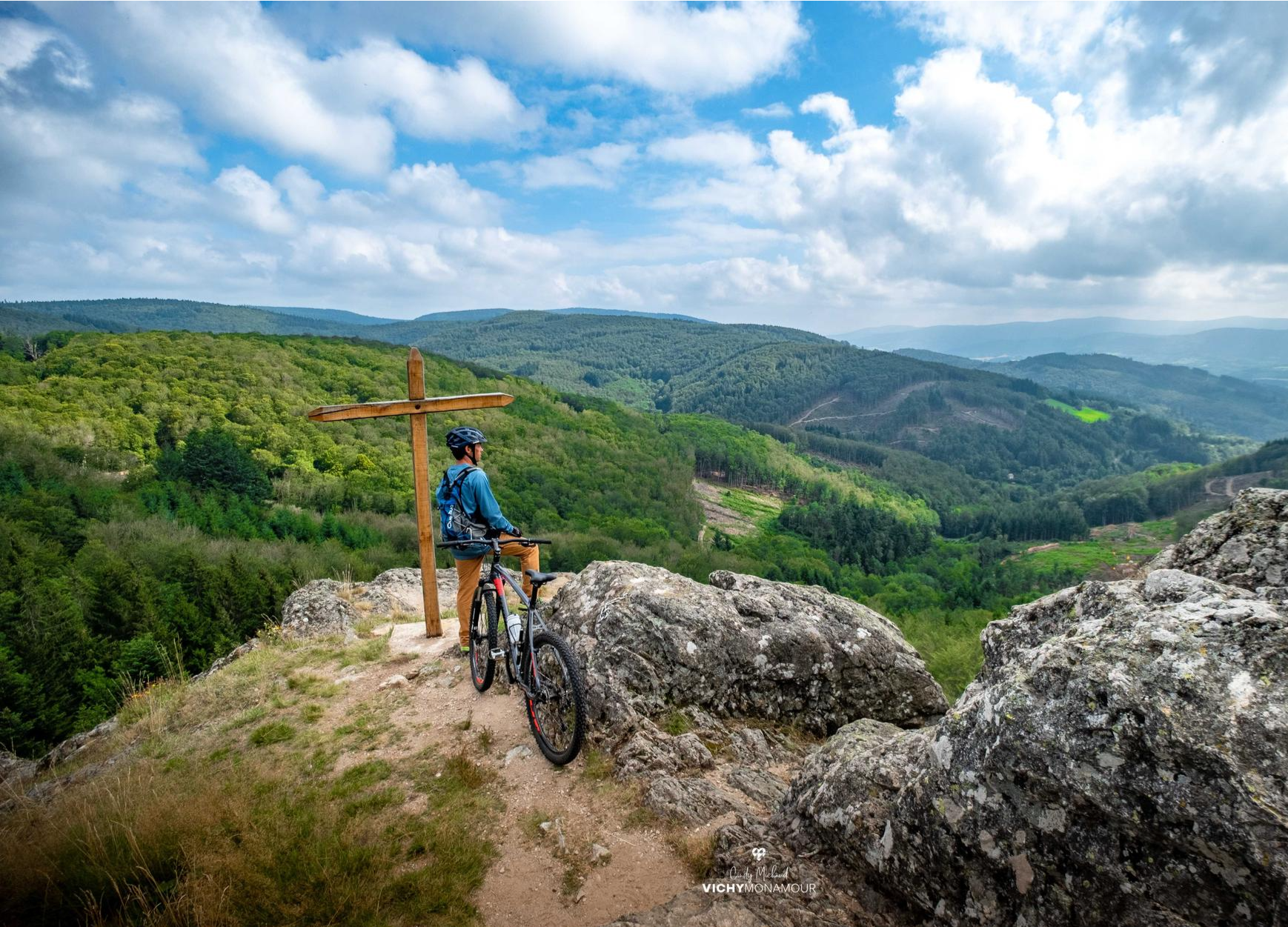
The Puy de Montoncel is an extinct volcano, culminating at an altitude of 1,287 meters. In a notebook, I wrote about it: "Its slopes are covered with a majestic thorn forest, with an archaic, sometimes primal beauty. The rare paths that cut through the woods wind along the slopes, in the shade of the green giants. These paths are the veins of the forest. They are tunnels of abundant oxygen. From meadows to groves, I feel as if I'm floating on an ocean of nature. At the summit of the puy, I find a plateau devoid of trees as if blown by the wind, and topped with a thick thatch. A huge iron cross rises into the sky, looking mischievously at the wind turbines on the neighboring ridges, which come to life with the sound of the air." I sit down on a wide carpet of green grass, a veritable velvet to rest my body after this first, sweaty climb. I light a pipe and cheerfully observe the Auvergne volcanoes that swell the horizon. Their supple, rounded shapes give the impression of observing distant hills. Puy-de-Dôme, Monts Dore, Puy-de-Sancy, I amuse myself by guessing the roofs I was clambering over the previous year.
0
0

What the runner walking quickly past encounters off the path are the modern heirs of the historic windmills, because centuries ago our ancestors were clever enough to harness the power of the elements for their own purposes. They used the wind captured in the blades to drive the heavy millstones, so that grain could be ground into flour, for example. While in the past, attention was paid to the architecture of each individual mill, this modern and unaesthetic variant - which is used to generate electricity - has simply been built en masse in the landscape. These wind farms, which are designed for efficiency, are not without controversy, because on the one hand, no consideration is given to the landscape when they are built, and above all, the slender blades become a death trap for birds.
1
0
At the crest of Chemin de la Ligue, the tops of the trees are not the only ones nourished by the wind. Here, you walk at the foot of the wind turbines. Immense, they impress as much by their size as by the monotonous sound they emit.
0
0
Frequently Asked Questions
How many hiking trails are available around Lavoine?
Lavoine offers a diverse network of over 25 hiking trails. These routes cater to various skill levels, including easy, moderate, and a few more challenging options, allowing you to explore the region's varied terrain.
Are there any easy, family-friendly walks in Lavoine?
Yes, Lavoine has several easy trails suitable for families. An excellent option is the Saint-Vincent Rock – View of the Wind Turbines loop from Lavoine, which is 2.9 miles (4.7 km) long and offers open views of the landscape. Another easy choice is the Hiking loop from Lavoine, covering 4 miles (6.4 km).
What kind of scenery can I expect on hikes around Lavoine?
The Lavoine area is characterized by a mix of rolling hills, dense forests, and open countryside. Many trails offer elevated viewpoints, such as those found on the Rocher Saint-Vincent Loop, providing panoramic vistas of the Auvergne-Rhône-Alpes region. You'll also encounter tranquil woodland paths and open areas with wind turbines.
Are there any circular walks available in Lavoine?
Yes, many of the trails around Lavoine are designed as circular routes, allowing you to start and end at the same point. Popular circular options include the Rocher Saint-Vincent Loop and the Puy de Montoncel – Puy de Montoncel loop from Lavoine.
What are some notable landmarks or attractions to see while hiking in Lavoine?
Hikers can discover several interesting landmarks. The prominent Saint-Vincent Rock offers great views, and you can also visit the Puy de Montoncel summit. For those interested in historical sites, the Château de Montgilbert is nearby, and the Chemin de la Ligue wind turbines provide a modern point of interest.
What do other hikers enjoy most about the trails in Lavoine?
The hiking trails in Lavoine are highly rated by the komoot community, with an average score of 4.4 stars from over 100 reviews. Hikers frequently praise the diverse terrain, from forested hills to open countryside, and the rewarding elevated viewpoints. The variety of routes suitable for different abilities is also a common highlight.
Are there any challenging hikes for experienced hikers in Lavoine?
While most trails are easy to moderate, Lavoine does offer some longer, more challenging options. For instance, the Saint-Vincent Rock loop from Lavoine is a moderate 7.2 miles (11.6 km) route with significant elevation gain, providing a good workout for experienced hikers.
What is the best time of year to hike in Lavoine?
The region's rolling hills and forests are beautiful throughout the warmer months. Spring brings vibrant greenery and blooming flora, while autumn offers stunning fall colors. Summer is ideal for longer days and pleasant temperatures. Always check local weather conditions before heading out.
Are there any trails that lead to mountain passes in the Lavoine area?
Yes, the region around Lavoine features several mountain passes that can be incorporated into hikes. Notable passes include the Col de la Loge des Gardes, Plantade Pass, and Col St Thomas (930 m), offering varied terrain and often scenic views.
What kind of terrain can I expect on the moderate trails?
Moderate trails in Lavoine, such as the Puy de Montoncel – Puy de Montoncel loop from Lavoine, typically involve more significant elevation changes and longer distances compared to easy routes. You can expect a mix of forest paths, open tracks, and potentially some steeper sections, often leading to rewarding viewpoints.
Is Lavoine a good destination for hikers looking for less crowded trails?
While some popular routes attract more visitors, Lavoine's extensive network of over 25 trails means you can often find quieter paths, especially on weekdays or by exploring some of the less-trafficked moderate routes. The region offers ample space to enjoy nature away from the crowds.
Most popular attractions around Lavoine

Get inspired with the komoot mobile app


Explore more
Browse the best Hikes in other regions.
