The best running trails around Wiler (Lötschen)
4.6
(43)
513
runners
24
runs
Jogging around Wiler (Lötschen) offers diverse routes within the picturesque Lötschental, characterized by its alpine scenery and glacial terraces. The region features sun-drenched pastures, views of the Bietschhorn, and various summits. Joggers can explore paths alongside mountain lakes and impressive gorges with waterfalls, providing a varied terrain for running. The valley's natural beauty creates an immersive experience for outdoor enthusiasts.
Best jogging routes around Wiler (Lötschen)
- The most popular jogging route is Schwarzsee (Lötschental) – Faflersee loop from Wiler (Lötschen)…
Last updated: October 14, 2026
52
runners
13.6km
01:29
140m
140m
Moderate run. Good fitness required. Mostly paved surfaces. Suitable for all skill levels.
36
runners
Hard run. Very good fitness required. Sure-footedness, sturdy shoes and alpine experience required.

29
runners
6.98km
00:44
10m
10m
Moderate run. Good fitness required. Mostly paved surfaces. Suitable for all skill levels.
5.0
(2)
12
runners
Hard run. Very good fitness required. Sure-footedness, sturdy shoes and alpine experience required.
10
runners
30.6km
04:49
1,350m
1,350m
Hard run. Very good fitness required. Sure-footedness, sturdy shoes and alpine experience required.
Get access to more routes and recommendations from other explorers.
Already have an account?
Our route recommendations are based on thousands of hikes, rides, and runs completed by other people on komoot.
Start today with a free account
Your next adventure awaits.
Popular around Wiler (Lötschen)
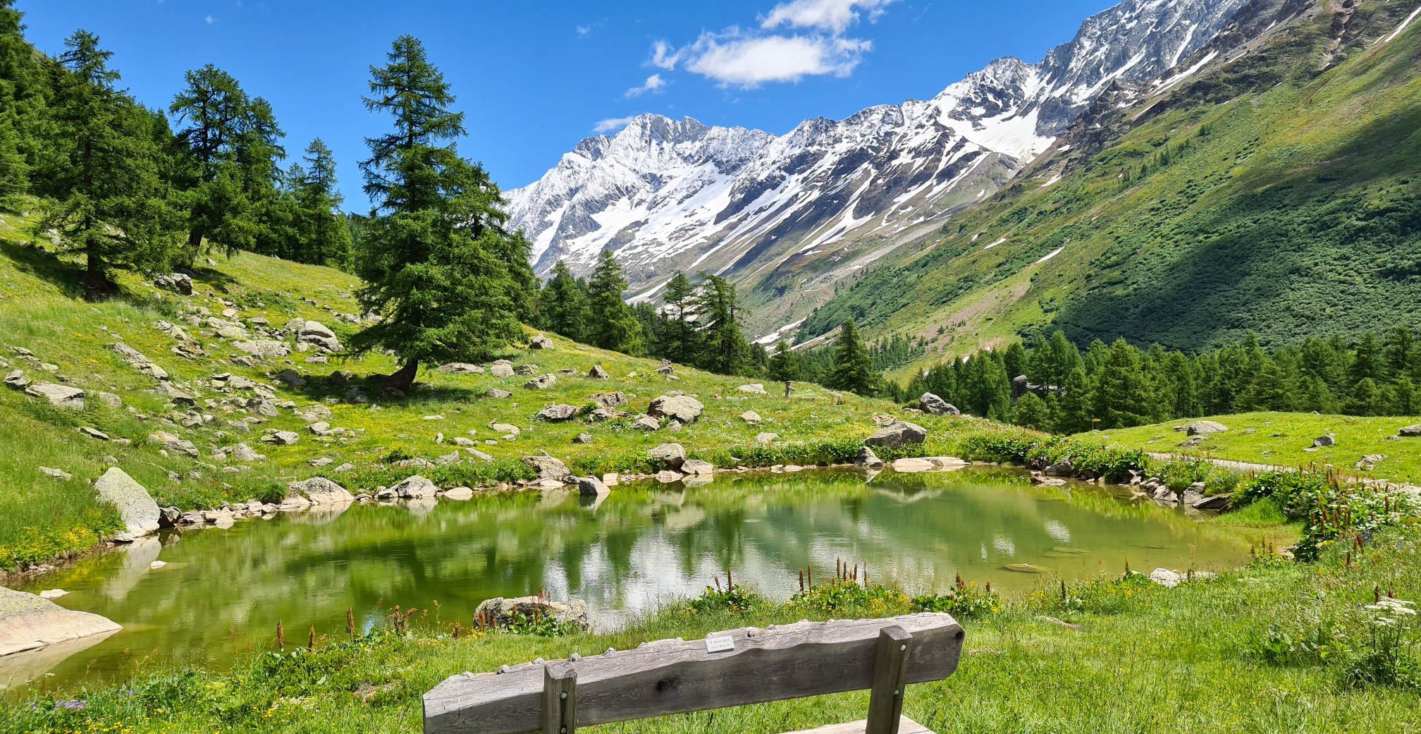
Lötschberg Panorama Trail – 4 days of alpine views in Switzerland
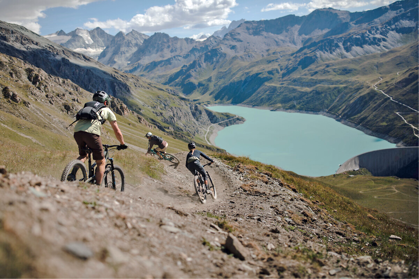
The most beautiful trails in Valais through the Alps – Valais Alpine Bike
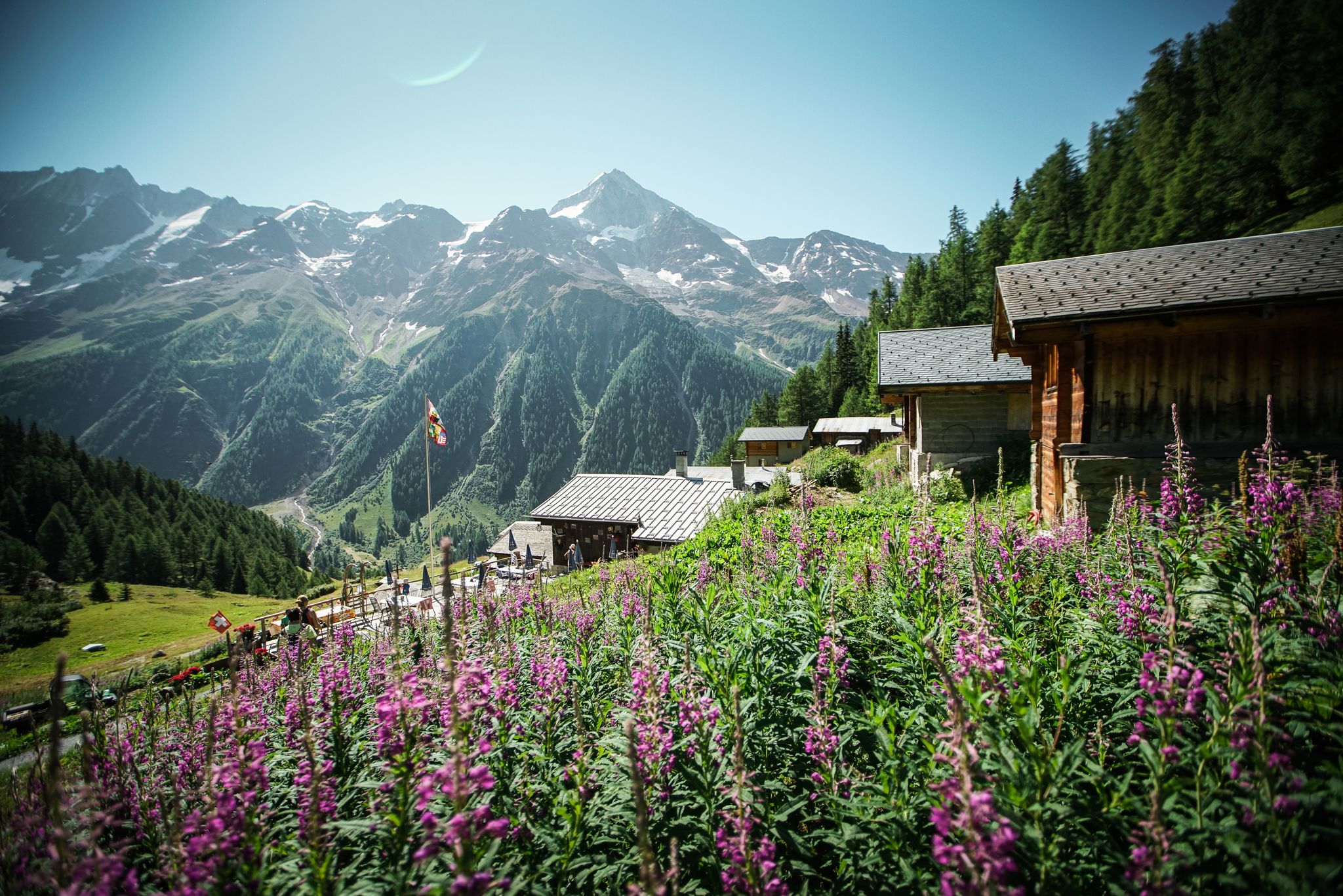
Mountain air, myths and beauty – hiking in the Lötschental
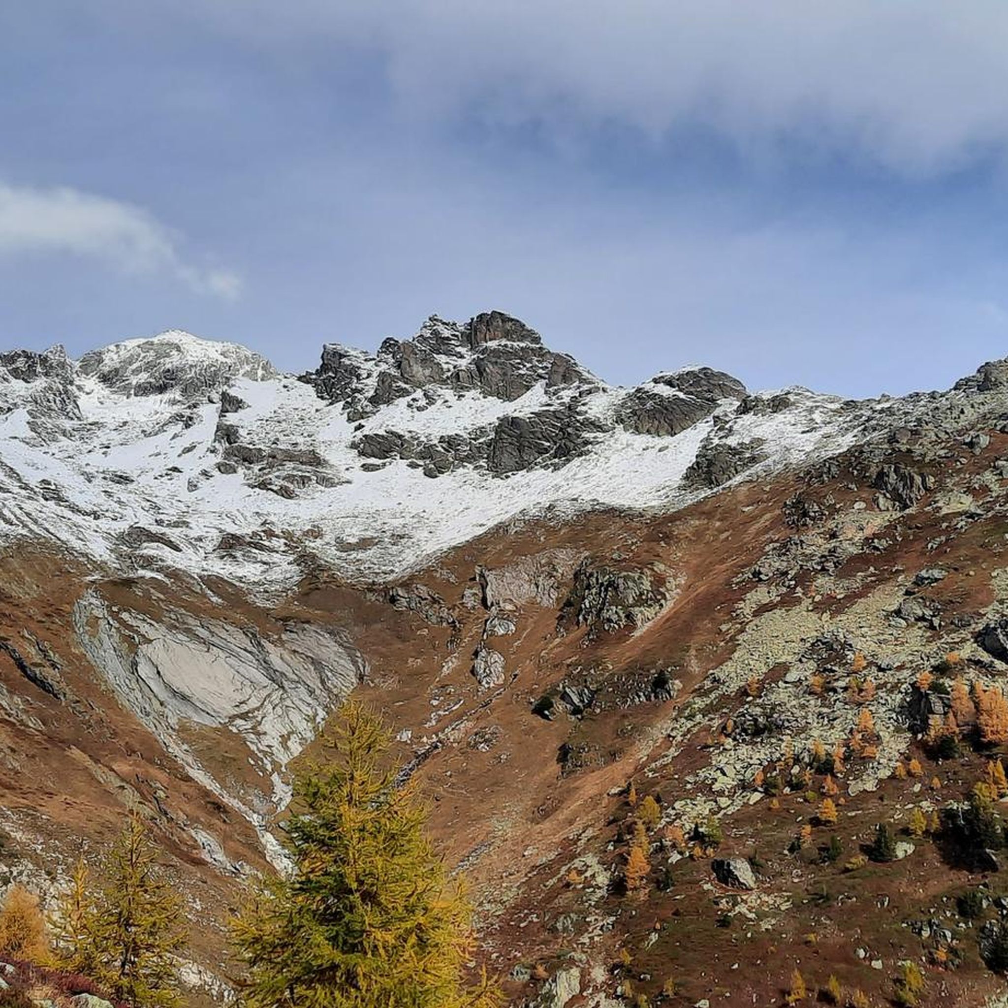
Cycling around Wiler (Lötschen)
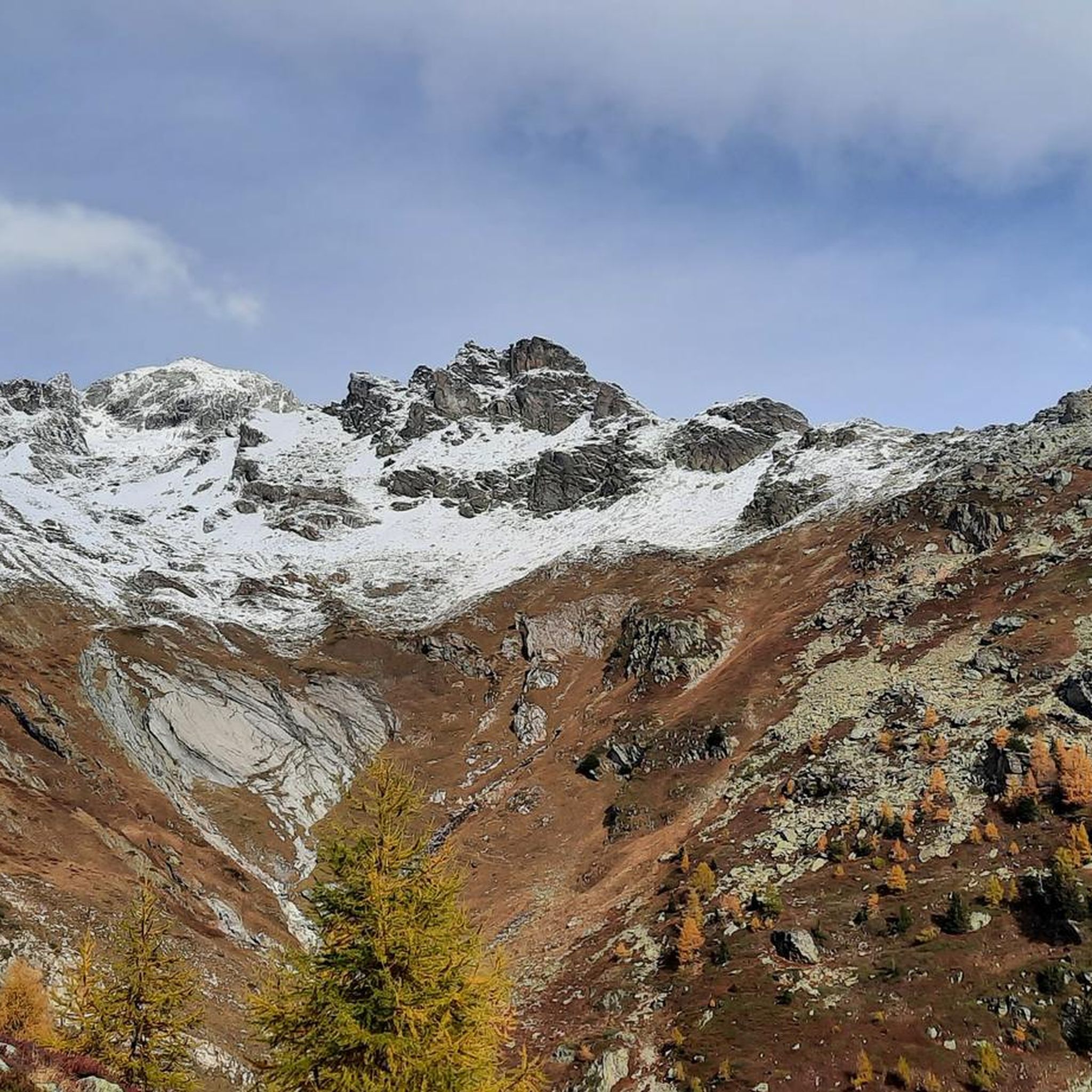
Hiking around Wiler (Lötschen)
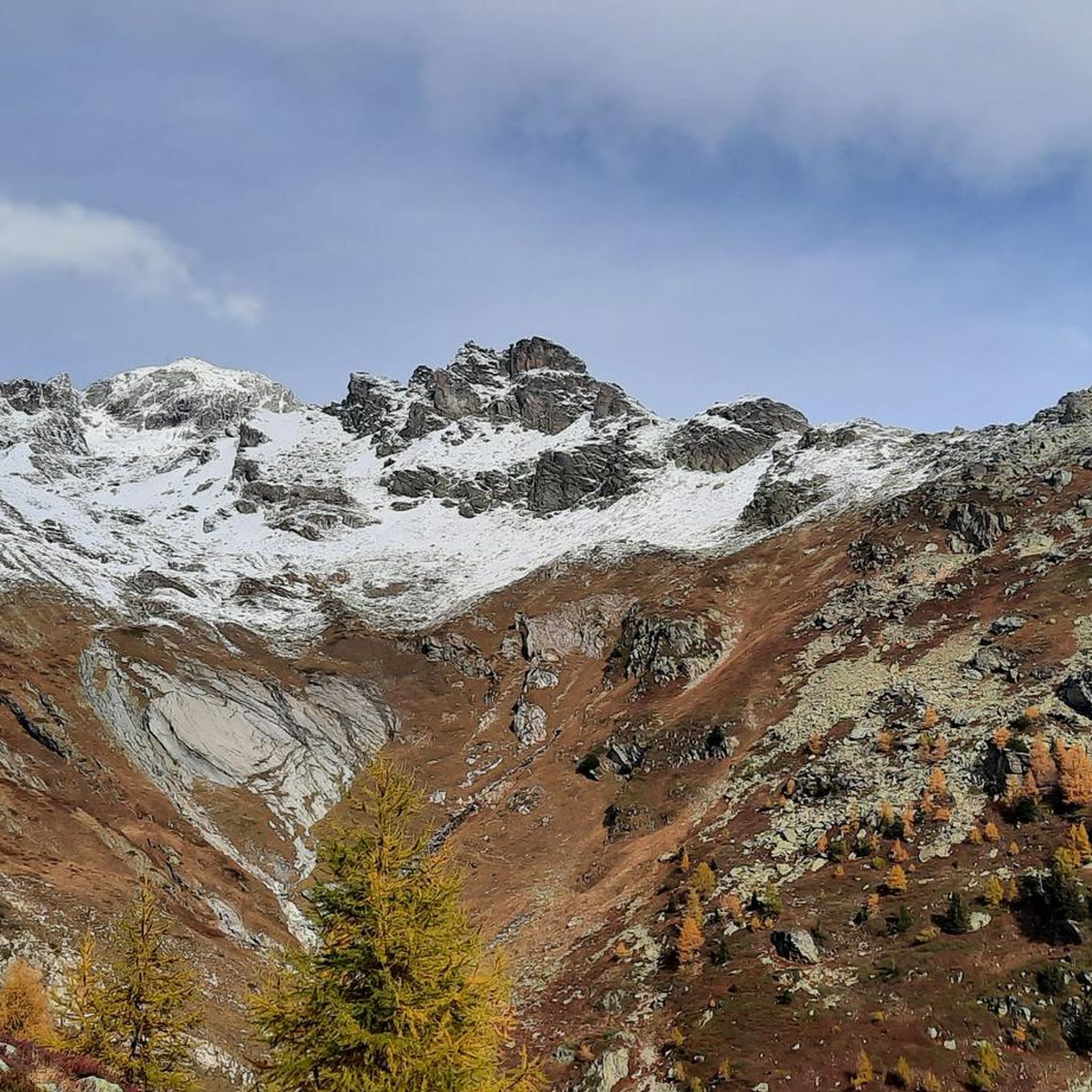
MTB Trails around Wiler (Lötschen)
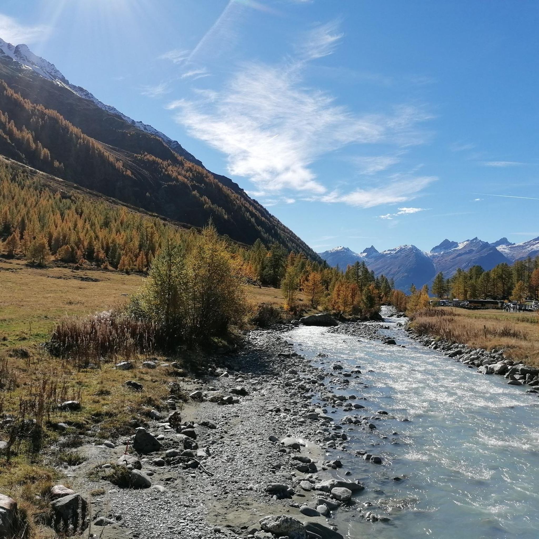
Road Cycling Routes around Wiler (Lötschen)
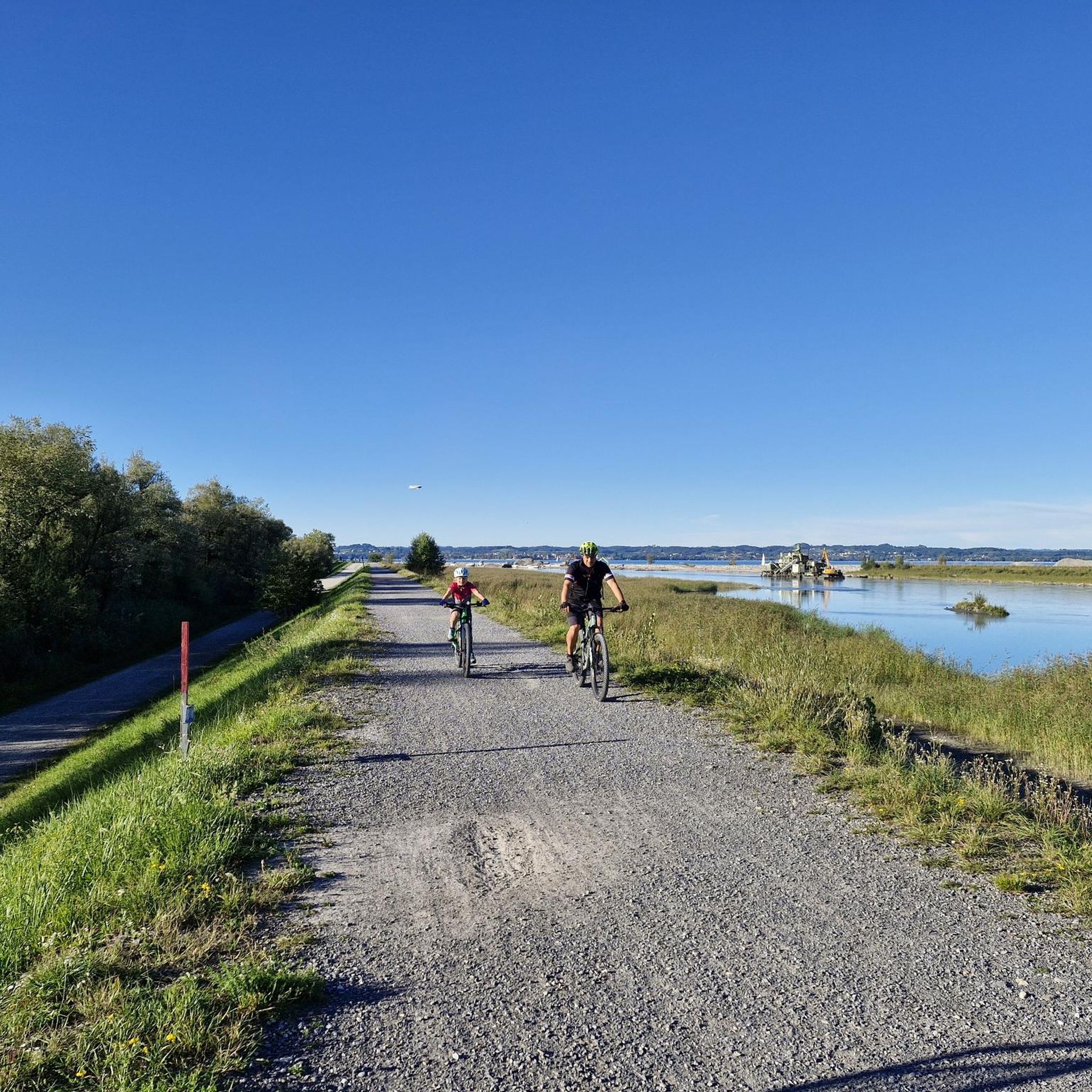
Mountain Hikes around Wiler (Lötschen)
Other adventures around Wiler (Lötschen)


Tips from the Community

The Rock Church is one of Europe's youngest and most impressive examples of millennia-old rock architecture. The church interior in the castle hill was artificially carved out of the rock. With 500 seats, St. Michael's Church is the largest modern place of worship located entirely inside a rock. This architectural feat is unique, especially as beauty and functionality, nature and culture, tradition and modernity are harmoniously combined here. The successful fusion of the old and new church contributes significantly to the interesting village scenery.
0
0

West of Visp station, the Vispa flows into the Rhône, which in German-speaking Upper Valais is traditionally called the Rotten. The approximately 8.5-kilometer-long Vispa is formed in Stalden by the confluence of the Mattervispa from the Mattertal valley and the Saaservispa from the Saas valley. Both tributaries carry milky-turquoise water from the glacier-covered high mountain regions around Zermatt and Saas-Fee. After its short course through the Vispertal valley, the Vispa finally joins the significantly wider Rotten. From here, the water continues its journey through the Valais and Lake Geneva, before the Rhône flows on through France to the Mediterranean Sea. The confluence is also a beautiful viewpoint and a fitting place to say goodbye to the Valais once more after a hike through the mountain world around Zermatt. It impressively shows how the water from the Valais Alps shapes the valleys and landscapes far beyond the high mountains.
0
0


You will repeatedly find rest benches along the cultural path. Here you can pause and enjoy the magnificent view.
0
0
Along the cultural path, you will repeatedly find exciting details: At this point, the path is accompanied by a small water pipe.
0
0

Wonderfully situated, high above the Lötschental, easily accessible by cable car from Wiler
0
1

Very good gravel road
0
0
Frequently Asked Questions
How many running routes are available in Wiler (Lötschen)?
There are over 25 running routes around Wiler (Lötschen) listed on komoot, offering a diverse range of options for joggers. These routes are highly rated by the komoot community, with an average score of 4.6 stars.
What kind of terrain can I expect on jogging routes around Wiler (Lötschen)?
Jogging routes in Wiler (Lötschen) offer a varied terrain, from picturesque valley paths to challenging alpine trails. You'll experience breathtaking alpine scenery, glacial terraces, sun-drenched pastures, and impressive gorges with beautiful waterfalls. The region is known for its dynamic trails and spectacular mountain views.
Are there running routes suitable for beginners in Wiler (Lötschen)?
While many routes in Wiler (Lötschen) are moderate to difficult, the region does offer paths suitable for all fitness levels. For a more leisurely experience, consider routes that follow the valley floor or multi-functional paths like the one from Lauchernalp to Wiler, which offers a pleasant descent through a picturesque landscape.
What are the options for experienced trail runners in Wiler (Lötschen)?
Experienced trail runners will find plenty of challenging options. Routes like the Schwarzsee (Lötschental) – Faflersee loop from Wiler (Lötschen) offer significant elevation gain and stunning alpine views. Other demanding trails include the 'Lauchernalp – Schwarzsee (Lötschental) loop' and the 'Lauchernalp – Lötschen Pass Hut loop', both requiring very good fitness and sure-footedness.
Can I find jogging routes with scenic viewpoints in Wiler (Lötschen)?
Absolutely! The Lötschental is renowned for its breathtaking alpine views. Many routes, especially those accessible from Lauchernalp, offer clear views of the majestic Bietschhorn, and even glimpses of the Weisshorn and Dent Blanche. A scenic highland path also provides clear views and features interesting old Lötschental sayings displayed on tree trunks.
Are there any routes that pass by lakes or waterfalls in the Lötschental?
Yes, the region features stunning natural water elements. You can find routes that pass by beautiful mountain lakes, such as those near the Lötschen Pass Hut. The area also boasts impressive gorges with beautiful waterfalls, making for a truly scenic running experience.
Are there any circular running routes in Wiler (Lötschen)?
Yes, many of the running routes around Wiler (Lötschen) are designed as loops, allowing you to start and finish in the same location. For example, the Schwarzsee (Lötschental) – Faflersee loop from Wiler (Lötschen) is a popular circular option for a longer run.
What are some interesting landmarks or attractions I might see along the running routes?
Beyond the natural beauty, you can encounter several interesting points. The Lötschen Pass Hut is a notable landmark, and the sun-drenched pastures like Kummenalp, Hockenalp, Lauchernalp, Weritzalp, and Tellialp offer unique insights into the alpine landscape. The village of Fafleralp is also a charming spot along some trails.
Are there dog-friendly running routes in Wiler (Lötschen)?
The Lötschental is generally very welcoming to outdoor enthusiasts and their canine companions. Most trails are suitable for dogs, but it's always recommended to keep them on a leash, especially in areas with livestock or wildlife. Ensure you carry enough water for both yourself and your dog, as water sources might be limited on some higher-altitude trails.
Can I access running routes in Wiler (Lötschen) using public transport?
Yes, public transport is a convenient way to access many starting points for running routes in the Lötschental. Wiler (Lötschen) itself is well-connected, and you can often use cable cars, such as the one from Wiler to Lauchernalp, to reach higher trails and enjoy runs with stunning views without needing a car.
Are there any running routes suitable for families with children?
While many routes are moderate to difficult, some sections and valley paths are suitable for families. Look for routes described as 'easy paths' in the region, which offer a more comfortable experience. The Oeschibach River Trail, for instance, provides an easy and comfortable section for a scenic walk or run that families might enjoy.
What is the best time of year to go jogging in Wiler (Lötschen)?
The Lötschental offers beautiful running opportunities throughout the warmer months, typically from late spring to early autumn, when trails are clear of snow. Some multi-functional paths, like the one from Lauchernalp to Wiler, are also used as winter hiking paths, suggesting that certain routes might be accessible for winter jogging, depending on snow conditions and maintenance.
What do other runners enjoy the most about jogging in Wiler (Lötschen)?
The area is highly rated by the komoot community, with an average score of 4.6 stars from over 40 reviews. Runners frequently praise the breathtaking alpine scenery, the diverse range of trails catering to different fitness levels, and the immersive experience of feeling the pulse of nature step by step in the picturesque Lötschental.
Most popular routes around Wiler (Lötschen)
Most popular attractions around Wiler (Lötschen)

Get inspired with the komoot mobile app


Explore more
Browse the best Running Trails & Routes in other regions.
