The best walks and hikes around Malegoude
4.8
(147)
411
hikers
91
hikes
Hiking around Malegoude offers access to the diverse landscapes of the Ariège department in the Occitanie region of France. The area is characterized by the Pyrenees mountains, with the Ariège Pyrenees Regional Nature Park preserving extensive mountain trails, lush forests, and high-altitude pastures. Hikers can explore a variety of terrains, from gentle loops through downy oak avenues to more challenging paths offering panoramic views of the Pyrenees. The region provides a range of natural features suitable for different hiking experiences.
…Last updated: July 4, 2026
4.8
(9)
25
hikers
8.10km
02:15
140m
140m
Moderate hike. Good fitness required. Easily-accessible paths. Suitable for all skill levels.
5.0
(2)
13
hikers
17.8km
05:01
380m
380m
Hard hike. Very good fitness required. Easily-accessible paths. Suitable for all skill levels.

Sign up for free
5.0
(3)
5
hikers
8.44km
02:26
210m
210m
Moderate hike. Good fitness required. Easily-accessible paths. Suitable for all skill levels.
5.0
(3)
14
hikers
5.37km
01:30
100m
110m
Easy hike. Great for any fitness level. Easily-accessible paths. Suitable for all skill levels.
5.0
(3)
4
hikers
6.33km
01:44
100m
100m
Easy hike. Great for any fitness level. Easily-accessible paths. Suitable for all skill levels.
Get access to more routes and recommendations from other explorers.
Sign up for free
Already have an account?
Our route recommendations are based on thousands of hikes, rides, and runs completed by other people on komoot.
Start today with a free account
Your next adventure awaits.
Login or Signup
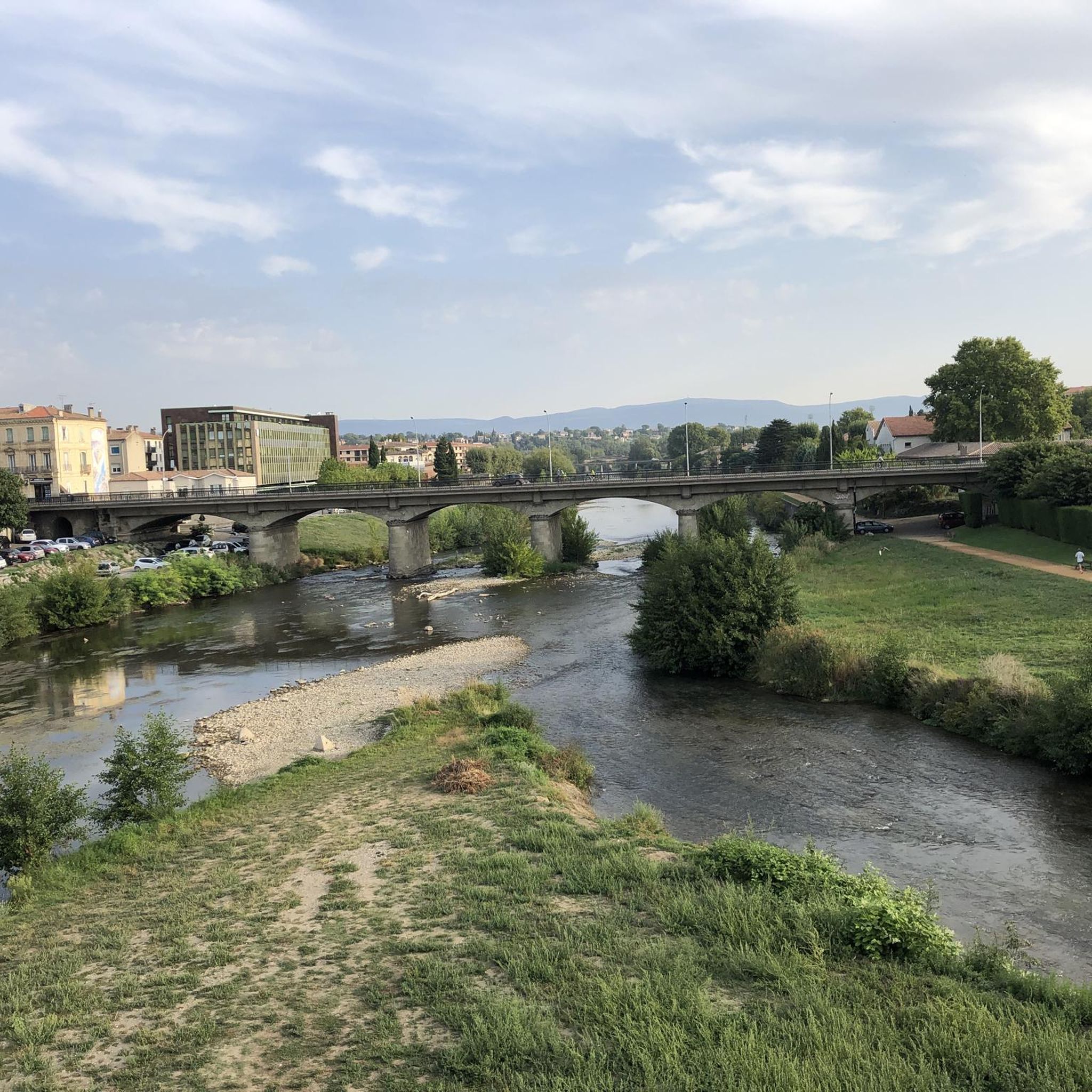
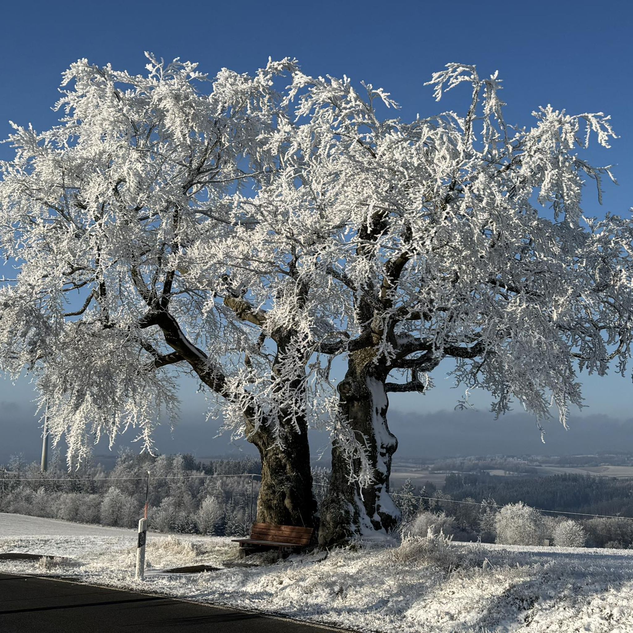
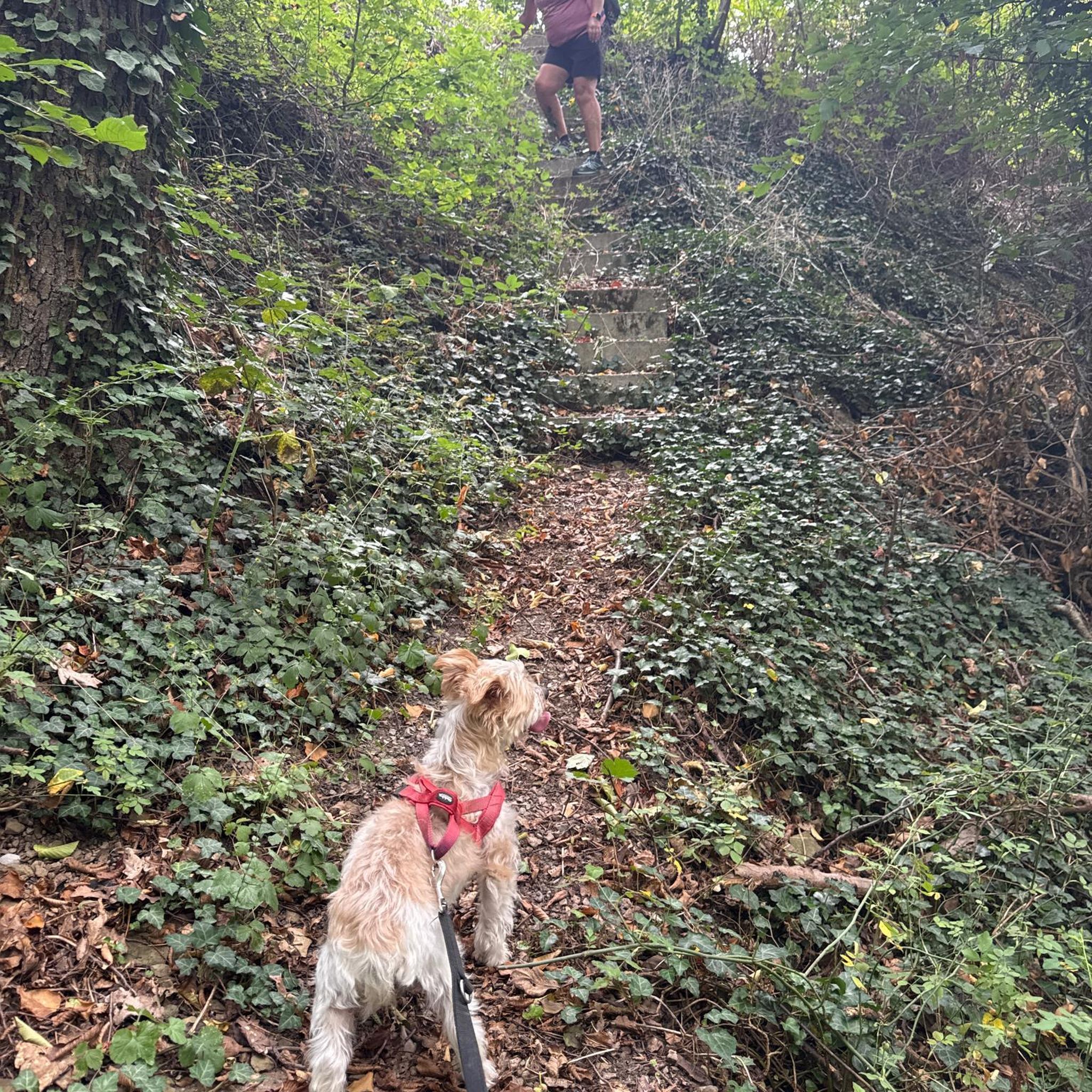


Tips from the Community

2 km from Hounoux by a magnificent path, enjoy a breathtaking view of the region
1
0

Also known as “Versailles of the Pyrenees”, Château Lagarde is the largest in Ariège. Built in the 14th century, it was abandoned at the end of the First Empire. Despite the looting and the resale of its stones, it has still stood for 700 years. These ruins bear witness to the great history of Languedoc.
0
0
Pretty little belvedere overlooking the town of Mirepoix. There is an orientation table which details the panorama. A little upstream there is also a beautiful and old cross.
1
0

Nice view from the Bahntrassenradweg on the small chapel in Moulin-Neuf.
3
0
Branch of the Bahntrassenradweg to Mirepoix, the surface is not so good here either.
3
0

This former railway port now supports the Moulin Neuf>Mirepoix greenway. It is located very close to the Cazal des Bayles and Bedou road.
0
0
This well with its coping and a wooden tower where the chain was rolled up to draw water.
0
0
The Black Virgin is located in an enclave of the wall of the Church of Lignairolle. When in the hand of Sainte Anne it is located in the wall of a building on the right about fifty meters going south after the Church.
2
0
Frequently Asked Questions
How many hiking trails are available around Malegoude?
The Malegoude area offers a diverse network of nearly 90 hiking trails. These routes cater to various fitness levels, ranging from easy strolls to more demanding ascents through the Pyrenees mountains.
Are there easy or family-friendly hiking options in Malegoude?
Yes, Malegoude is well-suited for families and beginners, with 46 easy trails. A great option is the Avenue with downy oaks loop from Roumengoux, a 6 km path that takes about 1 hour 39 minutes, offering a gentle walk through picturesque oak avenues. Another accessible choice is the View to the south – Magnificent view. loop from Seignalens, an easy 6.3 km route.
What kind of landscapes and natural features can I expect to see on hikes around Malegoude?
Hiking around Malegoude immerses you in the diverse landscapes of the Ariège Pyrenees. You'll encounter majestic mountains, lush forests, and high-altitude pastures. The region is also known for stunning water features like Lers lake and Bethmale lake, as well as dramatic waterfalls such as the Cascading Ars and Piche Waterfalls. Many trails offer panoramic views of the Pyrenees, such as the Panoramic View of the Pyrenees loop from Caudeval.
Are there any circular hiking routes in the Malegoude area?
Yes, many of the trails around Malegoude are circular, allowing you to start and end at the same point. For example, the popular Table Orientation – View to the south loop from Le Clot is a moderate 8.1 km circular trail offering views to the south. Another excellent circular option is the more challenging Panoramic View of the Pyrenees – Lagarde Castle loop from Moulin-Neuf.
What historical or cultural landmarks can I explore while hiking near Malegoude?
The region around Malegoude is rich in history. You can combine your hike with visits to historical sites like the Medieval town of Camon or the historic town of Mirepoix, known for its impressive cathedral. Some trails, like the Panoramic View of the Pyrenees – Lagarde Castle loop from Moulin-Neuf, even pass by notable structures such as Château de Lagarde.
What is the best time of year to go hiking in Malegoude?
The Ariège region, where Malegoude is located, offers hiking opportunities throughout much of the year. Spring and autumn provide pleasant temperatures and vibrant scenery, with spring showcasing wildflowers and autumn displaying rich foliage. Summer is ideal for higher-altitude treks in the Pyrenees, though lower trails can be enjoyed too. Winter hiking is possible, especially on lower elevation paths, but requires appropriate gear and awareness of conditions.
Are there any trails with significant elevation gain for experienced hikers?
Absolutely. For experienced hikers seeking a challenge, the Malegoude area offers routes with substantial elevation gain. The Panoramic View of the Pyrenees – Lagarde Castle loop from Moulin-Neuf is a difficult 17.8 km trail with over 379 meters of ascent, providing panoramic views of the Pyrenees. The broader Ariège Pyrenees also features peaks like Pic du Montcalm and Pic du Soularac for those with alpine experience.
What do other hikers say about the trails in Malegoude?
The hiking trails in Malegoude are highly regarded by the komoot community, boasting an average rating of 4.8 stars from over 140 reviews. Hikers frequently praise the diverse terrain, from gentle forest paths to challenging mountain ascents, and the stunning panoramic views of the Pyrenees.
Are there any viewpoints or scenic overlooks accessible on the trails?
Yes, many trails in Malegoude lead to fantastic viewpoints. The Table Orientation – View to the south loop from Le Clot is specifically named for its southern views. Additionally, the Panoramic View of the Pyrenees loop from Caudeval offers expansive vistas of the mountain range, allowing you to appreciate the grandeur of the Pyrenees.
What is the typical duration of hikes around Malegoude?
Hikes around Malegoude vary significantly in duration to suit different preferences. You can find shorter, easy walks like the Avenue with downy oaks loop from Roumengoux, which takes about 1 hour 39 minutes. For those seeking longer adventures, routes such as the Panoramic View of the Pyrenees – Lagarde Castle loop from Moulin-Neuf can take over 5 hours to complete.
Most popular routes around Malegoude
Most popular attractions around Malegoude

Get inspired with the komoot mobile app


Explore more
Browse the best Hikes in other regions.
