The best mountain hikes around Saas-Balen
4.7
(86)
1,757
hikers
37
hikes
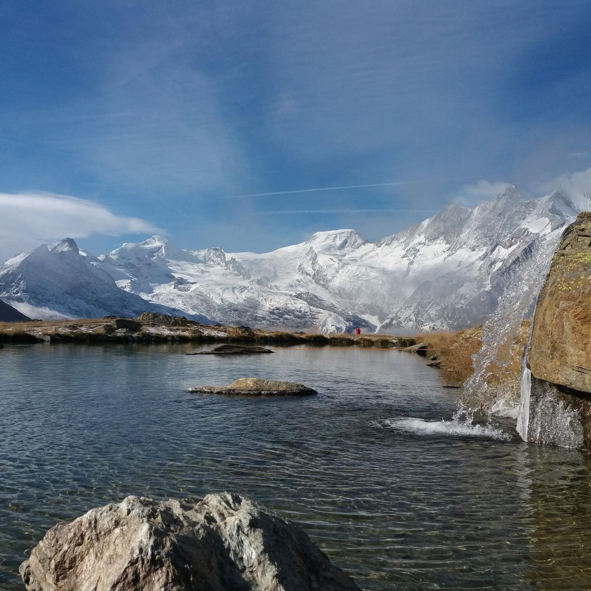
Mountaineering around Saas-Balen offers access to the high-alpine environment of the Valais Alps in Switzerland. The region is characterized by numerous four-thousand-meter peaks, including the Dom, and significant glaciers. This area provides a challenging backdrop for mountaineering, with routes traversing rugged terrain and offering extensive elevation gains. The landscape features dramatic rock formations, ice, and snow, typical of a high-alpine setting.
Best mountaineering routes around Saas-Balen
- The most popular mountaineering route is Weissmieshütte – Lagginhorn Summit loop from Jegihorn,…
Last updated: October 14, 2026
4.8
(9)
247
hikers
6.72km
06:53
1,170m
1,170m
Hard mountaineering route. Very good fitness required. Sure-footedness, sturdy shoes and alpine experience required.
5.0
(8)
180
hikers
6.00km
04:36
710m
710m
Hard mountaineering route. Good fitness required. Sure-footedness, sturdy shoes and alpine experience required.

4.9
(8)
108
hikers
12.9km
08:36
1,330m
1,330m
Hard mountaineering route. Very good fitness required. Sure-footedness, sturdy shoes and alpine experience required.
3.7
(3)
92
hikers
6.40km
05:50
790m
790m
Hard mountaineering route. Very good fitness required. Sure-footedness, sturdy shoes and alpine experience required.
5.0
(2)
54
hikers
4.02km
03:07
410m
410m
Hard mountaineering route. Good fitness required. Sure-footedness, sturdy shoes and alpine experience required.
Get access to more routes and recommendations from other explorers.
Already have an account?
Our route recommendations are based on thousands of hikes, rides, and runs completed by other people on komoot.
Start today with a free account
Your next adventure awaits.
Popular around Saas-Balen



Tips from the Community

pretty here, very pretty
3
0

Despite its size, it's a cozy mountain restaurant.
4
0

A long suspension bridge on the Jegihorn via ferrata, which can only be crossed if you've opted for the more difficult version of the climb (K4/K5) a few meters in advance. If you take the easier version, the trail doesn't cross the rope bridge.
0
0

The Weissmies is the highest peak of the Weissmies/Lagginhorn/Fletschhorn trio. It is listed on the new maps at only 4017 m; previously, the elevation was given as 4023 m. The six meters of elevation loss is due to the melting of the summit cap, which is made entirely of ice. In return, the secondary peak to the southeast of the highest point (formerly P. 3965) has been upgraded by seven meters to 3972 m.
0
0
Frequently Asked Questions
How many mountaineering routes are available around Saas-Balen?
There are over 30 challenging mountaineering routes available around Saas-Balen, offering diverse high-alpine experiences. The region is known for its demanding ascents and stunning scenery.
What level of fitness is required for mountaineering in Saas-Balen?
Mountaineering routes in Saas-Balen are predominantly difficult, requiring very good fitness, sure-footedness, sturdy shoes, and alpine experience. For example, the Weissmieshütte – Lower Trift Glacier loop involves significant elevation gain and covers over 12 km.
What natural attractions can I expect to see while mountaineering near Saas-Balen?
The Saas-Balen area, part of the Saas Valley, is surrounded by majestic four-thousand-meter peaks and glaciers. You can expect dramatic rock formations, ice, and snow. Notable natural features include the impressive Fellbachfall Waterfall and serene alpine lakes like Mattmark Reservoir.
Are there any notable waterfalls along the mountaineering routes?
Yes, the region features several impressive waterfalls. The Fellbachfall Waterfall in Saas-Balen is a prominent natural spectacle. Other cascades include the Almagellerbach Waterfall and the Waterfall Near Sennhütte, offering stunning views.
Can I find routes that pass by alpine lakes?
Yes, the Saas-Balen area offers opportunities to encounter beautiful alpine lakes. The Mattmark Reservoir is a serene alpine lake surrounded by towering peaks, ideal for a peaceful retreat. You might also come across Kreuzboden Lake and Schalisee in the broader region.
What is the best time of year for mountaineering in Saas-Balen?
The best time for mountaineering in Saas-Balen is typically during the summer months when the high-alpine routes are more accessible and conditions are generally more stable. However, conditions can change rapidly, so always check local weather and trail reports.
Are there any circular mountaineering routes available?
Yes, there are several circular mountaineering routes. For instance, the Jegihorn Via Ferrata – Jegihorn Summit loop offers an adventurous climbing experience, while the Weissmieshütte – Jegihorn Summit loop provides another challenging circular option.
How can I reach the trailheads for mountaineering routes in Saas-Balen using public transport?
Saas-Balen is well-connected within the Saas Valley. Public transport, often buses, can take you to various starting points for hikes and mountaineering routes. It's advisable to check local bus schedules for specific trailhead access.
Is parking available near the mountaineering trailheads?
Parking is generally available in the Saas-Balen area, often at or near the starting points of popular routes or in the village itself. Specific parking options may vary by trailhead, so it's recommended to research your chosen route beforehand.
Are there any specific permits required for mountaineering in this region?
While general hiking does not typically require permits, certain high-alpine mountaineering routes, especially those involving glaciers or specific climbing sections, might have regulations or require guides. Always check with local alpine clubs or tourist information for the most current requirements.
What do other mountaineers enjoy the most about mountaineering in Saas-Balen?
The area is highly rated by the komoot community, with an average score of 4.7 stars from over 70 reviews. Mountaineers often praise the challenging high-alpine environment, the stunning views of the 4000-meter peaks, and the diverse range of demanding ascents available.
Are there any family-friendly options for exploring the alpine environment around Saas-Balen?
While many mountaineering routes are difficult, the broader Saas-Balen region offers various scenic hiking paths suitable for different skill levels. For families, there are easier walks, such as the Town Circular Walk, and attractions like the nearby Forest Adventure Park in Saas-Grund, which provides zip-lining and other activities.
Most popular routes around Saas-Balen
Most popular attractions around Saas-Balen

Get inspired with the komoot mobile app


Explore more
Browse the best Mountain Hikes & Routes in other regions.
