The best walks and hikes around Aguilcourt
4.3
(78)
330
hikers
65
hikes
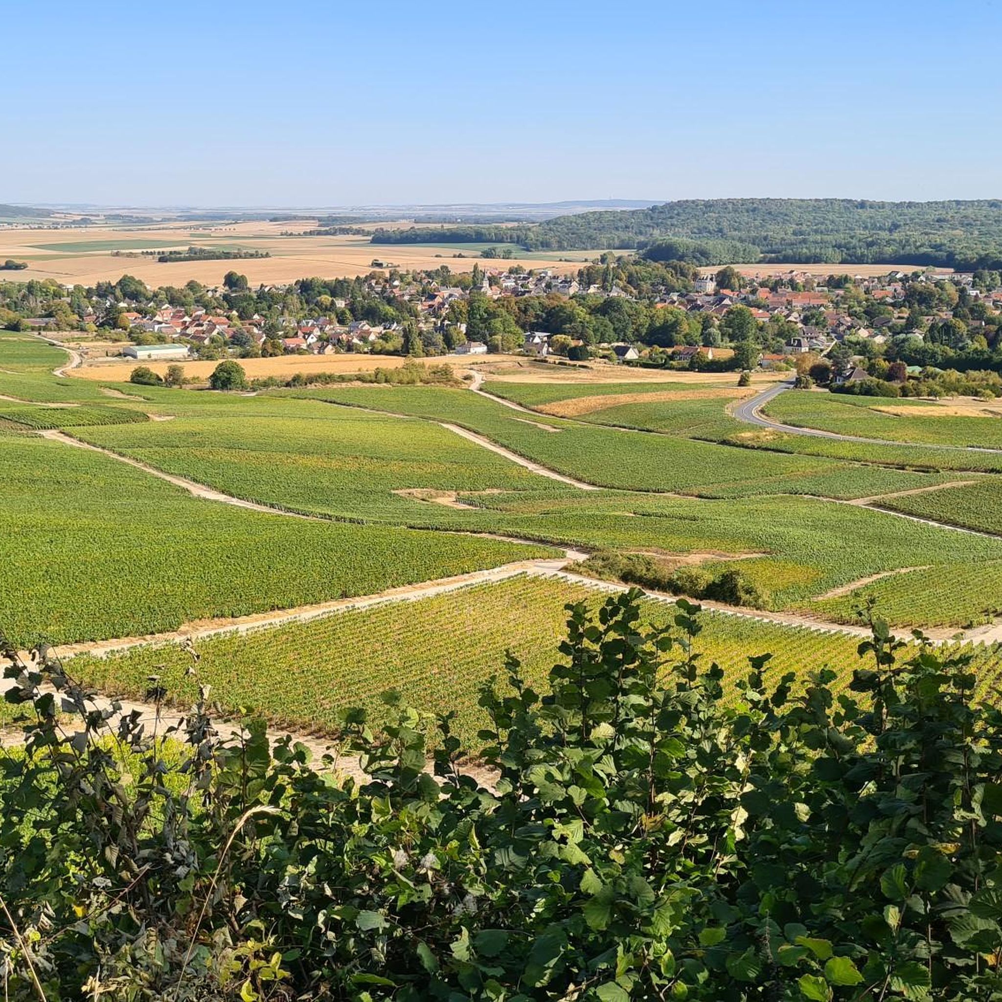
Hiking around Aguilcourt offers access to diverse natural landscapes in the Hauts-de-France region. The area is characterized by its proximity to the Regional Natural Park of Montagne-de-Reims, providing varied terrain for exploration. Hikers can discover unique ecosystems within natural reserves, including marshlands, heathlands, and hillside environments. Rivers like the Aisne and several canals also contribute to picturesque routes, offering flat paths alongside waterways.
Best hiking trails around Aguilcourt
- The most popular hiking route is The observatory – Town Hall of…
Last updated: October 8, 2026
5.0
(1)
9
hikers
27.8km
07:23
290m
260m
Hard hike. Very good fitness required. Easily-accessible paths. Suitable for all skill levels.
3.0
(2)
8
hikers
Moderate hike. Good fitness required. Easily-accessible paths. Suitable for all skill levels.

3.8
(4)
10
hikers
Moderate hike. Good fitness required. Easily-accessible paths. Suitable for all skill levels.
3.0
(2)
6
hikers
Moderate hike. Good fitness required. Easily-accessible paths. Suitable for all skill levels.
5.0
(1)
4
hikers
6.98km
01:50
50m
50m
Easy hike. Great for any fitness level. Easily-accessible paths. Suitable for all skill levels.
Get access to more routes and recommendations from other explorers.
Already have an account?
Our route recommendations are based on thousands of hikes, rides, and runs completed by other people on komoot.
Start today with a free account
Your next adventure awaits.
Tips from the Community

In 1924, this memorial was erected in memory of the 22 soldiers and 12 civilians from Guignicourt who died during the First World War. The monument, located near the church, shows in relief a peasant couple mourning at a grave – a rare human and modest image rather than a classic military symbol. It recalls the deep suffering that the war left in this hard-hit municipality.
9
0
This church, built between the 11th and 13th centuries, is a fine example of transitional architecture between Romanesque and Gothic. It was built on the site of an earlier wooden church and possibly even a Gallo-Roman sanctuary. The construction was partly financed by the Abbey of Saint-Hubert (Belgium), which owned land in the region. The church has been protected as a historical monument since 1921.
9
0

Beautiful church with a World War I memorial in front of it
3
0

relax for a while
0
0
Frequently Asked Questions
How many hiking trails are available around Aguilcourt?
There are over 50 hiking trails around Aguilcourt, offering a variety of experiences. You'll find 17 easy routes perfect for a relaxed stroll, and 38 moderate trails for those looking for a bit more challenge. There are no difficult routes listed, making the area accessible for most hikers.
What kind of terrain can I expect on hikes near Aguilcourt?
The terrain around Aguilcourt is generally varied, featuring picturesque landscapes shaped by rivers like the Aisne and canals such as the Canal de l'Aisne à la Marne. Many routes follow these waterways, offering relatively flat paths. You can also expect to encounter natural reserves with marshlands and heathlands, and some routes may include gentle ascents, particularly closer to areas like the Regional Natural Park of Montagne-de-Reims.
Are there any family-friendly hiking options in the Aguilcourt area?
Yes, with 17 easy routes, the Aguilcourt area offers several family-friendly hiking options. These trails are generally shorter and have minimal elevation gain, making them suitable for all ages. Look for routes that follow the canals or explore the natural reserves for a pleasant outing with children.
What are some notable natural features or landmarks to see while hiking near Aguilcourt?
The region boasts several interesting natural features and historical landmarks. You can explore unique ecosystems in natural reserves like the Réserve naturelle du marais de Vesles-et-Caumont or the Réserve naturelle des Landes de Versigny. For a geological marvel, the Châlons-sur-Vesle Sandpit displays traces of an ancient ocean. Additionally, you might encounter historical sites such as the Cormicy National Necropolis or the charming St. Pierre Church in Guignicourt.
Are there any circular hiking routes available near Aguilcourt?
Yes, many of the trails in the area are designed as circular routes, allowing you to start and end at the same point. An example is The observatory – Town Hall of Cormicy loop from Cormicy, which offers a moderate 7.37 km hike. Another option is the Town Hall of Cormicy loop from Cormicy, covering 9.1 km.
What do other hikers enjoy most about the trails around Aguilcourt?
The komoot community rates the hiking experience around Aguilcourt highly, with an average score of 4.3 stars from 46 ratings. Hikers often praise the peaceful canal-side paths, the natural beauty of the reserves, and the accessibility of the trails for various fitness levels. The opportunity to explore both natural landscapes and historical sites is also frequently highlighted.
Can I find trails that follow canals or rivers in the Aguilcourt area?
Absolutely. The presence of the Aisne River and the Canal de l'Aisne à la Marne provides numerous opportunities for picturesque walks along waterways. Consider the Path Along the Canal – Footpath Along the Aisne loop from Guignicourt, a moderate 16 km route, or the Footpath Along the Aisne – Path Along the Canal loop from Villeneuve-sur-Aisne for a shorter 9.8 km option.
Are there any longer, more challenging hikes for experienced trekkers?
While there are no routes classified as 'difficult' in this guide, there are several moderate trails that offer a good distance for experienced trekkers. For example, the Path Along the Canal loop from Menneville is a moderate 16.68 km hike, providing a longer outing to enjoy the regional scenery.
What is the best time of year to go hiking in Aguilcourt?
The area around Aguilcourt is enjoyable for hiking throughout much of the year. Spring and autumn offer pleasant temperatures and beautiful scenery, with blooming wildflowers or vibrant fall foliage. Summer is also suitable, especially for walks along shaded canal paths. While specific winter conditions can vary, some trails may still be accessible for a crisp, quiet hike.
Are there any natural reserves or parks nearby for extended exploration?
Yes, Aguilcourt is conveniently located near several significant natural areas. Approximately 31 km away, you'll find the expansive Regional Natural Park of Montagne-de-Reims, which offers extensive hiking opportunities. Closer by, you can explore unique ecosystems in reserves such as the Réserve naturelle du marais de Vesles-et-Caumont, Réserve naturelle des Landes de Versigny, and Réserve naturelle du Coteau de Chartèves.
Most popular routes around Aguilcourt
Most popular attractions around Aguilcourt

Get inspired with the komoot mobile app


Explore more
Browse the best Hikes in other regions.
