The best walks and hikes around Haussonville
4.3
(109)
457
hikers
51
hikes
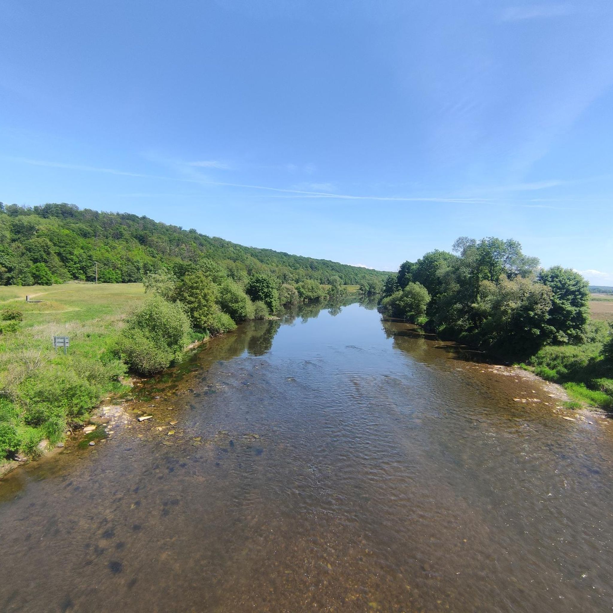
Hiking around Haussonville, situated in the Meurthe-et-Moselle department of France, provides access to the diverse landscapes of the Lorraine Regional Natural Park. The region is characterized by extensive deciduous forests, numerous rivers and ponds, and wooded hills. These natural features offer varied terrain for hiking, from wetland areas to panoramic viewpoints.
Best hiking trails around Haussonville
- The most popular hiking route is The heights of Vigneulles — loop from Vigneulles, a 2.8 miles (4.5 km) trail that takes 1…
Last updated: July 5, 2026
4.6
(11)
40
hikers
4.48km
01:16
90m
90m
Easy hike. Great for any fitness level. Easily-accessible paths. Suitable for all skill levels.
4.2
(5)
9
hikers
18.3km
04:48
150m
150m
Moderate hike. Good fitness required. Easily-accessible paths. Suitable for all skill levels.

Sign up for free
5.0
(1)
7
hikers
10.0km
02:48
200m
200m
Moderate hike. Good fitness required. Easily-accessible paths. Suitable for all skill levels.
5.0
(1)
6
hikers
9.73km
02:43
190m
190m
Moderate hike. Good fitness required. Easily-accessible paths. Suitable for all skill levels.
13
hikers
Easy hike. Great for any fitness level. Easily-accessible paths. Suitable for all skill levels.
Get access to more routes and recommendations from other explorers.
Sign up for free
Already have an account?
Our route recommendations are based on thousands of hikes, rides, and runs completed by other people on komoot.
Start today with a free account
Your next adventure awaits.
Login or Signup



Tips from the Community

An easy walk. Nice for a quick stop. Note the decline of the quays along the Canal des Vosges.
0
0

Center of washing and water supply, these fountains are still a point of interest today.
5
1
This beautiful forest constitutes more than half of the village of Vitrimont. It's a great place to walk around if you're looking for peace and solitude.
3
0
This castle is now a 4-star luxury hotel. A feast for the eyes during your visit or perhaps you will stop?
4
1

These municipal ponds are used for fishing. The place is quiet and shady, ideal for a break. Educational panels installed along the ponds reveal part of the local history.
7
0

Magnificent course, well shaded in summer. Attention, it is Roville in front of Bayon
5
0

route along the canal easy and very pleasant
5
0
Very nice and comfortable trail
1
0
Frequently Asked Questions
How many hiking trails are available around Haussonville?
There are over 50 hiking routes around Haussonville, offering a variety of experiences. These include 20 easy trails and 32 moderate trails, ensuring options for different fitness levels.
What kind of terrain can I expect on hikes near Haussonville?
The terrain around Haussonville is diverse, characterized by the landscapes of the Lorraine Regional Natural Park. You'll find extensive deciduous forests, numerous rivers and ponds, and wooded hills. Trails often wind through wetland areas, open panoramas, and sometimes vineyard landscapes, as seen on routes like Saint Quentin fountain – The top of the vines loop from Ferrières.
Are there family-friendly hiking options near Haussonville?
Yes, the region offers several family-friendly hikes. Many of the 20 easy trails are suitable for families. For example, the The heights of Vigneulles — loop from Vigneulles is an easy 2.8-mile (4.5 km) loop that can be completed in just over an hour, offering elevated views without being too strenuous.
Can I bring my dog on the hiking trails?
Most trails in the Lorraine Regional Natural Park, which surrounds Haussonville, are generally dog-friendly. However, it's always recommended to keep dogs on a leash, especially in areas with wildlife or near agricultural land, and to check specific trail regulations if posted.
Are there any circular walks available?
Yes, many of the routes around Haussonville are designed as circular walks, allowing you to start and end at the same point. Examples include The heights of Vigneulles — loop from Vigneulles and Forest of Vitrimont and Château d'Adoménil — loop from Damelevières.
What interesting landmarks or natural features can I see along the trails?
The region is rich in natural beauty and historical sites. You might encounter features like the extensive wetlands and ponds of the Lorraine Regional Natural Park. Specific highlights near Haussonville include the historic Haroué Castle, the impressive Flavigny-sur-Moselle Canal Aqueduct, and the serene Ponds of the Saussaie de Bayon. Some trails also offer panoramic views from elevated positions, such as those near the Minet Pass (349 m).
What is the best time of year to go hiking in this area?
The Lorraine Regional Natural Park is beautiful throughout the year. Spring brings lush greenery and blooming wildflowers, while autumn offers stunning fall foliage in the deciduous forests. Summer is ideal for longer days and warmer weather, though some areas can be humid. Winter hikes are possible, especially on less challenging routes, offering a different, serene perspective of the frosted landscapes.
Are there any longer or more challenging hikes for experienced hikers?
While the immediate area around Haussonville features mostly easy to moderate trails, the wider Lorraine Regional Natural Park offers more extensive options. For example, the Forest of Vitrimont and Château d'Adoménil — loop from Damelevières is a moderate 11.4-mile (18.3 km) path that takes several hours to complete, winding through forests and past historical sites. The renowned GR5 trail also passes through the park for those seeking multi-day challenges.
What do other hikers say about the trails around Haussonville?
The hiking routes around Haussonville are highly regarded by the komoot community, with an average score of 4.3 stars from over 90 reviews. Hikers often praise the varied terrain, the peaceful forest sections, and the well-maintained paths that allow for enjoyable exploration of the region's natural beauty.
Is there parking available at the trailheads?
While specific parking details vary by trailhead, many popular starting points for hikes within the Lorraine Regional Natural Park and surrounding villages offer designated parking areas. It's advisable to check the route details on komoot for specific parking information for your chosen trail.
Are there any amenities like cafes or pubs near the hiking trails?
The villages and towns surrounding Haussonville, such as Damelevières or Bayon, often have local cafes, bakeries, or small restaurants where you can find refreshments before or after your hike. For more extensive options, larger towns like Nancy are within a reasonable driving distance.
Are there any trails that offer views of water features like rivers or ponds?
Yes, the region is known for its numerous rivers and ponds, particularly within the Lorraine Regional Natural Park. Many trails incorporate these water features. The park is home to over three hundred ponds, especially in the Woëvre and 'Pays des Étangs' areas, providing picturesque waterside walking opportunities.
Most popular routes around Haussonville
Most popular attractions around Haussonville

Get inspired with the komoot mobile app


Explore more
Browse the best Hikes in other regions.
