The best mountain hikes around Gampel-Bratsch
4.8
(21)
231
hikers
7
hikes
Mountaineering routes around Gampel-Bratsch are set within the majestic Valais region of Switzerland, characterized by dramatic alpine landscapes and the towering peaks of the Swiss Alps. The terrain features prominent glaciers, deep gorges like the Dala Gorge, and diverse elevations rising from the Rhone Valley floor. This area offers challenging ascents and high-alpine environments for experienced mountaineers.
Best mountaineering routes around Gampel-Bratsch
- The most popular mountaineering route is Wiwanni Hut – Wiwannihorn (3,001 m) loop from Ausserberg, a 6.2 miles (9.9 km) trail that takes about 7 hours 30 minutes to complete. This challenging route leads to a prominent summit, offering expansive views of the surrounding alpine environment.
- Another top favourite among local mountaineers is Schizlinadenweg Trail – Lötschenpasshütte loop from Wiler (Lötschen), a difficult 8.1 miles (13.0 km) path. This route traverses high mountain terrain, providing access to a historic pass hut and panoramic vistas.
- Local mountaineers also love the Fiducia Cherubini seating area – Undri Schmitte Picnic Area loop from Leukerbad, a 6.6 miles (10.6 km) trail leading through alpine forests and open slopes, often completed in about 8 hours 35 minutes.
- Mountaineering around Gampel-Bratsch is defined by majestic Valais mountains, prominent glaciers, and deep gorges, offering a range of challenging high-alpine experiences. The region's network of trails provides options for different ability levels, though many routes are suited for experienced mountaineers.
- The routes in Gampel-Bratsch are highly rated by the komoot community with an average score of 4.8 stars from more than 20 reviews. More than 200 mountaineers have used komoot to explore Gampel-Bratsch's varied terrain.
Last updated: August 21, 2026
40
hikers
9.80km
07:29
1,070m
1,070m
Hard mountaineering route. Very good fitness required. Sure-footedness, sturdy shoes and alpine experience required.
6
hikers
13.3km
06:04
830m
830m
Hard mountaineering route. Very good fitness required. Sure-footedness, sturdy shoes and alpine experience required.

Sign up for free
5.0
(1)
11
hikers
10.6km
08:33
1,080m
1,080m
Hard mountaineering route. Very good fitness required. Sure-footedness, sturdy shoes and alpine experience required.
8
hikers
5.90km
03:33
490m
490m
Hard mountaineering route. Good fitness required. Sure-footedness, sturdy shoes and alpine experience required.
5
hikers
4.91km
02:44
470m
470m
Hard mountaineering route. Good fitness required. Sure-footedness, sturdy shoes and alpine experience required.
Get access to more routes and recommendations from other explorers.
Sign up for free
Already have an account?
Our route recommendations are based on thousands of hikes, rides, and runs completed by other people on komoot.
Start today with a free account
Your next adventure awaits.
Login or Signup
Popular around Gampel-Bratsch
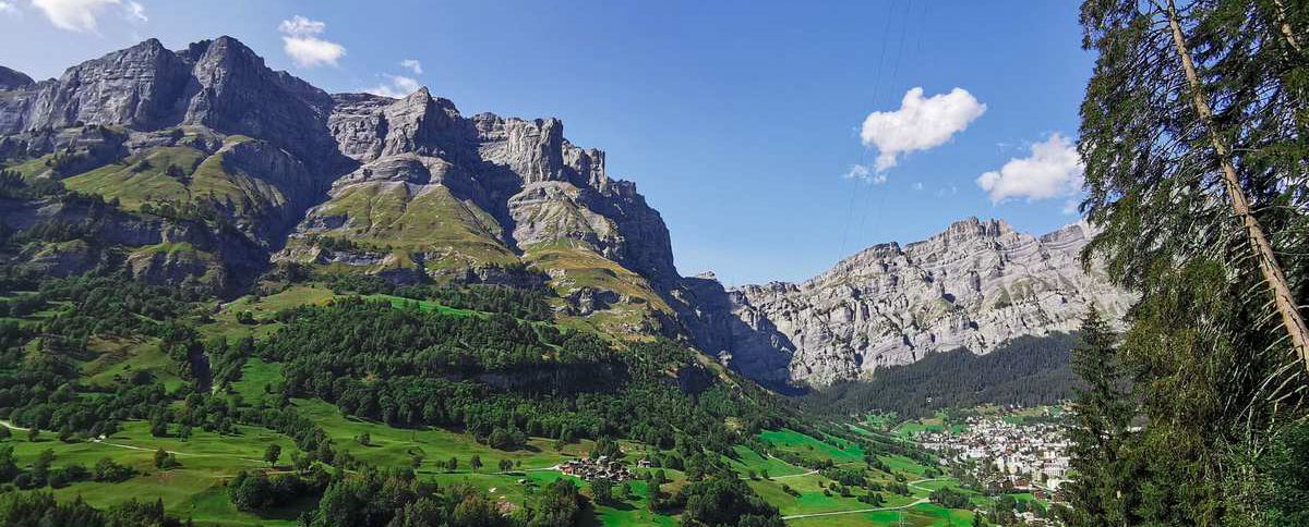
On the bright side of life – hiking the Valais Sun Trail
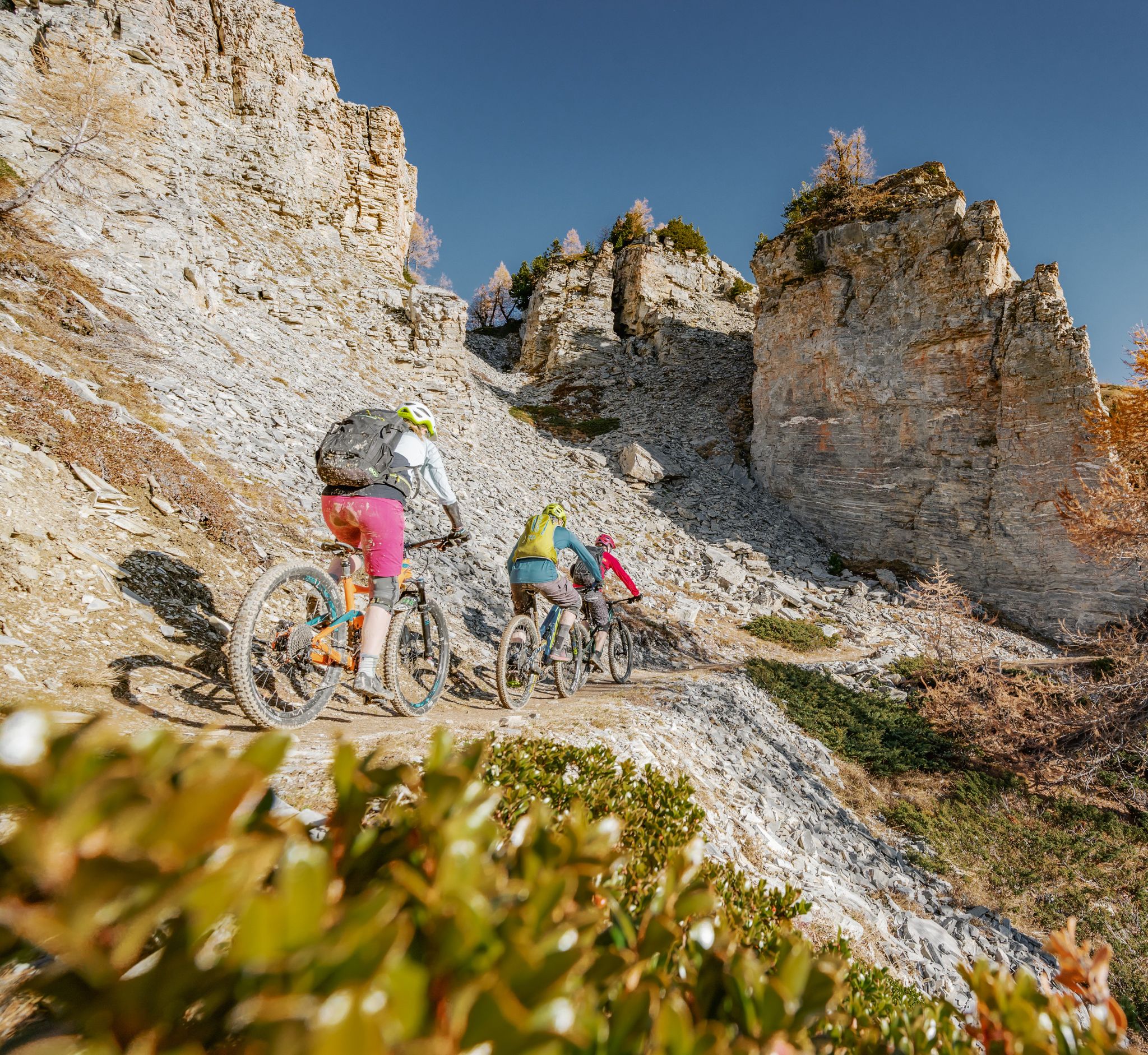
Pure biking bliss – MTB in Switzerland’s Leukerbad
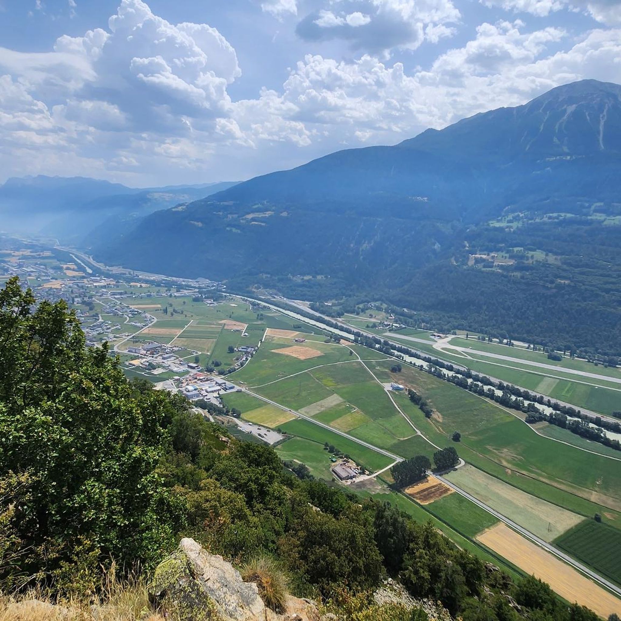
MTB Trails around Gampel-Bratsch
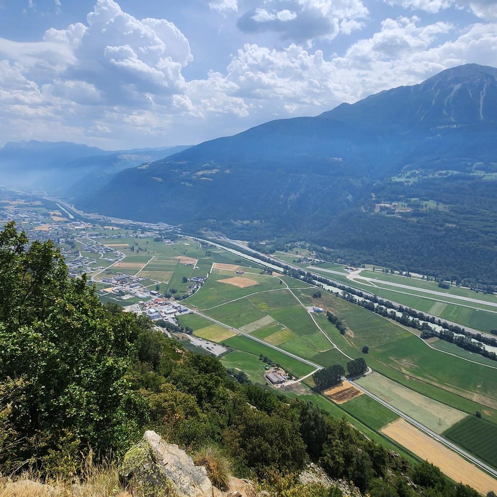
Cycling around Gampel-Bratsch
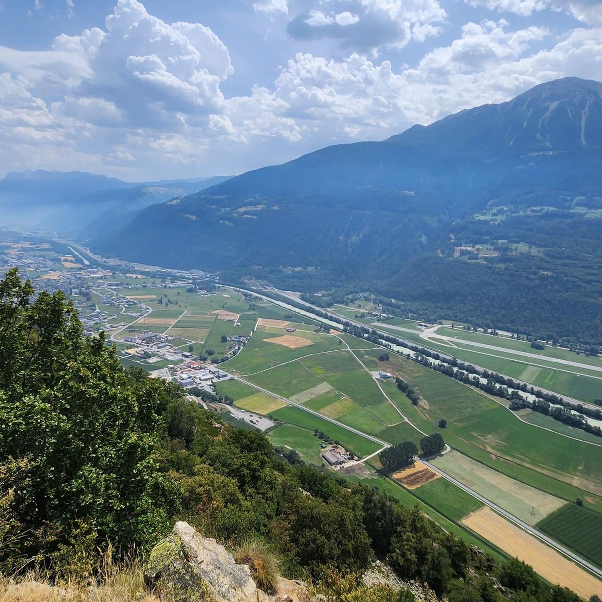
Road Cycling Routes around Gampel-Bratsch
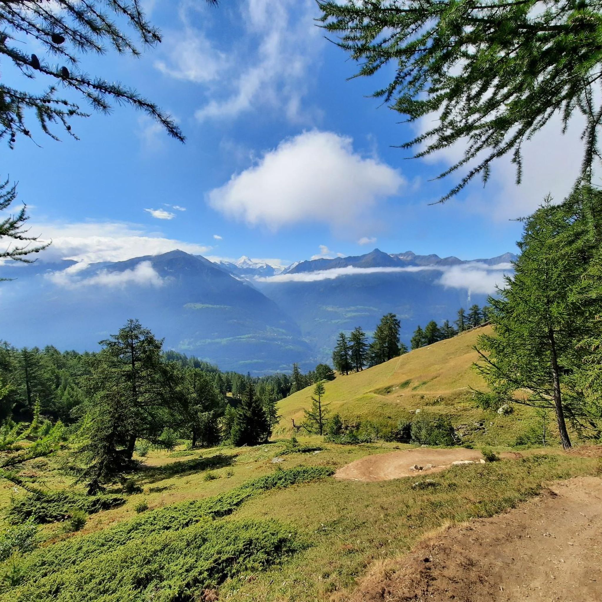
Hiking around Gampel-Bratsch
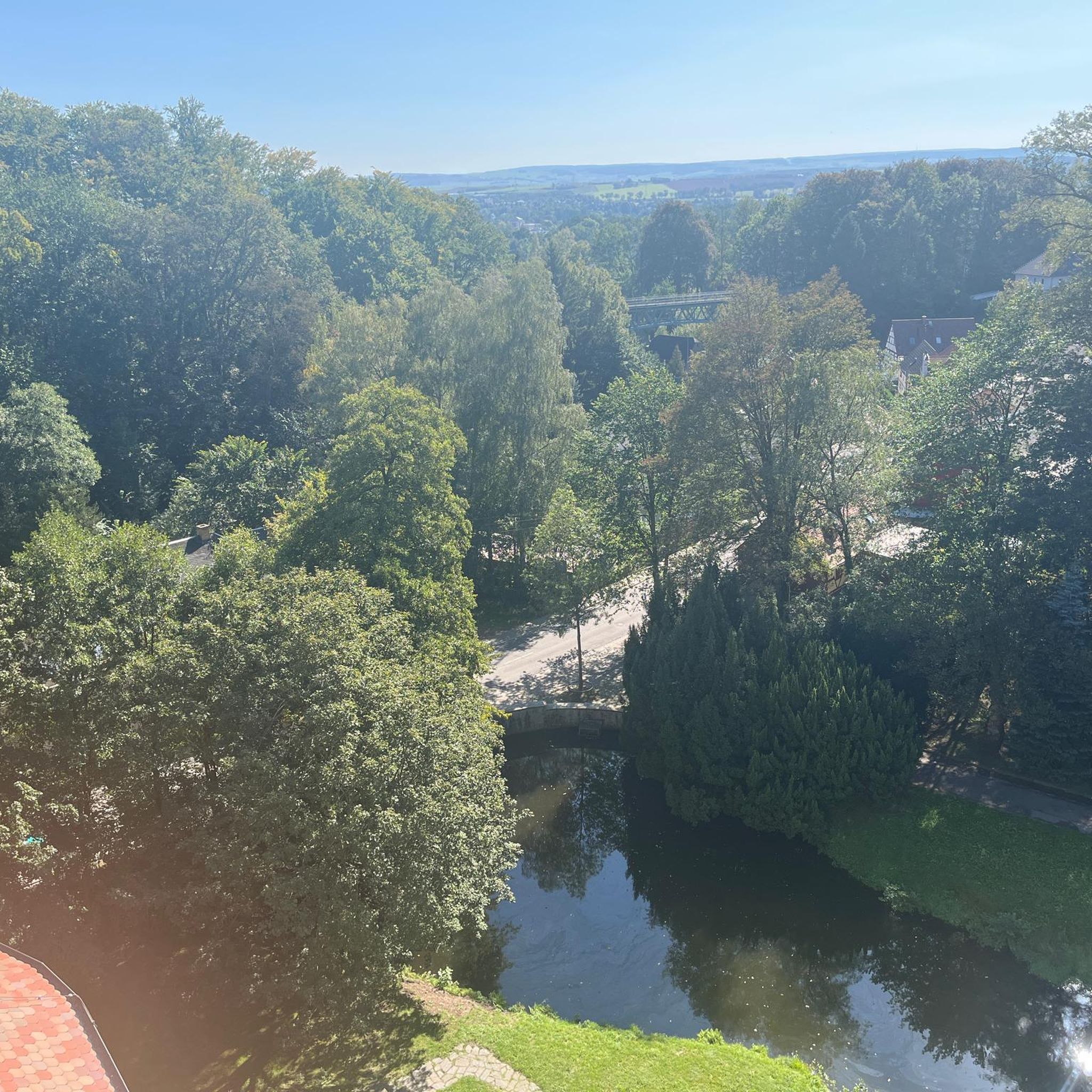
Gravel biking around Gampel-Bratsch
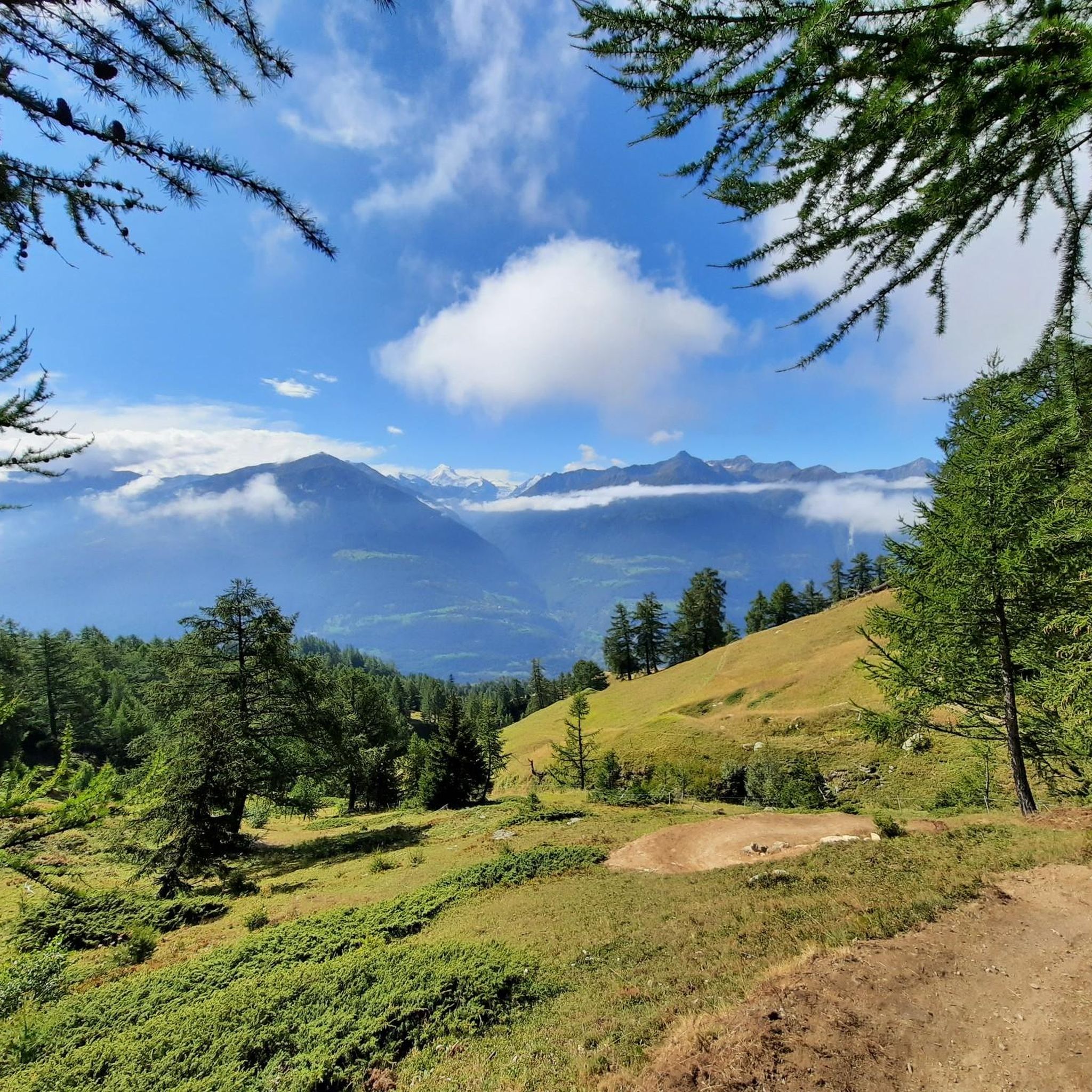
Running Trails around Gampel-Bratsch


Tips from the Community


Small chapel with the best view of the Lötschental and the Bietschhorn
1
0
Wonderfully situated, high above the Lötschental, easily accessible by cable car from Wiler
0
1
Wonderful mountain house, with friendly staff, you can stay in simple rooms and the food was also wonderful
2
0


This valley is a must-see
1
0

Graubünden as a picnic spot with a view.
1
2
Frequently Asked Questions
What kind of mountaineering routes can I expect in Gampel-Bratsch?
Gampel-Bratsch, nestled in the Valais region of Switzerland, offers a range of challenging high-alpine mountaineering experiences. The routes are set amidst dramatic alpine landscapes, featuring majestic Valais mountains, prominent glaciers, and deep gorges. Most routes are suited for experienced mountaineers, with 6 out of 7 routes rated as difficult.
Are there any easier mountaineering routes for beginners in Gampel-Bratsch?
While most mountaineering routes in Gampel-Bratsch are rated as difficult, there is one moderate route available. This allows for a slightly less strenuous introduction to the region's alpine environment, though it still requires appropriate preparation and gear.
What are some notable natural features or landmarks I might encounter on mountaineering routes in Gampel-Bratsch?
Mountaineering in Gampel-Bratsch offers breathtaking views of iconic peaks like Jungfrau, Breithorn, Matterhorn, Grand Combin, and Mont Blanc. You might also encounter impressive natural features such as glaciers, the dramatic Dala Gorge with its thermal springs, and historic Suonen (ancient irrigation channels). For specific points of interest, consider visiting the Torrenthorn Summit Cross or the Thermal Springs Walkway Dalaschlucht.
Are there any circular mountaineering routes in Gampel-Bratsch?
Yes, Gampel-Bratsch offers several circular mountaineering routes. A challenging option is the Wiwanni Hut – Wiwannihorn (3,001 m) loop from Ausserberg, which is 9.9 km long and typically takes about 7 hours 30 minutes. Another difficult circular route is the Schizlinadenweg Trail – Lötschenpasshütte loop from Wiler (Lötschen), covering 13.0 km.
What do other mountaineers say about the routes in Gampel-Bratsch?
The mountaineering routes in Gampel-Bratsch are highly regarded by the komoot community, with an average score of 4.8 stars from more than 20 reviews. Mountaineers often praise the challenging ascents, the stunning high-alpine environments, and the expansive views of the surrounding Swiss Alps.
What is the best time of year for mountaineering in Gampel-Bratsch?
The best time for mountaineering in Gampel-Bratsch is typically during the warmer months when the alpine meadows are vibrant and trails are clear of snow. However, the region also transforms into a snowy wonderland in winter, offering opportunities for snowshoe tours, though mountaineering conditions will be significantly more challenging and require specialized gear and experience.
Are there any routes that lead to a summit with panoramic views?
Absolutely. The Wiwanni Hut – Wiwannihorn (3,001 m) loop from Ausserberg leads to a prominent summit, offering expansive views of the surrounding alpine environment. Another option is the Lötschenpasshütte – Hockenhorn Summit (3293 m) loop from Ferdenrothorn, which takes you to the Hockenhorn Summit.
Are there any huts or places to rest along the mountaineering routes?
Yes, some routes incorporate mountain huts. For example, the Schizlinadenweg Trail – Lötschenpasshütte loop from Wiler (Lötschen) provides access to the historic Lötschen Pass Hut. These huts can offer a place for rest or refreshments during your tour.
Can I find any routes that pass by impressive bridges or gorges?
While specific mountaineering routes may not directly pass through them, the region of Gampel-Bratsch is known for its impressive structures and natural formations. The Dala Gorge features a thermal springs footbridge, and the Bietschtal Bridge spans the valley at a height of 78 meters. You can explore the Thermal Springs Walkway Dalaschlucht or the Bhutan Bridge Over the Illgraben as nearby attractions.
Are there any routes suitable for a full-day mountaineering adventure?
Many of the difficult mountaineering routes in Gampel-Bratsch are suitable for a full-day adventure due to their length and elevation gain. For instance, the Fiducia Cherubini seating area – Undri Schmitte Picnic Area loop from Leukerbad is 10.6 km long and typically takes about 8 hours 35 minutes to complete, making it an excellent option for a substantial day out.
What kind of views can I expect from the higher elevations in Gampel-Bratsch?
From higher elevations in Gampel-Bratsch, you can expect truly breathtaking panoramic views of the Swiss Alps. The region offers vistas of iconic peaks such as Jungfrau, Breithorn, Matterhorn, Grand Combin, and Mont Blanc, alongside dramatic glaciers and the contrasting Rhone Valley floor below.
Most popular routes around Gampel-Bratsch
Most popular attractions around Gampel-Bratsch

Get inspired with the komoot mobile app


Explore more
Browse the best Mountain Hikes & Routes in other regions.
