The best mountain hikes around Unterschächen
5.0
(29)
413
hikers
22
hikes
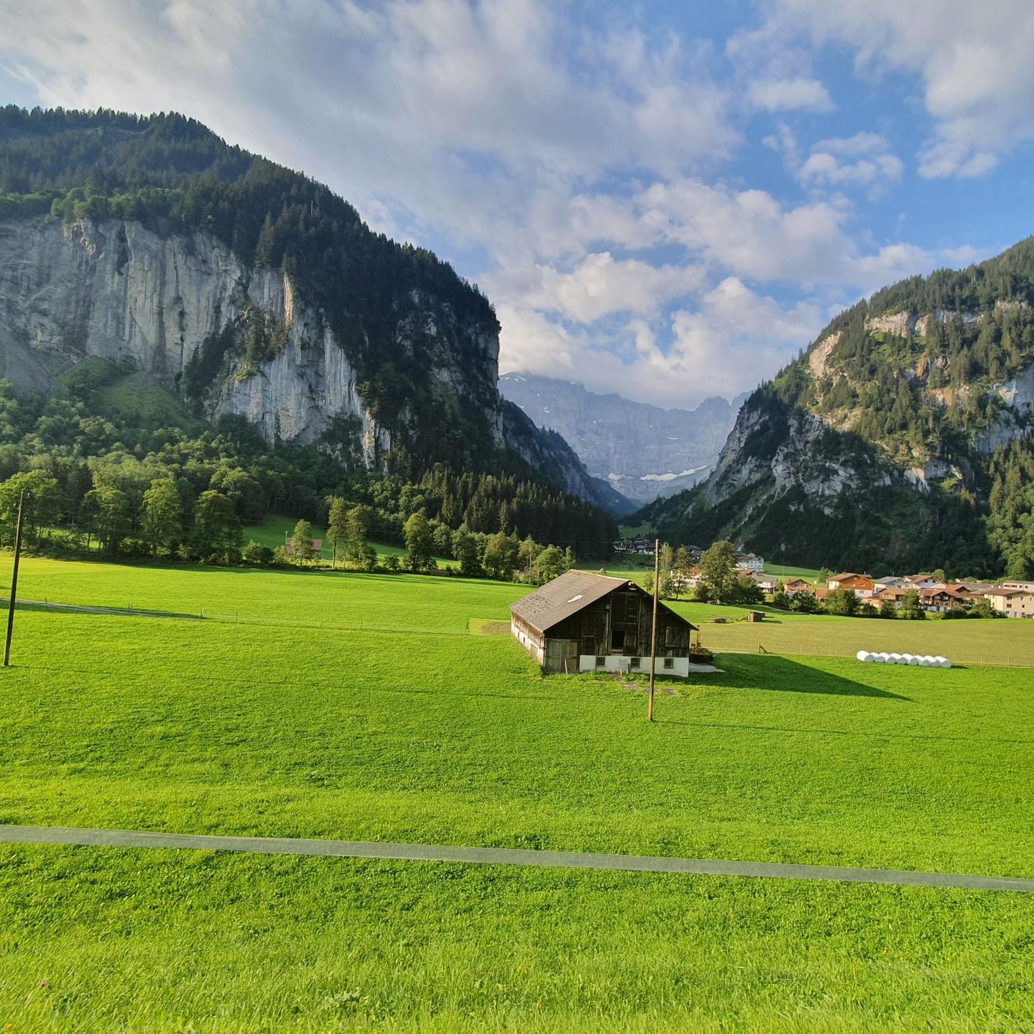
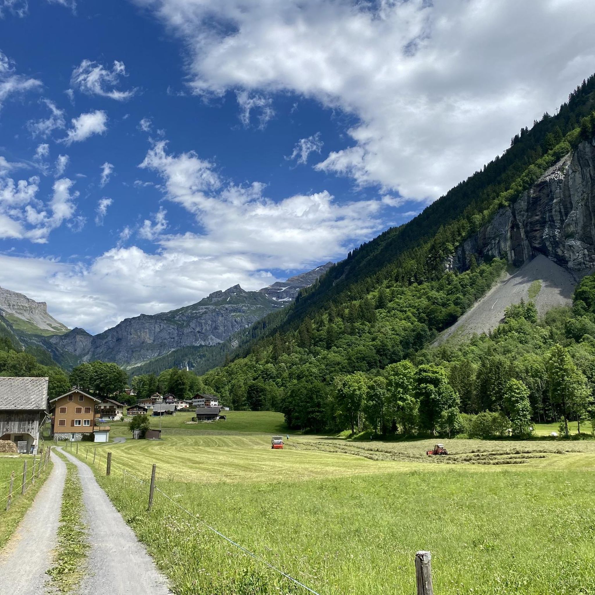
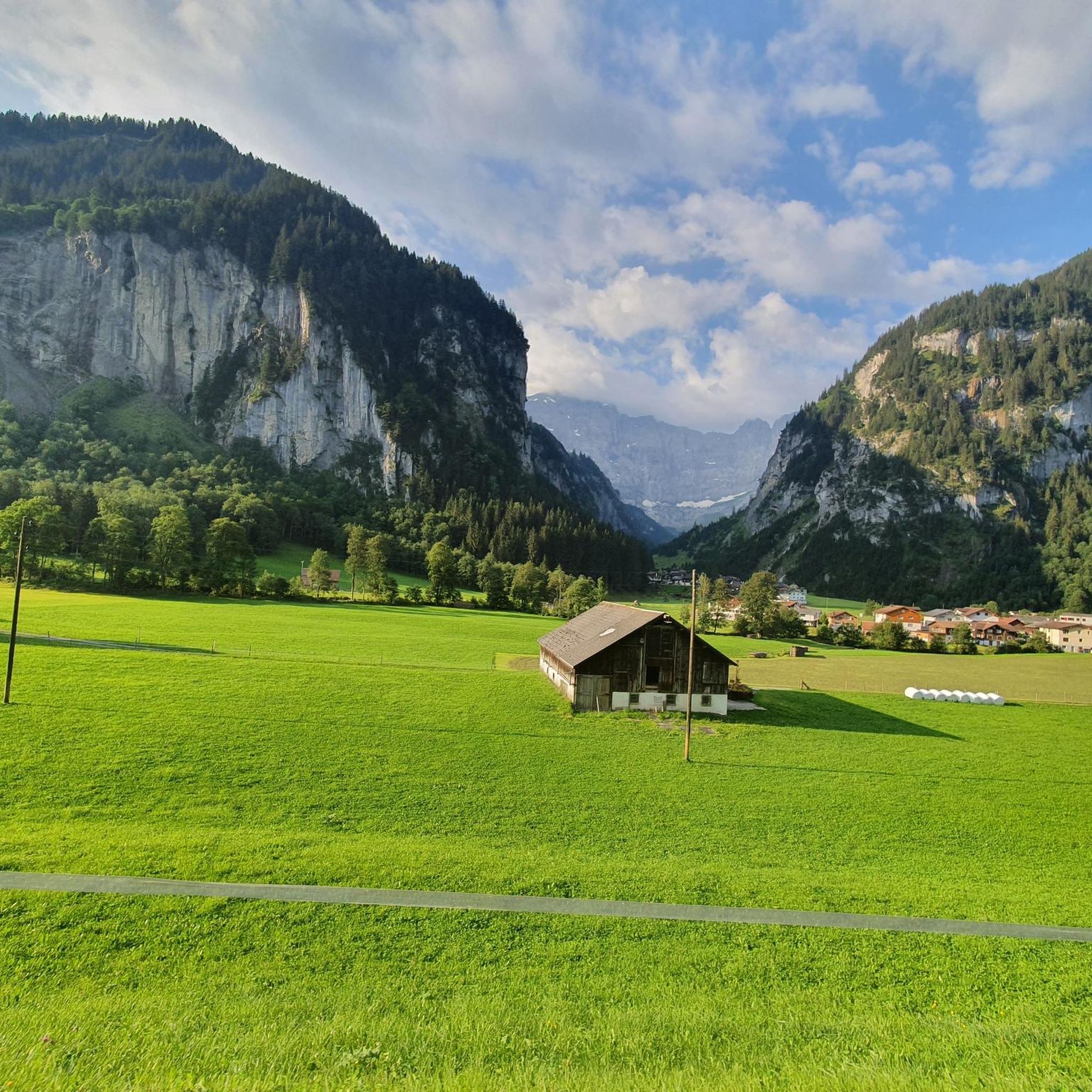
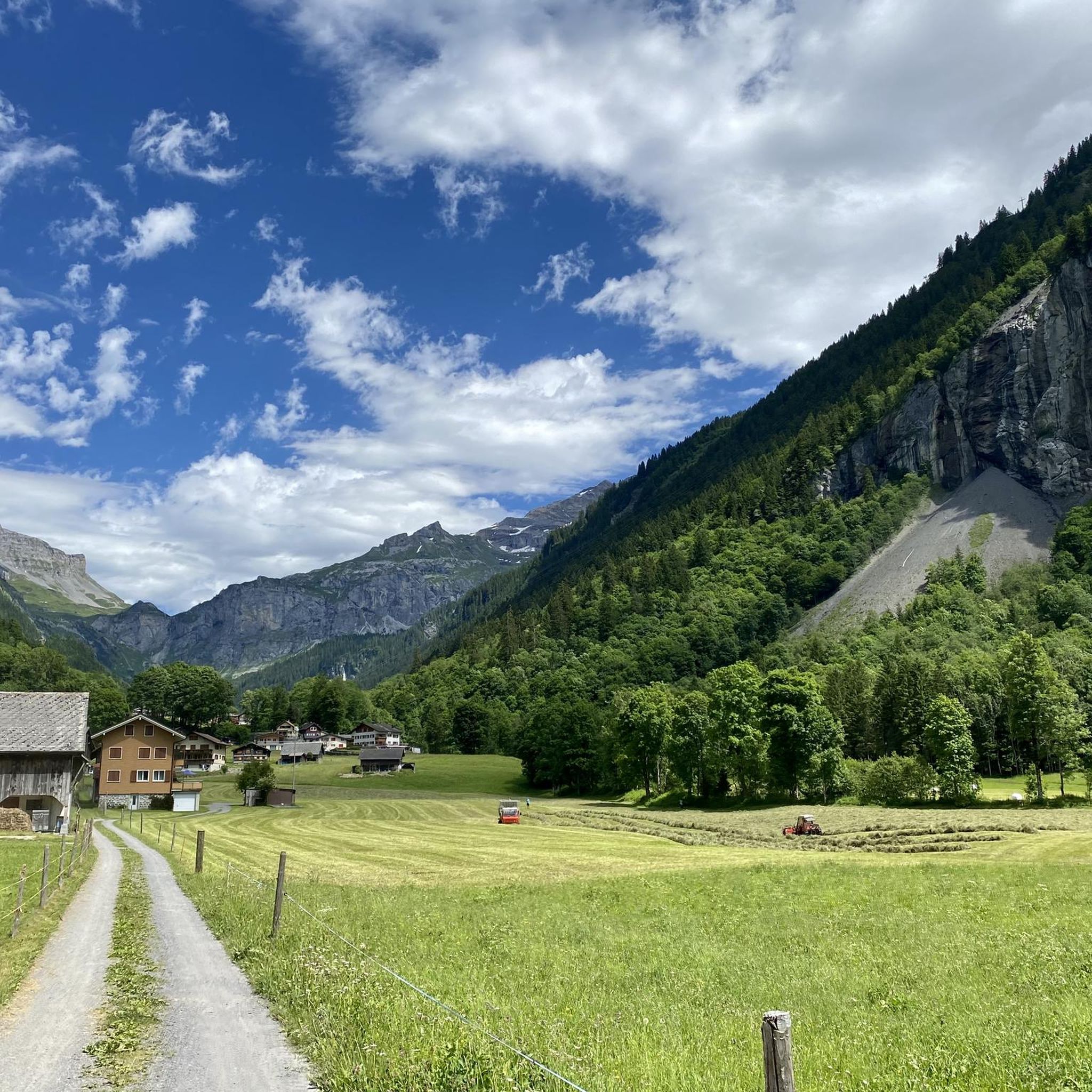
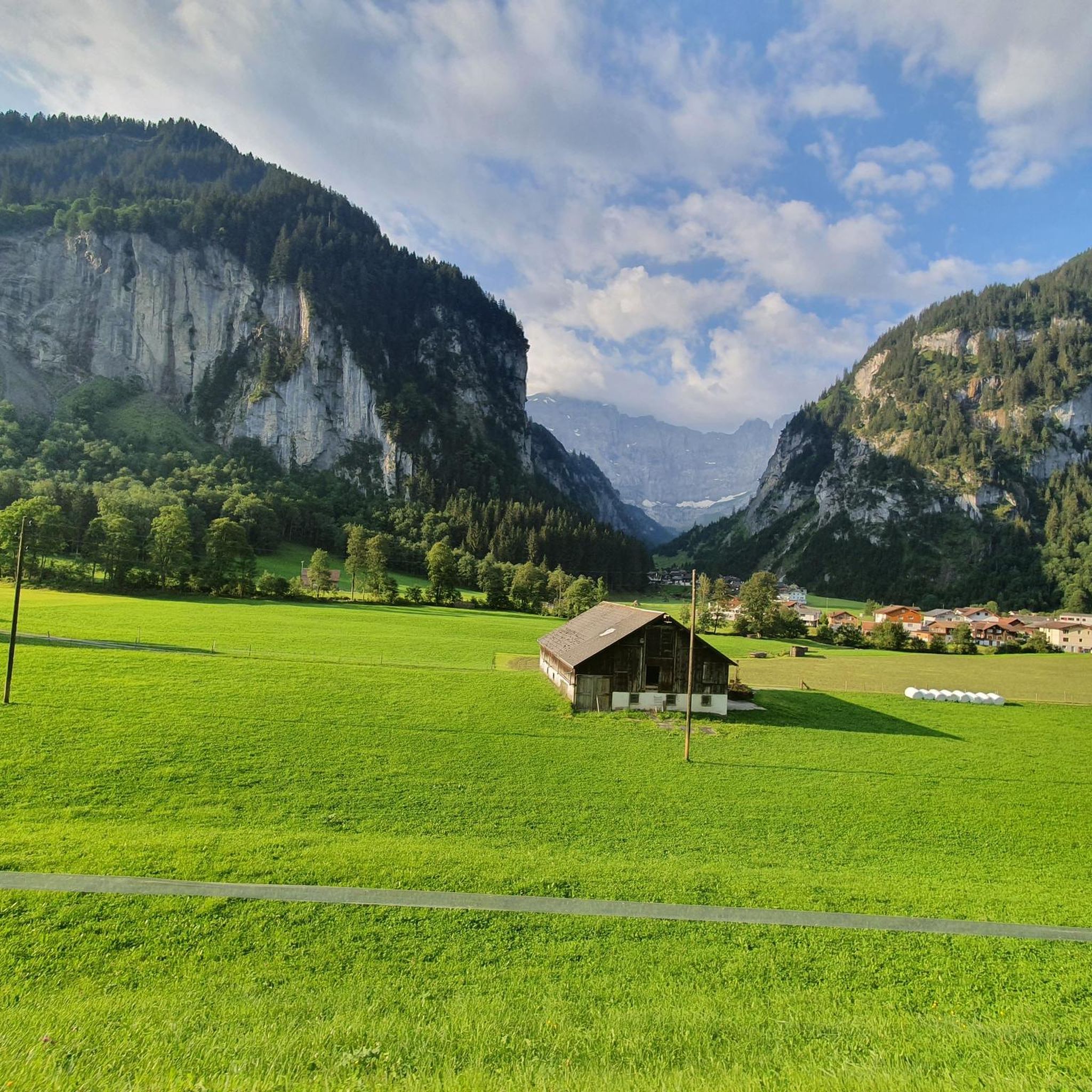
Mountaineering routes around Unterschächen traverse dramatic alpine landscapes within Switzerland's Canton Uri, characterized by towering peaks and the pristine Schächental Valley. The region features significant geographical elements like the Klausen Pass and the powerful Stäubifall waterfall. Alpine streams feed the Schächen river, contributing to the valley's natural beauty and providing a challenging environment for mountaineering.
Best mountaineering routes around Unterschächen
- The most popular mountaineering route is Clariden – Iswändli Glacier Entry Point loop from Klausenpass, a 7.1 miles (11.5 km) trail that takes 8 hours 39 minutes to complete. This difficult route offers access to glacier terrain from a high alpine pass.
- Another top favourite among local mountaineers is Grosses Loch (Uri) – Gemsfairenstock (2,972 m) loop from Fisetenpass, a difficult 8.6 miles (13.9 km) path. This route leads to a prominent summit, providing expansive views of the surrounding alpine scenery.
- Local mountaineers also love the Chli Bristen Summit Cross – Bristensee loop from Bristen, Talstation Golzern, an 8.6 miles (13.9 km) trail leading through high alpine terrain and past mountain lakes, often completed in about 6 hours 21 minutes.
- Mountaineering around Unterschächen is defined by dramatic alpine landscapes, towering peaks, and the pristine Schächental Valley. The network offers options for both moderate and difficult ability levels.
- The routes in Unterschächen are highly rated by the komoot community with an average score of 4.96 stars from over 20 reviews. More than 300 mountaineers have used komoot to explore Unterschächen's varied terrain.
Last updated: August 17, 2026
4.8
(5)
108
hikers
11.5km
08:40
1,240m
1,240m
Hard mountaineering route. Very good fitness required. Sure-footedness, sturdy shoes and alpine experience required.
18
hikers
13.9km
07:42
1,040m
1,040m
Hard mountaineering route. Very good fitness required. Sure-footedness, sturdy shoes and alpine experience required.

Sign up for free
10
hikers
13.9km
06:22
1,340m
1,350m
Hard mountaineering route. Very good fitness required. Sure-footedness, sturdy shoes and alpine experience required.
5.0
(1)
8
hikers
12.4km
05:33
860m
860m
Hard mountaineering route. Very good fitness required. Mostly accessible paths. Sure-footedness required.
7
hikers
10.1km
06:31
1,080m
1,070m
Hard mountaineering route. Very good fitness required. Sure-footedness, sturdy shoes and alpine experience required.
Get access to more routes and recommendations from other explorers.
Sign up for free
Already have an account?
Our route recommendations are based on thousands of hikes, rides, and runs completed by other people on komoot.
Start today with a free account
Your next adventure awaits.
Login or Signup
Other adventures around Unterschächen

Tips from the Community

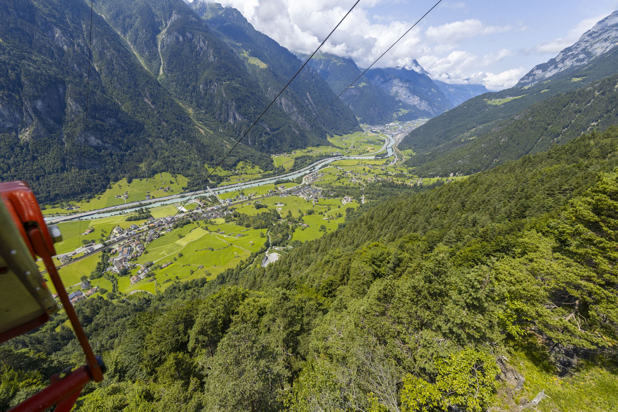
Golzern cable car The Golzern Cable Car Cooperative was founded in 1935. In 1944, the construction of the first cable car was started, and on June 23, 1945, the new cable car from Reussgrund to Hofstetten could be used for the first time. The maximum load was limited to four people per trip. Wonderful area for versatile and magnificent hikes and mountain tours. Behind the mountain village of Bristen, in the wild and romantic Maderanertal valley, is the Golzern cable car, which takes you up to the popular excursion destination Golzern at 1,400 m above sea level. From there, the nature trail leads you past fragrant mountain meadows to the picturesque Golzernsee, which invites you for a refreshing swim in the middle of an untouched natural paradise. You can reach the shore of the idyllic mountain lake even with a stroller or wheelchair. The many fire pits for "Brätlä" (barbecuing) are also very popular with young and old. From some viewpoints, the view sweeps up to the famous mountain peaks, which can be reached via the numerous hiking trails or high-alpine tours. https://www.lsb-golzern.ch/
3
0
Golzern cable car The Golzern cable car cooperative was founded in 1935. In 1944, construction of the first cable car was started, and on June 23, 1945, it was possible to travel for the first time with the new cable car from Reussgrund to Hofstetten. The maximum load was limited to four people per trip. Magnificent area for versatile and splendid hikes and mountain tours. Behind the mountain village of Bristen, in the wild and romantic Maderanertal valley, lies the Golzern cable car, which transports you to the popular excursion destination Golzern at 1,400 m above sea level. From there, the nature trail leads you past fragrant mountain meadows to the picturesque Golzernsee, which invites you for a refreshing swim in the middle of an unspoiled natural paradise. You can reach the shore of the idyllic mountain lake even with a stroller or wheelchair. Numerous fire pits for "Brätlä" (barbecuing) are also very popular with young and old. From some viewpoints, the view sweeps up to the famous mountain peaks, which can be reached via numerous hiking trails or high-alpine tours. https://www.lsb-golzern.ch/
4
0

Heatwave in Switzerland, the lake is almost empty! https://youtu.be/pzwT2zepdXM
0
0


beautiful valley to spend time outdoors
0
0
beautiful valley for spending time outdoors
0
1
beautiful valley to spend time outdoors
0
0
beautiful valley to spend time outdoors
0
0
Frequently Asked Questions
How many mountaineering routes are available in Unterschächen?
Unterschächen offers a diverse selection of over 25 mountaineering routes. While most are rated as difficult, there are also a few moderate options available for those seeking a less strenuous challenge.
What is the general difficulty level of mountaineering routes in Unterschächen?
Mountaineering in Unterschächen is primarily geared towards experienced adventurers, with 21 of the 25 routes rated as difficult. These often involve significant elevation gain, technical sections, and require surefootedness and a head for heights. However, there are also 4 moderate routes for those looking for a less demanding experience.
Are there any circular mountaineering routes in Unterschächen?
Yes, many routes in Unterschächen are designed as loops, allowing you to start and finish at the same point. For example, the Clariden – Iswändli Glacier Entry Point loop from Klausenpass offers a challenging circular experience, as does the Grosses Loch (Uri) – Gemsfairenstock (2,972 m) loop from Fisetenpass.
What kind of natural attractions can I expect to see along the mountaineering routes?
The routes around Unterschächen traverse dramatic alpine landscapes. You'll encounter stunning mountain peaks like the Chaiserstock Summit and Druesberg Summit, offering phenomenal 360-degree panoramas. The region is also home to beautiful alpine lakes such as Arnisee (Lake Arni), Fleschsee, and Glattalpsee, providing picturesque resting spots.
Are there any prominent waterfalls in the Unterschächen area?
Absolutely. The region is famous for the Stäubifall (also known as Staubifall or Stauber Waterfall), which is considered one of Switzerland's most beautiful waterfalls. This powerful cascade tumbles down steep mountainsides, creating a dramatic backdrop to the Schächental Valley and is often visible from various trails.
Can I access higher elevations and hiking routes using cable cars?
Yes, Unterschächen offers several cable car options to help you reach higher elevations and access panoramic hiking routes more easily. These include the Seilbahn Ribi Wannelen, Sittlisalp Cable Car, and Aesch Oberalp Cable Car, some of which provide unique open-air experiences.
Are there mountain huts available for overnight stays or refreshments along the routes?
Yes, several mountain huts serve as excellent staging points for multi-day tours or simply for a break and refreshments. The Windgällen Hut SAC is a popular choice, known for its welcoming atmosphere. The Lidernen Hut (SAC) is another well-regarded option, often praised for its friendly service and delicious Linzer cake.
What do other mountaineers say about the routes in Unterschächen?
The mountaineering routes in Unterschächen are highly regarded by the komoot community, boasting an impressive average rating of 4.96 stars from over 29 reviews. Many users praise the dramatic alpine landscapes, challenging terrain, and the rewarding panoramic views from the summits.
Are there any routes suitable for beginners in mountaineering?
While most routes are rated difficult, there are 4 moderate options that could be more suitable for those with less mountaineering experience but still a good level of fitness. These routes offer a taste of the alpine environment without the extreme technical demands of the more challenging ascents.
What is the best time of year for mountaineering in Unterschächen?
The prime season for mountaineering in Unterschächen typically runs from late spring through early autumn (June to September), when the trails are generally free of snow and weather conditions are more stable. Always check local weather forecasts and trail conditions before heading out, especially in the shoulder seasons.
Are there any specific viewpoints I should look out for?
Many of the routes offer incredible vistas. The Druesberg Summit is particularly noted for its phenomenal 360-degree panorama. Additionally, areas like Eggberge provide excellent vantage points over the surrounding alpine scenery.
Most popular routes around Unterschächen
Most popular attractions around Unterschächen

Get inspired with the komoot mobile app


Explore more
Browse the best Mountain Hikes & Routes in other regions.
