The best mountain hikes around Sorengo
5.0
(9)
76
hikers
7
hikes
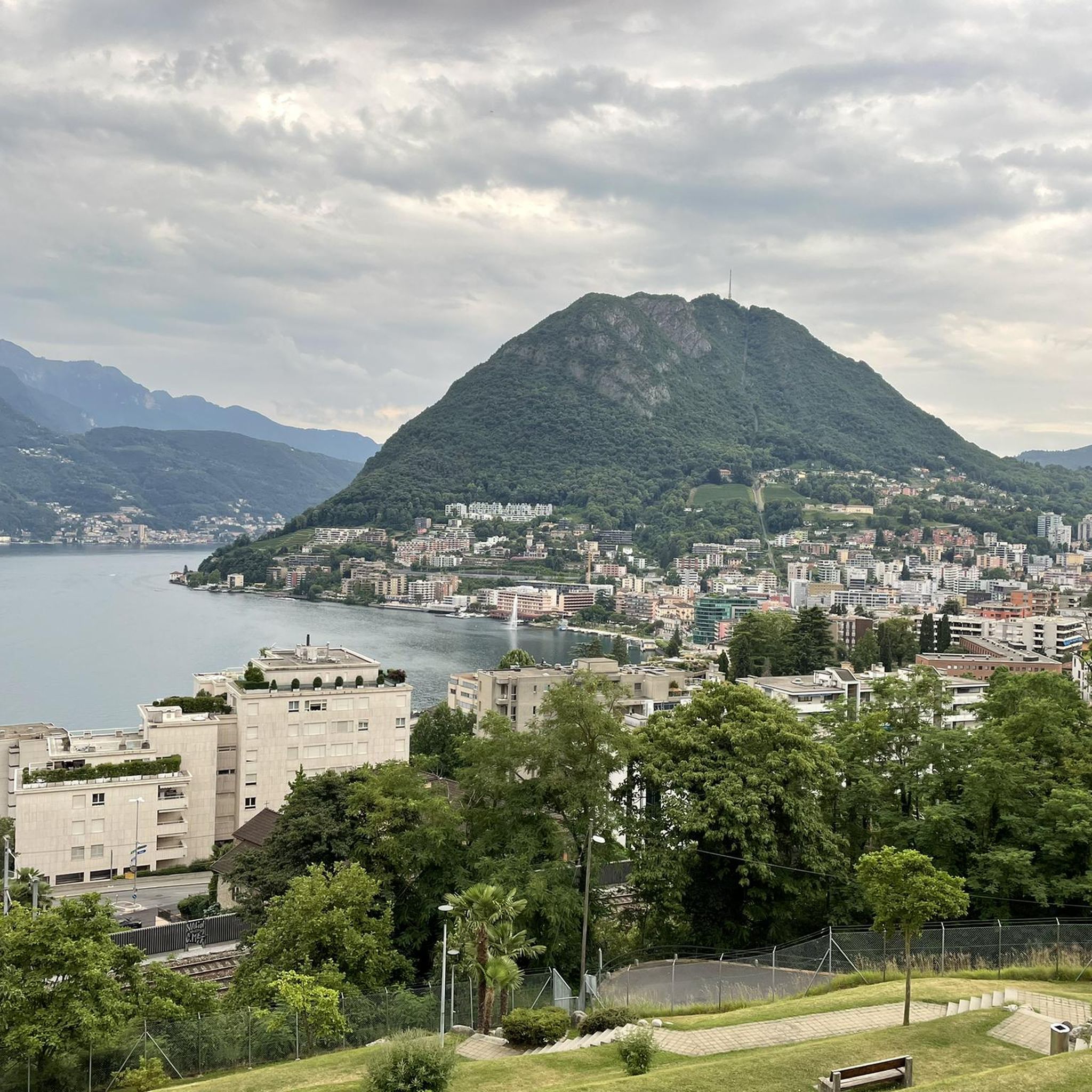
Mountaineering routes around Sorengo, a municipality in the district of Lugano, Switzerland, are characterized by diverse mountainous terrain and proximity to Lake Lugano. The region features prominent peaks such as Monte San Salvatore, Monte Generoso, and Monte Lema, providing varied ascents and panoramic views. Dense forests and green spaces also define the landscape, offering shaded trails and natural environments for exploration.
Best mountaineering routes around Sorengo
- The most popular mountaineering route is Monte San Salvatore – Puntobelvedere loop from Pazzallo…
Last updated: October 14, 2026
4.8
(5)
40
hikers
4.39km
02:14
350m
350m
Hard mountaineering route. Good fitness required. Sure-footedness, sturdy shoes and alpine experience required.
5.0
(1)
9
hikers
13.6km
07:07
1,190m
1,190m
Hard mountaineering route. Very good fitness required. Sure-footedness, sturdy shoes and alpine experience required.

5.0
(1)
6
hikers
11.2km
06:36
1,150m
1,150m
Hard mountaineering route. Very good fitness required. Sure-footedness, sturdy shoes and alpine experience required.
5
hikers
11.7km
05:20
900m
900m
Hard mountaineering route. Very good fitness required. Mostly accessible paths. Sure-footedness required.
5.0
(1)
5
hikers
4.26km
01:48
260m
260m
Moderate mountaineering route. Great for any fitness level. Mostly accessible paths. Sure-footedness required.
Get access to more routes and recommendations from other explorers.
Already have an account?
Our route recommendations are based on thousands of hikes, rides, and runs completed by other people on komoot.
Start today with a free account
Your next adventure awaits.

Tips from the Community

Very nice Ticino village. Accessible by Postauto.
0
0

Beautiful 360° view
0
0
On the path to Mount Generoso
0
0
Italy-Switzerland border
0
0
From the top you can enjoy a 360° panorama of the Alps, the mountains of Valsassina, Lugano and the plain.
0
0

Nice and cozy restaurant on the summit
8
0
Trips every 30 minutes
8
0
Frequently Asked Questions
How many mountaineering routes are available around Sorengo?
There are 9 mountaineering routes around Sorengo, offering a range of experiences from moderate to difficult. These trails allow you to explore the diverse mountainous terrain and enjoy stunning views of Lake Lugano and the surrounding peaks.
What are the difficulty levels of mountaineering routes in Sorengo?
The mountaineering routes around Sorengo cater to various skill levels. You'll find 3 moderate routes, perfect for those seeking a less strenuous ascent, and 6 difficult routes for experienced mountaineers looking for more challenging climbs and significant elevation gains.
Are there any circular mountaineering routes near Sorengo?
Yes, several routes are circular, allowing you to start and end in the same location. For example, the Monte San Salvatore – Puntobelvedere loop from Pazzallo is a moderate option, while the Sasso Rosso – Monte Boglia loop from Brè sopra Lugano offers a more challenging circular experience. Another great option is the View of Lake Lugano – Monte Generoso Alpine Route loop from Val Mara.
What kind of views can I expect on mountaineering routes around Sorengo?
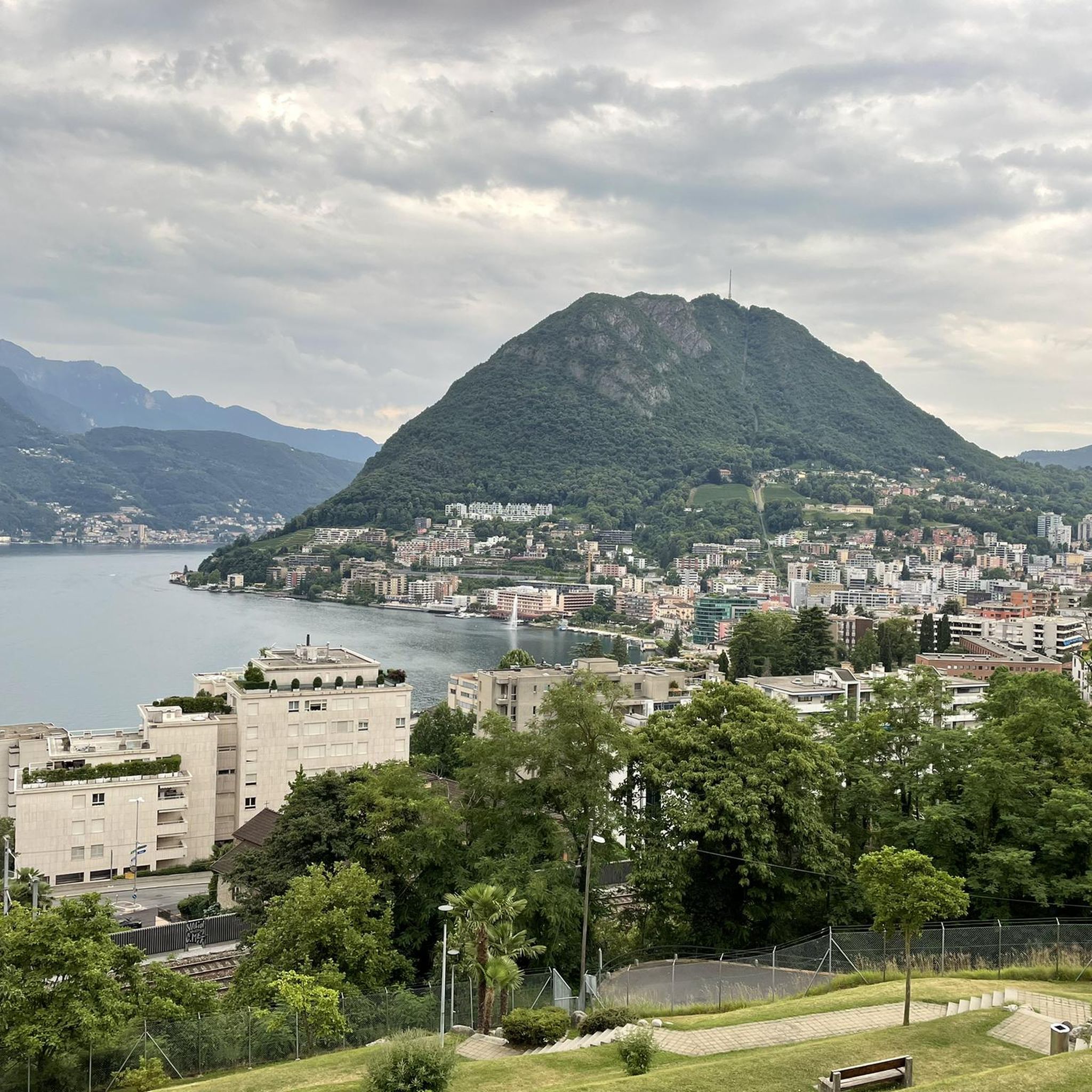
Mountaineering routes around Sorengo are renowned for their breathtaking panoramic views. You can expect to see the serpentine shape of Lake Lugano, the surrounding 'sea of peaks and valleys' including Monte San Salvatore, Monte Generoso, and Monte Lema, and on clear days, even the skyscrapers of Milan and the entire Alpine range from higher elevations like Monte Generoso.
What are some notable landmarks or attractions near the mountaineering trails?
Beyond the trails, the region offers several points of interest. You can explore historical sites like the Redde Tower or Villa Ciani. For a unique experience, visit the charming Morcote Village, known as the 'Pearl of Ceresio,' or discover the hidden Ruins of Meriggino Castle.
Are there any places to eat or stay overnight along the routes?
Yes, there are several huts and restaurants that can serve as rest stops or overnight accommodations. You might find options like the Vicania Restaurant, the Monte Lema Summit Hostel, or the Cima Pianca Alpine Pasture. These spots offer a chance to refuel and enjoy the mountain atmosphere.
What do other mountaineers say about the routes in Sorengo?
The mountaineering routes in Sorengo are highly rated by the komoot community, with an average score of 5.0 stars from over 8 reviews. Mountaineers often praise the diverse terrain, the stunning views of Lake Lugano, and the well-maintained paths that lead through both dense forests and open alpine landscapes.
Are there any moderate mountaineering routes suitable for those new to the sport?
For those looking for a moderate challenge, the Monte San Salvatore – Puntobelvedere loop from Pazzallo is an excellent choice. Another moderate option is the Monte San Salvatore loop from Lago di Lugano, both offering rewarding views without extreme difficulty.
Which routes offer a challenging mountaineering experience?
For advanced mountaineers, the region provides several difficult routes. The Sasso Rosso – Monte Boglia loop from Brè sopra Lugano and the View of Lake Lugano – Monte Generoso Alpine Route loop from Val Mara are both demanding trails with significant elevation gain. Another challenging option is the Ristorante Ostello Vetta – Monte Lema loop from Miglieglia.
What kind of natural features define the mountaineering landscape around Sorengo?
The landscape around Sorengo is characterized by magnificent mountains like Monte San Salvatore and Monte Generoso, offering dramatic backdrops and challenging ascents. The proximity to Lake Lugano provides stunning water views, while extensive forested areas and green spaces offer shaded and serene environments for exploration.
Can I reach any of the mountain summits by other means if I prefer a less strenuous ascent?
Yes, for peaks like Monte San Salvatore and Monte Generoso, you have alternative options. Monte San Salvatore is accessible via a funicular, providing a less strenuous way to reach its summit and enjoy the spectacular 360-degree views. Similarly, a panoramic train ascends Monte Generoso, offering clear-day views of the main lakes and the Alps without the need for a full mountaineering ascent.
Most popular routes around Sorengo
Most popular attractions around Sorengo

Get inspired with the komoot mobile app


Explore more
Browse the best Mountain Hikes & Routes in other regions.
