The best mountain hikes around Orselina
4.7
(6)
46
hikers
2
hikes
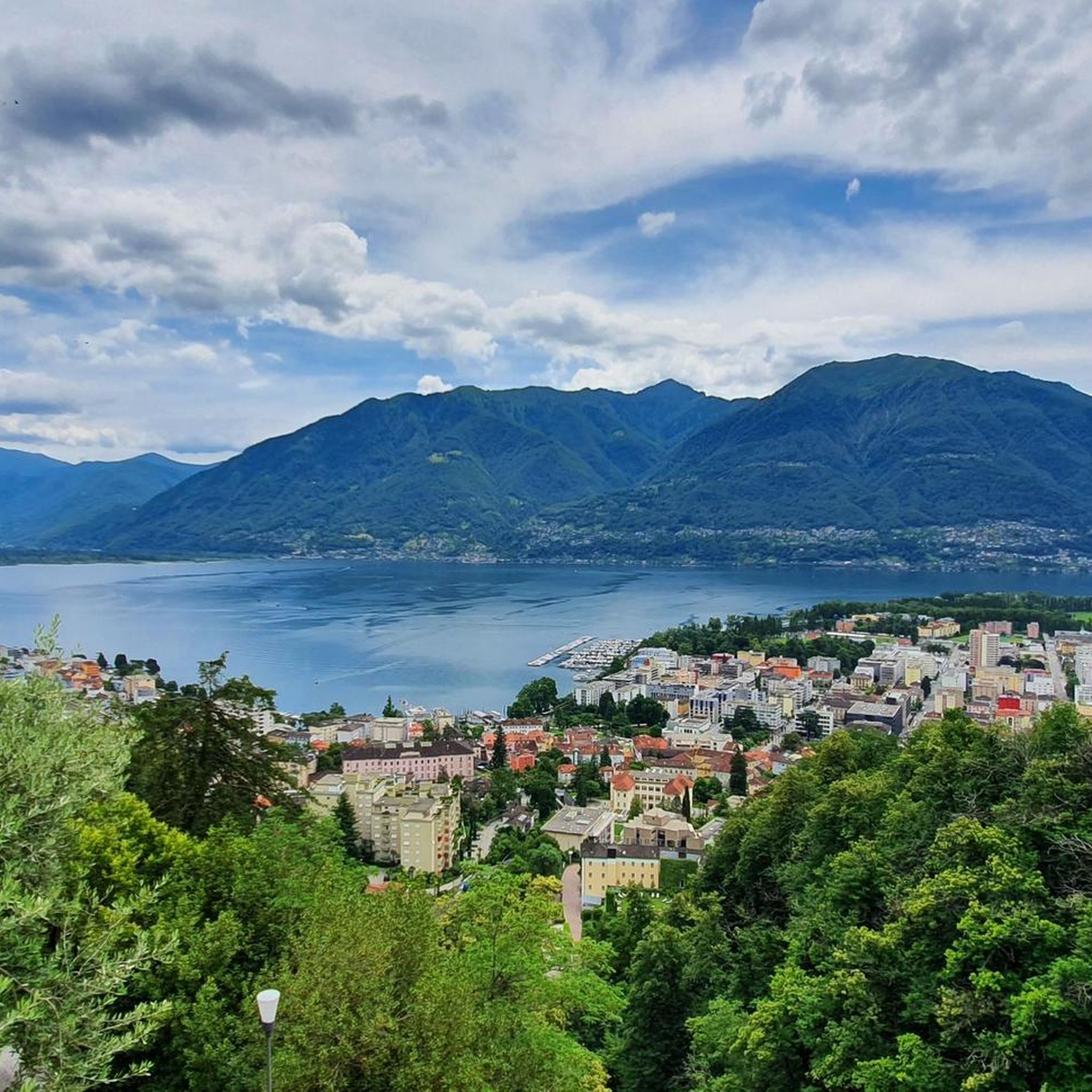
Mountaineering routes around Orselina are set within the dramatic landscapes of Switzerland's Ticino canton, offering panoramic views and varied terrain. The region features significant elevation changes, with routes traversing forests, alpine meadows, and rocky formations. Key areas like Cardada Cimetta provide expansive vistas of Lake Maggiore and the surrounding valleys, making it a prime destination for challenging ascents.
Best mountaineering routes around Orselina
- The most popular mountaineering route is Sassariente Summit Cross loop from Gordola, a 5.9 miles (9.5…
Last updated: August 21, 2026
18
hikers
9.80km
04:26
590m
590m
Moderate mountaineering route. Good fitness required. Mostly accessible paths. Sure-footedness required.
4.0
(2)
12
hikers
9.56km
04:28
690m
690m
Hard mountaineering route. Good fitness required. Sure-footedness, sturdy shoes and alpine experience required.

Sign up for free
5.0
(1)
7
hikers
6.29km
03:18
520m
520m
Moderate mountaineering route. Good fitness required. Mostly accessible paths. Sure-footedness required.
5.0
(3)
8
hikers
Moderate mountaineering route. Good fitness required. Mostly accessible paths. Sure-footedness required.
1
hikers
15.4km
07:26
1,160m
1,160m
Hard mountaineering route. Very good fitness required. Sure-footedness, sturdy shoes and alpine experience required.
Our route recommendations are based on thousands of hikes, rides, and runs completed by other people on komoot.
Start today with a free account
Your next adventure awaits.
Login or Signup
Other adventures around Orselina

Tips from the Community


Perfect end after a hike for refreshments. Small menu with soup, polenta, risotto and homemade cake. https://www.montimotti.ch
0
0

Beautiful bathing spot at the far end of the valley
4
0

One of the many wells in town. I'm not sure if it's drinking water.
0
0

The Cugnasco-Monti di Motti road was built as a military road during the First World War. After a 12 km climb on a narrow but well-maintained road, you reach Monti di Motti, a magnificent cluster of houses on a small lake with breathtaking views of the Verzasca Valley, the Magadino Plain, Monte Tamaro and Lake Maggiore. The grotto and the lake make this mountain an ideal destination for families who want to spend a day surrounded by nature. Several interesting excursions start from here, including one to the picturesque Sassariente
1
0

View of Lake Maggiore and the Monte Rosa mountain range
0
0

Beautiful little settlement. An asphalt road leads here. Starting point for challenging MTB descents towards Lago di Vogorno.
0
0
A fountain in the center of Maggia. Whether this is drinking water is unclear. It's located directly in a parking lot. There's a place to stop for refreshments nearby.
0
0
Frequently Asked Questions
What kind of mountaineering routes can I expect around Orselina?
The region around Orselina offers a diverse range of mountaineering routes, characterized by dramatic landscapes and significant elevation changes. You'll find trails traversing dense forests, open alpine meadows, and challenging rocky formations. Routes vary from moderate ascents to difficult, multi-hour treks requiring good fitness and alpine experience.
How many mountaineering routes are available in the Orselina area?
There are 7 dedicated mountaineering routes around Orselina, with 2 classified as moderate and 5 as difficult, providing options for various skill levels.
Are there any circular mountaineering routes near Orselina?
Yes, several routes are designed as loops, allowing you to start and end in the same location. For example, you could try the Sassariente Summit Cross loop from Gordola, a challenging 9.5 km route, or the more moderate Pizzo Leone loop from Ronco sopra Ascona, which is 8.3 km long.
What are the best viewpoints or natural features to see on these routes?
Many routes offer spectacular views. The Sassariente Summit Cross loop from Gordola provides wide-ranging views from a prominent summit. The region is also known for the Cardada Cimetta area, accessible by funicular and cable car, offering expansive vistas of Lake Maggiore, Centovalli, and Vallemaggia, where you can see Switzerland's lowest and highest points simultaneously. The Verzasca Valley, with its wild environment and the historic Ponte dei Salti, is another natural highlight nearby.
What do other mountaineers say about the routes in Orselina?
The mountaineering routes in Orselina are highly regarded by the komoot community, holding an impressive average rating of 4.8 stars from over 12 reviews. Mountaineers often praise the dramatic landscapes, the panoramic views of Lake Maggiore, and the diverse terrain that makes each route a unique experience.
Are there any longer, more challenging mountaineering options?
Absolutely. For those seeking a significant challenge, the Mountaineering loop from Tegna covers 13.5 km and typically takes around 4 hours 55 minutes. Another demanding option is the Ridge Climbing in Ticino – Sassariente Summit Cross loop from Lavertezzo, an 11 km route with substantial elevation gain, often completed in over 5 hours.
What kind of landmarks or historical sites can I visit near the mountaineering routes?
Beyond the natural beauty, you can explore several historical sites. The stunning Visconti Castle and the San Materno Castle Museum are notable historical attractions. The Iron House and Fortezza di Pro also offer glimpses into the region's past. Additionally, the Sanctuary of Madonna del Sasso is a significant religious site with panoramic views.
What is the best time of year for mountaineering in Orselina?
The best time for mountaineering in Orselina is generally from spring through autumn. During these seasons, the weather is more stable, and the trails are free of snow, allowing for safe and enjoyable ascents. Always check local weather conditions before heading out, as alpine weather can change rapidly.
Are there any mountain huts or places to eat along the routes?
Yes, mountain huts are scattered throughout the landscape around Orselina. These huts often provide regional specialties and a welcome place to rest and refuel during or after your mountaineering adventures.
What are the typical durations for mountaineering routes in this area?
The duration of mountaineering routes around Orselina varies depending on the trail's length and difficulty. Moderate routes like the Pizzo Leone loop from Ronco sopra Ascona can take around 3 hours 12 minutes, while more difficult and longer routes, such as the Ridge Climbing in Ticino – Sassariente Summit Cross loop from Lavertezzo, may require over 5 hours to complete.
Is public transport available to reach the trailheads?
Orselina's strategic location and the surrounding region are well-connected. Public transport options, including funiculars and cable cars to areas like Cardada Cimetta, can help you access various starting points for hikes and mountaineering routes. It's advisable to check local transport schedules for specific trailheads.
Most popular routes around Orselina
Most popular attractions around Orselina

Get inspired with the komoot mobile app


Explore more
Browse the best Mountain Hikes & Routes in other regions.
