The best mountain hikes around Origlio
4.9
(7)
67
hikers
5
hikes
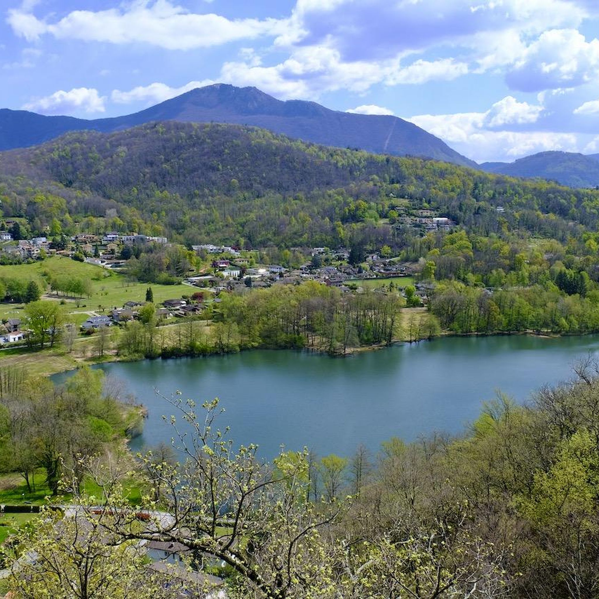
Mountaineering routes around Origlio are characterized by varied mountainous terrain within the Distretto di Lugano, featuring prominent peaks and significant elevation changes. The region offers routes that traverse forested slopes and ascend to panoramic viewpoints. This area provides a range of challenges for mountaineers seeking diverse alpine experiences.
Best mountaineering routes around Origlio
- The most popular mountaineering route is Monte San Salvatore – Puntobelvedere loop from Pazzallo, a 3.0 miles (4.8 km) trail that takes 2 hours 20 minutes…
Last updated: August 21, 2026
4.8
(5)
40
hikers
4.39km
02:14
350m
350m
Hard mountaineering route. Good fitness required. Sure-footedness, sturdy shoes and alpine experience required.
6
hikers
Moderate mountaineering route. Good fitness required. Mostly accessible paths. Sure-footedness required.

Sign up for free
5
hikers
11.7km
05:20
900m
900m
Hard mountaineering route. Very good fitness required. Mostly accessible paths. Sure-footedness required.
7
hikers
6.88km
02:57
410m
410m
Hard mountaineering route. Good fitness required. Sure-footedness, sturdy shoes and alpine experience required.
5.0
(1)
4
hikers
8.78km
03:34
500m
500m
Moderate mountaineering route. Good fitness required. Mostly accessible paths. Sure-footedness required.
Our route recommendations are based on thousands of hikes, rides, and runs completed by other people on komoot.
Start today with a free account
Your next adventure awaits.
Login or Signup

Tips from the Community

Very nice Ticino village. Accessible by Postauto.
0
0


The Capanna Tamaro is located at 1,870 meters altitude, below the Monte Tamaro. The mountain hut, managed by the Società Alpinistica Ticinese, offers simple sleeping places, regional cuisine, and a warm atmosphere. It is an ideal starting point for the ridge hike to Monte Lema or for the ascent of Monte Tamaro and delights with magnificent views of the Ticino mountain world.
4
0
scenically very great tour. Top Top Top
0
0
Scenically very great tour. Top Top Top
0
0

Which direction would I like to take? Always so many possibilities to choose from here.
0
0
Frequently Asked Questions
How many mountaineering routes are available around Origlio?
There are 7 dedicated mountaineering routes around Origlio, offering a range of experiences from moderate to difficult. These routes are highly rated by the komoot community.
What is the best time of year for mountaineering in Origlio?
The ideal time for mountaineering around Origlio is typically from late spring through early autumn (May to October). During these months, trails are generally free of snow at lower elevations, and the weather is more stable, offering better conditions for ascents and panoramic views. Always check local weather and trail conditions before heading out.
Are there any circular mountaineering routes near Origlio?
Yes, several routes offer a circular experience. For example, the Monte San Salvatore – Puntobelvedere loop from Pazzallo is a moderate option, while the Sasso Rosso – Monte Boglia loop from Brè sopra Lugano provides a more challenging circular journey with substantial elevation gain.
What kind of terrain can I expect on mountaineering routes in Origlio?
Mountaineering routes around Origlio feature varied mountainous terrain, including forested slopes, rocky paths, and ridge sections. You can expect significant elevation changes and diverse landscapes as you ascend to panoramic viewpoints.
What are some notable viewpoints or landmarks along the mountaineering routes?
Many routes offer stunning views. You can experience the View from Monte San Salvatore, or reach the summit of Monte Lema. The Summit of Monte Tamaro loop from Oratorio di Santa Maria degli Angeli also passes by the historic Saint Mary of the Angels.
Are there any routes suitable for beginners in mountaineering?
While all routes require a good level of fitness, some are less technically demanding. The Monte San Salvatore – Puntobelvedere loop from Pazzallo is rated moderate and could be a good starting point for those with some hiking experience looking to venture into mountaineering.
What are the most challenging mountaineering routes around Origlio?
For experienced mountaineers seeking a challenge, routes like the Sasso Rosso – Monte Boglia loop from Brè sopra Lugano and the Ristorante Ostello Vetta – Monte Lema loop from Miglieglia offer difficult terrain with substantial elevation gains and panoramic ridge sections.
Can I bring my dog on the mountaineering trails in Origlio?
Generally, dogs are welcome on hiking and mountaineering trails in Switzerland, but it's always advisable to keep them on a leash, especially in nature reserves or near livestock. Always check for specific local regulations or signage along your chosen route.
What do other mountaineers enjoy most about the routes in Origlio?
The routes in Origlio are highly rated by the komoot community, with an average score of 5.0 stars. Reviewers often praise the diverse terrain, the challenging ascents, and the rewarding panoramic views from prominent peaks like Monte San Salvatore and Monte Tamaro.
Are there any via ferrata routes in the area?
Yes, for those interested in via ferrata, the Via Ferrata San Salvatore – Monte San Salvatore loop from Circolo di Carona offers a challenging experience combining mountaineering with a via ferrata section.
How long do the mountaineering routes typically take to complete?
The duration of routes varies significantly based on distance and difficulty. Moderate routes like the Monte San Salvatore – Puntobelvedere loop from Pazzallo can take around 2 hours 20 minutes, while more difficult and longer routes, such as the Ristorante Ostello Vetta – Monte Lema loop from Miglieglia, may require over 5 hours.
What kind of gear is recommended for mountaineering in Origlio?
For mountaineering in Origlio, it's essential to have appropriate gear, including sturdy hiking boots, weather-appropriate clothing (layers are key), a backpack with water and snacks, a map or GPS device, and sun protection. For more challenging routes or via ferrata, specialized equipment like helmets, harnesses, and via ferrata sets may be necessary.
Most popular routes around Origlio
Most popular attractions around Origlio

Get inspired with the komoot mobile app


Explore more
Browse the best Mountain Hikes & Routes in other regions.
