The best walks and hikes around Létricourt
4.7
(87)
344
hikers
54
hikes
Hiking around Létricourt offers access to the diverse landscapes of the Lorraine Regional Natural Park, an expansive territory known for its natural and cultural heritage. The region is characterized by deciduous forests, rivers, ponds, and wooded hills, providing varied terrain for outdoor activities. Hikers can explore a network of trails that traverse open panoramas and dense woodlands, revealing the rich ecosystems of Eastern France. This area provides a balance of biodiversity preservation and accessible routes for nature enthusiasts.
Best hiking…
Last updated: July 5, 2026
5.0
(1)
15
hikers
11.2km
03:15
290m
290m
Moderate hike. Good fitness required. Easily-accessible paths. Suitable for all skill levels.
5.0
(4)
17
hikers
6.70km
01:47
70m
70m
Easy hike. Great for any fitness level. Easily-accessible paths. Suitable for all skill levels.

Sign up for free
5.0
(4)
17
hikers
7.41km
02:01
110m
110m
Moderate hike. Good fitness required. Easily-accessible paths. Suitable for all skill levels.
4.8
(5)
11
hikers
Hard hike. Very good fitness required. Easily-accessible paths. Suitable for all skill levels.
5.0
(1)
10
hikers
12.9km
03:41
290m
290m
Moderate hike. Good fitness required. Easily-accessible paths. Suitable for all skill levels.
Get access to more routes and recommendations from other explorers.
Sign up for free
Already have an account?
Our route recommendations are based on thousands of hikes, rides, and runs completed by other people on komoot.
Start today with a free account
Your next adventure awaits.
Login or Signup


Tips from the Community

This old road, which already appears on the Cassini map (1760), is part of a network of rolling paths which allow you to cross the Bois de Faux plateau and reach all the villages.
0
0

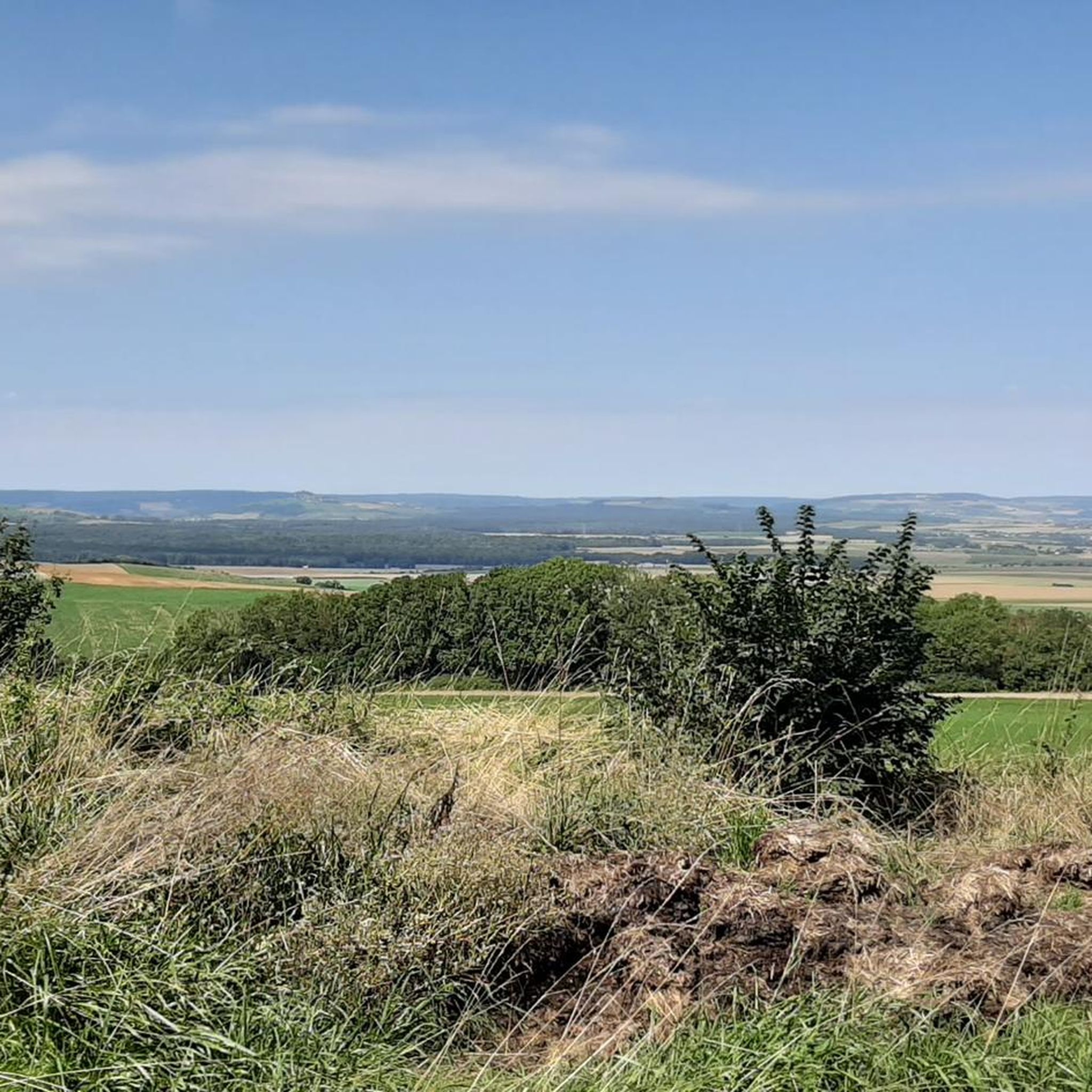
Magnificent south-facing view
0
0

Culminating at an altitude of 400 meters, the Côte de Delme has more than 100 ha of limestone lawns offering an unobstructed view of the Saulnois and the Nied valley. The Côte de Delme is part of a regional nature reserve. There is a picnic area at the northern entrance to the reserve.
0
0

A place of calm and strength.
1
0
Just let it work. A place of rest.
0
0
The Kruft made us very happy. Everything is still in very original condition.
0
0
The Kruft made us very happy. Everything is not very original.
0
0
A beautiful hike in the Nancy area that connects three old chapels that present interesting details: Priory of Blanzey - Amance - Laitre sous Amance. The chapel in Blanzey is originally preserved. No entrance fee.
0
0
Frequently Asked Questions
What kind of terrain can I expect when hiking around Létricourt?
The hiking trails around Létricourt primarily traverse the diverse landscapes of the Lorraine Regional Natural Park. You can expect a mix of deciduous forests, wooded hills, and open panoramas. The area offers varied terrain suitable for different skill levels, from gentle ascents to more challenging routes with significant elevation gain.
Are there family-friendly hiking options near Létricourt?
Yes, Létricourt offers several easy routes suitable for families. For instance, the Delme Hill Climb loop from Liocourt is an easy 4.2-mile (6.7 km) trail with gentle ascents, making it a good choice for a family outing.
Can I bring my dog on the hiking trails around Létricourt?
While specific regulations for dogs on trails within the Lorraine Regional Natural Park can vary, generally, dogs are welcome on most hiking paths in France, often on a leash. It's always advisable to check local signage or park guidelines for any specific restrictions before you go.
Are there any circular hiking routes available?
Many of the routes around Létricourt are designed as loops, offering convenient circular walks. For example, the Col de Vassuchamp loop from Villers-lès-Moivrons is a moderate 7.8-mile (12.5 km) trail that takes you through wooded hills and offers scenic views.
What are some interesting landmarks or natural features to see on a hike?
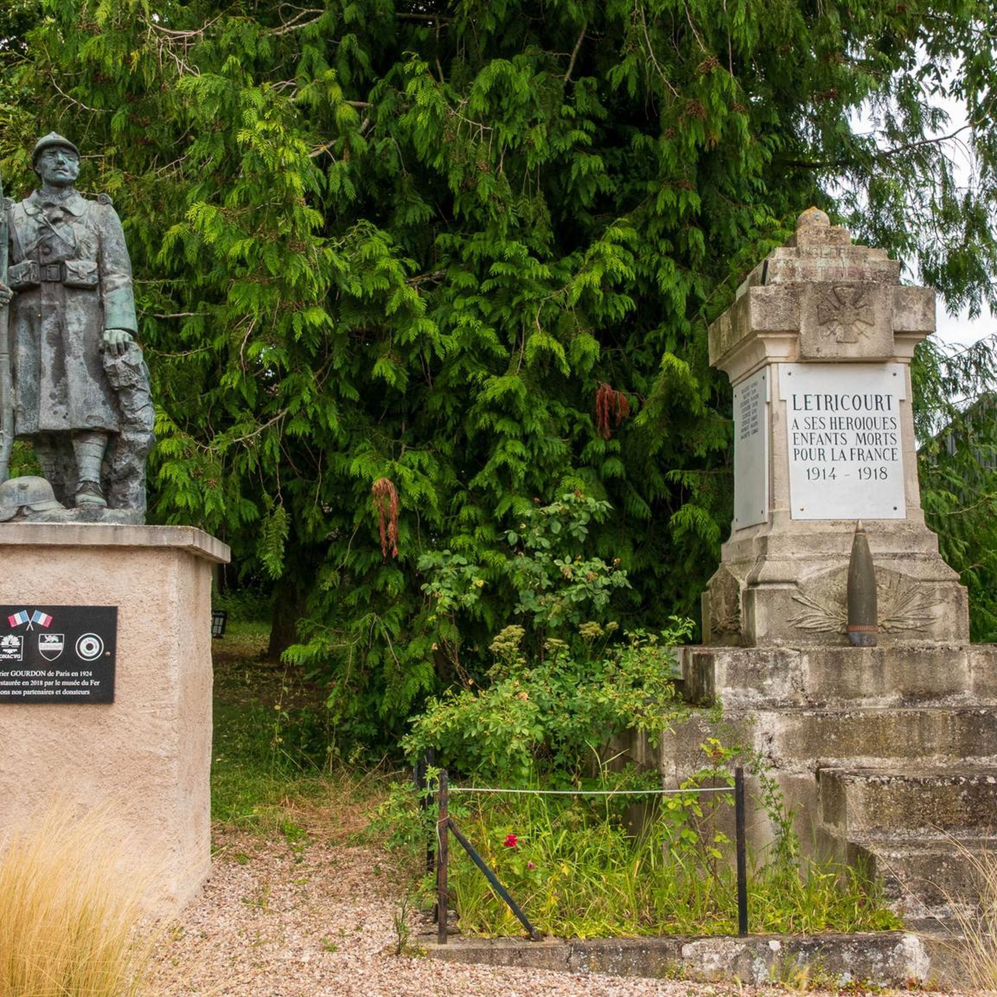
Beyond the natural beauty of the Lorraine Regional Natural Park, you can discover cultural heritage along the trails. Nearby attractions include the historic Villers-les-Prud'homme Castle and the Saint-Rémi Church & war memorial. The park itself is rich in biodiversity, with diverse flora and fauna.
What do other hikers enjoy most about hiking in Létricourt?
The hiking routes around Létricourt are highly rated by the komoot community, with an average score of 4.8 stars from over 60 reviews. Hikers often praise the varied terrain, from dense forests to open panoramas, and the well-maintained network of trails that cater to different abilities.
How many hiking trails are available in the Létricourt area?
There are over 50 hiking trails available around Létricourt, offering a wide range of options for all skill levels. This includes 15 easy routes, 35 moderate routes, and 1 difficult route, ensuring there's something for everyone.
What is the best time of year to go hiking near Létricourt?
The Lorraine Regional Natural Park, with its extensive deciduous forests, is particularly beautiful in spring when nature awakens, and in autumn when the foliage displays vibrant colors. Summer offers pleasant conditions for longer hikes, while winter can provide a unique, tranquil experience, though some trails might be more challenging.
Are there any challenging hikes for experienced trekkers?
Yes, for experienced hikers seeking a challenge, there are more difficult routes. The Unobstructed view through the forest – Blanzey Church loop from Villers-lès-Moivrons is a difficult 12.1-mile (19.4 km) path featuring significant elevation gain and traversing dense forest areas.
How accessible is the Létricourt area by public transport for hikers?
Létricourt is situated near the Lorraine Regional Natural Park, which is accessible from various points. The Pont-à-Mousson Basin, for example, serves as a readily accessible starting point for many trails within the park. For detailed public transport information to specific trailheads, it's recommended to consult local transport services.
Are there any moderate-difficulty hikes that offer good views?
Yes, a good option for a moderate hike with scenic elements is the Côte de Delme loop from Puzieux. This 4.6-mile (7.4 km) route offers a balanced challenge and opportunities to enjoy the surrounding landscape.
Where can I find more information about the Lorraine Regional Natural Park?
For more details about the expansive Lorraine Regional Natural Park and its offerings, you can visit the official tourism websites. The park is a significant natural gem in Eastern France, renowned for its rich natural and cultural heritage. You can explore more at tourisme-bassindepontamousson.fr or coeurdelorraine-tourisme.co.uk.
Most popular attractions around Létricourt

Get inspired with the komoot mobile app


Explore more
Browse the best Hikes in other regions.
