The best running trails around Faido
5.0
(1)
201
runners
21
runs
Jogging around Faido offers diverse landscapes within the Leventina Valley of Ticino, Switzerland. The region is characterized by lush, green valleys framed by impressive alpine vistas, providing a refreshing environment for runs. Joggers can find routes along the Ticino River, around picturesque alpine lakes, and through varying topography with both gentle paths and more challenging mountain trails. Many routes pass through forests, offering shaded sections and a natural atmosphere.
Best jogging routes around Faido
- The most popular jogging route is…
Last updated: June 23, 2026
7
runners
11.0km
02:00
680m
680m
Hard run. Very good fitness required. Sure-footedness, sturdy shoes and alpine experience required.
6
runners
11.3km
01:50
680m
680m
Hard run. Very good fitness required. Mostly paved surfaces. Suitable for all skill levels.

Sign up for free
4
runners
Hard run. Good fitness required. Sure-footedness, sturdy shoes and alpine experience required.
2
runners
12.7km
02:21
790m
790m
Hard run. Very good fitness required. Sure-footedness, sturdy shoes and alpine experience required.
2
runners
15.6km
02:41
1,100m
1,100m
Hard run. Very good fitness required. Mostly paved surfaces. Suitable for all skill levels.
Get access to more routes and recommendations from other explorers.
Sign up for free
Already have an account?
Our route recommendations are based on thousands of hikes, rides, and runs completed by other people on komoot.
Start today with a free account
Your next adventure awaits.
Login or Signup
Popular around Faido
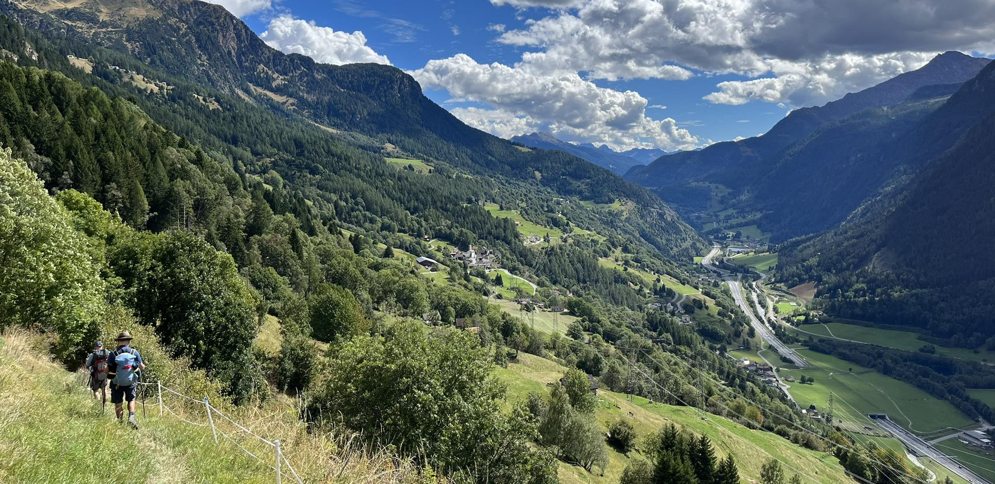
Strada alta – Hiking in the sun terrace of Switzerland

Trans Swiss Trail – Hiking across Switzerland

Via Gottardo – Following historic trails
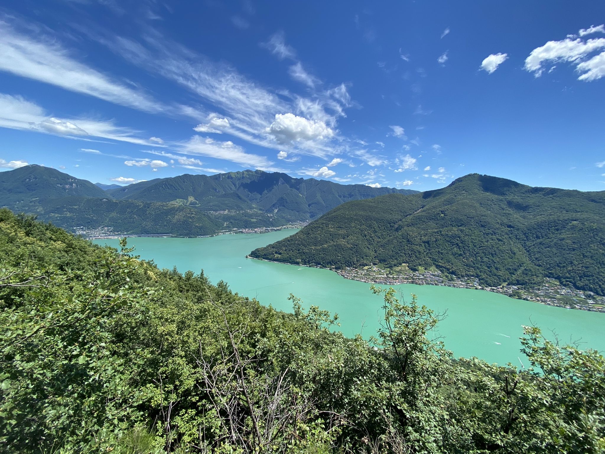
Trails with friends – komoot hiking relay through Ticino in Switzerland
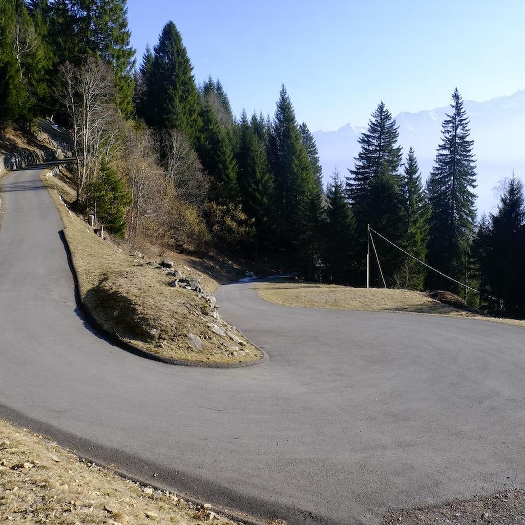
Hiking around Faido
Road Cycling Routes around Faido
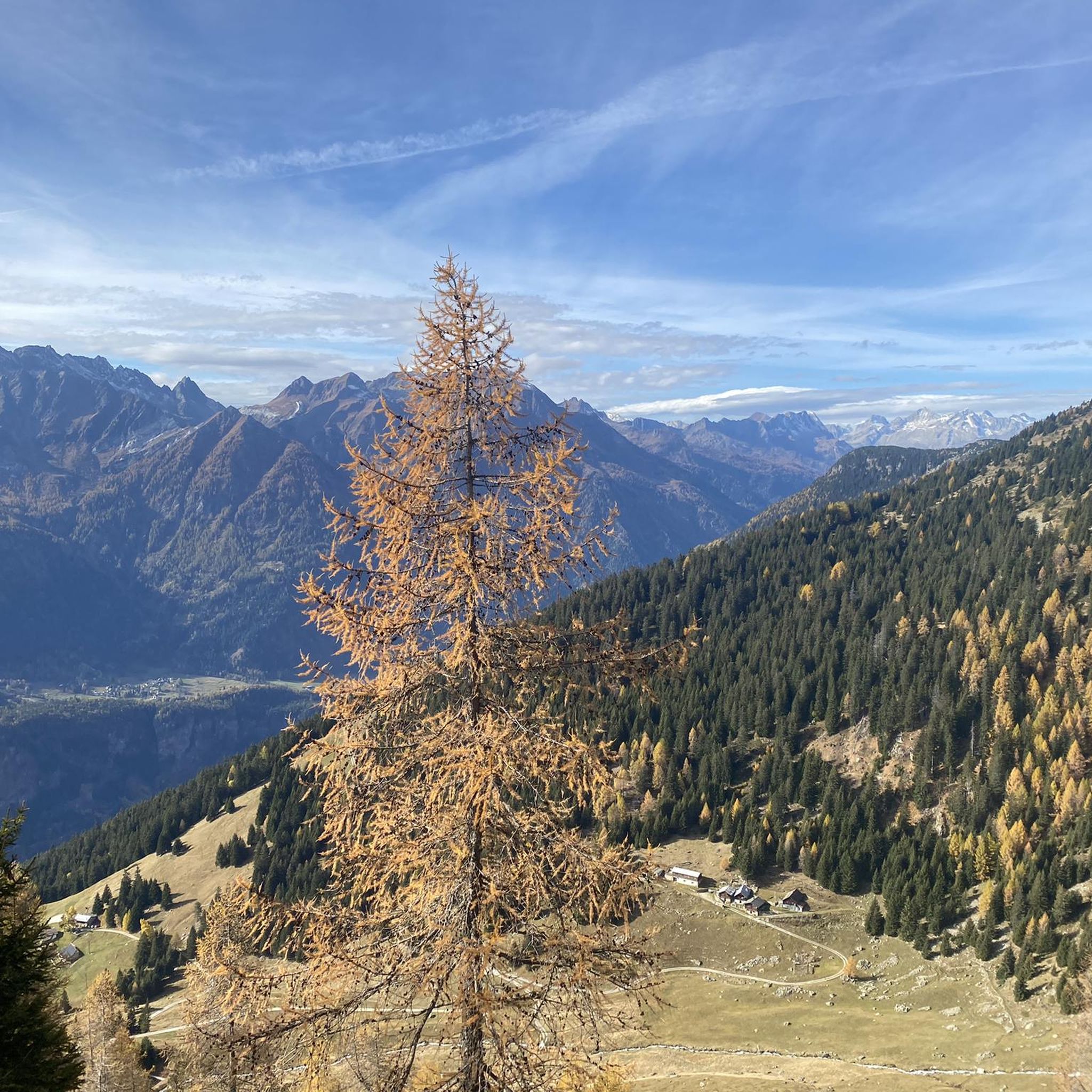
MTB Trails around Faido
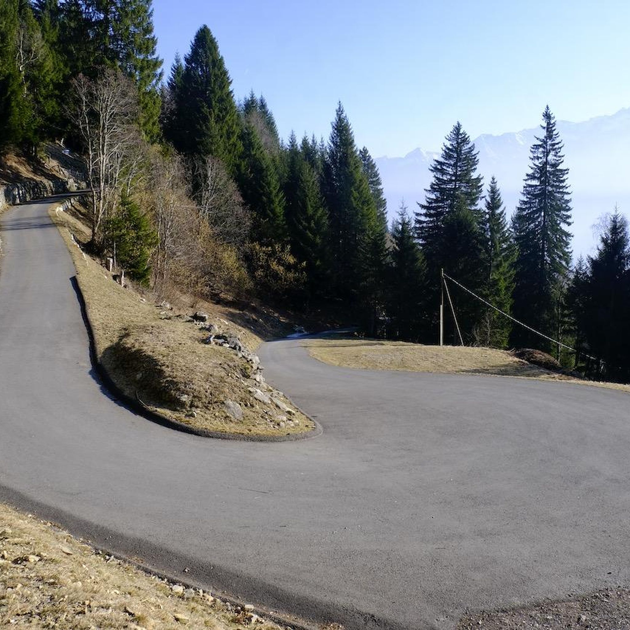
Cycling around Faido
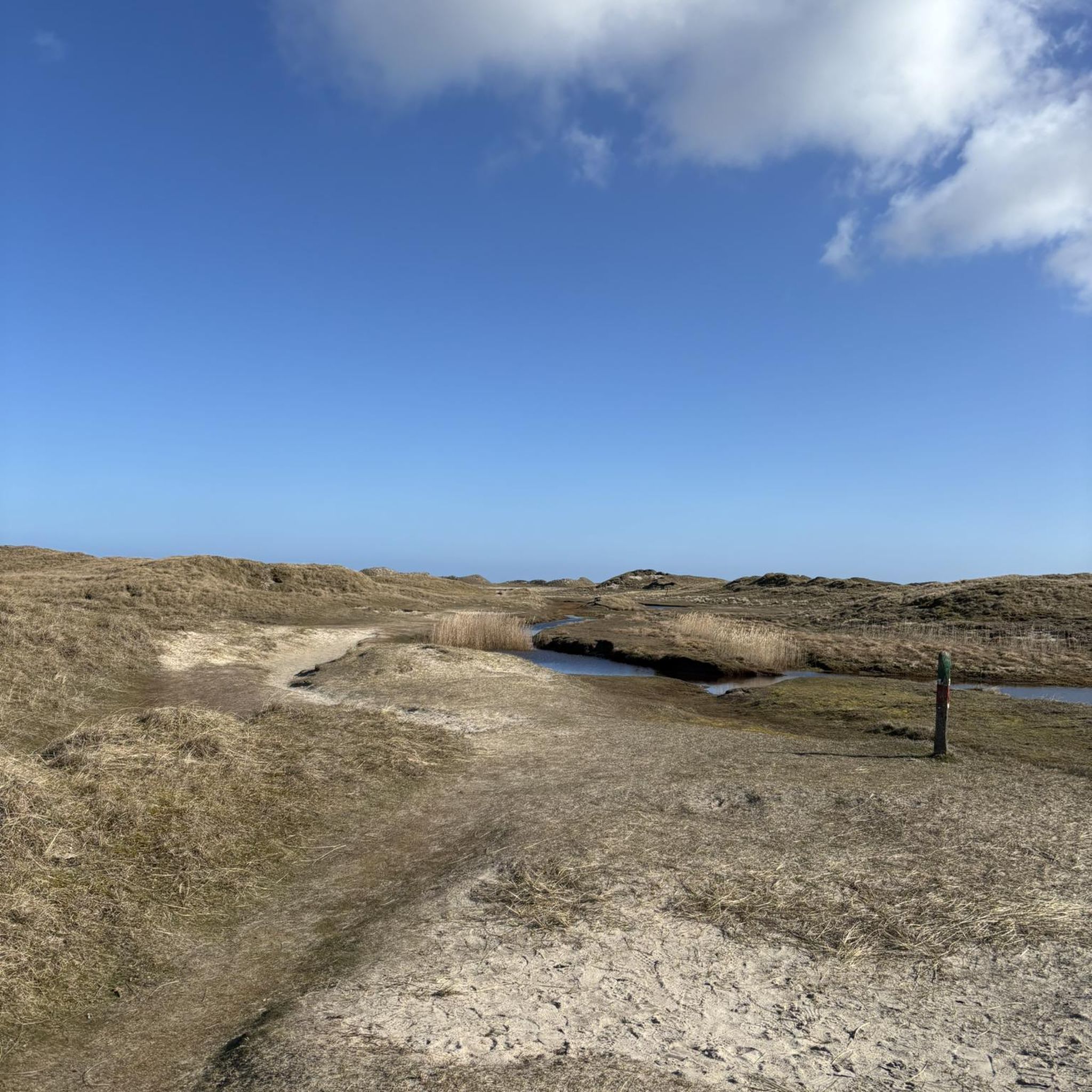
Gravel biking around Faido
Mountain Hikes around Faido
Other adventures around Faido


Tips from the Community

The picturesque village of Cala is beautifully situated on a hill above the Val Chironico and offers a fantastic view of the opposite peaks 🏔️ The village center with the fountain is ideal for a little break 😉👍🏻
1
0
Ces is a formerly abandoned mountain village on a plateau in northern Ticino (1450 m above sea level) and, together with four other "montis" (summer pastures), belongs to the Chironico district of the municipality of Faido in the Valle Leventina. Ces is far from the traffic chaos and can only be reached on foot, a two-hour uphill walk. Even on the way up, you come across a varied landscape, and in the village itself you will notice the naturally cultivated plateau with waterfall, moorland and rare flowers. Ces is located in a hunting reserve. The village consists of around 25 houses and stables, some dilapidated, others rebuilt, and a chapel. A third of the buildings belong to us, the self-managed "Foundation for the Reconstruction of Ces" (Fondazione FRC). Since 1972, we have been working together to ensure that the village and its surroundings retain their traditional characteristics and that Ces is open to alternative and communal forms of living and working.
0
0

The Madonna delle Rive Sanctuary, right above the town of Faido, is dedicated to a popular devotion that dates back to the 15th century. The current sanctuary was built between 1839 and 1841, on the ruins of a chapel destroyed by fire a few years earlier.
0
0
The Chièra lakes are two alpine lakes located in the municipality of Osco at around 2,300 meters above sea level, in an area of glacial origin. They are the ideal destination for an uphill trail run, starting from Somprei or Predèlp.
0
0

Upper Leventina valley. Characteristic mountain pasture located at 2030 meters above sea level surrounded by rhododendrons and small lakes.
0
0
The Sentiero del Montanaro is a hiking route inaugurated in 2020 that connects Carì and Brusada, to the cable car station and the Osteria Belvedere at 2000 meters above sea level. Along the path you can admire the panorama of the Swiss Alps and the local flora and fauna, thanks to educational signs.
0
0
Frequently Asked Questions
How many running routes are available around Faido?
There are over 20 running routes around Faido listed on komoot, offering a wide range of options for different preferences and fitness levels. In total, the Leventina Valley boasts 650 kilometers of trails, many of which are suitable for jogging.
Are there any easy or beginner-friendly jogging routes in Faido?
While Faido's terrain often presents more challenging options, there are 6 moderate running routes available. The region's diverse topography means you can find gentler paths, especially along the valley floor or near the Ticino River, though many routes involve significant elevation changes.
What kind of landscapes can I expect to see while running in Faido?
Jogging in Faido offers a refreshing experience through lush, green valleys framed by impressive alpine vistas. You'll find routes along the Ticino River, around picturesque alpine lakes like those in the Ritom region, and through varied mountain paths and forests, providing shaded sections and a natural atmosphere.
Are there any circular running trails in the Faido area?
Yes, many of the running routes around Faido are designed as loops. For example, the Faido and Chiggiogna – loop run along the Strada Bassa in the Val Leventina is a popular circular option that allows you to explore the valley without retracing your steps.
What are some interesting sights or landmarks I can discover along the running routes?
The region around Faido is rich in natural beauty and points of interest. You might encounter stunning alpine lakes, traditional huts like Capanna Bovarina, or dramatic natural features such as the Piottino Gorge. The Froda Waterfall is another beautiful highlight to look out for.
Can I bring my dog on the running trails in Faido?
While many trails in Switzerland are dog-friendly, it's always advisable to check local signage for specific regulations, especially in nature reserves or protected areas. Generally, dogs should be kept on a leash, and owners are responsible for cleaning up after their pets.
Are there any running routes that pass by cafes or places to eat?
The Leventina Valley is known for its traditional 'grotti' (rustic eateries) where you can enjoy local cuisine. While specific routes aren't highlighted for cafes, many trails pass through or near villages where you can find refreshment. It's a good idea to plan your route and check for available services beforehand.
What do other runners enjoy most about jogging in Faido?
The running routes in Faido are highly rated by the komoot community, with an average score of 5.0 stars. Runners often praise the diverse terrain, the breathtaking alpine and lakeside landscapes, and the inspiring environment for an active outdoor experience.
How can I access higher-altitude running trails without extensive climbing?
Faido offers convenient access to higher elevations through funiculars. The Ritom Funicular, one of the steepest in the world, and the Faido-Pianaselva Funicular can transport you to scenic starting points, allowing you to explore alpine regions and diverse terrain without the initial strenuous ascent.
What is the typical distance and duration for running routes in Faido?
The routes vary significantly in distance and duration. For instance, the Somprei and the lakes of Chièra – race from Predèlp is about 11 km (6.8 miles) and takes around 2 hours, while the Ascent to Matro from Sobrio – loop run from Strada Alta is longer at 15.6 km (9.7 miles) and can take over 2.5 hours due to significant elevation changes.
Are there any running routes suitable for families with children?
While many routes in Faido are rated as difficult due to elevation, some of the gentler paths along the valley floor or around lakes might be more suitable for families. It's recommended to check the route's difficulty and elevation profile on komoot to ensure it matches your family's capabilities.
What are the best times of year for running in Faido?
The Leventina Valley offers beautiful running conditions during spring, summer, and autumn when the weather is milder and the trails are clear. Winter running is possible, but higher alpine routes may be covered in snow, requiring appropriate gear and caution. Always check local weather and trail conditions before heading out.
Most popular attractions around Faido

Get inspired with the komoot mobile app


Explore more
Browse the best Running Trails & Routes in other regions.
