The best road cycling routes around Boisleux-Saint-Marc
4.4
(260)
3,358
riders
466
rides
Road cycling routes around Boisleux-Saint-Marc traverse a landscape characterized by gentle rolling terrain and expansive agricultural fields, typical of the Artois region in Northern France. The area features a network of quiet country roads, offering smooth surfaces suitable for road bikes. Elevations are generally modest, with occasional low hills providing varied gradients for cyclists.
Best road cycling routes around Boisleux-Saint-Marc
- The most popular road cycling route is Roadbike loop from Boyelles, a 25.7 miles (41.4 km) moderate trail that…
Last updated: August 25, 2026
12
riders
66.4km
02:52
420m
420m
Moderate road ride. Good fitness required. Mostly well-paved surfaces and easy to ride.
6
riders
41.4km
02:19
210m
210m
Moderate road ride. Good fitness required. Mostly well-paved surfaces and easy to ride.

Sign up for free
6
riders
82.6km
03:56
500m
500m
Moderate road ride. Good fitness required. Mostly well-paved surfaces and easy to ride.
3
riders
122km
05:25
710m
710m
Hard road ride. Very good fitness required. Mostly well-paved surfaces and easy to ride.
2
riders
54.4km
02:36
380m
380m
Moderate road ride. Good fitness required. Mostly well-paved surfaces and easy to ride.
Get access to more routes and recommendations from other explorers.
Sign up for free
Already have an account?
Our route recommendations are based on thousands of hikes, rides, and runs completed by other people on komoot.
Start today with a free account
Your next adventure awaits.
Login or Signup




Tips from the Community

Mont César rises to a height of 138 meters on the left bank of the Thérain River, near the hamlet of Froidmont, in the municipality of Bailleul-sur-Thérain, in the Oise department. The hill, which overlooks the valley and surrounding marshes, has been inhabited since the Bronze Age and was likely a Gallo-Roman oppidum on an ancient, fortified Gallic camp. Archaeological excavations carried out since the 18th century have unearthed numerous objects and remains of fortifications. During excavations conducted in 1878 by Isidore Berton, Gallic coins and various objects from the Roman period were discovered. Want to know more? Click through to the source: https://fr.wikipedia.org/wiki/Mont_C%C3%A9sar
0
0

A beautiful square in Arras, a must-see both day and night. This is where the market is held on Saturday mornings.
1
0

The town of Bapaume presents one of the most traditional facets of Pas-de-Calais. From its belfry in the village center to the many trails that surround it, discover an authentic village.
0
0

French politician, MP and then resistance fighter, born on November 6, 1890 in Bapaume, he became mayor of the town in 1929. In 1934, he was elected general councilor of Pas-de-Calais. In 1936, he ran in the legislative elections and was elected in the second round. He was arrested in 1943 by the Nazis as he left the prefecture, and deported to the Gross-Rosen camp where he died on November 27, 1944. Since 1948, a monument showing him at the time of his arrest honors his memory. At the Town Hall there is an urn with soil from Gross-Rosen as well as a painting of him.
0
0

French politician, MP and then resistance fighter, born on November 6, 1890 in Bapaume, he became mayor of the city in 1929, in 1934, he was elected general councilor of Pas-de-Calais. In 1936, he ran in the legislative elections and was elected in the second round. He was arrested in 1943 by the Nazis when he left the prefecture, and deported to the Gross-Rosen camp where he died on November 27, 1944. Since 1948, a monument showing him at the time of his arrest honors his memory. At the Town Hall there is an urn with soil from Gross-Rosen as well as a painting representing him.
5
0

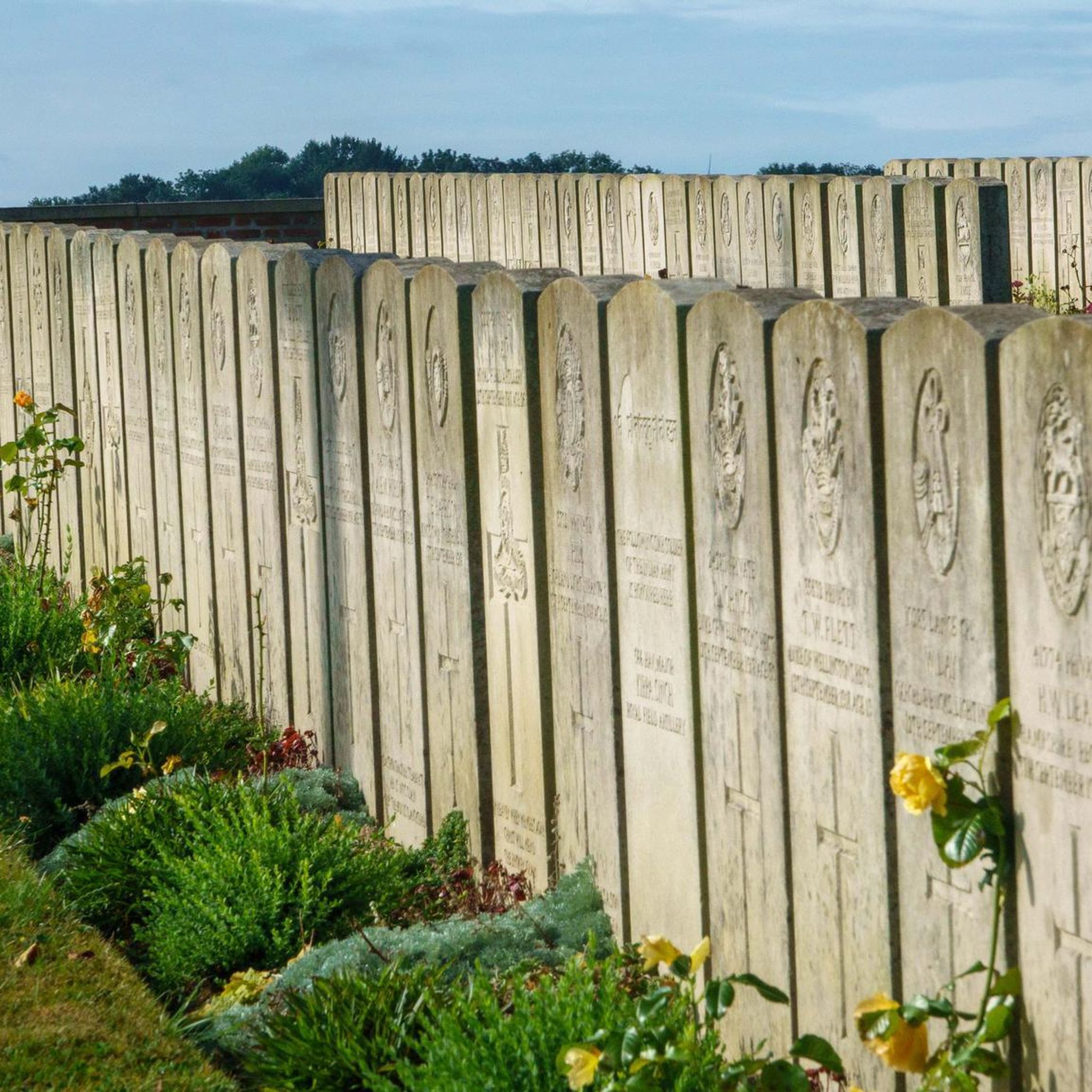
The Carrière Wellington is an underground quarry in Arras, France. It was used as a shelter for soldiers during the First World War and is now a museum in memory of the victims of the Battle of Arras in 1917.
7
0
Frequently Asked Questions
What kind of terrain can I expect on road cycling routes around Boisleux-Saint-Marc?
The region around Boisleux-Saint-Marc is characterized by gentle rolling terrain and expansive agricultural fields, typical of the Artois region in Northern France. You'll find a network of quiet country roads with smooth surfaces, ideal for road bikes. Elevations are generally modest, with occasional low hills providing varied gradients.
How many road cycling routes are available in the Boisleux-Saint-Marc area?
There are over 460 road cycling routes available around Boisleux-Saint-Marc on komoot, catering to various skill levels. This includes more than 110 easy routes, over 330 moderate options, and around 15 routes for advanced cyclists.
Are there any easy road bike trails suitable for beginners near Boisleux-Saint-Marc?
Yes, Boisleux-Saint-Marc offers a good selection of easy road bike trails. With over 110 routes classified as easy, beginners can enjoy the gentle rolling terrain and quiet country roads. These routes are perfect for getting started or enjoying a relaxed ride.
What are some longer or more advanced road cycling routes in the region?
For more advanced road cycling, routes like the Doullens Belfry – Mont César loop from Boisleux offer a challenging ride of approximately 122 km with significant elevation gain. The area also features about 15 routes specifically rated as difficult.
Are there any circular road bike routes around Boisleux-Saint-Marc?
Many of the road cycling routes in Boisleux-Saint-Marc are designed as loops, allowing you to start and finish at the same point. Examples include the popular Roadbike loop from Boyelles and the scenic Château de Saint-Léger loop from Boyelles.
What historical sites or landmarks can I see along road cycling routes?
The region is rich in history. You can find routes that pass by significant historical sites, such as the Wellington quarry – 1917 — Écoust-Saint-Mein loop from Hénin-sur-Cojeul. Additionally, nearby attractions like the Arras Citadel and Arras Town Hall and Belfry are within cycling distance and offer cultural points of interest.
What do other road cyclists say about the routes in Boisleux-Saint-Marc?
The road cycling routes around Boisleux-Saint-Marc are highly rated by the komoot community, with an average score of 4.4 stars from over 230 reviews. Cyclists often praise the quiet country roads, smooth surfaces, and the opportunity to explore the historical landscape of the Artois region.
Are there any routes that pass by notable monuments or points of interest?
Yes, several routes incorporate points of interest. For instance, the Monument to Abel Guidet – Bapaume loop from Mercatel takes you past a significant monument. You can also explore routes that lead towards highlights like the Wall of the Executed at the Citadel of Arras.
What is the best time of year for road cycling in Boisleux-Saint-Marc?
The gentle terrain and open agricultural plains make road cycling enjoyable for much of the year. Spring and autumn generally offer pleasant temperatures and beautiful scenery. Summer is also suitable, though it can be warmer, while winter rides are possible but may require appropriate gear for colder conditions.
Are there scenic viewpoints along the road cycling routes?
While the region is primarily characterized by open agricultural fields, the modest elevations and rolling terrain offer expansive views of the countryside. Routes often provide panoramic vistas across the Artois plains, especially from higher points on the low hills.
What is the typical distance for road cycling routes in this area?
Route distances vary significantly, catering to different preferences. You can find shorter loops, such as the Château de Saint-Léger loop from Boyelles at around 39 km, up to much longer rides like the Doullens Belfry – Mont César loop from Boisleux which is approximately 122 km.
Most popular routes around Boisleux-Saint-Marc
Most popular attractions around Boisleux-Saint-Marc

Get inspired with the komoot mobile app


Explore more
Browse the best Road cycling routes in other regions.
