The best mountain hikes around Gestiès
5.0
(3)
33
hikers
5
hikes
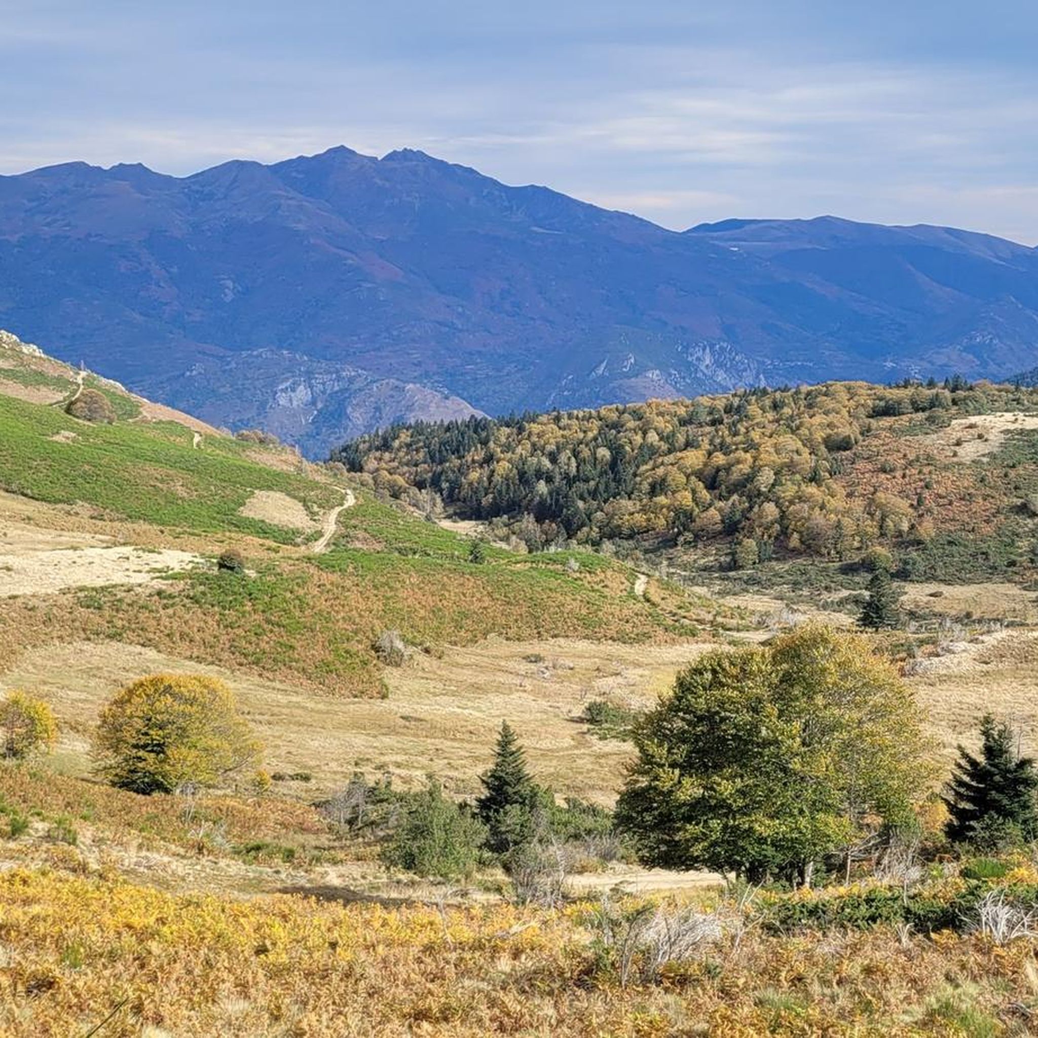
Mountaineering around Gestiès offers access to the rugged Pyrenean landscape in the Ariège department of southwestern France. The region is characterized by a significant elevation range, from approximately 827 meters to 2,742 meters, featuring prominent peaks and deep valleys. Diverse terrains include dense forests, high-altitude pastures, and pristine mountain lakes, with notable siliceous rock formations. This area provides a challenging environment for experienced mountaineers.
Best mountaineering routes around Gestiès
- The most popular mountaineering route is Étang d'Artax – Roc de…
Last updated: July 4, 2026
6
hikers
10.0km
05:02
820m
820m
Hard mountaineering route. Very good fitness required. Mostly accessible paths. Sure-footedness required.
5.0
(2)
6
hikers
14.2km
07:30
1,290m
1,290m
Hard mountaineering route. Very good fitness required. Sure-footedness, sturdy shoes and alpine experience required.

Sign up for free
6
hikers
9.22km
04:27
900m
900m
Hard mountaineering route. Very good fitness required. Mostly accessible paths. Sure-footedness required.
4
hikers
1.05km
01:03
150m
150m
Hard mountaineering route. Great for any fitness level. Sure-footedness, sturdy shoes and alpine experience required.
6
hikers
11.3km
04:49
690m
690m
Hard mountaineering route. Good fitness required. Sure-footedness, sturdy shoes and alpine experience required.
Our route recommendations are based on thousands of hikes, rides, and runs completed by other people on komoot.
Start today with a free account
Your next adventure awaits.
Login or Signup

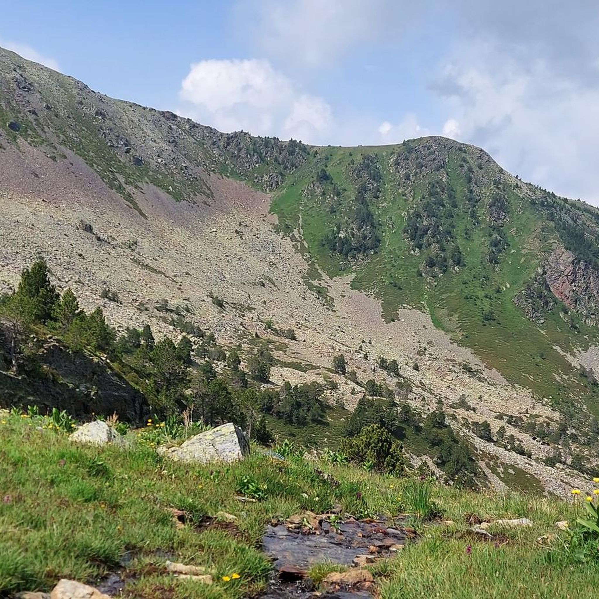
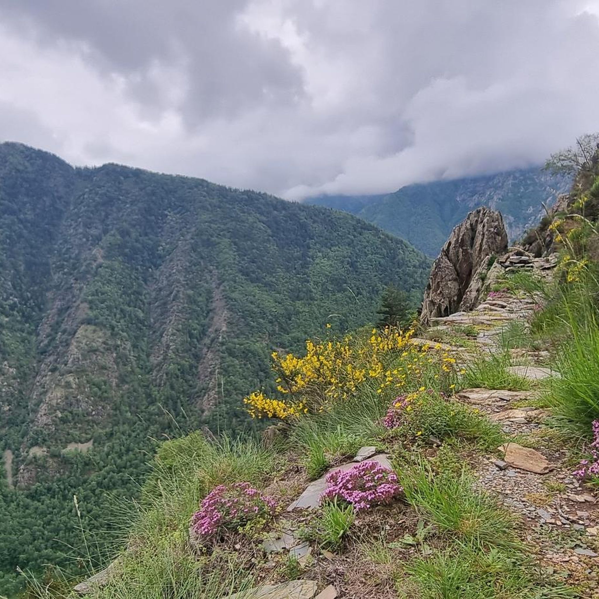
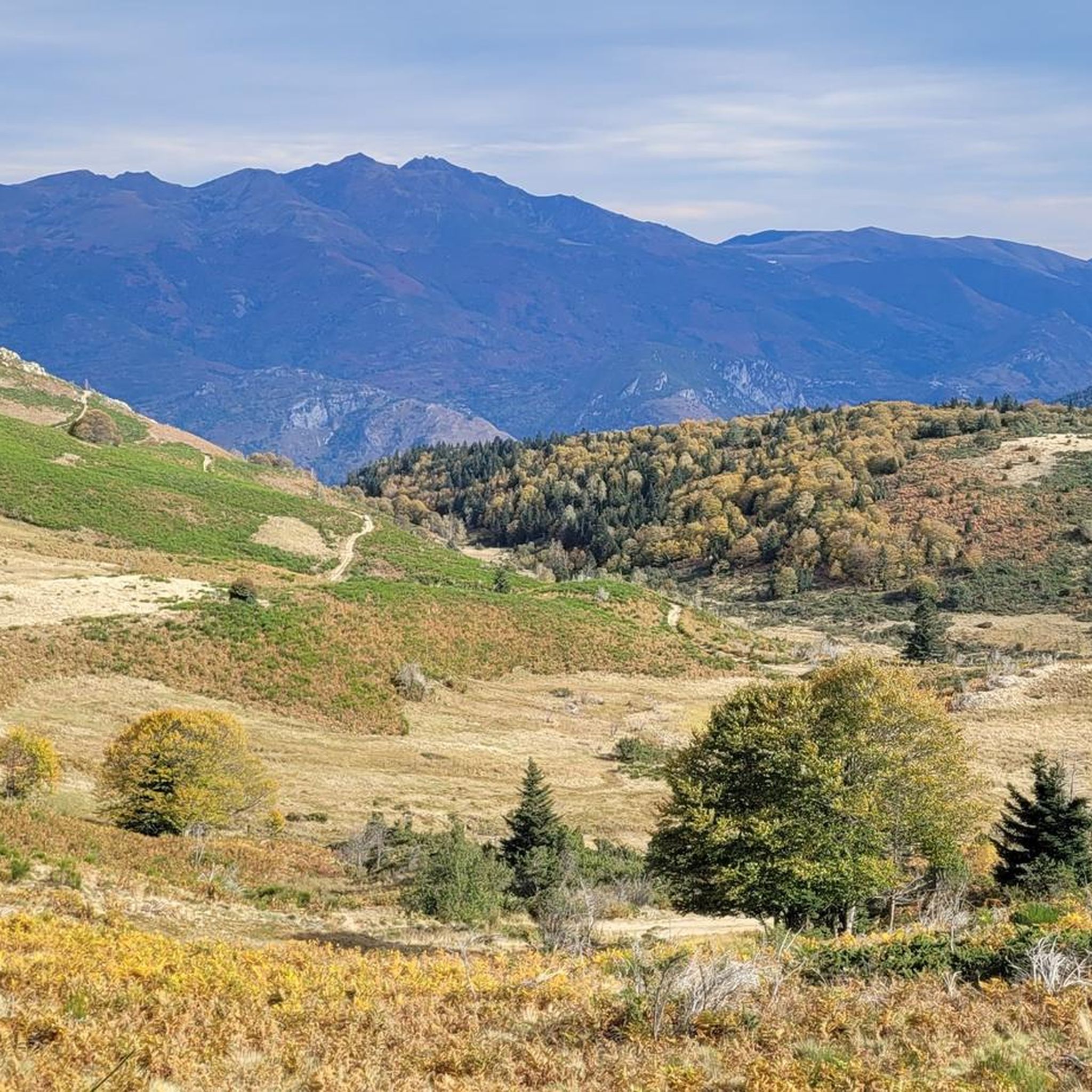

Other adventures around Gestiès

Tips from the Community

The refuge offers accommodation and catering. Friendly hosts and reasonable prices.
1
0

Great panoramic view of France and Spain and the mega beautiful mountain scenery. I am very happy that the weather held up during our ascent. It was really mega beautiful up there. However, the ascent and descent are not for the inexperienced.
0
0

The climb is steep, but manageable. The view from up there, stretching far into France, is definitely worth it!
0
0

From km 2 onwards the road is closed to traffic most hours of the day, so the climb is very quiet.
0
0

Perhaps not the most comfortable bench, but a very photogenic one made of stone in a beautiful spot. During the season and on weekends when the weather is nice, the parking lot gets busy... Starting point for many different hiking and mountain tours. Please open the image for portrait format.
2
0
A scenic parking lot above the reservoir. From here, you can start a variety of hikes and mountain tours, including the shortest (but challenging T4) ascent to the Pica d'Estats, Montcalm, and Pic de l'Étang Fourcat. However, in good weather and on weekends, this spot is very busy, so even the plentiful parking spaces are limited. Mountaineers who want to avoid this should set off early.
2
0

This path explores the beauty of the Ransol Valley, reaching the Coma de Ransol Picnic Area, the starting point for various adventures in this area.
1
0
An impressive trail in this lush valley of the Pyrenees. A remote and challenging trail within the Sorteny Valley Natural Park. The path follows the l'Estanyó river down the valley.
0
0
Frequently Asked Questions
What types of mountaineering routes can I find around Gestiès?
Gestiès offers a range of mountaineering routes through the rugged Pyrenean landscape, characterized by significant elevation changes, prominent peaks, and deep valleys. You'll find paths traversing dense forests, high-altitude pastures, and pristine mountain lakes. The routes cater to moderate to difficult ability levels, making them suitable for experienced mountaineers.
Are there any circular mountaineering routes in the Gestiès area?
Yes, several circular routes are available, allowing you to experience varied scenery without retracing your steps. For a challenging loop, consider the Étang d'Artax – Roc de Querquéou loop from Gourbit, which covers 12.1 km with significant elevation gain. Another difficult option is the Pic de l'Estanyó loop from El Serrat, offering expansive views from high-altitude peaks.
What are some challenging mountaineering routes for experienced climbers near Gestiès?
For experienced mountaineers seeking a challenge, the Gestiès area provides several difficult routes. The Étang d'Artax – Roc de Querquéou loop from Gourbit is a demanding 12.1 km trail with over 1000 meters of ascent. Another excellent option is the Pic de l'Estanyó loop from El Serrat, an 14.1 km route ascending to high-altitude peaks with over 1200 meters of elevation gain.
Are there any easier mountaineering options for those new to the sport in Gestiès?
While many routes are rated difficult, there are moderate options suitable for those with some mountaineering experience. The Cabana Coms de Jan (1720 m) loop from Refugi de Coms de Jan is a moderate 9.3 km trail that leads through mountain pastures and offers views of the high peaks, typically completed in about 4 hours.
What natural features can I expect to see along the mountaineering routes?
The region is rich in natural beauty. You'll encounter majestic mountains, pristine high-altitude lakes like Lac de Peyregrand and Étang Blaou, and lush forests within the Ariège Pyrenees Regional Natural Park. The dramatic topography includes demanding mountain paths and high-altitude trans-Pyrenean routes, offering varied terrain and opportunities to spot wildlife like isards and marmots.
What is the best season for mountaineering in Gestiès?
The best months for mountaineering in Gestiès are typically from late spring to early autumn (June to September) when the weather is more stable and snow has largely melted from higher elevations. Always check local weather forecasts and snow conditions before heading out, especially in the shoulder seasons.
Are there any notable viewpoints or landmarks along the mountaineering trails?
Yes, the routes offer numerous scenic viewpoints. You might encounter highlights such as the Tristaina Solar Viewpoint, offering expansive vistas. Summits like Pic de Casamanya and Pic de l'Estanyó (2,915 m) provide incredible panoramic views of the Pyrenees.
What do other mountaineers enjoy most about the routes in Gestiès?
The mountaineering routes in Gestiès are highly rated by the komoot community, with an average score of 4.9 stars. Reviewers often praise the challenging yet rewarding terrain, the stunning high-altitude lakes, and the expansive views of the Pyrenees. The diverse landscapes, from forests to rocky peaks, are frequently highlighted as a major draw.
Is it possible to access mountaineering trailheads in Gestiès using public transport?
While Gestiès is a village stage on the GR 10, public transport options directly to all specific mountaineering trailheads can be limited in the high Pyrenees. It's advisable to research local bus services or consider carpooling for access to more remote starting points. Some routes might require a short drive from Gestiès itself.
Are there any huts or refuges along the mountaineering routes for overnight stays?
Yes, there are refuges in the broader area that can serve as bases or overnight stops for longer expeditions. Examples include Refuge Borda de Sorteny and Cabana Sorda Refuge. Always check availability and book in advance, especially during peak season.
Are there any specific permits required for mountaineering in the Ariège Pyrenees?
Generally, no specific permits are required for hiking and mountaineering on established trails within the Ariège Pyrenees Regional Natural Park. However, it's always good practice to respect local regulations, especially concerning protected areas, wildlife, and camping. Always check for any temporary restrictions or specific rules for certain zones.
Most popular routes around Gestiès
Most popular attractions around Gestiès

Get inspired with the komoot mobile app


Explore more
Browse the best Mountain Hikes & Routes in other regions.
