The best running trails around Tobel-Tägerschen
4.2
(140)
3,966
runners
373
runs
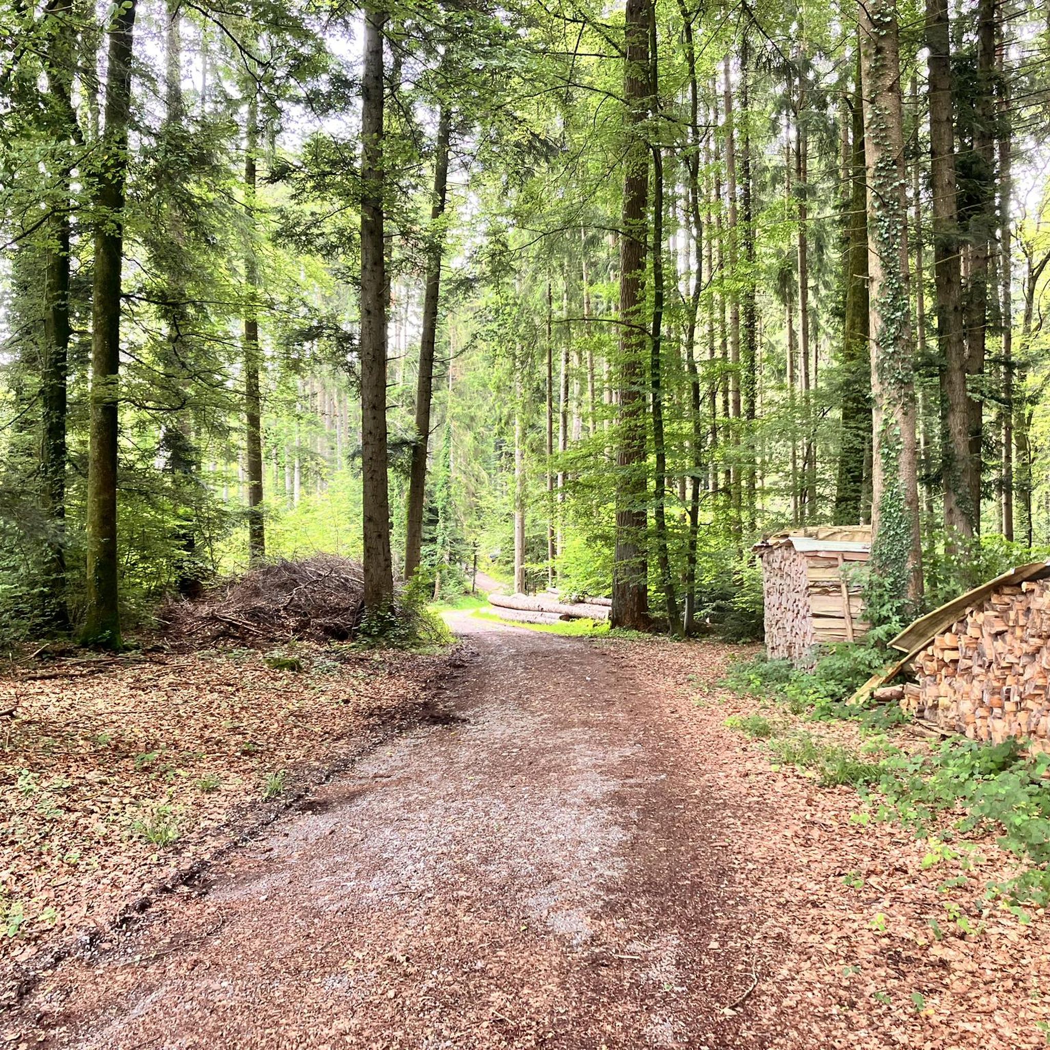
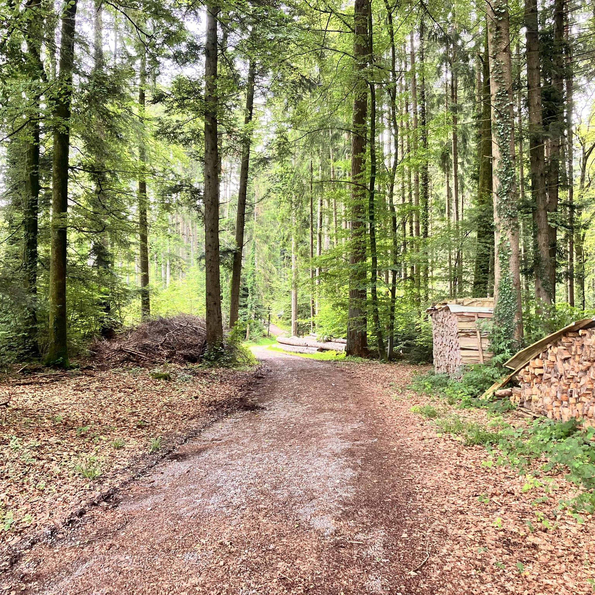
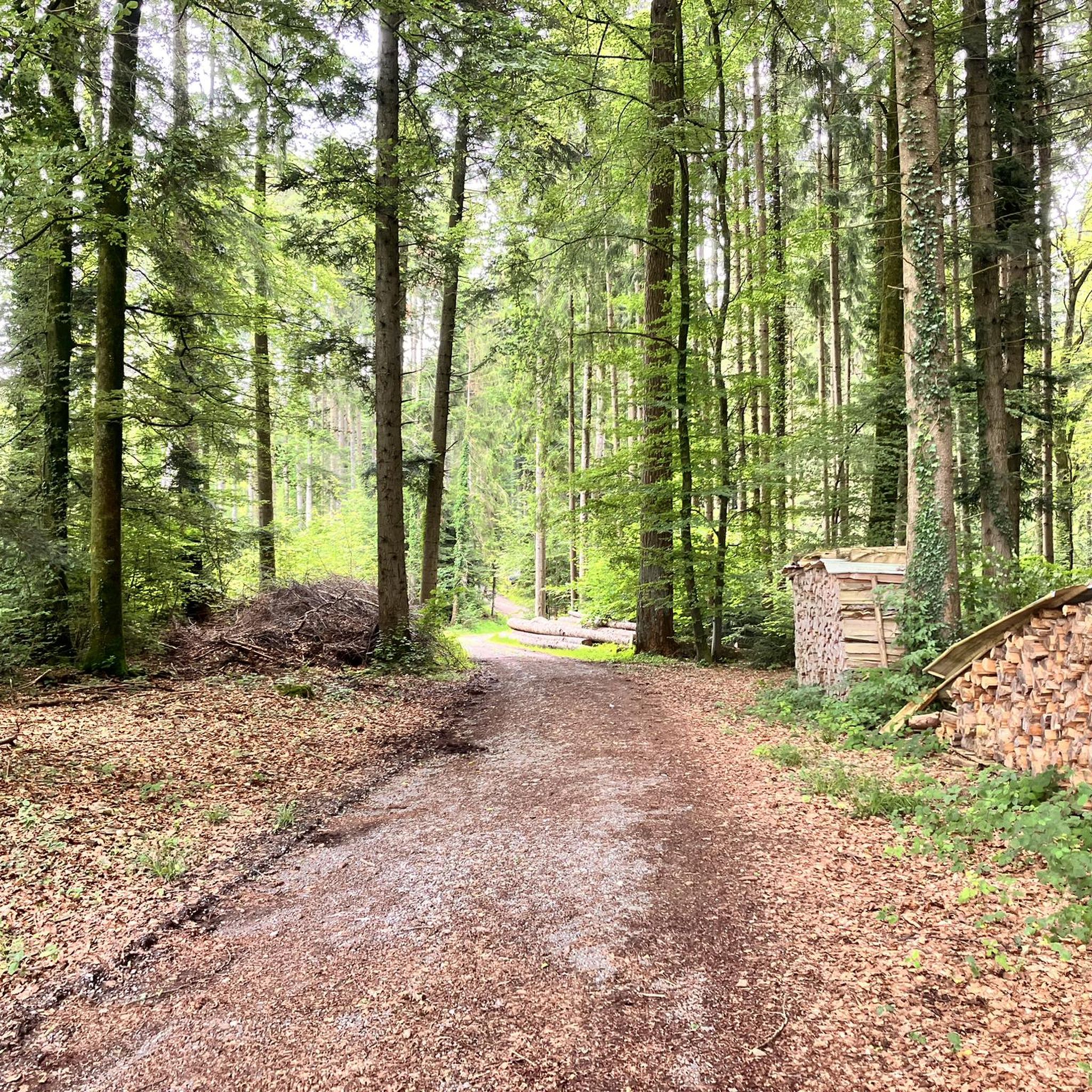
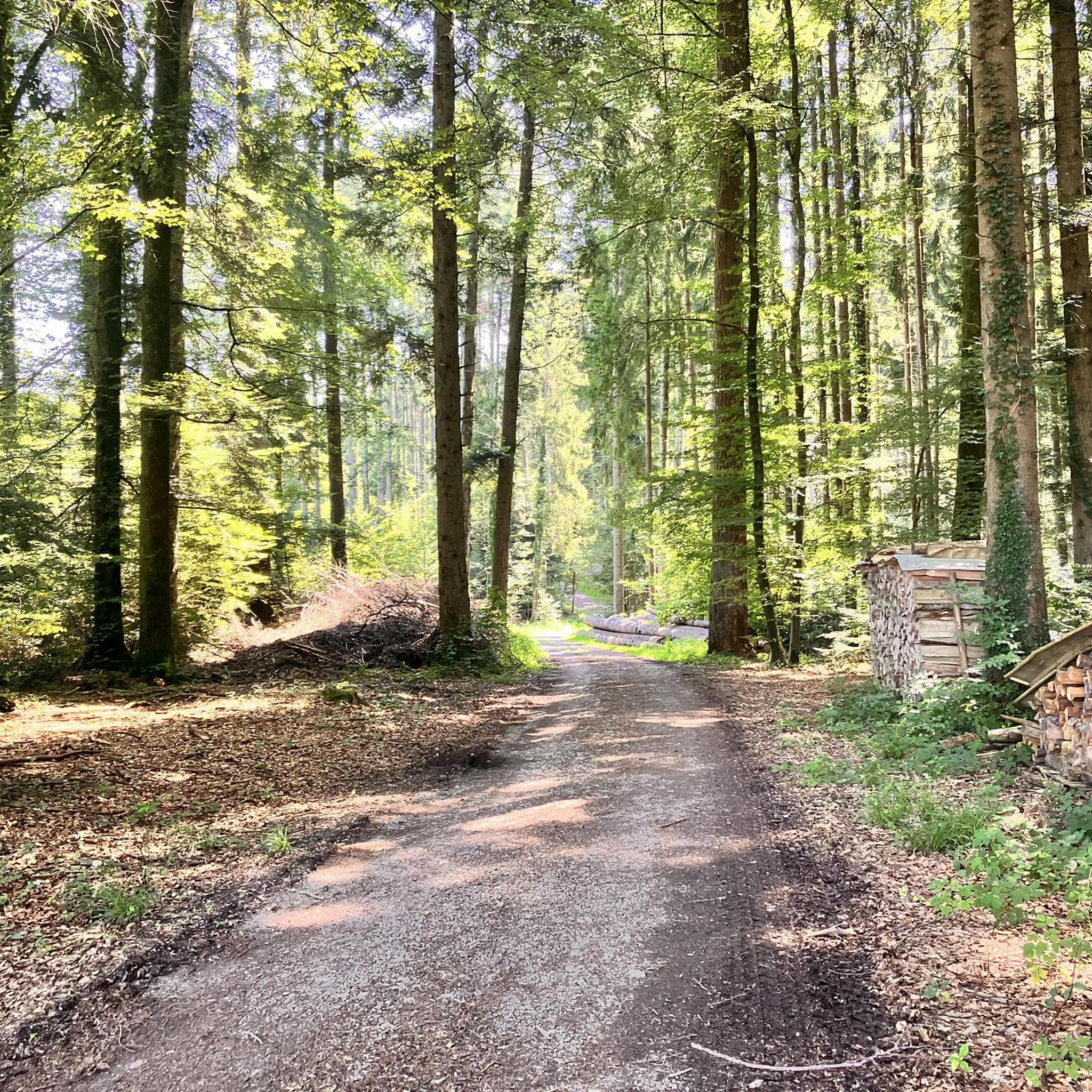
Jogging around Tobel-Tägerschen offers a variety of routes through diverse landscapes. The region is characterized by a mix of forested areas, open fields, and river valleys, providing varied terrain for runners. Gentle hills and well-maintained paths are common, making it suitable for different fitness levels. These running routes often feature natural scenery and provide opportunities for outdoor activity.
Best jogging routes around Tobel-Tägerschen
- The most popular jogging route is Hexentobel loop from Bronschhofen AMP, a 4.0 miles (6.5 km)…
Last updated: July 1, 2026
4.7
(3)
5
runners
6.50km
00:43
140m
140m
Moderate run. Good fitness required. Mostly paved surfaces. Suitable for all skill levels.
3.0
(1)
4
runners
10.3km
01:10
260m
260m
Moderate run. Good fitness required. Mostly paved surfaces. Suitable for all skill levels.

Sign up for free
6
runners
6.62km
00:41
30m
30m
Moderate run. Good fitness required. Mostly paved surfaces. Suitable for all skill levels.
4
runners
12.2km
01:18
110m
110m
Moderate run. Good fitness required. Mostly paved surfaces. Suitable for all skill levels.
4
runners
8.68km
00:55
80m
80m
Moderate run. Good fitness required. Mostly paved surfaces. Suitable for all skill levels.
Get access to more routes and recommendations from other explorers.
Sign up for free
Already have an account?
Our route recommendations are based on thousands of hikes, rides, and runs completed by other people on komoot.
Start today with a free account
Your next adventure awaits.
Login or Signup
Tips from the Community

A great trail for all levels. But PLEASE, watch out for the left turnoff in the lower section (after exiting the forest), as there's a no-vehicle sign on the direct route down, which we will, of course, respect 👍.
0
0


Beautiful chapel, worth a visit.
2
0

The section from the roundabout to the chapel is currently closed to all traffic (the surface is being renewed). A diversion is signposted, but leads along a gravel path. (Status: 24.8.24)
2
0

There are also impressive religious buildings to admire outside the abbots' town of Wil, for example here at the Dreibrunnen Marian pilgrimage church. The complex is a cultural asset of national importance. If you drive further south, you will soon see the town of Wil, where the prince abbots from St. Gallen resided for more than 500 years.
3
0

very good dining restaurant, must always be reserved.
1
0

Great barbecue areas and shady spots along the Murg
3
0

Pilgrimage church Maria Dreibrunnen, a look inside the church is worthwhile
1
0
Frequently Asked Questions
How many running routes are available in Tobel-Tägerschen?
There are over 380 running routes around Tobel-Tägerschen, catering to various fitness levels and preferences. The majority are moderate, but you'll also find easy and challenging options.
Are there any easy running trails suitable for beginners in Tobel-Tägerschen?
Yes, Tobel-Tägerschen offers several easy running trails perfect for beginners. These routes typically feature gentle terrain and shorter distances. For example, the Hexentobel loop from Bronschhofen AMP is a popular 4.0-mile (6.5 km) trail with moderate elevation, offering a pleasant experience.
What are some challenging running routes in the Tobel-Tägerschen area?
For those seeking a challenge, Tobel-Tägerschen has routes with more significant elevation gains and longer distances. While most routes are moderate, there are 32 difficult trails available. The Wiler Tower loop from Bettwiesen, at 6.4 miles (10.3 km), includes some elevation gain, providing a good workout and potential viewpoints.
Are there circular running trails around Tobel-Tägerschen?
Many of the running routes in Tobel-Tägerschen are circular, allowing you to start and finish at the same point. Examples include the Running loop from Lommis and the Hexentobel loop from Bronschhofen AMP, which are both popular circular options.
What kind of scenery can I expect on the running routes in Tobel-Tägerschen?
The running routes in Tobel-Tägerschen offer diverse scenery, including forested areas, open fields, and river valleys. You'll often find natural landscapes and well-maintained paths. Some routes, like the Wiler Tower loop from Bettwiesen, lead to viewpoints offering panoramic views of the region.
Are there any specific landmarks or attractions to see along the jogging routes?
Yes, several routes pass by interesting points. You might encounter natural features like Müliweiher Pond or Istighofer Weiher. For scenic views, consider routes near Nollen or Kapf Triangulation Point.
What do other runners enjoy most about jogging in Tobel-Tägerschen?
The running routes in Tobel-Tägerschen are highly rated by the komoot community, with an average score of 4.3 stars from over 100 reviews. Runners often praise the varied terrain, the mix of forest paths and open fields, and the well-maintained trails that make for an enjoyable outdoor experience.
Are the running trails in Tobel-Tägerschen suitable for families?
Many of the easier and moderate routes are suitable for families, especially those with older children. The region's well-maintained paths and diverse landscapes provide an engaging environment for a family run or walk. Look for routes with less elevation for a more comfortable family outing.
Can I bring my dog on the running trails in Tobel-Tägerschen?
Generally, dogs are welcome on most trails in the Tobel-Tägerschen area, provided they are kept on a leash and you follow local regulations. The natural environment with its forests and open fields offers plenty of space for you and your canine companion to enjoy a run together.
Are there any running routes that offer amenities like cafes or picnic spots nearby?
While specific cafes directly on every route might vary, many trails pass through or near villages where you can find refreshments. Some routes, like the Picnic Area with Fire Pit loop from Märwil, are designed to include spots for a break. You can also find huts like the Lommiswald barbecue hut or a Forest shelter with grill, fountain, and toilet along certain paths.
What is the best time of year to go running in Tobel-Tägerschen?
Tobel-Tägerschen offers enjoyable running conditions throughout much of the year. Spring and autumn provide pleasant temperatures and beautiful scenery with changing foliage. Summer is also great, especially in the shaded forest sections. Winter running is possible, but some trails might be icy or snowy, so appropriate gear is recommended.
Is there public transport access to the running routes in Tobel-Tägerschen?
Tobel-Tägerschen and its surrounding villages are generally well-connected by public transport, primarily buses. Many running routes start near bus stops or train stations, making them accessible without a car. It's advisable to check local transport schedules for specific starting points.
Where can I find parking for the running trails in Tobel-Tägerschen?
Parking is typically available in the villages where many routes begin, such as Bronschhofen, Bettwiesen, or Lommis. Look for designated public parking areas. Some trailheads might also have small parking lots, but availability can vary, especially on busy days.
Most popular routes around Tobel-Tägerschen
Most popular attractions around Tobel-Tägerschen

Get inspired with the komoot mobile app


Explore more
Browse the best Running Trails & Routes in other regions.
