The 20 Most Amazing Peaks around Auzat
Best mountain peaks around Auzat are found in the Ariège Pyrenees, with the Montcalm massif dominating the landscape. This region serves as a base for exploring numerous summits. The area features high-altitude peaks offering extensive panoramic views. The terrain includes rocky and scree-laden sections, as well as forested areas at lower altitudes.
Best mountain peaks around Auzat
- The most popular mountain peaks is Tristaina Solar Viewpoint, a viewpoint that offers impressive views of the Arcalís Valley. This location provides…
Last updated: October 10, 2026
Tristaina Solar Viewpoint
Highlight • Viewpoint
Translated by Google •
Tip by

Pic de Casamanya
Highlight • Summit
Showing Translation
Tip by

Sign up now to discover places like this
Get recommendations on the best single tracks, peaks, & plenty of other exciting outdoor places.
Coma Pedrosa Summit
Highlight • Summit
Showing Translation
Tip by

Pic de la Serrera
Highlight • Summit
Translated by Google •
Tip by

Pica d'Estats
Highlight • Summit
Showing Translation
Tip by

Sign up for free to discover even more peaks around Auzat.
Already have an account?
Start today with a free account
Your next adventure awaits.
Popular around Auzat

GR 10 – Explore the Ariège Pyrenees crossing the Pyrenees

Panoramic Pyrenees – 15 hikers' peaks of over 3,000 metres

On wild ridges: Catalonia to Ariège – Hexatrek, Eastern Pyrenees

Hiking to the summits – France's highest points
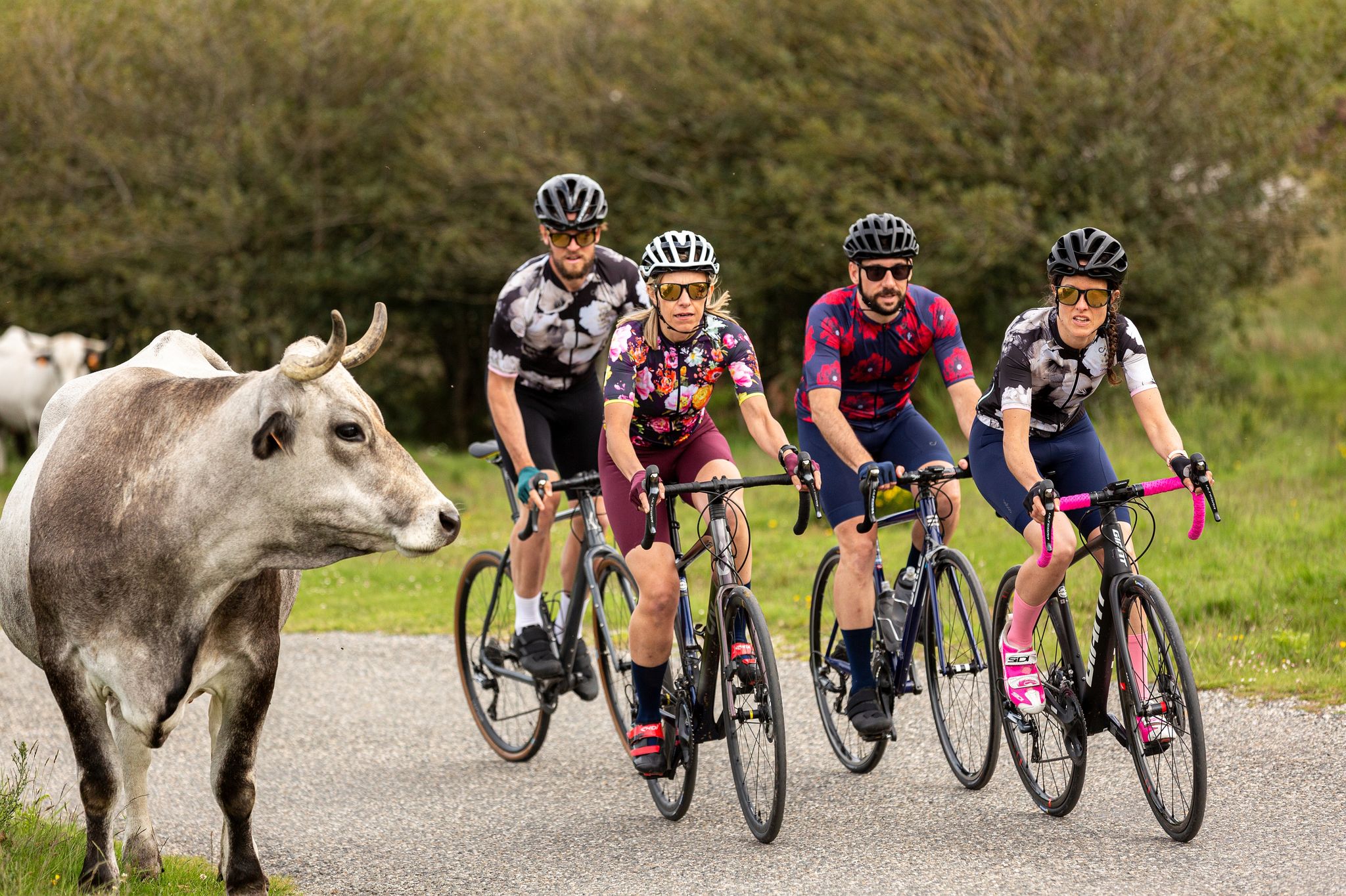
16 itinéraires cyclo incontournables Ariège Pyrénées
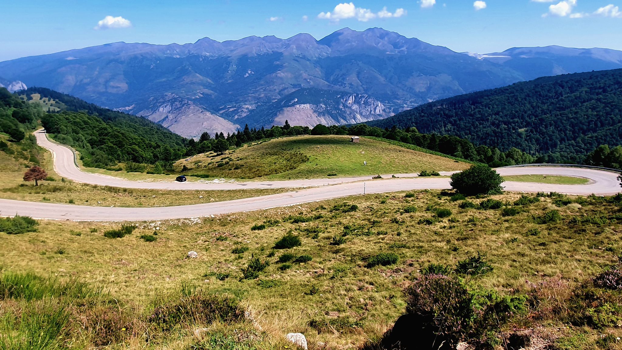
Le Cyclotour de l'Ariège
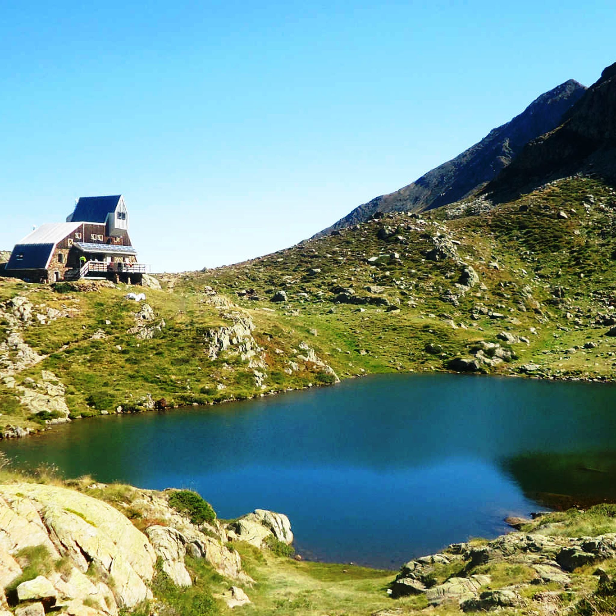
Hiking around Auzat
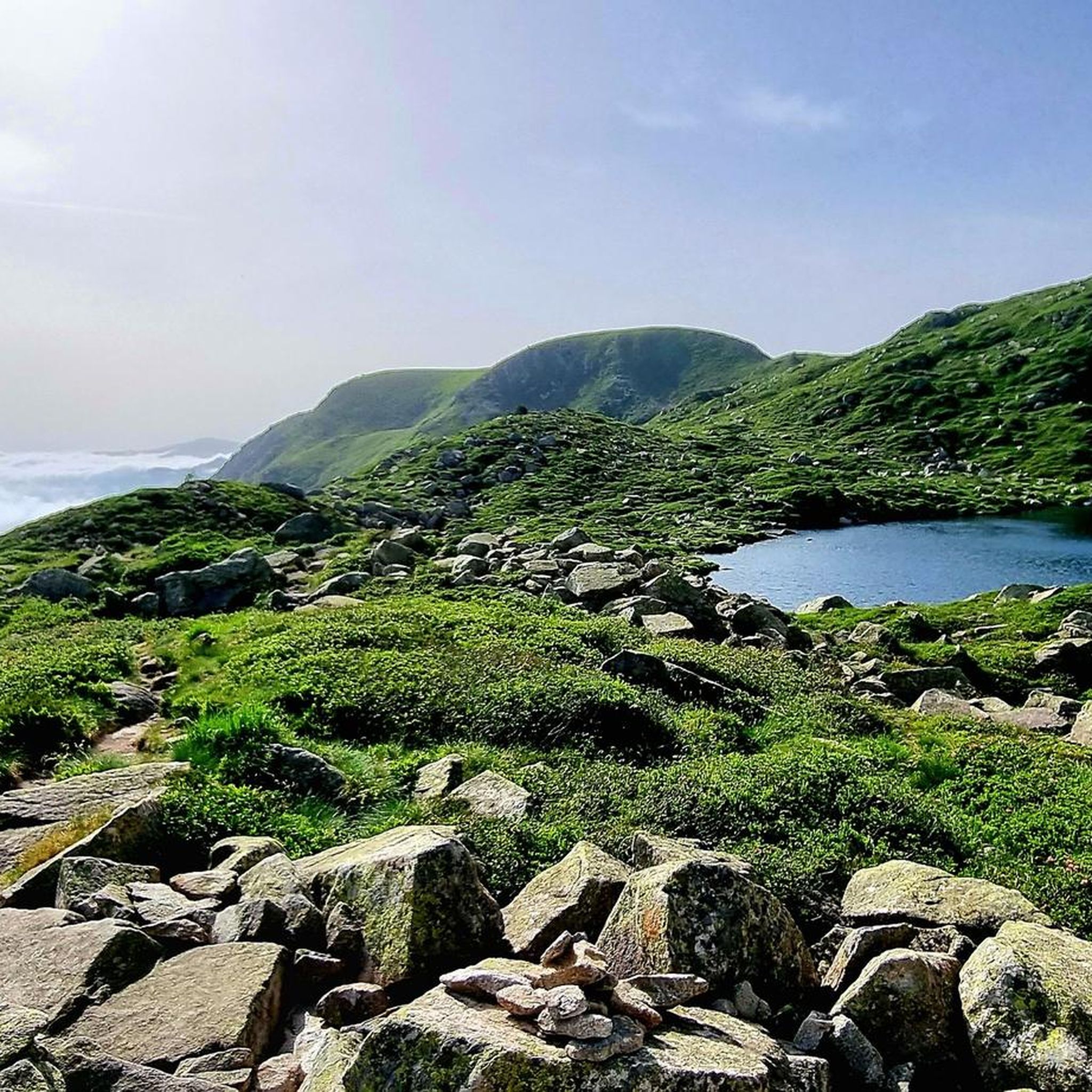
Road Cycling Routes around Auzat
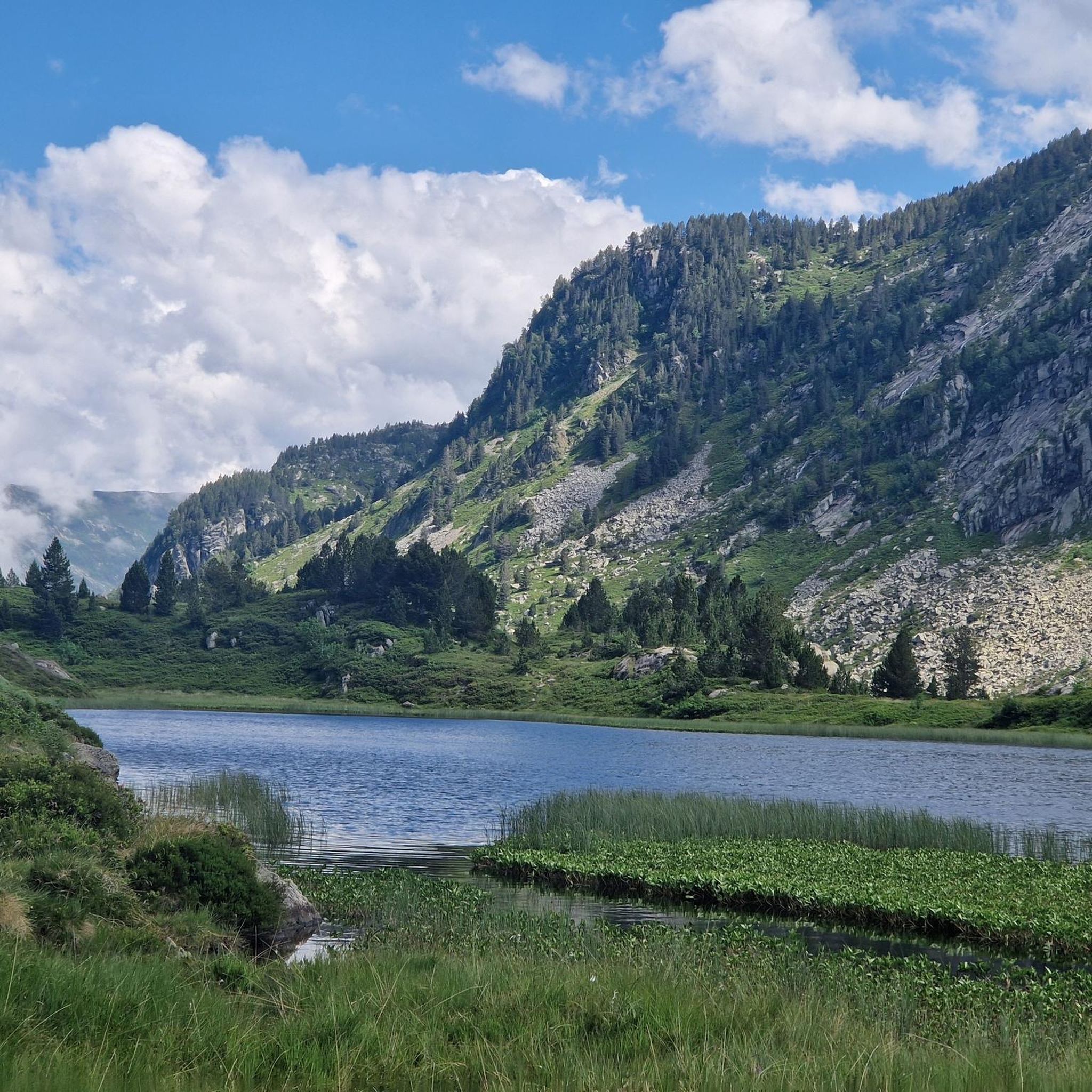
Running Trails around Auzat
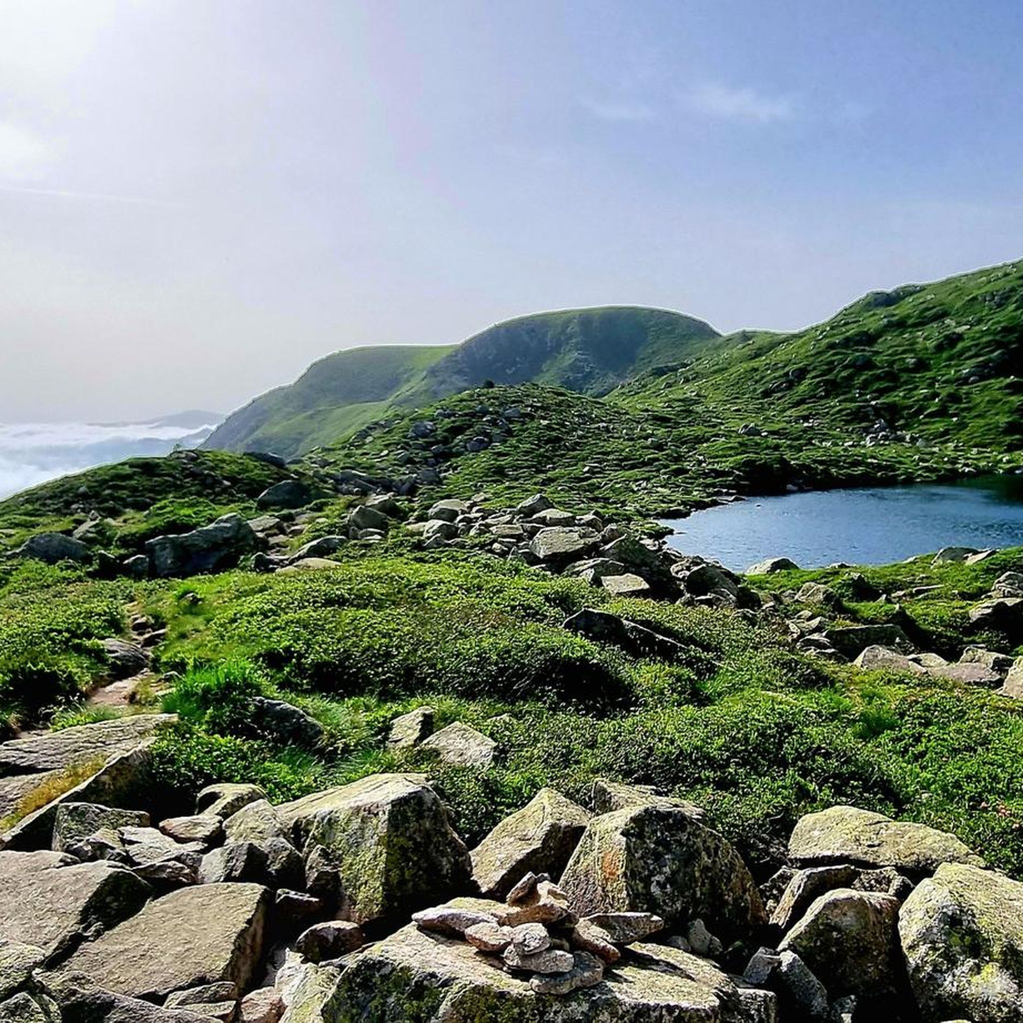
Cycling around Auzat
Other adventures around Auzat


Tips from the Community

The highest peak in the Catalan Pyrenees is well worth the visit, although you have to earn it as it is a long route with considerable elevation gain to overcome.
0
1

Great panoramic view of France and Spain and the mega beautiful mountain scenery. I am very happy that the weather held up during our ascent. It was really mega beautiful up there. However, the ascent and descent are not for the inexperienced.
0
0

Fantastic panoramic view all around, this summit is worth it, see my two panorama photos. Ascent from Estany de Sotllo via Pass. Took the partly exposed scrambling/climbing ridge via Pic Verdaguer. Nice scrambling, you just have to be careful to stay on the right track. Descent all around the summit, then to the same pass and down along the same beautiful mountain lakes and via Valferrera hut into the valley. The length and roughness of this path really surprised me. Luckily I didn't ascend from the hut. Especially the path along the mountainside, some way above the hut, was challenging. Again and again there are small counter-ascents over rocky tops and at some point I was on a side path below the main path, which then ended in bushes. After a short climb, everything went well again.
1
0

The climb is steep, but manageable. The view from up there, stretching far into France, is definitely worth it!
0
0

Solar viewpoint on the Peyraguils pass or summit, a metal structure that allows a 360° view of the valleys of the Andorran Pyrenees and the Aran Valley, with views of Aneto.
2
0

Here again: Someone is rating ALL photos of highlights in this region (Northwest Pyrenees) "not accurate," even though they accurately depict the location? Why does anyone need to do that? Is it jealousy? Does someone want to drag down others' "expert" ratings? How pathetic.
1
1
The highest mountain in Andorra is feasible as a day trip from the country. However, one should be careful, some experienced hikers have already gotten lost. 😜 And the way to Spain or France is long... The easiest ascent is rated T3 according to the SAC scale. On the descent, I went a bit off the summit path in a northeastern direction and descended there. A bit more demanding (T4), but in this case, due to the scree in the upper part, it is easier to navigate on the descent. Here I saw some salamanders.
2
0
The summit can be reached from several sides. The direct route from the Spanish side to the summit ridge is demanding (I estimate T5 according to the SAC scale). However, you can "cheat" by first crossing to the north side via the pass, then you have to descend a bit and then you reach the path from the French side. The technically easiest ascent is certainly from the north via the Refuge du Pinet (T3). However, from the car park at L'Artigue, it is a total of around 2000 meters in altitude gain, which is why an overnight stay in the refuge is also a good idea (in October 2024, a winter room was open, €8 per night). I opted for the 3rd variant, from the Étang de Soulcem. From there, it is "only" 1500 meters in altitude gain with a difficulty of T3+/T4-. Although I chose a variant on the ascent (see my tour) that is not on the map and which I would rate as T4+.
3
0
Frequently Asked Questions
Which mountain peaks near Auzat offer the most challenging climbs and extensive views?
For experienced hikers seeking a significant challenge and breathtaking panoramas, the Montcalm massif is key. Pica d'Estats (3,143 m), the highest peak in Catalonia and the Ariège Pyrenees, offers spectacular views, potentially even of the Montserrat Mountains on a clear day. Its neighbor, Pic du Montcalm (3,077 m), provides incredible 360-degree views deep into the Ariège mountains, Spain, and Andorra. Another highly challenging ascent is to Coma Pedrosa Summit, the highest peak in Andorra, which also promises extensive views in all directions. The Pic de Casamanya also offers a technically difficult but rewarding tour with fantastic views.
Are there any 3,000-meter peaks accessible from Auzat?
Yes, Auzat is an excellent base for accessing several 3,000-meter peaks, primarily within the Montcalm massif. These include Pica d'Estats (3,143 m), Pic du Montcalm (3,077 m), and Pic de Verdaguer (3,129 m). These high-altitude routes often involve multi-day treks, typically with an overnight stay at a refuge like the Refuge du Pinet, and require good physical condition and appropriate gear.
What kind of terrain can I expect on mountain trails around Auzat?
The terrain around Auzat varies significantly. Lower altitude trails may feature forested sections, while higher peaks, especially in the Montcalm massif, are characterized by rocky and scree-laden terrain. Ascents can be steep, involving boulder fields and granite topography. Some routes, like the one to Pic de Verdaguer, may even include partly exposed scrambling or climbing ridges.
Which peaks offer great panoramic views without reaching 3,000 meters?
For stunning panoramic views without the extreme altitude of the 3,000-meter peaks, consider Pic de Cabanatous (2,053 m). Accessible from Auzat, particularly via the Bassiès lakes, this peak offers a 'marvellous lookout point' with 360° views of the Ariège Pyrenees and the Bassiès ponds. Another excellent option is the Tristaina Solar Viewpoint, which provides impressive views of the Arcalís Valley and the Pyrenees from 2701 meters above sea level.
What are the best times of year to hike the mountain peaks near Auzat?
The best time to hike the high mountain peaks around Auzat is generally during the warmer months, from late spring to early autumn, when snow has melted and weather conditions are more stable. Autumn can be particularly captivating for peaks like Pic de Cabanatous, as the foliage displays vibrant colors. Always check local weather forecasts and trail conditions before heading out, as high-altitude weather can change rapidly.
Are there any family-friendly or easier mountain hikes around Auzat?
While many of the prominent peaks around Auzat are challenging, there are options for less strenuous outings. For example, the Pic de Casamanya, despite its technical difficulty, has been noted by visitors as manageable even for 'little dogs,' suggesting that with proper preparation, it can be a rewarding experience for active families. For specific family-friendly routes, it's best to consult local tourist information or detailed trail guides for the Auzat area.
What outdoor activities can I do near these mountain peaks besides hiking?
Beyond hiking, the region around Auzat offers a wide array of outdoor activities. You can explore various cycling options, including gravel biking and mountain biking. For example, there are numerous gravel biking routes and MTB trails around Auzat. The area is also popular for climbing, mountaineering, and canyoning, offering diverse ways to experience the Pyrenean landscape.
Where can I find trailheads and parking for mountain peaks in the Auzat area?
A common starting point for many high-mountain treks, especially to the Montcalm massif peaks like Pica d'Estats and Pic du Montcalm, is the Artigue parking lot near Auzat. From there, routes often lead to the Refuge du Pinet, which serves as a crucial stop for multi-day excursions. For other peaks, specific trailheads and parking information can usually be found on detailed hiking maps or local outdoor activity websites.
What should I know about safety and preparation for hiking in the Auzat mountains?
The trails in the Auzat mountains, particularly to the higher peaks, are generally considered very difficult and require good physical condition, appropriate gear, and caution. Be prepared for rocky and scree sections. Always carry enough water, especially on longer treks, though some routes to Coma Pedrosa Summit have natural water sources. It's advisable to wear sturdy hiking shoes and be aware of rapidly changing weather conditions in the high mountains.
What do visitors enjoy most about the mountain peaks around Auzat?
Visitors consistently praise the incredible panoramic views and the sense of achievement that comes with conquering these challenging peaks. The high-mountain experience, with diverse scenery from forests to scree slopes and numerous lakes, is a significant draw. Many appreciate the opportunity to immerse themselves in the Pyrenean landscape and witness the dramatic natural beauty of the Ariège region.
Are there any specific routes for mountain hiking near Auzat?
Yes, there are several notable routes for mountain hiking. For instance, you can find mountain hiking routes around Auzat that include challenging treks like the Pica d'Estats Summit – Pic Verdaguer loop from Refugi de Vallferrera, or the Pic Verdaguer – Pica d'Estats Summit loop from L'Artigue. These routes offer a deep immersion into the high Pyrenees.
Most popular routes around Auzat
Most popular attractions around Auzat

Get inspired with the komoot mobile app


Explore more
See even more amazing summits around Auzat with these guides:
