The best walks and hikes around Yviers
4.3
(85)
528
hikers
30
hikes
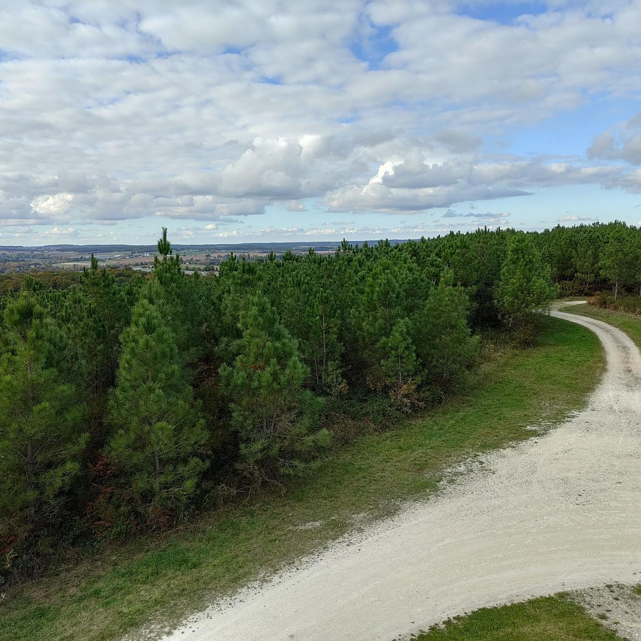
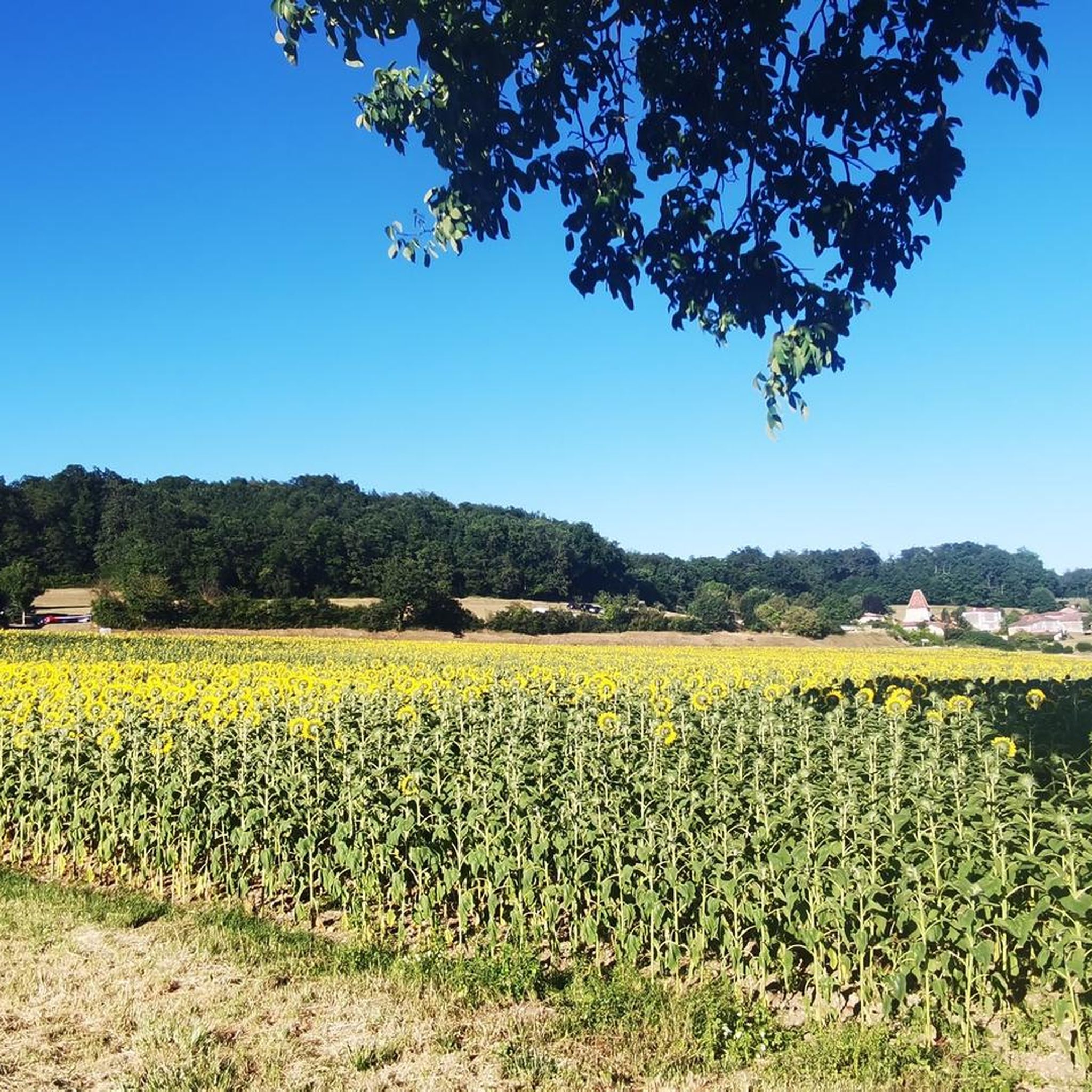
Hiking around Yviers offers access to the tranquil landscapes of the Charente countryside in southwestern France. The region is characterized by expansive fields, rolling vineyards, and verdant meadows, providing a rural setting for outdoor exploration. A notable feature includes the striking Blue Ponds of Guizengeard, former kaolin quarries transformed into lakes with brilliant turquoise waters. Additionally, the area features smaller pond systems like the Weasel Ponds, offering diverse natural observations.
Best hiking trails around Yviers
- The most popular hiking route is Les Lacs bleus loop from Guizengeard, an easy 2.1 miles (3.3 km) trail that takes about 54 minutes to complete. This route explores the unique turquoise waters of the Blue Ponds.
- Another top favourite among local hikers is Blue Ponds of Guizengeard – Les Lacs bleus loop from Guizengeard, an easy 4.4 miles (7.1 km) path. This longer loop provides extensive views of the distinctive blue lakes and surrounding natural areas.
- Local hikers also love the Weasel Ponds – Étang des belettes loop from Rioux-Martin, a 1.5 miles (2.4 km) trail leading through the tranquil pond area, often completed in about 37 minutes.
- Hiking around Yviers is defined by expansive fields, rolling vineyards, and the distinctive turquoise lakes of former quarries. The network offers options for various ability levels, from short, easy loops to moderate trails.
- The routes in Yviers are highly rated by the komoot community with an average score of 4.2 stars from over 70 reviews. More than 500 hikers have used komoot to explore Yviers's varied terrain.
Last updated: June 30, 2026
4.9
(11)
34
hikers
7.78km
02:06
100m
100m
Moderate hike. Good fitness required. Easily-accessible paths. Suitable for all skill levels.
4.3
(4)
16
hikers
3.63km
00:58
40m
40m
Easy hike. Great for any fitness level. Easily-accessible paths. Suitable for all skill levels.

Sign up for free
4.0
(1)
6
hikers
9.62km
02:34
100m
100m
Moderate hike. Good fitness required. Easily-accessible paths. Suitable for all skill levels.
3.0
(1)
3
hikers
Moderate hike. Good fitness required. Easily-accessible paths. Suitable for all skill levels.
1
hikers
12.1km
03:16
160m
160m
Moderate hike. Good fitness required. Easily-accessible paths. Suitable for all skill levels.
Get access to more routes and recommendations from other explorers.
Sign up for free
Already have an account?
Our route recommendations are based on thousands of hikes, rides, and runs completed by other people on komoot.
Start today with a free account
Your next adventure awaits.
Login or Signup

Tips from the Community

Magnificent with the change of weather between morning and afternoon, change of colors
0
0

Artificial natural site formed by the exploitation of a clay quarry
2
0

Beautiful route, there is a restaurant at the lake and from Rioux-Martin you can make a nice round trip
0
0

This is a fishing lake. A path allows you to follow the banks in a very nice environment.
0
0
The trail offers a beautiful view of the blue lake of Guizengard. The water takes on a thousand azure hues, creating an almost unreal setting. The site has great ecological value with the presence of numerous plant and animal species. Among the most remarkable, the bee-eater, this beautiful, brightly colored bird has found refuge here to the delight of walkers.
0
0

Between 1975 and 2013, the exploitation of white clay by humans dramatically changed this forest environment. At the origin of this supernatural landscape, this old kaolin quarry produced a beautiful white earth intended for the manufacture of porcelain, tiles, bricks, and cosmetic and pharmaceutical products. To extract and process the kaolin, operators moved thousands of cubic meters of material by digging up to 40 meters deep. After the end of the industrial exploitation of white clay, the vegetation regained its rights and this huge open-air quarry filled with rainwater, giving rise to a deep artificial lake. This new environment is still very young and the acidity of the soils of the different geological layers prevents any development of aquatic life in the lake (algae, fish, amphibians). The water is crystal clear, transparent, and has no suspended matter that can absorb light. This is fully reflected in the lake which thus sports a shades of blue, from turquoise to azure blue, to the delight of walkers and nature lovers. Two trails allow you to discover this disconcertingly beautiful site: the Grand Bois du Marais circuit and the Guêpiers circuit.
1
0
Frequently Asked Questions
How many hiking trails are available around Yviers?
There are over 30 hiking routes available around Yviers, offering a variety of experiences from easy strolls to more moderate excursions through the Charente countryside.
What kind of landscapes can I expect to see while hiking near Yviers?
Hiking near Yviers offers a diverse range of landscapes. You'll encounter expansive fields, rolling vineyards, and verdant meadows characteristic of the Charente countryside. A unique feature is the striking Blue Ponds of Guizengeard, former kaolin quarries now transformed into lakes with brilliant turquoise waters. The wider region also features forests, other serene pond systems like the Weasel Ponds, and even marshlands like the Marais Poitevin.
What do other hikers say about the trails around Yviers?
The trails around Yviers are highly rated by the komoot community, with an average score of 4.2 stars from over 70 reviews. Hikers often praise the unique beauty of the Blue Ponds and the tranquil, rural atmosphere of the Charente countryside.
Are there any unique natural attractions to explore on hikes near Yviers?
Absolutely. The most unique natural attraction is the captivating Blue Ponds of Guizengeard, an former kaolin quarry with stunning turquoise waters. You can explore this area on routes like the Les Lacs bleus loop from Guizengeard or the longer Blue Ponds of Guizengeard – Les Lacs bleus loop from Guizengeard. Additionally, the Étang des belettes (Weasel Ponds) offers further easy hiking loops.
Are there other notable lakes or natural areas for hiking in the wider Charente region?
Yes, beyond Yviers, the Charente department offers more natural beauty. You can find the Lakes of Lavaud and Mas Chaban, which feature a 14-kilometer trail along wooded banks. The Lacs de Touverac also present mysterious blue ponds within a preserved forest setting. For a different experience, the Marais Poitevin, often called the 'Green Venice,' provides a unique environment of peaceful canals and green meadows ideal for hiking and nature observation.
What are some interesting landmarks or points of interest near the hiking trails?
While hiking near Yviers, you can discover several points of interest. Besides the stunning View of one of the Guizengeard ponds and the Étang des belettes, you might encounter historical religious buildings such as the Notre-Dame-de-la-Nativité Church of Brossac or the Saint-Sulpice Church in Chillac, adding cultural depth to your outdoor adventure.
Are there easy or family-friendly hiking options around Yviers?
Yes, Yviers is well-suited for easy and family-friendly hikes. There are 12 easy routes available. For instance, the Les Lacs bleus loop from Guizengeard is an easy 3.3 km trail, perfect for a leisurely family outing. Another gentle option is the Weasel Ponds – Étang des belettes loop from Rioux-Martin, a 2.4 km path through a tranquil pond area.
Can I find circular hiking routes in the Yviers area?
Yes, many of the hiking routes around Yviers are circular, allowing you to start and end at the same point without retracing your steps. Examples include the Blue Ponds of Guizengeard – Les Lacs bleus loop from Guizengeard and the Étang des belettes – Weasel Ponds loop from Rioux-Martin.
Are dogs allowed on the hiking trails near Yviers?
While specific regulations can vary by individual trail or protected area, generally, dogs are welcome on many hiking trails in the Charente countryside, provided they are kept under control, often on a leash. It's always a good idea to check local signage at trailheads for any specific restrictions, especially around nature reserves or sensitive wildlife areas.
What is the best time of year to go hiking around Yviers?
The Charente region, including Yviers, is pleasant for hiking for much of the year. Spring (April-June) offers blooming wildflowers and mild temperatures, while autumn (September-October) provides beautiful fall foliage and comfortable weather. Summer can be warm, but early mornings or late afternoons are still enjoyable. Winter hiking is possible, though some paths might be muddy after rain.
Are there any coastal hiking options accessible from the Yviers area?
While Yviers itself is inland, its location within the Charente department provides access to coastal trails in the wider Nouvelle-Aquitaine region. The Coastal Path around La Rochelle offers 70 kilometers of breathtaking views of the Atlantic, wild beaches, and cliffs. You can also find coastal hikes along the Gironde Estuary, featuring traditional fishing huts and picturesque villages.
Are there any longer, more challenging hikes available for experienced trekkers?
While many routes around Yviers are easy to moderate, the region also offers longer options. For example, the Étang des belettes – Weasel Ponds loop from Rioux-Martin is a moderate 10.6 km trail. The broader Charente and Nouvelle-Aquitaine regions boast an extensive network of paths, including more challenging routes, especially in areas like the Île de Ré which has 150 kilometers of diverse trails.
Most popular attractions around Yviers

Get inspired with the komoot mobile app


Explore more
Browse the best Hikes in other regions.
