The best mountain hikes around Gommiswald
4.7
(22)
189
hikers
19
hikes
Mountaineering routes around Gommiswald traverse a landscape characterized by prominent peaks and alpine terrain. The region features challenging ascents to summits like Speer and Federispitz, offering varied elevation gains. Valleys and ridges define many of the paths, providing diverse environments for mountaineers. The area includes both demanding high-altitude routes and moderate trails.
Best mountaineering routes around Gommiswald
- The most popular mountaineering route is Speer Via Ferrata – Speer Summit loop from Speer, a 5.1 miles (8.2 km) trail that…
Last updated: June 23, 2026
4.3
(3)
27
hikers
17.9km
07:17
1,050m
1,050m
Hard mountaineering route. Very good fitness required. Sure-footedness, sturdy shoes and alpine experience required.
5.0
(1)
16
hikers
9.67km
03:27
570m
570m
Moderate mountaineering route. Good fitness required. Easily-accessible paths. Suitable for all skill levels.

Sign up for free
5.0
(1)
6
hikers
6.21km
03:07
490m
490m
Hard mountaineering route. Good fitness required. Sure-footedness, sturdy shoes and alpine experience required.
7
hikers
7.70km
05:27
1,020m
1,020m
Hard mountaineering route. Very good fitness required. Sure-footedness, sturdy shoes and alpine experience required.
5.0
(3)
7
hikers
12.9km
06:01
980m
980m
Hard mountaineering route. Very good fitness required. Sure-footedness, sturdy shoes and alpine experience required.
Get access to more routes and recommendations from other explorers.
Sign up for free
Already have an account?
Our route recommendations are based on thousands of hikes, rides, and runs completed by other people on komoot.
Start today with a free account
Your next adventure awaits.
Login or Signup
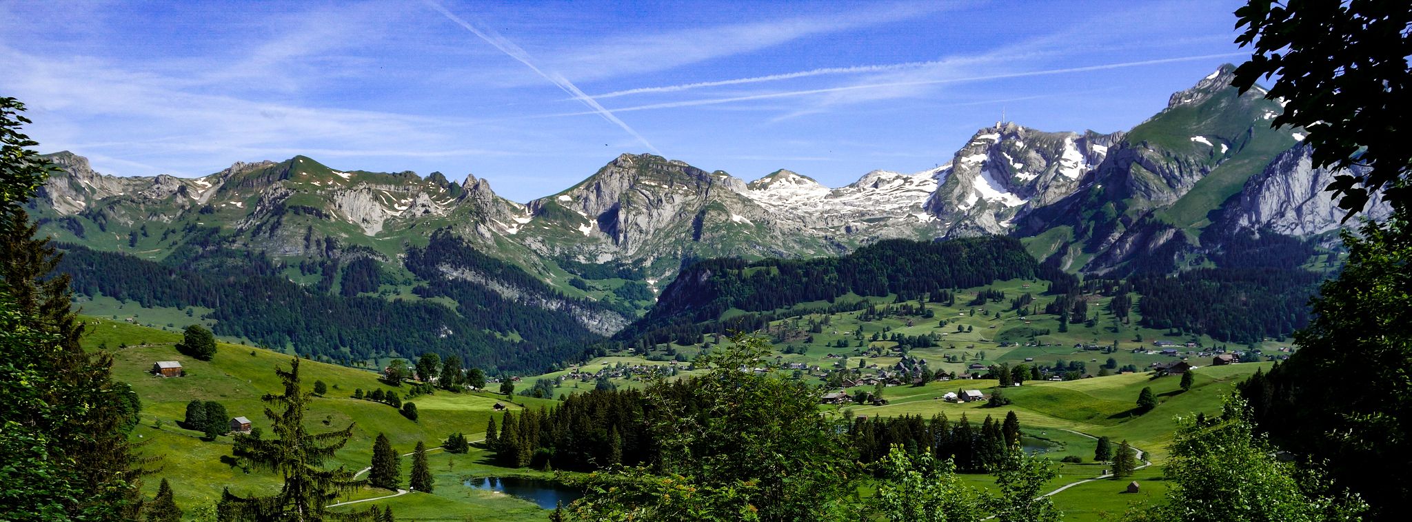
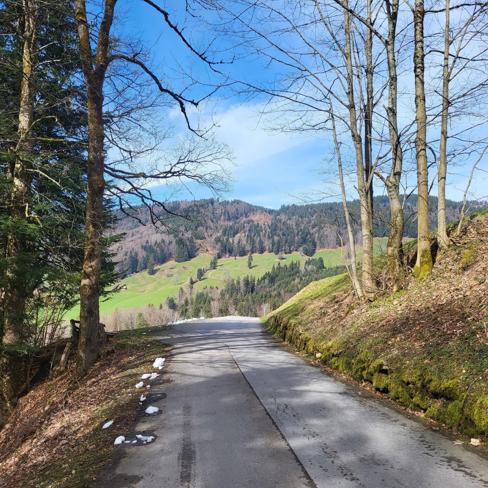
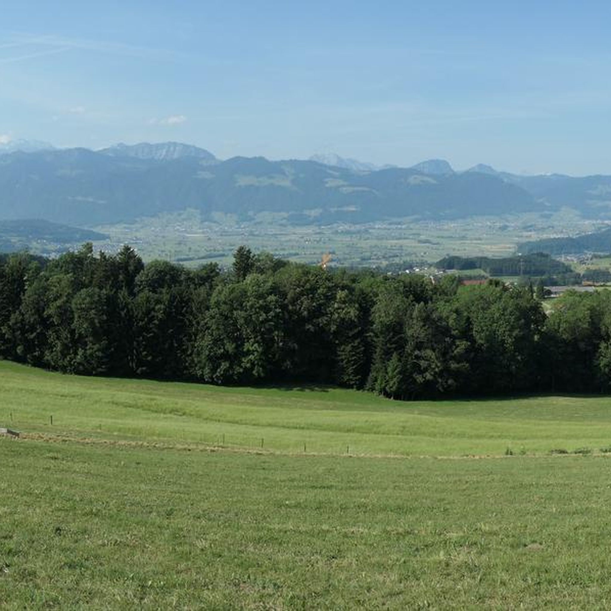
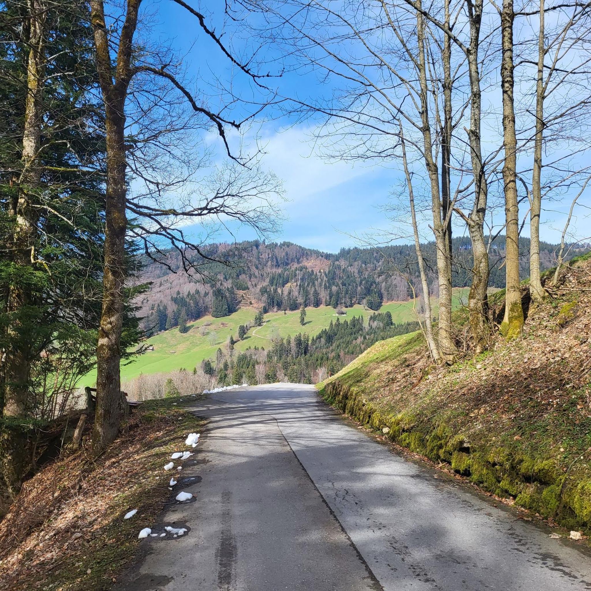
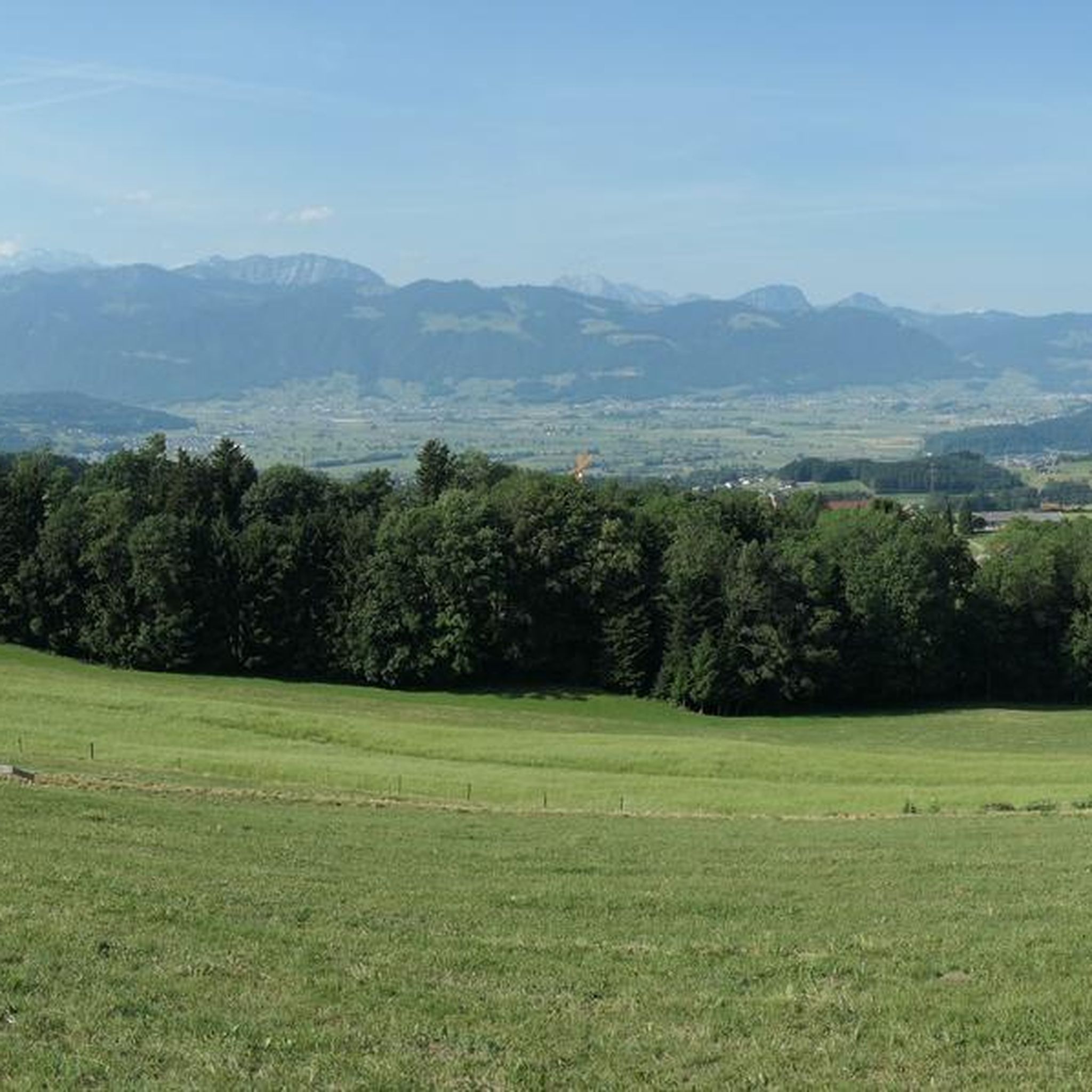
Other adventures around Gommiswald

Tips from the Community

Monday rest day. Nevertheless beautiful view.
0
0

Conditionally very demanding. 200m steep running section.
0
0


A beautifully designed break area with seating, a fireplace, and firewood is available. The perfectly designed mountain display provides a glimpse into the world of the summits.
0
0

A short break at the Federihütte is definitely worth it! Whether for a freshly made fruit tart or a refreshing drink.
0
0

You can also stay overnight in the alpine hut. Contact information for reservations can be found on the alpine hut's website: https://www.alp-oberchaeseren.ch/zalp/
1
0

The terrace offers stunning views of the Glarus Alps, the Churfirsten Mountains, and the Bernese Oberland. The hike from Hüttenberg takes about 45 minutes, and from Schutt, about an hour. https://www.bergrestaurant-atzmaennig.ch/
2
0
The highest point of the Rickener Nagelfluh range. This mountain is ideal for combining with a longer hike between Rotstein and Chrüzegg or Chummibarren. Beautiful views toward Säntis. In spring, numerous white crocuses bloom on the slopes of the Obere Tweralp.
2
0
Frequently Asked Questions
Are there any easier mountaineering routes around Gommiswald for beginners?
While many routes in Gommiswald are challenging, there are some moderate options suitable for those with some experience. For example, the Tweralpspitz – Chümibaren loop from Eschenbach (SG) is a moderate 6.5-mile (10.5 km) path offering great views without extreme difficulty. It's always recommended to assess your fitness and experience before choosing a route.
What are the most challenging mountaineering routes in the Gommiswald area?
Gommiswald is known for its demanding alpine terrain. Routes like the Speer Via Ferrata – Speer Summit loop from Speer, which includes a via ferrata section, and the View of the Rhine Valley – Federispitz Summit loop from Federispitz, with over 1000m of elevation gain, offer significant challenges for experienced mountaineers.
Are there circular mountaineering routes available in Gommiswald?
Yes, many of the mountaineering routes around Gommiswald are designed as loops, allowing you to start and end at the same point. Examples include the Speer Summit – Chüemettler loop from Speer and the Obere Bogmen Alm – Gleiterspitz (1,537 m) loop from Speer, providing varied terrain and scenic views.
What is the best time of year for mountaineering in Gommiswald?
The prime season for mountaineering in Gommiswald is typically from late spring through early autumn (June to October), when trails are generally free of snow and weather conditions are more stable. Always check local weather forecasts and trail conditions before heading out, especially for higher alpine routes.
Are there any family-friendly mountaineering options around Gommiswald?
While many routes are challenging, families with older, experienced children might enjoy some of the moderate sections or shorter loops. For younger children or less experienced families, consider exploring the lower-altitude trails or highlights like the Seerenbach Falls, which offer natural beauty without the full demands of high-alpine mountaineering.
Can I bring my dog on the mountaineering trails in Gommiswald?
Many trails in the Gommiswald region are dog-friendly, but it's crucial to keep your dog on a leash, especially in alpine pastures where livestock may be present, and to respect local regulations. Always ensure your dog is fit enough for the chosen route and carry enough water for both of you.
What kind of natural attractions or landmarks can I see along the routes?
The Gommiswald area is rich in natural beauty. Along your mountaineering routes, you might encounter impressive summits like Federispitz or Schnebelhorn Summit. Other notable natural features include the stunning Seerenbach Falls and the unique Bachtelspalt gorge.
Are there opportunities for refreshments or cafe stops along the mountaineering routes?
While specific cafe stops directly on every high-alpine route are rare, many trails pass by or are near mountain huts (Alpen) or small restaurants in valleys or villages. It's advisable to check the specific route details on komoot for points of interest or refreshment stops before you set out, and always carry sufficient water and snacks.
How many mountaineering routes are available in the Gommiswald region?
There are over 20 dedicated mountaineering routes around Gommiswald, offering a wide range of challenges and scenic experiences. This includes 4 moderate routes and 16 difficult routes, catering to various skill levels.
What do other mountaineers enjoy most about the routes in Gommiswald?
The mountaineering routes in Gommiswald are highly rated by the komoot community, with an average score of 4.7 stars. Reviewers often praise the challenging ascents, the diverse alpine landscapes, and the rewarding summit views, particularly from peaks like Speer and Federispitz.
Is public transport an option for accessing mountaineering trailheads in Gommiswald?
Public transport connections to trailheads can vary. While some starting points in larger villages might be accessible by bus or train, many high-alpine routes require access by car or a combination of public transport and a short walk. It's best to check specific route starting points and local transport schedules for detailed planning.
Where can I find parking for mountaineering trails in Gommiswald?
Parking availability varies by trailhead. Many popular starting points, especially in villages or near cable car stations, offer designated parking areas, often for a fee. For more remote trailheads, parking might be limited. Always plan your parking in advance and respect local regulations.
Are there any less-known or 'hidden gem' mountaineering trails in Gommiswald?
While the prominent peaks like Speer and Federispitz attract many, exploring routes that traverse lesser-known ridges or valleys can offer a more secluded experience. Consider routes that might not lead directly to a major summit but still provide stunning alpine scenery and a sense of tranquility. Checking komoot for routes with fewer reviews can sometimes reveal these hidden gems.
Most popular routes around Gommiswald
Most popular attractions around Gommiswald

Get inspired with the komoot mobile app


Explore more
Browse the best Mountain Hikes & Routes in other regions.
