The best MTB trails around Baudonvilliers
4.4
(23)
121
riders
39
rides
Mountain bike trails around Baudonvilliers are situated within France's Meuse department, part of the Grand Est region. The area features a varied topography, including forests, rolling hills, and river valleys, which provide diverse terrain for mountain biking. This landscape offers a mix of forest singletracks and paths along waterways, catering to different riding preferences. The region's natural environment supports outdoor activities, making it suitable for exploring on two wheels.
Best mountain bike trails around Baudonvilliers
- The most popular mountain bike…
Last updated: June 25, 2026
4.8
(4)
24
riders
52.3km
03:54
440m
440m
Moderate mountain bike ride. Good fitness required. Suitable for all skill levels.
5.0
(3)
19
riders
68.1km
03:46
210m
210m
Moderate mountain bike ride. Good fitness required. Suitable for all skill levels.

Sign up for free
19
riders
30.2km
02:19
220m
220m
Moderate mountain bike ride. Good fitness required. Advanced riding skills necessary.
3.9
(14)
17
riders
42.2km
03:34
430m
430m
Moderate mountain bike ride. Good fitness required. Suitable for all skill levels.
4.7
(3)
27
riders
54.1km
04:20
490m
490m
Moderate mountain bike ride. Good fitness required. Advanced riding skills necessary.
Get access to more routes and recommendations from other explorers.
Sign up for free
Already have an account?
Our route recommendations are based on thousands of hikes, rides, and runs completed by other people on komoot.
Start today with a free account
Your next adventure awaits.
Login or Signup

Tips from the Community

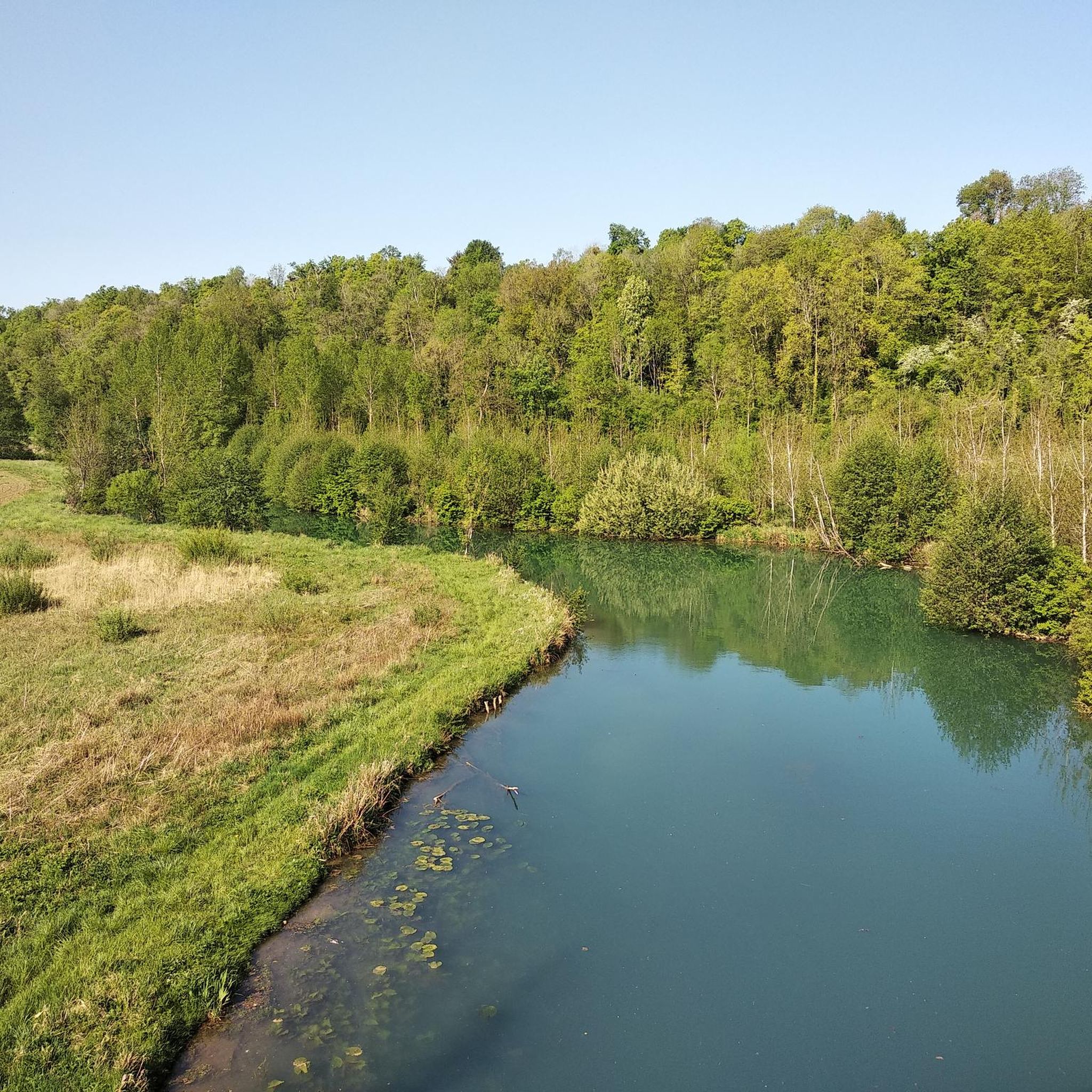
This is the supply canal from the Marne to the lake, the canal is 12 kilometers long.
1
0
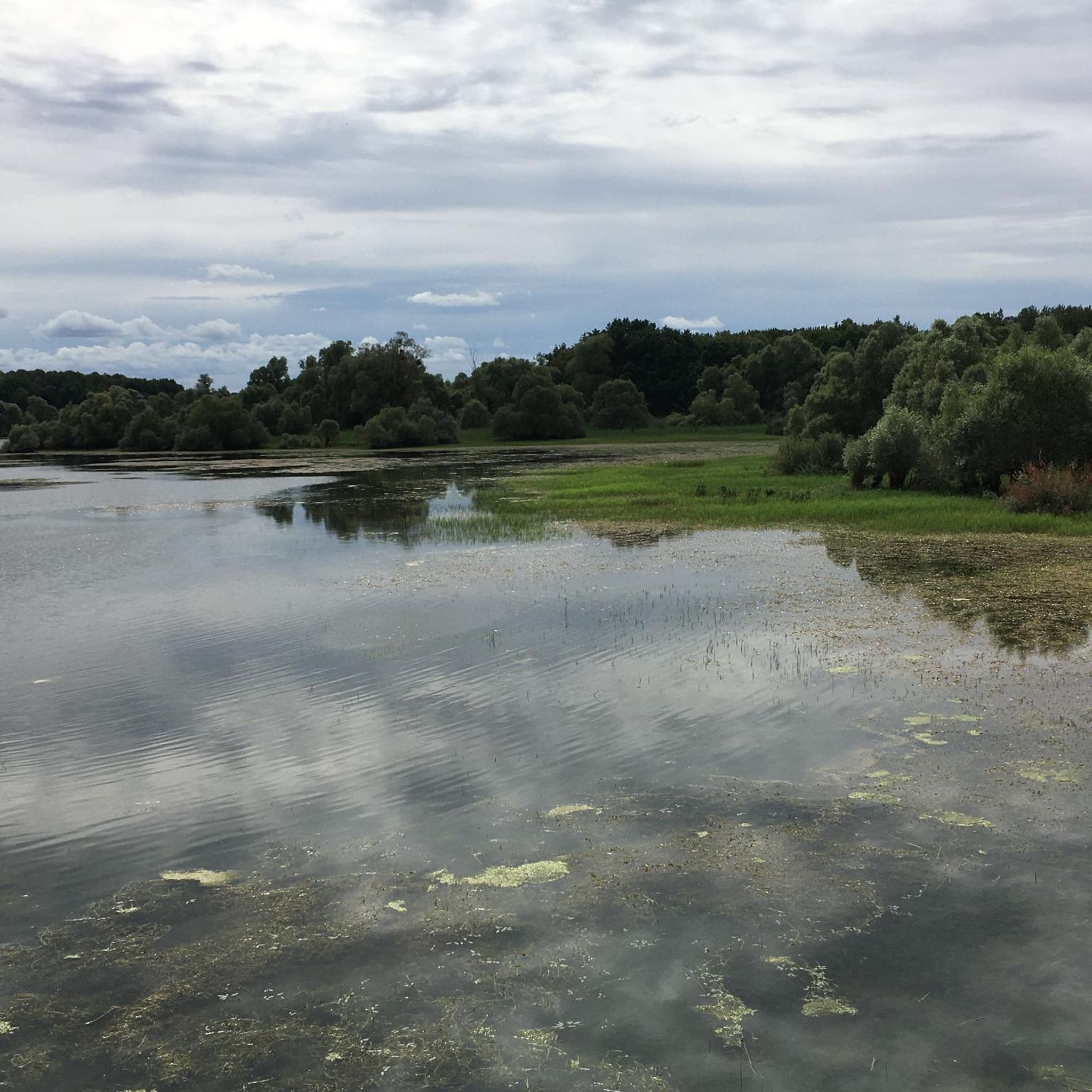
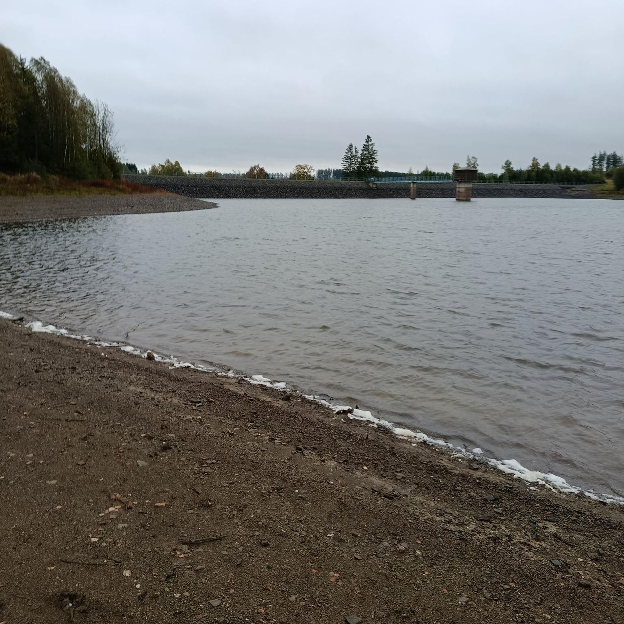
The lake's water level is at its highest at the end of June, and at its lowest at the end of October - at that time, a large part of the lake is flooded, and the remains of the stumps of the former trees can still be seen.
0
0

View of the lake and the only kind bird world
3
0
Now at the beginning of October it is simply beautiful 🤩
1
0
Beautiful reservoir with many nature reserves and a huge number of birds
3
0

The Der Museum is open every day from 9:30 am to 7:00 pm. It traces the history of the lake and allows you to understand its functioning and its usefulness. You can also learn more about the historical and natural heritage of the Champagne countryside.
1
0
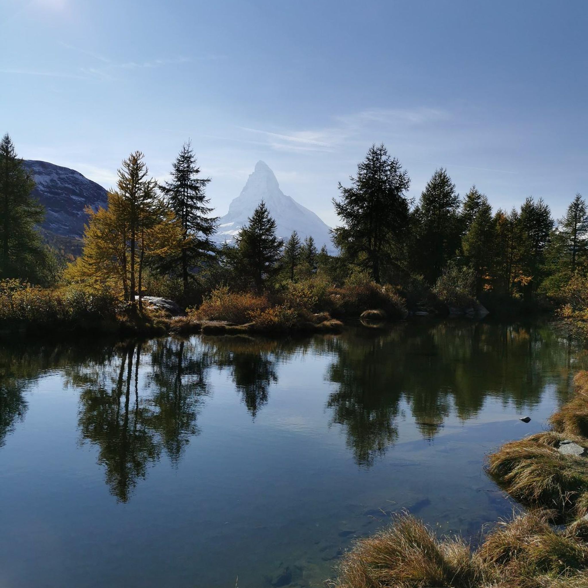
From here, you have a unique view of Lake Der with a wooded peninsula in the background which closes the panorama.
1
0

Beautiful little footbridge to cross the canal at its entrance into the Der reservoir. To the north you have a panoramic view of the canal as far as the eye can see, and to the south you can see the dam.
2
0
Frequently Asked Questions
How many mountain bike trails are there around Baudonvilliers?
There are over 35 mountain bike trails available around Baudonvilliers. These routes offer a variety of experiences across the diverse terrain of the Meuse department.
What are the difficulty levels of mountain bike trails around Baudonvilliers?
The trails around Baudonvilliers cater to various skill levels. You'll find a good mix of routes, with 13 classified as easy and 26 as moderate. Currently, there are no difficult trails listed, making the area suitable for beginners and intermediate riders looking for enjoyable rides through forests, hills, and river valleys.
What kind of terrain can I expect when mountain biking near Baudonvilliers?
The Meuse department, where Baudonvilliers is located, features a varied topography. You can expect to ride through forests, over rolling hills, and along river valleys. This diverse landscape offers a mix of forest singletracks and paths alongside waterways, providing different experiences for mountain bikers.
Are there family-friendly mountain bike trails in the Baudonvilliers area?
Yes, the region offers several easy routes suitable for families. For instance, the View of the canal 👀 – Canal bridge loop from Saint-Dizier is an easy 20-mile (32.2 km) trail that follows the canal and rural landscapes, making it a good option for a family outing.
Are mountain bike trails around Baudonvilliers dog-friendly?
Many natural trails in the Meuse department are generally dog-friendly, especially if your dog is well-behaved and kept on a leash. However, it's always recommended to check local signage or specific trail regulations, particularly in nature reserves or protected areas, to ensure dogs are permitted.
What natural features or landmarks can I see while mountain biking near Baudonvilliers?
While exploring the trails, you can encounter various points of interest. Notable attractions include the Canal d'Amenée and the Canal-Side Pathway, which offer scenic rides. For historical interest, you might pass by the Ruins of the Abbey of Trois-Fontaines or the Saint-Dizier castle and fortifications. The Rupt du Puits cave system also offers a unique natural feature.
Is there parking available near the mountain bike trails in Baudonvilliers?
Parking is generally available in and around Baudonvilliers, especially in villages and near trailheads. Many routes, such as the Saracen cave loop from Saint-Dizier, often start from towns or designated parking areas, making it convenient to access the trails.
How can I reach Baudonvilliers by public transport for mountain biking?
Baudonvilliers is a small village, and direct public transport options might be limited. However, the broader Meuse department is accessible via regional train services to larger towns like Saint-Dizier, which is a common starting point for several mountain bike routes, including the View of the Miko Tower – View of the canal 👀 loop from Saint-Dizier. From these towns, local bus services or taxis might connect to Baudonvilliers, or you can cycle to the trailheads.
Are there any regional mountain biking networks or long-distance trails in the Meuse department?
Yes, the Meuse department is part of a wider cycling network. The "Meuse by Bike" is a marked trail that offers an easy route suitable for various cycling disciplines, including mountain biking, allowing riders to experience the scenic Meuse valley. You can find more information about this route on VisitArdenne or France Vélo Tourisme. The Parc naturel régional de Lorraine, which encompasses diverse landscapes, also offers mountain biking trails.
What do other mountain bikers say about the trails in Baudonvilliers?
The mountain bike trails around Baudonvilliers are highly rated by the komoot community, with an average score of 4.5 stars from over 18 reviews. More than 140 mountain bikers have used komoot to explore the varied terrain, often praising the quiet woodlands and diverse landscapes that make for an enjoyable riding experience.
What is the best time of year to mountain bike in Baudonvilliers?
The best time to mountain bike in Baudonvilliers is typically from spring through autumn (April to October). During these months, the weather is generally mild and pleasant, and the trails are less likely to be muddy or covered in snow. The diverse landscapes, including forests and river valleys, are particularly beautiful during these seasons.
Are there any circular mountain bike routes available near Baudonvilliers?
Yes, many of the mountain bike trails in the area are designed as loops, offering convenient circular routes. For example, the Brillon buckle – A looping 42km loop from Brillon-en-Barrois is a popular moderate route that winds through forests and rolling hills, starting and ending in Brillon-en-Barrois.
Most popular routes around Baudonvilliers
Most popular attractions around Baudonvilliers

Get inspired with the komoot mobile app


Explore more
Browse the best MTB trails in other regions.
