The best road cycling routes around Aiti
4.8
(70)
1,188
riders
31
rides
Road cycling around Aiti offers diverse landscapes characterized by significant elevation changes and mountainous terrain. The region features numerous passes and gorges, providing challenging ascents and descents. Cyclists can expect well-paved surfaces on routes that traverse varied natural settings, often leading to panoramic viewpoints.
Best road cycling routes around Aiti
- The most popular road cycling route is To the top of Ragia Buia, a 30.3 miles (48.8 km) trail that takes 2 hours 42 minutes to complete. This route…
Last updated: June 28, 2026
4.8
(4)
17
riders
48.8km
02:42
1,040m
1,040m
Hard road ride. Very good fitness required. Mostly well-paved surfaces and easy to ride.
5.0
(1)
75
riders
83.5km
04:16
1,420m
1,420m
Hard road ride. Very good fitness required. Mostly well-paved surfaces and easy to ride.

Sign up for free
5.0
(2)
87
riders
95.8km
04:58
1,690m
1,690m
Hard road ride. Very good fitness required. Mostly well-paved surfaces and easy to ride.
4.0
(2)
66
riders
117km
06:23
2,350m
2,350m
Hard road ride. Very good fitness required. Mostly well-paved surfaces and easy to ride.
28
riders
77.0km
04:02
1,400m
1,400m
Hard road ride. Very good fitness required. Mostly well-paved surfaces and easy to ride.
Get access to more routes and recommendations from other explorers.
Sign up for free
Already have an account?
Our route recommendations are based on thousands of hikes, rides, and runs completed by other people on komoot.
Start today with a free account
Your next adventure awaits.
Login or Signup
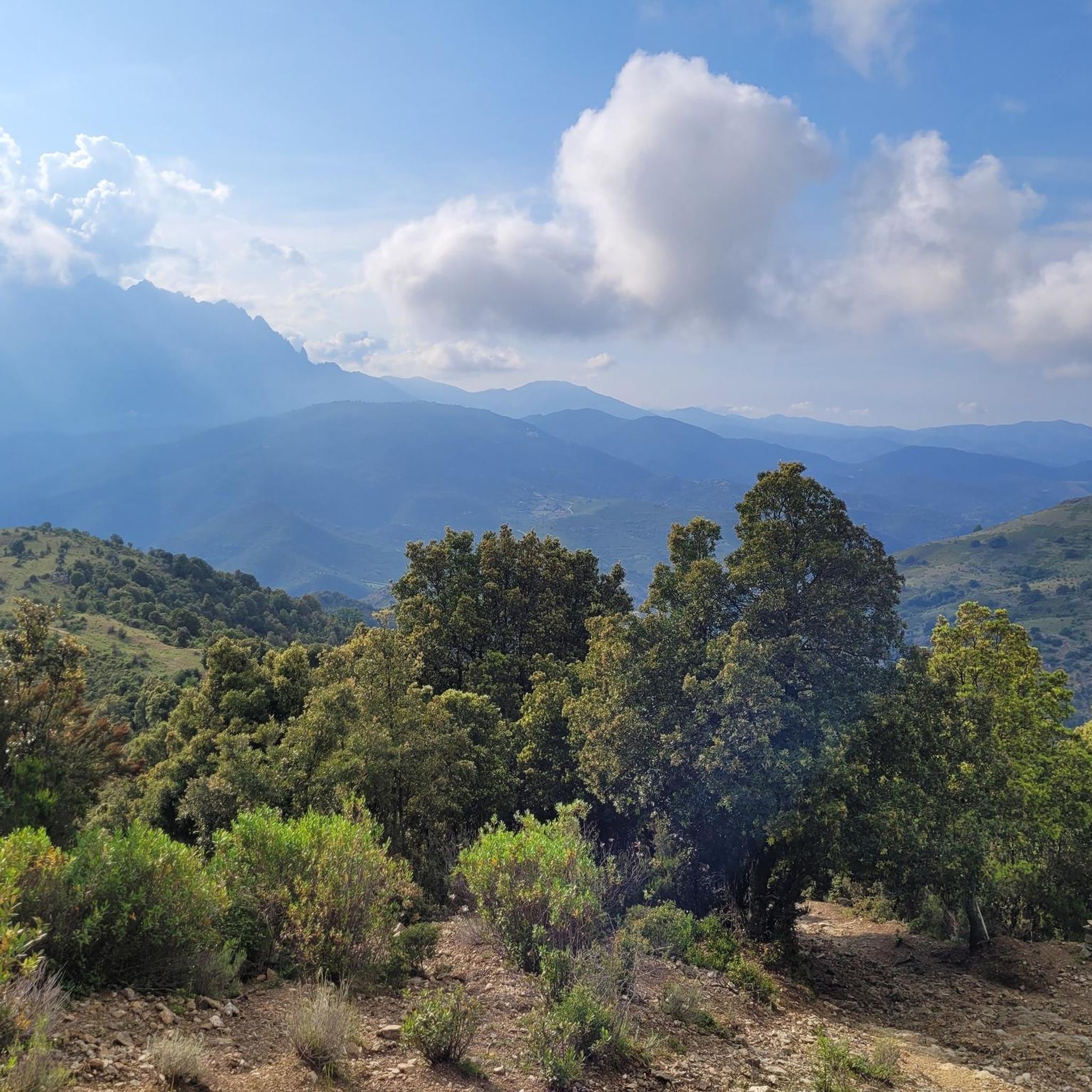
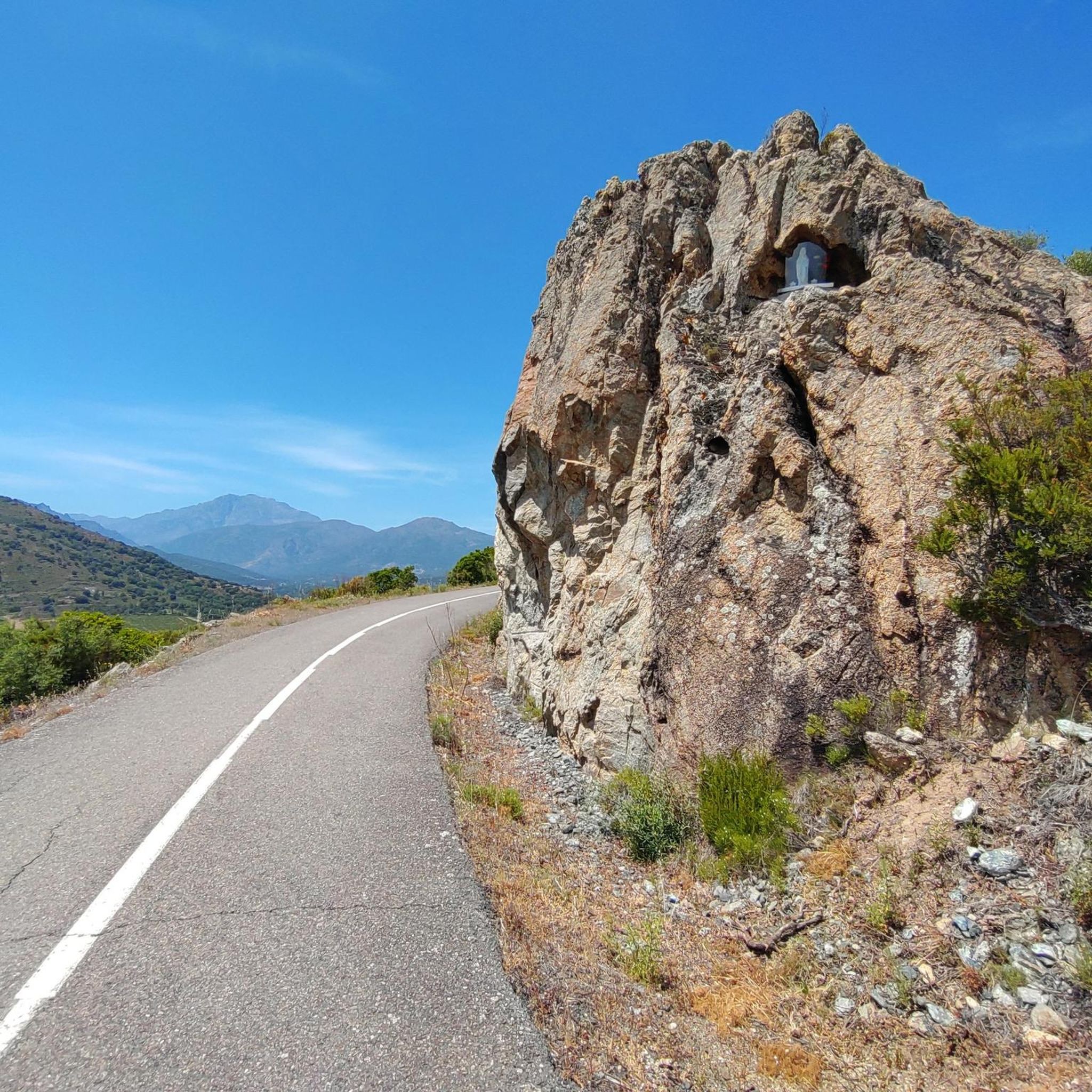

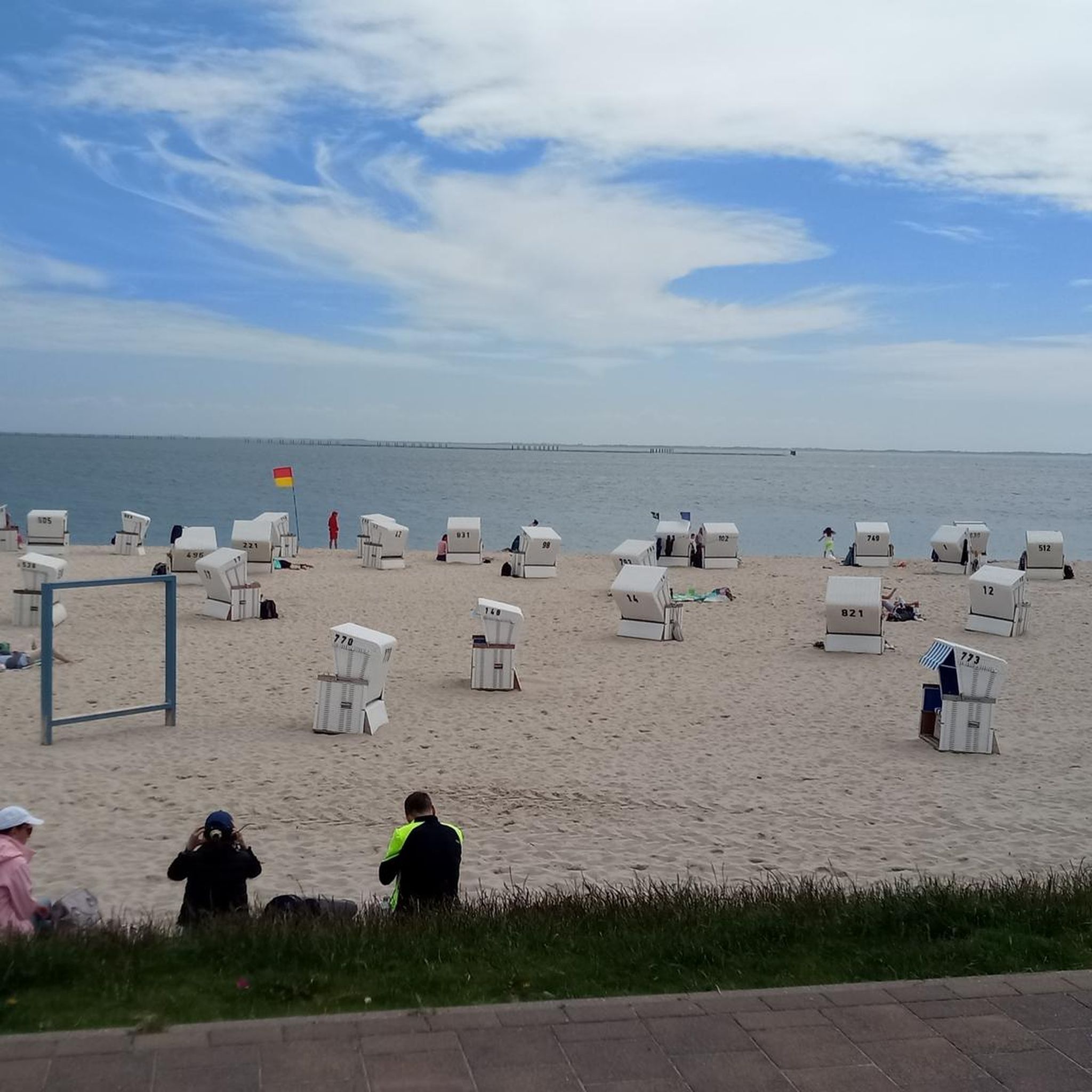
Tips from the Community

The village has had its Church of Saint Thomas since 1269, built by Andrea Malaspina. Amidst its arcades and numerous so-called "venelles," it houses a 16th-century image of the Virgin and Child, a 17th-century holy water font, and a marble statue of Saint Anthony the Baptist, discovered near Lozari. The latter, coveted by several communities, was therefore transported by oxen on a cart across the region and given to the village where the animals first stopped.
0
0

Beautiful route. Very quiet, only local traffic. Beautiful views. Fantastic descent after Bustanico with wide asphalt and gentle curves. 10 km of downhill riding at its finest.
0
0


Nice place for lunch break
0
0

Start of a very nice walk
0
0

very pretty here, very pretty
0
0

A somewhat untypical café for Corsica. Charming and funny.
0
0
Great road surrounded by peace and nature. Extremely little traffic. Insider tip for racing cyclists!
0
0
Frequently Asked Questions
What is the general difficulty level of road cycling routes in Aiti?
Road cycling in Aiti is characterized by significant elevation changes and mountainous terrain, making most routes challenging. Out of 30 available routes, 22 are classified as difficult and 8 as moderate, with no easy routes. Cyclists should expect sustained climbing and long-distance rides.
Are there any beginner-friendly road cycling routes in Aiti?
Aiti's road cycling routes are primarily designed for experienced cyclists. The region features challenging mountain passes and deep gorges, with all 30 routes classified as either moderate or difficult. There are no easy routes available for beginners.
What are some of the most challenging road cycling routes in Aiti?
For experienced cyclists seeking a challenge, routes like Belgodère – View of Losari and Belgodère loop from Ponte Leccia stand out, covering over 72 miles (116 km) with more than 7,700 feet (2,300 m) of elevation gain. Another demanding option is the Croce d'Arbitro Pass – Asco Gorges loop from Francardo, which is nearly 60 miles (95 km) long and features over 5,500 feet (1,600 m) of climbing.
Are there circular road cycling routes available in Aiti?
Yes, Aiti offers several notable circular road cycling routes. Popular options include the Santa Regina Pass – Vergio Pass loop from Omessa, which traverses two significant mountain passes, and the Col Sant'Antone – Bocca d'Ominada loop from Ponte Leccia, leading through varied mountainous terrain.
What kind of terrain and surfaces can I expect on Aiti's road cycling routes?
Aiti's road cycling routes feature diverse landscapes with significant elevation changes, including numerous passes and gorges. Cyclists can expect mostly well-paved surfaces, though the challenging nature of the terrain means sustained climbs and descents are common, often leading to panoramic viewpoints.
What scenic viewpoints can I find along road cycling routes in Aiti?
Many routes in Aiti lead to stunning panoramic viewpoints. You can find excellent views at Above Corte and the View of the Valley from Zucca Rello, offering expansive vistas of the region's mountainous landscape.
Are there any natural attractions to see while road cycling in Aiti?
Yes, Aiti's natural beauty can be explored along its cycling routes. Highlights include the picturesque Struccia Waterfall, the serene Natural Pools on the Fiume Tavignano, and the dramatic Gorges de l'Asco.
What historical sites or landmarks can I explore near Aiti's road cycling routes?
While road cycling in Aiti, you can discover several historical and cultural landmarks. The Orezza Monastery Ruins offer a glimpse into the region's past, and the area around Piedicroce also holds historical significance.
How long do road cycling routes typically take to complete in Aiti?
The duration of road cycling routes in Aiti varies significantly based on distance and elevation. For example, the popular To the top of Ragia Buia, a 30.3-mile (48.8 km) route with over 3,400 feet (1,038 m) of climbing, typically takes around 2 hours 42 minutes. Longer, more challenging loops can take 4 hours or more.
What do other road cyclists enjoy most about road cycling in Aiti?
The komoot community highly rates road cycling in Aiti, with an average score of 4.8 stars from over 40 reviews. Reviewers often praise the challenging mountain passes, the diverse elevation profiles, and the panoramic viewpoints that reward their efforts.
Is Aiti suitable for long-distance road cycling tours?
Yes, Aiti is well-suited for long-distance road cycling tours, particularly for those seeking significant climbs and extended rides. Many routes, such as the Belgodère – View of Losari and Belgodère loop from Ponte Leccia, exceed 50 miles (80 km) and offer sustained challenges across varied terrain.
Most popular attractions around Aiti

Get inspired with the komoot mobile app


Explore more
Browse the best Road cycling routes in other regions.
