The best mountain hikes in the Thal Nature Park
5.0
(17)
97
hikers
21
hikes
Mountaineering in the Thal Nature Park, nestled within the Jura Mountains, offers diverse landscapes characterized by rolling hillsides, rugged limestone cliffs, and impressive gorges. The park features 63 named mountains, with the highest peaks reaching over 1,300 meters, providing significant elevation changes. This varied topography includes forested sections, vast meadows, and the Dünnern River valley, creating an environment suitable for challenging ascents and descents.
Best mountaineering routes in the Thal Nature Park
- The most popular mountaineering route is Roggenflue Viewpoint…
Last updated: July 6, 2026
5.0
(3)
23
hikers
7.79km
03:44
650m
650m
Hard mountaineering route. Good fitness required. Sure-footedness, sturdy shoes and alpine experience required.
5.0
(2)
9
hikers
4.62km
03:03
540m
540m
Hard mountaineering route. Good fitness required. Sure-footedness, sturdy shoes and alpine experience required.

Sign up for free
7
hikers
7.52km
03:49
630m
620m
Hard mountaineering route. Good fitness required. Sure-footedness, sturdy shoes and alpine experience required.
5.0
(1)
8
hikers
7.60km
02:40
350m
350m
Moderate mountaineering route. Good fitness required. Mostly accessible paths. Sure-footedness required.
2
hikers
Hard mountaineering route. Very good fitness required. Sure-footedness, sturdy shoes and alpine experience required.
5.0
(2)
4
hikers
14.1km
06:04
900m
900m
Hard mountaineering route. Very good fitness required. Sure-footedness, sturdy shoes and alpine experience required.
2
hikers
Moderate mountaineering route. Good fitness required. Mostly accessible paths. Sure-footedness required.
5.0
(1)
6
hikers
6.17km
03:55
710m
710m
Hard mountaineering route. Good fitness required. Sure-footedness, sturdy shoes and alpine experience required.
5.0
(1)
3
hikers
11.2km
03:29
410m
410m
Moderate mountaineering route. Good fitness required. Mostly accessible paths. Sure-footedness required.
6
hikers
7.27km
03:25
620m
610m
Hard mountaineering route. Good fitness required. Sure-footedness, sturdy shoes and alpine experience required.
Get access to more routes and recommendations from other explorers.
Sign up for free
Already have an account?
Our route recommendations are based on thousands of hikes, rides, and runs completed by other people on komoot.
Start today with a free account
Your next adventure awaits.
Login or Signup
Popular around Thal Nature Park

Mountain Hikes around Herbetswil

Mountain Hikes around Welschenrohr-Gänsbrunnen

Mountain Hikes around Gänsbrunnen

Mountain Hikes around Aedermannsdorf

Mountain Hikes around Matzendorf
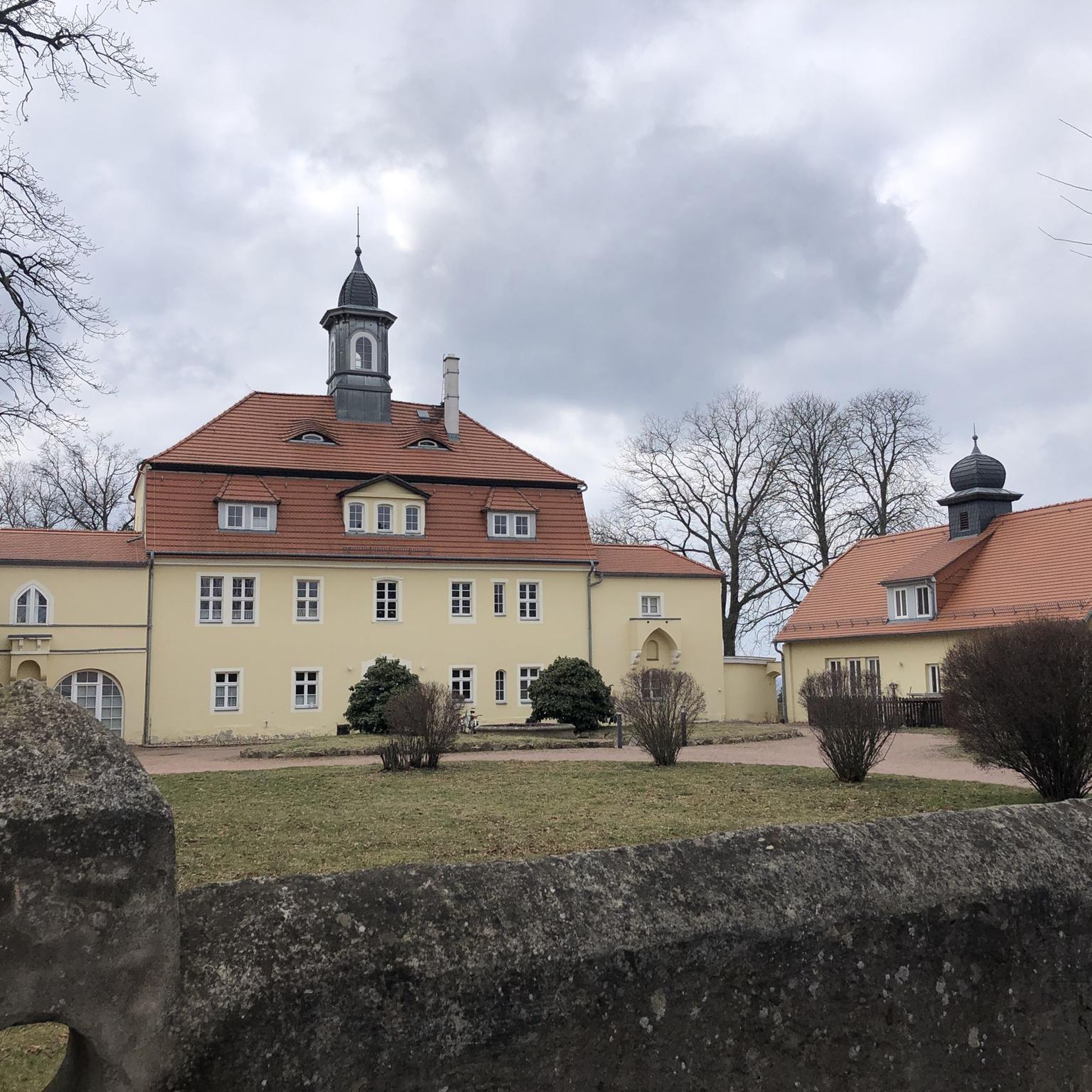
Mountain Hikes around Mümliswil-Ramiswil

Mountain Hikes around Laupersdorf
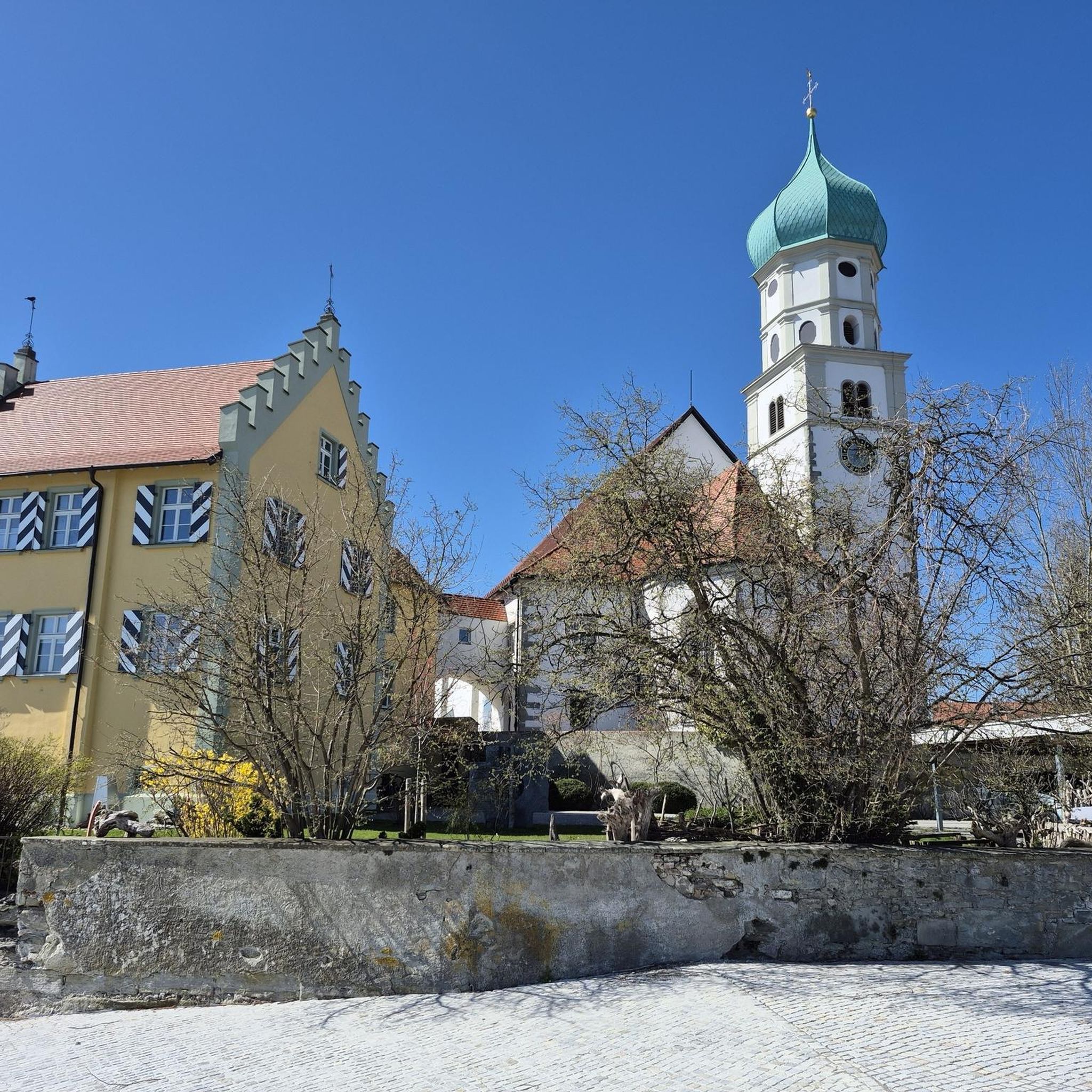
Mountain Hikes around Balsthal
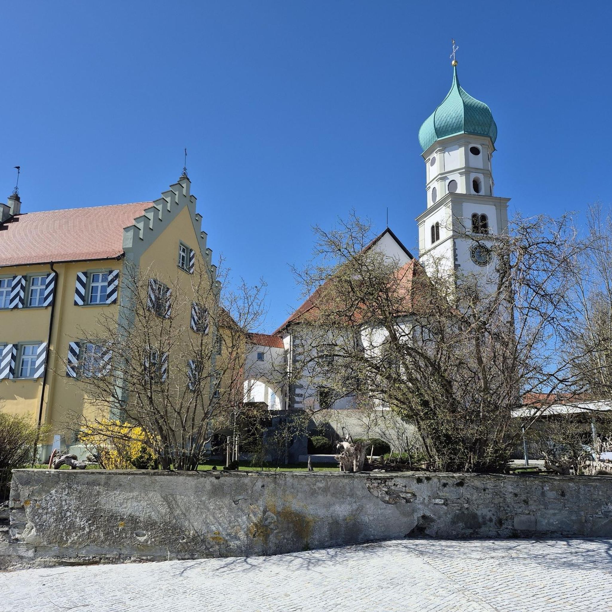
Mountain Hikes around Holderbank (SO)
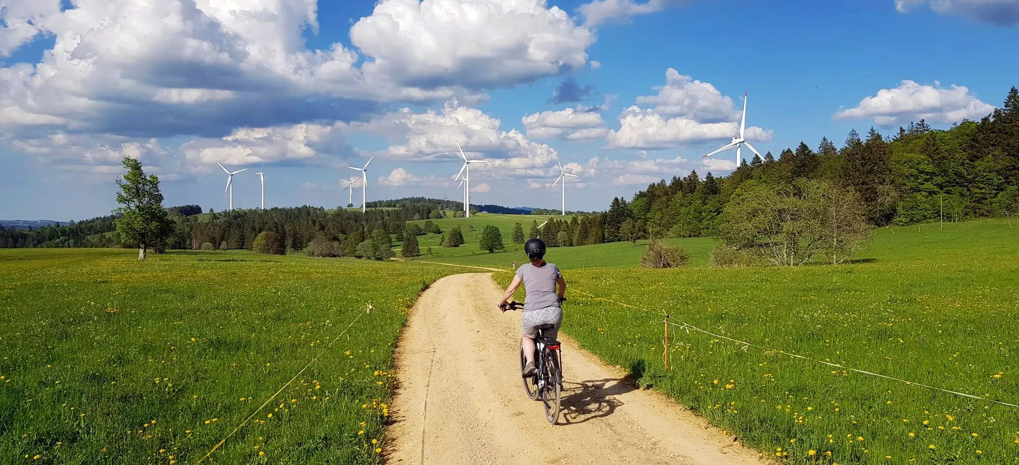
Arc jurassien in Switzerland – 4 stages through the wild Jura Mountains
Other adventures in the Thal Nature Park


Tips from the Community

pretty here, very pretty
1
0

The Herrenloch is a cave with two entrances - a kind of tunnel - below the Balmfluechöpfli. It can be reached by trails both from the west ridge of the Balmfluechöpfli and as the end of the Hornpfad. The exit on the east side is reserved for the very experienced only; there has also been a fatal fall here. From the western entrance of the Herrenloch, you can also climb directly to the summit of the Balmfluechöpfli via trails.
0
0

wonderful and very beautiful area here
2
0
wonderful and very beautiful area here
3
0
pretty here, very pretty
0
2
Frequently Asked Questions
How many mountaineering routes are available in Thal Nature Park?
Thal Nature Park offers a wide selection of mountaineering routes, with over 20 tours available. These routes cater to various skill levels, ranging from moderate to difficult challenges.
Are there routes suitable for beginners or those seeking a moderate challenge?
Yes, Thal Nature Park provides options for different experience levels. While many routes are classified as difficult, there are 8 moderate mountaineering routes available. An example of a moderate route is the Chilchzimmersattel – Belchenflue Summit Viewpoint loop from Langenbruck, which covers about 11.2 km.
What kind of natural features can I expect to see on mountaineering routes in Thal Nature Park?
The park's mountaineering routes traverse diverse landscapes, including rolling hillsides, rugged limestone cliffs, and impressive gorges. You'll encounter forested sections, vast meadows, and the scenic Dünnern River valley. Notable natural attractions include the dramatic Wolf Gorge, known for its high rock walls and caves, and the geological trail at Gänsbrunnen.
Are there any circular mountaineering routes in the park?
Many of the mountaineering routes in Thal Nature Park are designed as loops, allowing you to start and finish at the same point. For instance, you could explore the View from Balmfluehchöpfli – Herrenloch Cave loop from Balm b. Günsberg, a challenging 4.7 km circuit with significant elevation changes.
What are some notable viewpoints or landmarks I can reach on a mountaineering tour?
Thal Nature Park boasts several prominent viewpoints offering breathtaking panoramic vistas. You can reach destinations like Wasserfallen (922m), Balmberg (1,078m), and Hinterer Weissenstein (1,395m). A challenging route like the View from Balmfluehchöpfli – Röti Summit (1,395 m) loop from Balm b. Günsberg will take you to high-altitude views. You can also visit historical sites such as the Ruins of Neu-Falkenstein Castle.
Can I find places to eat or stay near the mountaineering trails?
Yes, there are several options for refreshments and accommodation. You'll find mountain inns and restaurants conveniently located near the trails. Consider stopping at the Hintere Wasserfallen Mountain Inn or the Obere Tannmatt mountain inn for a break during your tour.
What is the best season for mountaineering in Thal Nature Park?
The best time for mountaineering in Thal Nature Park is generally from spring to autumn when the weather is milder and trails are clear of snow. Summer offers pleasant conditions, especially in shaded gorges like the Wolfsschlucht, which remains cool. While some areas are accessible in winter, specific routes might be affected by snow and ice, requiring appropriate gear and caution.
Are there any family-friendly mountaineering options?
While many routes are challenging, families looking for a strenuous hike can find suitable options. The park's diverse terrain means there are trails that, while still demanding, might be manageable for active families. For a moderate experience, consider the Röti Summit (1,395 m) loop from Balm b. Günsberg, which is shorter and offers rewarding views.
How accessible are the mountaineering routes by public transport or car?
Thal Nature Park is generally well-connected. Many trailheads are accessible by public transport, and parking facilities are often available near popular starting points. It's advisable to check specific route descriptions for detailed information on public transport links and parking options for your chosen tour.
What are the typical elevation gains on these routes?
Mountaineering routes in Thal Nature Park feature significant elevation changes, reflecting the rugged Jura terrain. You can expect elevation gains ranging from around 300 meters for shorter, moderate routes to over 900 meters for more difficult and longer tours. For example, the Gitziflue Viewpoint – Hasenmatt Summit Cross loop from Oberdorf SO involves nearly 900 meters of ascent.
What do other mountaineers say about the routes in Thal Nature Park?
The mountaineering routes in Thal Nature Park are highly regarded by the komoot community, holding an impressive average score of 5.0 stars from over 10 reviews. Nearly 100 mountaineers have explored the park's varied terrain using komoot, often praising the challenging ascents, panoramic views, and the natural beauty of the Jura landscape.
Can I spot wildlife while mountaineering in the park?
Thal Nature Park is home to a rich variety of flora and fauna typical of the Swiss Jura Mountains. With its low human population density, you have a good chance of observing wildlife such as western roe deer, fallow deer, brown hare, and wild boar. Keep an eye out for chamois and lynxes, though they are more elusive.
Are there any less-known or 'hidden gem' routes for mountaineering?
While popular routes offer stunning views, exploring some of the less-trafficked paths can reveal hidden gems. The Cholberg loop from Welschenrohr is a moderate 12.1 km route that offers a rewarding experience away from the busiest trails, allowing for a more serene mountaineering adventure.
Most popular routes in the Thal Nature Park
Most popular attractions in the Thal Nature Park

Get inspired with the komoot mobile app


Didn’t find what you were looking for?
Check out more Mountain Hikes & Routes throughout Thal Nature Park below and find the perfect route in your destination.
