The best running trails around Pervenchères
4.3
(22)
623
runners
77
runs
Jogging routes around Pervenchères traverse a landscape characterized by gentle hills, woodlands, and open rural paths. The region offers a mix of terrain suitable for various fitness levels, from short, easy loops to longer, more challenging runs. Elevation changes are generally moderate, providing varied experiences without significant climbs.
Best jogging routes around Pervenchères
- The most popular jogging route is Château de Montimer — loop — running from La Perrière in the Perche Regional Natural Park, a 3.6 miles (5.8…
Last updated: October 12, 2026
5.0
(1)
5
runners
Moderate run. Good fitness required. Mostly paved surfaces. Suitable for all skill levels.
6
runners
4.63km
00:29
20m
20m
Easy run. Great for any fitness level. Mostly paved surfaces. Suitable for all skill levels.

5
runners
9.22km
00:58
100m
100m
Moderate run. Good fitness required. Mostly paved surfaces. Suitable for all skill levels.
6
runners
11.2km
01:13
90m
90m
Moderate run. Good fitness required. Mostly paved surfaces. Suitable for all skill levels.
4
runners
9.65km
01:01
90m
90m
Moderate run. Good fitness required. Mostly paved surfaces. Suitable for all skill levels.
Get access to more routes and recommendations from other explorers.
Already have an account?
Our route recommendations are based on thousands of hikes, rides, and runs completed by other people on komoot.
Start today with a free account
Your next adventure awaits.

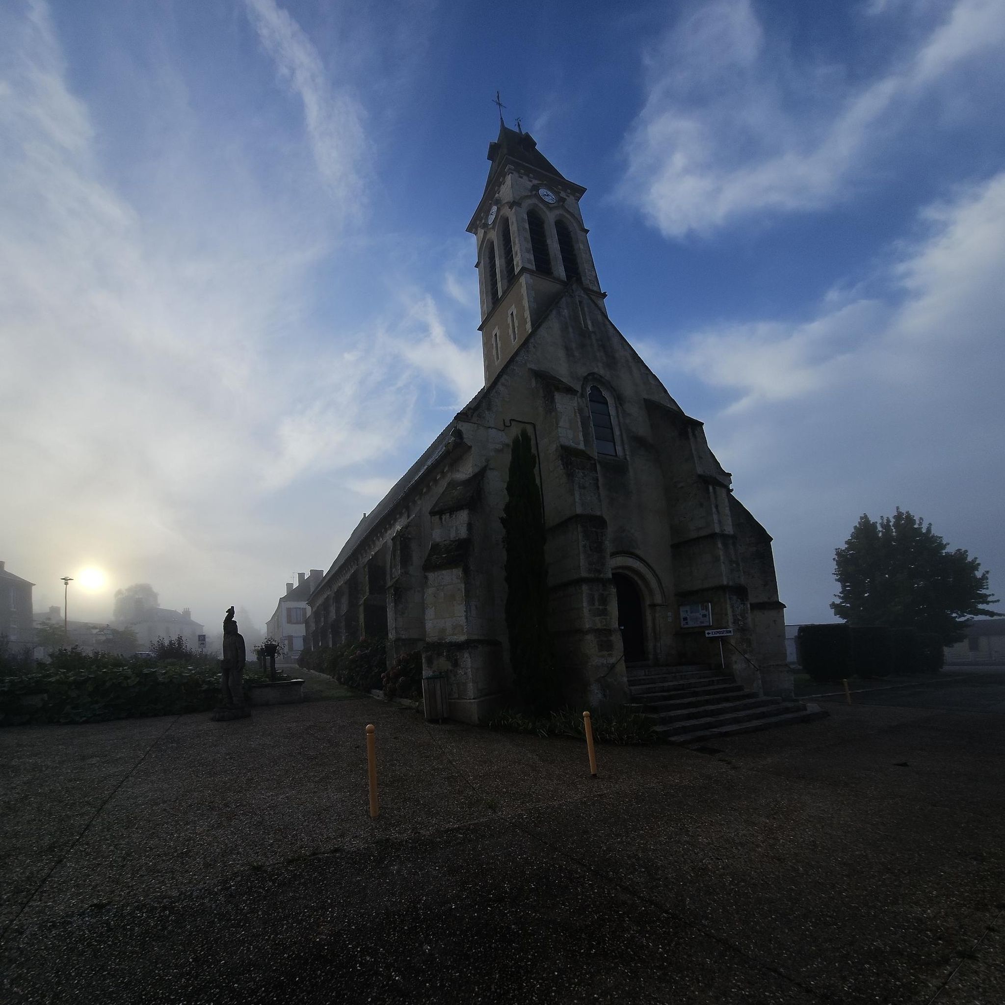

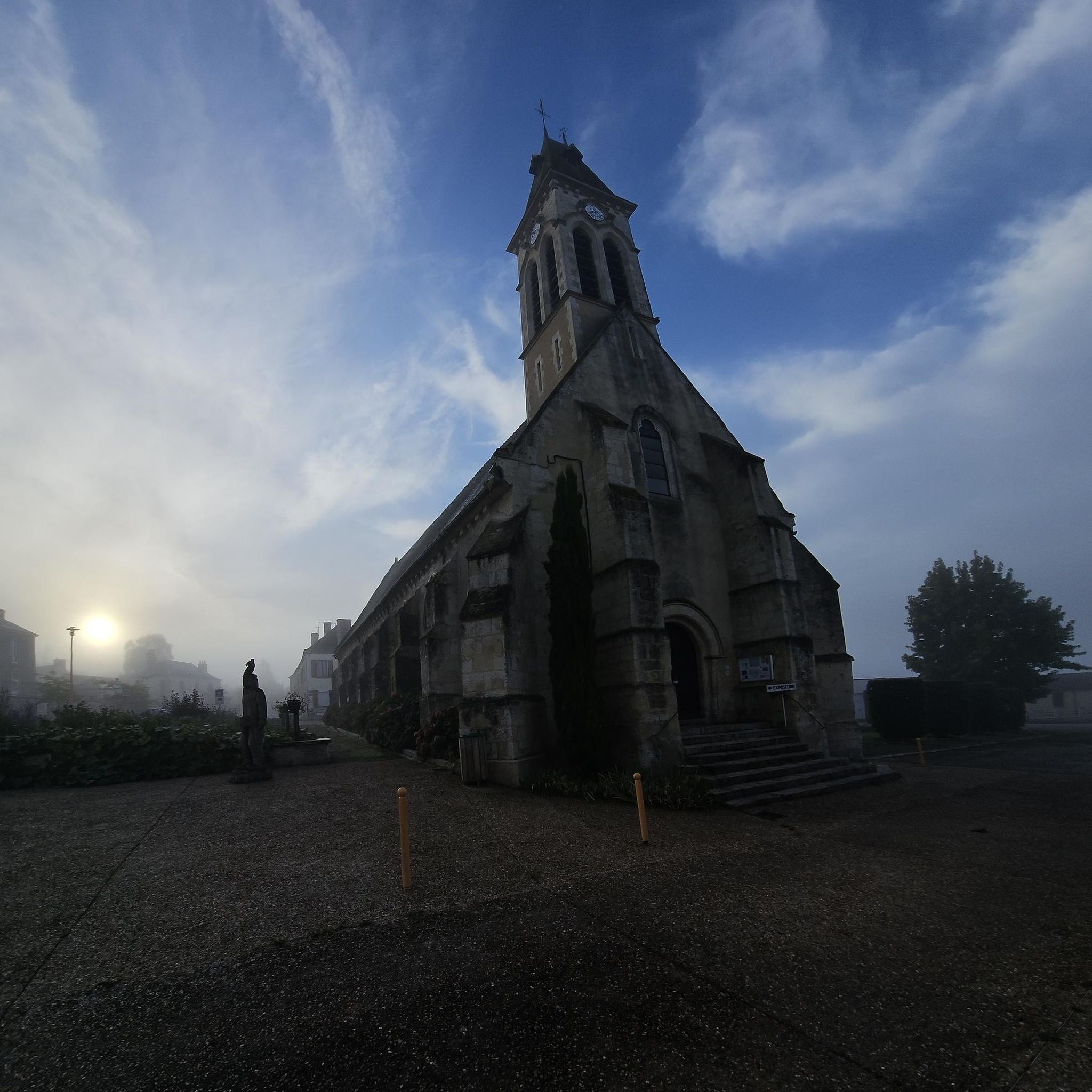

Tips from the Community

very beautiful village with drinking and eating facilities
0
0

A lovely artist's village not to be missed.
1
0


A beautiful little village that stands out for its charming houoses and characterful buildings. So much so that it has obtained the Petites Cités de Caractère® label.
2
0
The house itself was built in the mid 1600s, but the real star of this castle is the tower to the west of the house. It dates from the 1500s and is part of the original castle walls. Be sure to head to this vantage point to see the tower, it's worth taking a short detour on your way.
2
0
The house itself was built in the mid 1600s, but the real star of this castle is the tower to the west of the house. It dates from the 1500s and is part of the original castle walls. Do not miss to go to this observation point to see the tower, it is worth taking a short detour.
3
0

Benefiting from the Small Cities of Character® label, La Perrière is a charming little town in the Perche. Strolling through its pretty streets is a delight. We come across charming colorful facades, not to mention its many more imposing buildings for such a small town. On leaving the village, the Éperon site offers a magnificent view of the Percheron countryside.
2
0

Small picturesque village at the top of a promontory
1
0
Frequently Asked Questions
How many running routes are available in Pervenchères?
Pervenchères offers a wide selection of running routes, with over 60 trails available for exploration. These routes cater to various fitness levels, from easy loops to more challenging long-distance runs.
Are there easy running routes suitable for beginners in Pervenchères?
Yes, Pervenchères has several easy running routes perfect for beginners. An excellent option is the Running loop from Blèves, which is 2.9 miles (4.6 km) long and leads through pleasant rural landscapes with minimal elevation changes.
What kind of terrain can I expect on jogging trails around Pervenchères?
The jogging routes around Pervenchères traverse a diverse landscape characterized by gentle hills, woodlands, and open rural paths. You'll find a mix of surfaces, generally providing varied experiences without significant climbs.
Are there any running routes in Pervenchères that offer scenic viewpoints?
Absolutely. For panoramic vistas, consider the challenging Perseigne Viewpoint – Belvédère Tower loop from Aillières-Beauvoir. This route offers stunning views from the Perseigne Viewpoint, making it a highlight for runners seeking scenic rewards.
Are there circular running routes available in Pervenchères?
Many of the running routes in Pervenchères are designed as circular loops, allowing you to start and finish in the same location. An example is the Château de Montimer — loop — running from La Perrière in the Perche Regional Natural Park, a moderate 3.6-mile (5.8 km) trail.
What are some interesting landmarks or attractions I might see while running in Pervenchères?
While jogging, you might encounter charming villages like La Perrière or historical sites such as Monthimer Castle. The region's trails often pass through the picturesque Perche Regional Natural Park, offering glimpses of its natural beauty and heritage.
What do other runners enjoy most about jogging in Pervenchères?
The running trails in Pervenchères are highly rated by the komoot community, with an average score of 3.6 stars. Runners often praise the quiet woodlands, gentle hills, and the variety of paths that cater to different abilities, providing a refreshing outdoor experience.
Are there any longer, more challenging running routes in the Pervenchères area?
Yes, for those seeking a greater challenge, the Perseigne Viewpoint – Belvédère Tower loop from Aillières-Beauvoir is a difficult 13.3-mile (21.4 km) path with significant elevation changes, offering a demanding workout and rewarding views.
What is the best time of year to go running in Pervenchères?
Spring and autumn are generally ideal for running in Pervenchères, with mild temperatures and beautiful scenery as the foliage changes. Summer mornings and evenings also offer pleasant conditions, while winter can be suitable for running, though some paths might be muddy or require appropriate gear.
Are there any running routes that pass by water features or lakes?
While the guide doesn't specifically highlight routes with large lakes, the Mare de la Lambonnière loop from Pervenchères suggests proximity to a 'mare' (pond), offering a chance to enjoy smaller water features within the landscape.
What should I wear for jogging in Pervenchères?
Given the varied terrain of woodlands and rural paths, it's advisable to wear comfortable running shoes with good grip. Layered clothing is recommended, especially during cooler months, to adapt to changing temperatures. Always check the weather forecast before heading out.
Are there any hidden gem running trails in Pervenchères that are less crowded?
Many of the routes in Pervenchères, particularly those slightly off the main villages, offer a sense of tranquility and can be considered hidden gems. Exploring the numerous moderate trails, such as the Running loop from Saint-Jouin-de-Blavou, can lead you to peaceful, less-trafficked paths through the countryside.
Most popular routes around Pervenchères
Most popular attractions around Pervenchères

Get inspired with the komoot mobile app


Explore more
Browse the best Running Trails & Routes in other regions.
