The best walks and hikes around Prunet-Et-Belpuig
4.4
(1521)
7,898
hikers
256
hikes
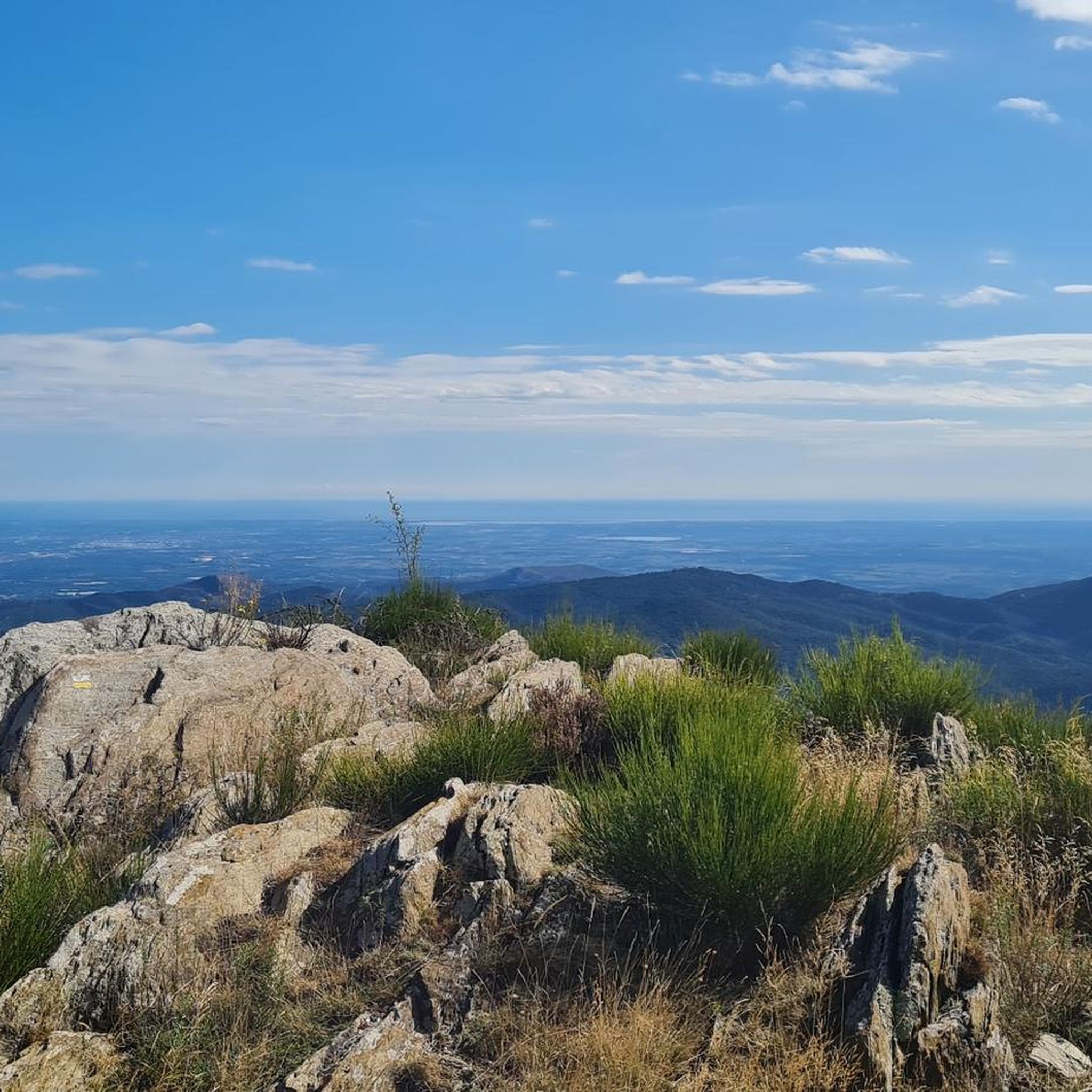
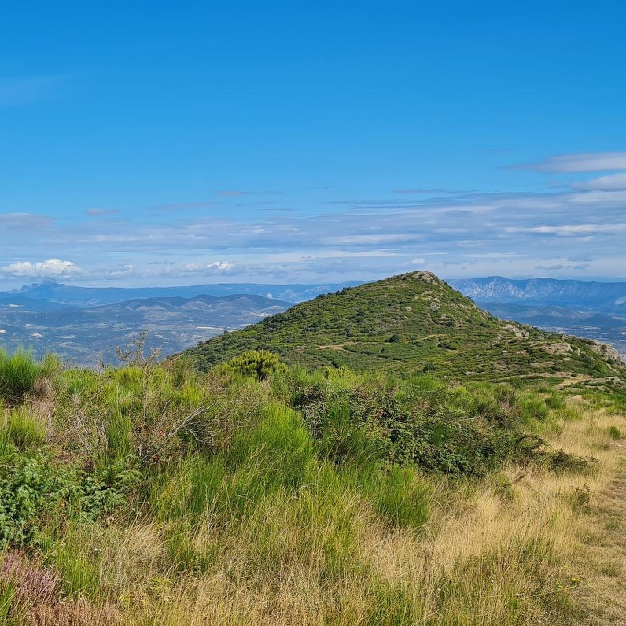
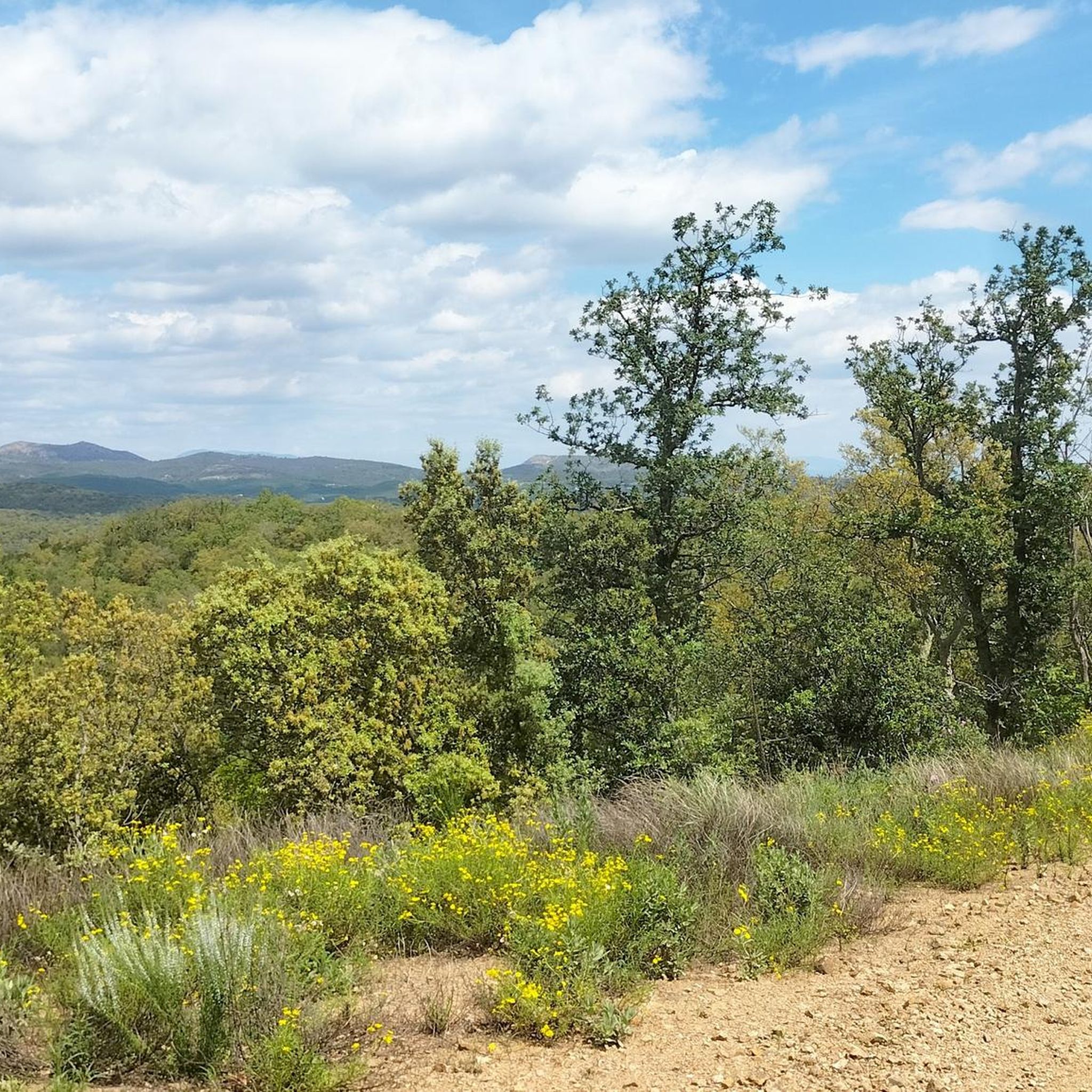
Hiking around Prunet-Et-Belpuig offers diverse landscapes within the Aspres region of Pyrénées-Orientales. The area is characterized by stony soils, deep valleys, and forests, providing varied terrain for outdoor activities. Hikers can find routes leading to panoramic viewpoints like Roca Roja and Mount Helena, alongside trails that incorporate historical remnants and geological features. The region's network of paths caters to different fitness levels, from moderate loops to more challenging ascents.
Best hiking trails around Prunet-Et-Belpuig
- The most popular hiking route is Serrabone Priory and Roc Roja Loop, a 3.6 miles (5.8 km) moderate trail that takes 2 hours 31 minutes to complete. This route offers panoramic views and access to the historic Serrabone Priory.
- Another top favourite among local hikers is Serrabone Priory – Red Rock loop from Prieuré de Serrabone, a moderate 6.7 miles (10.8 km) path. This trail provides expansive views of the surrounding region, including the distinctive Red Rock.
- Local hikers also love the Mount Helena – Mount Helena loop from Caixas, a 5.7 miles (9.2 km) trail leading through varied terrain, often completed in about 2 hours 59 minutes. This loop offers exceptional panoramic views of the Roussillon.
- Hiking around Prunet-Et-Belpuig is defined by deep valleys, forests, and historical remnants, with routes offering panoramic viewpoints. The network provides options for easy, moderate, and difficult trails, accommodating various ability levels.
- The routes in Prunet-Et-Belpuig are highly rated by the komoot community with an average score of 4.4 stars from over 1400 reviews. More than 7500 hikers have used komoot to explore Prunet-Et-Belpuig's varied terrain.
Last updated: July 4, 2026
4.1
(8)
33
hikers
5.83km
02:31
440m
440m
Moderate hike. Good fitness required. Mostly accessible paths. Sure-footedness required.
4.3
(7)
37
hikers
9.17km
02:59
400m
400m
Moderate hike. Good fitness required. Easily-accessible paths. Suitable for all skill levels.

Sign up for free
4.4
(26)
100
hikers
14.2km
04:50
700m
700m
Moderate hike. Good fitness required. Mostly accessible paths. Sure-footedness required.
4.7
(3)
7
hikers
5.81km
02:01
310m
320m
Moderate hike. Good fitness required. Easily-accessible paths. Suitable for all skill levels.
4.3
(6)
18
hikers
7.82km
02:57
430m
430m
Moderate hike. Good fitness required. Mostly accessible paths. Sure-footedness required.
Get access to more routes and recommendations from other explorers.
Sign up for free
Already have an account?
Our route recommendations are based on thousands of hikes, rides, and runs completed by other people on komoot.
Start today with a free account
Your next adventure awaits.
Login or Signup

Tips from the Community

An easy hike from the priory – approximately 420 meters of elevation gain – offers fantastic views of the Pyrenees on a clear day. There are many wild boars in the area, as the earth is churned up everywhere. A pleasant hike to the summit of Capella Santa Anna (1348 m) is recommended at the fork in the path, where there are good views of the Pyrenees.
1
0
The Romanesque Priory of Serabonna (founded in 1082) is a masterpiece of sculpture. Good and evil clash on the capitals. The building materials, such as marble, slate, and iron, came from the surrounding area.
1
0


Old ice well used to keep ice all year round at a time when fridges did not exist ;-) Watch out for the hole!
0
0

"The current church and priory of Sainte-Marie de Serrabone, as it has been called in full since at least 1082, is best known for the famous gallery in the middle of the nave, unique in Catalan Romanesque art. The interpretation of its sculptures is still extensive problematic. Today it appears as a platform supported by fourteen columns and pillars, twelve of which are made of marble and equipped with capitals and bases. Its construction is dated between 1130 and 1150." (Source: Wikipedia)
1
0


Frequently Asked Questions
How many hiking trails are available around Prunet-Et-Belpuig?
There are over 240 hiking routes around Prunet-Et-Belpuig, catering to various skill levels. You'll find a good mix of easy, moderate, and challenging trails to explore the diverse landscapes of the Aspres region.
What kind of terrain can I expect on hikes in Prunet-Et-Belpuig?
The terrain around Prunet-Et-Belpuig is quite varied, characteristic of the Aspres region. You can expect stony soils, deep valleys, and extensive forests. Many routes also feature historical remnants, such as old watermills and Roman roads, alongside geological wonders and panoramic viewpoints.
Are there any easy hiking trails suitable for beginners in Prunet-Et-Belpuig?
Yes, Prunet-Et-Belpuig offers a good selection of easier trails. There are 79 routes classified as easy, perfect for those new to hiking or looking for a more relaxed stroll through the scenic countryside.
What are some notable landmarks or viewpoints I can discover while hiking?
Many trails lead to stunning viewpoints and historical sites. You can ascend to Roca Roja (Red Rock) for beautiful 360-degree panoramas, or enjoy exceptional views of the Roussillon from Mount Helena. The vestiges of the old castle on the heights of Belpuig also offer magnificent vistas. Additionally, you might encounter the beautiful Romanesque Sant Martí de la Roca or the unique Dolmen of Roland's Tomb.
Are there any circular walks available in the area?
Yes, many of the hiking routes around Prunet-Et-Belpuig are circular, offering convenient starting and ending points. For example, the Mount Helena – Mount Helena loop from Caixas is a popular option that provides exceptional panoramic views.
Can I bring my dog on the hiking trails?
Generally, dogs are welcome on most hiking trails in the Prunet-Et-Belpuig area, but it's always recommended to keep them on a leash, especially when passing through agricultural areas or near livestock. Please be mindful of local regulations and ensure your dog is well-behaved and doesn't disturb wildlife or other hikers.
Are there any family-friendly hiking options?
Yes, there are several family-friendly routes. The diverse terrain includes easier paths suitable for children. Look for trails with shorter distances and less elevation gain, often found in the forested areas or along the valleys, which provide a pleasant experience for all ages.
What do other hikers enjoy most about the trails in Prunet-Et-Belpuig?
The trails in Prunet-Et-Belpuig are highly rated by the komoot community, with an average score of 4.4 stars from over 1400 reviews. Hikers often praise the stunning panoramic views, the captivating blend of natural beauty and historical sites, and the varied terrain that keeps each outing interesting.
Are there any waterfalls or unique natural features to see?
Yes, the region offers some interesting natural features. You can find the Corsavy Waterfall and Fountain nearby. The area also features unique geological formations and the impressive Largest Cork Oak in the World at Mas Santol.
What is the best time of year to go hiking in Prunet-Et-Belpuig?
The region is enjoyable for hiking throughout much of the year. Spring and autumn offer pleasant temperatures and vibrant landscapes, making them ideal. Summer can be warm, so early morning or late afternoon hikes are recommended. Winter hikes are also possible, especially on lower-elevation trails, offering a different, often quieter, experience.
Are there any routes that incorporate historical elements?
Absolutely. The region is rich in history, and many trails weave through historical sites. For instance, routes around Prunet-Et-Belpuig often pass by ruins of old watermills, sections of disused railway lines (including tunnels), and even remnants of Roman roads and 'snow wells' (puits à neige), showcasing the area's past.
Where can I find parking for the trailheads?
While specific parking details vary by trailhead, many popular starting points for hikes in and around Prunet-Et-Belpuig, especially those near villages or key attractions like the Prieuré de Serrabone, typically offer designated parking areas. It's advisable to check the route details on komoot for specific parking information for your chosen trail.
Most popular routes around Prunet-Et-Belpuig
Most popular attractions around Prunet-Et-Belpuig

Get inspired with the komoot mobile app


Explore more
Browse the best Hikes in other regions.
