The best mountain hikes around Giffers
4.7
(3)
57
hikers
Mountaineering around Giffers features challenging routes through varied alpine terrain. The region is characterized by steep ascents on forest trails, leading to prominent mountain passes and summits. Mountaineers can expect demanding climbs with significant elevation gain, offering expansive views of the surrounding landscape, including lakes like Schwarzsee. The routes primarily traverse mountainous areas, providing a rigorous experience for advanced mountaineers.
Best mountaineering routes around Giffers
- The most popular mountaineering route is Steep Ascent on Forest Trail – Ascent to Kaiseregg…
Last updated: July 6, 2026
5.0
(1)
16
hikers
15.1km
06:48
1,070m
1,070m
Hard mountaineering route. Very good fitness required. Sure-footedness, sturdy shoes and alpine experience required.
5.0
(1)
10
hikers
13.9km
06:26
1,070m
1,070m
Hard mountaineering route. Very good fitness required. Sure-footedness, sturdy shoes and alpine experience required.

Sign up for free
9
hikers
12.8km
05:38
830m
830m
Hard mountaineering route. Very good fitness required. Sure-footedness, sturdy shoes and alpine experience required.
7
hikers
13.9km
05:20
870m
870m
Hard mountaineering route. Very good fitness required. Mostly accessible paths. Sure-footedness required.
4.0
(1)
8
hikers
13.3km
05:51
860m
860m
Hard mountaineering route. Very good fitness required. Sure-footedness, sturdy shoes and alpine experience required.
Our route recommendations are based on thousands of hikes, rides, and runs completed by other people on komoot.
Start today with a free account
Your next adventure awaits.
Login or Signup
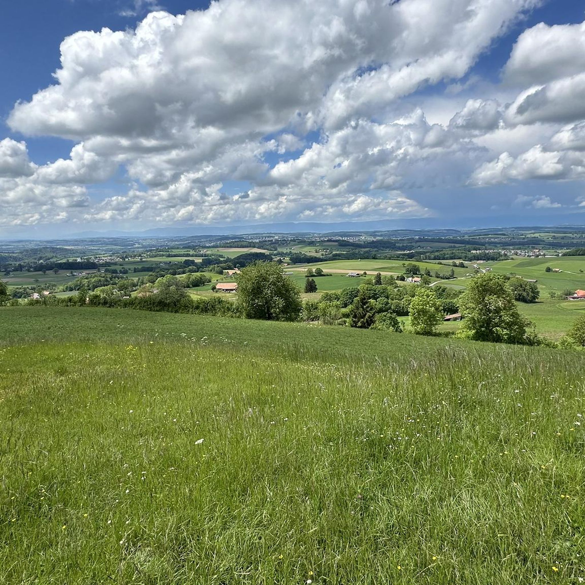
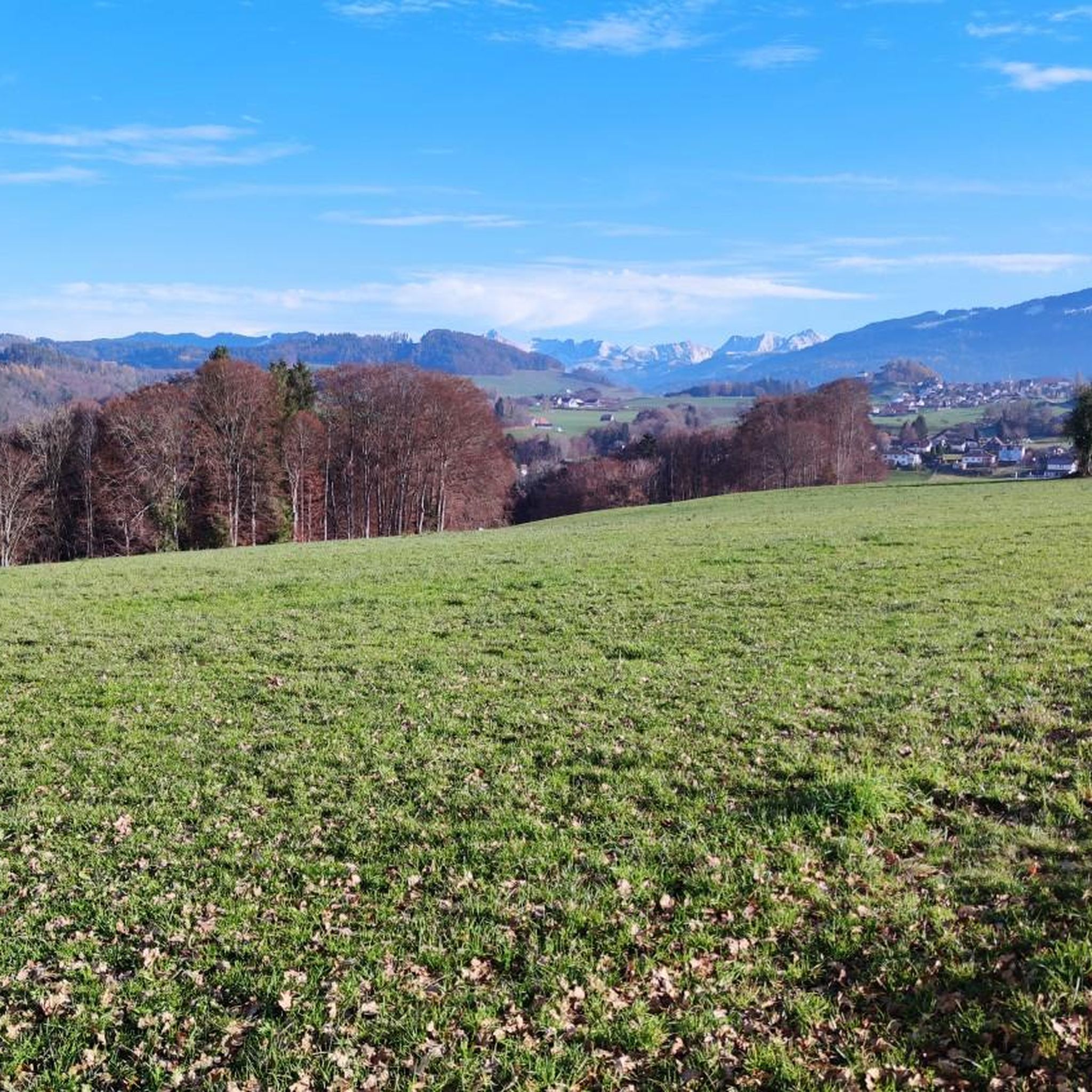
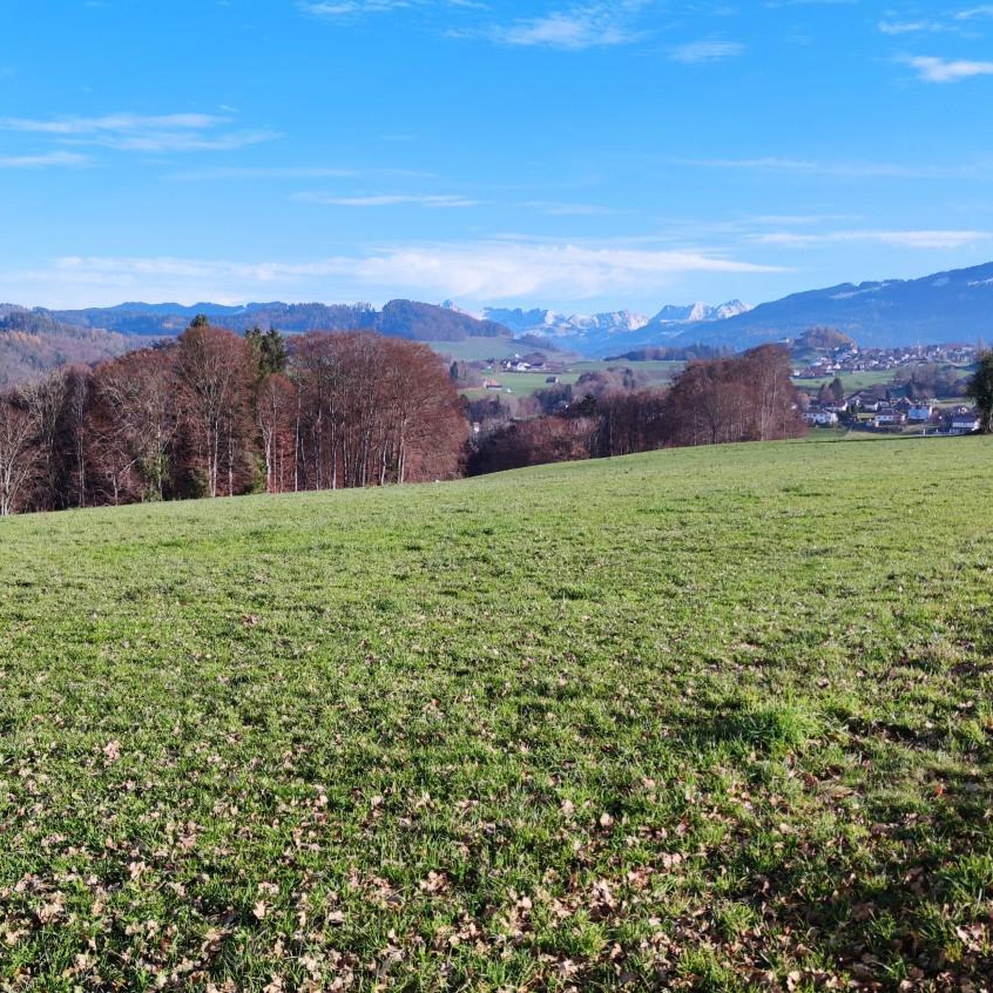
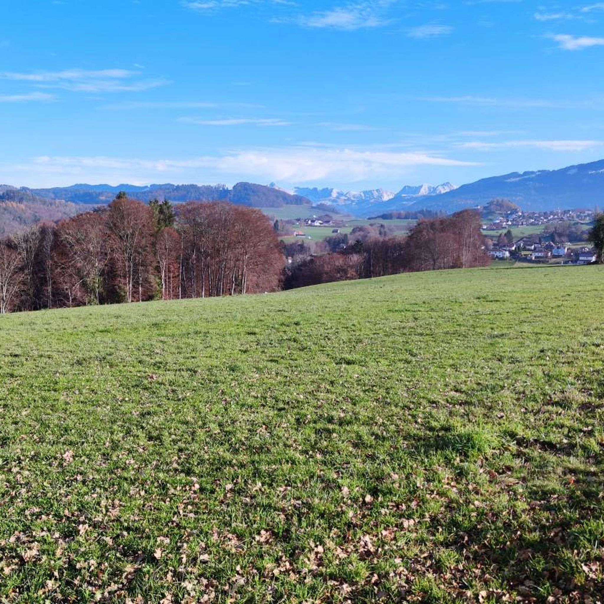
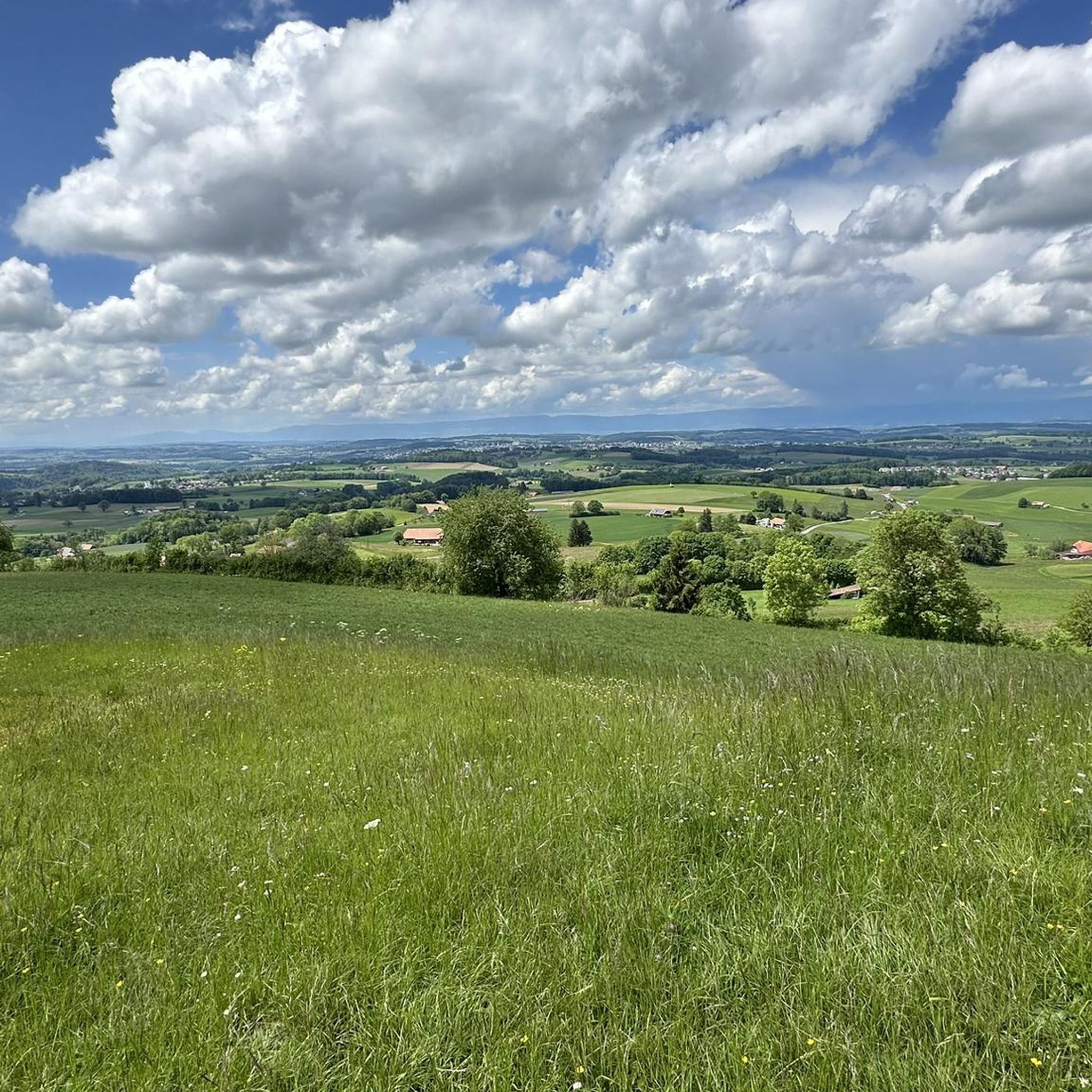
Tips from the Community

The Alp Oberer Euschels is located just below the 1,600-meter-high Euschelspass on the Schwarzsee side. Up here, you can get many delicacies, from cheese to sausages to fondue (on request). The alp is open from June to October, and you can also stay overnight. More information also here: https://fribourg.ch/de/schwarzsee/berghuetten-mit-verpflegungsmoeglichkeit/alp-oberer-euschels/
0
0

Great alpine snack bar for a little break. Great view of the Black Lake. Friendly welcome and excellent food!
0
0

There are great hikes around the Schwarzsee for everyone. From easy and leisurely to more challenging 🥾
1
0

The Stierenberg viewpoint is the highest peak between the Suhre and Aabach valleys, and offers breathtaking views of the Schwarzsee, the surrounding mountains and the Mittelland. You can also admire an imposing sycamore maple which sits on the hiking trail, and rest on a bench which invites you to stroll. The Stierenberg viewpoint is accessible by different routes, such as that of Val-de-Charmey in the Gruyère district. You'll be rewarded with stunning views and a sense of accomplishment after reaching the top of this forested mountain.
2
0
Patraflon is a grassy summit in the Friborg Pre-Alps which dominates the Valsainte Valley. It offers a magnificent view of the Swiss Plateau and the Jura. Its wide and regular slopes make it an ideal destination for running, especially in spring and autumn. You can start from the Pré de l'Essert farm and follow the Essert valley, then climb to the summit of Patraflon via a wooded ridge. You can also extend your route by traversing to the nearby summit of Gros Brun, which requires some climbing on the northwest ridge. Enjoy the landscape and tranquility of this little-known region.
2
0

The smoking of the stream and the various bird songs at the beginning of the path bring a calm atmosphere.
0
0


The Fochsenflue at 1975m is the easiest to reach peak on the ridge from the Spitzflue to the Combiflue. A well-marked mountain hiking trail leads from the Euschels Pass to the summit (red-white-red). A summit with few people 👍🏻
6
0
Frequently Asked Questions
What is the general difficulty level of mountaineering routes around Giffers?
Mountaineering routes around Giffers are generally challenging and are best suited for experienced mountaineers. They feature steep ascents, significant elevation gain, and traverse varied alpine terrain, often on forest trails leading to prominent mountain passes and summits.
Are there any family-friendly mountaineering options in Giffers?
The mountaineering routes detailed for Giffers are primarily demanding and designed for advanced mountaineers, featuring significant climbs and challenging terrain. Therefore, they may not be suitable for families with young children or those seeking very easy trails.
What kind of views can I expect on these mountaineering routes?
You can expect expansive and rewarding views of the surrounding landscape, including picturesque lakes like Schwarzsee. Routes such as View of Schwarzsee – Patraflon Summit Statue loop from Schwarzsee offer panoramic vistas of Schwarzsee and lead to summit points.
Are the mountaineering routes around Giffers typically circular?
Yes, many of the mountaineering routes around Giffers are designed as loops. For example, the Steep Ascent on Forest Trail – Ascent to Kaiseregg Pass loop from Schwarzsee and the Vallée de la Brecca – Spitzflue Summit loop from Schwarzsee are both circular tours, allowing you to start and end at the same point.
What are some notable natural attractions or landmarks near the mountaineering trails?
While mountaineering, you might encounter several natural attractions. The region is home to beautiful lakes, including the Düdinger Moos Nature Reserve and the Lake Gruyère (east shore). You could also discover the Seeweidbach Waterfall or the unique Ice Palaces.
What is the best time of year for mountaineering in Giffers?
The best time for mountaineering in Giffers is typically during the warmer months when trails are clear of snow and ice, usually from late spring to early autumn. This allows for safer navigation of the steep ascents and alpine terrain. Always check local weather and trail conditions before heading out.
Are there any specific summits I can reach on these routes?
Yes, several routes lead to prominent summits. For instance, the View of Schwarzsee – Patraflon Summit Statue loop from Schwarzsee takes you to the Patraflon Summit. Another notable peak in the vicinity is Fuchses Schwyberg.
How do other mountaineers rate the trails in Giffers?
The mountaineering routes in Giffers are highly regarded by the komoot community, holding an impressive average score of 4.75 stars from over 5 reviews. Many mountaineers appreciate the challenging forest trails, significant ascents, and rewarding summit views.
What is the typical duration for a mountaineering tour in Giffers?
The duration for mountaineering tours in Giffers can vary depending on the specific route and your pace. For example, the Steep Ascent on Forest Trail – Ascent to Kaiseregg Pass loop from Schwarzsee typically takes around 5 hours 53 minutes, while the View of Lac de la Gruyère – Vallée de la Brecca loop from Schwarzsee is estimated to take about 5 hours 18 minutes.
Are there any cultural or historical points of interest along the routes?
While the focus is on natural alpine beauty, you might encounter points of interest such as the Greyerzersee Dam or the serene Magdalena Hermitage, Räsch, which offer a glimpse into the region's cultural landscape amidst the natural surroundings.
What kind of terrain can I expect on the mountaineering trails?
The terrain around Giffers is characterized by varied alpine landscapes, including dense forest trails, rocky paths, and open mountain slopes. You should be prepared for steep ascents and descents, often leading to high mountain passes and exposed summits.
Most popular routes around Giffers
Most popular attractions around Giffers

Get inspired with the komoot mobile app


Explore more
Browse the best Mountain Hikes & Routes in other regions.
