The best mountain hikes around Steinen
4.9
(86)
795
hikers
56
hikes
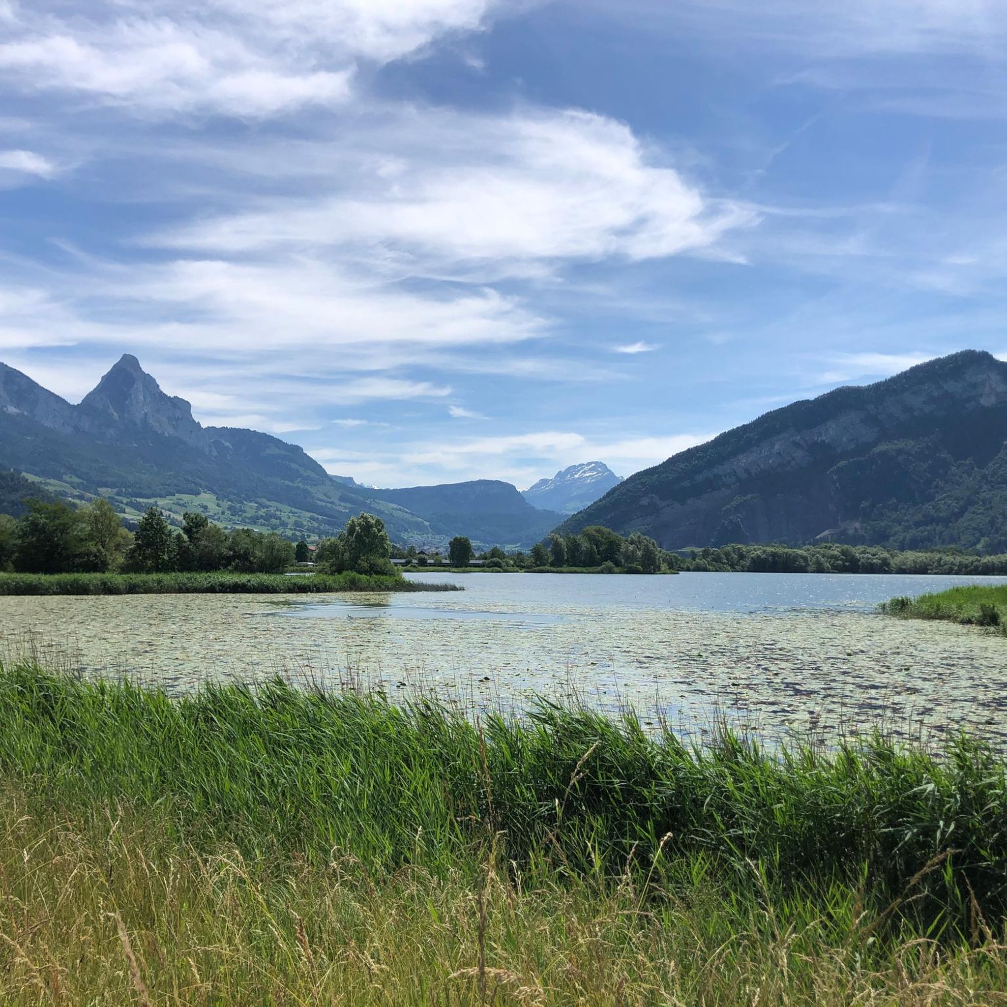
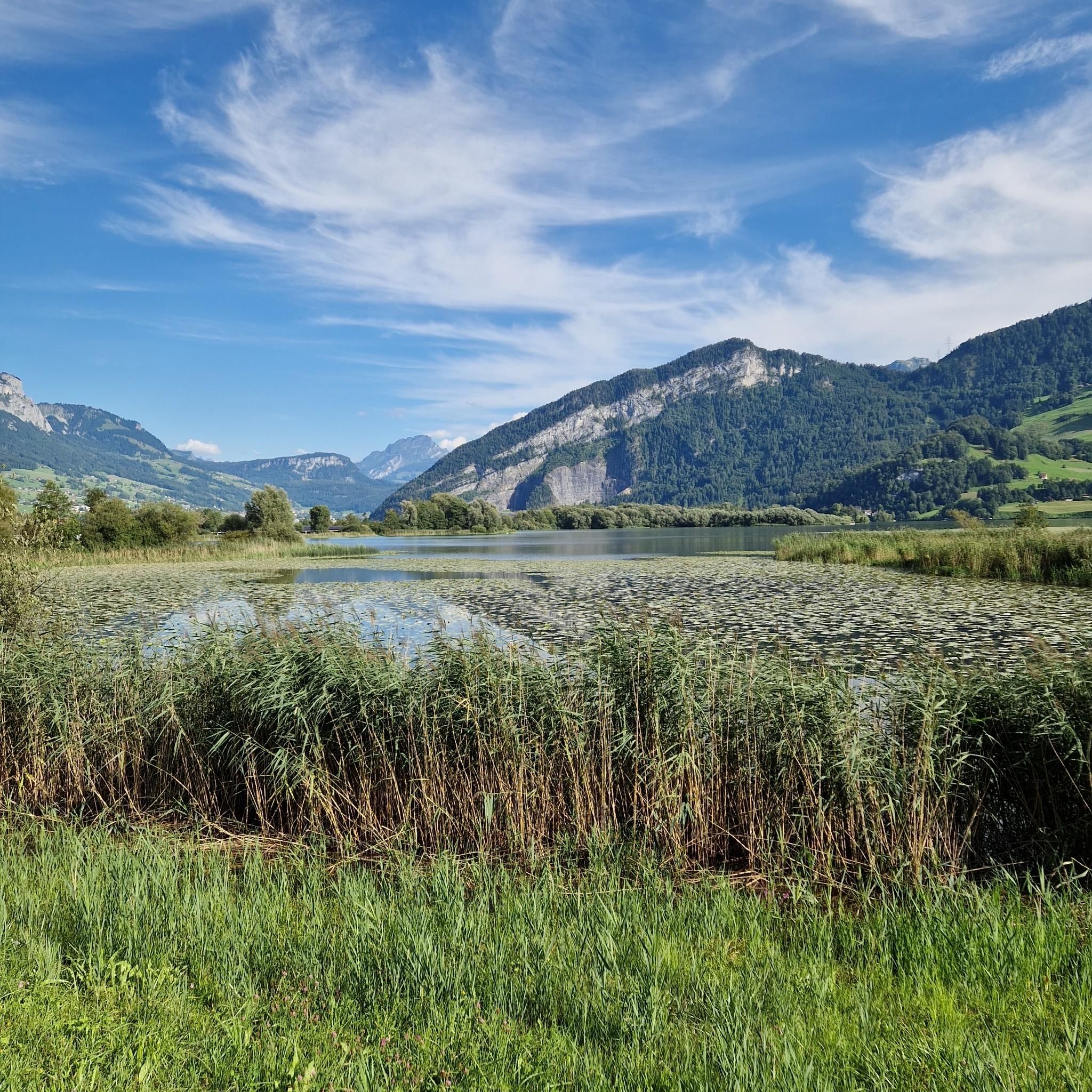
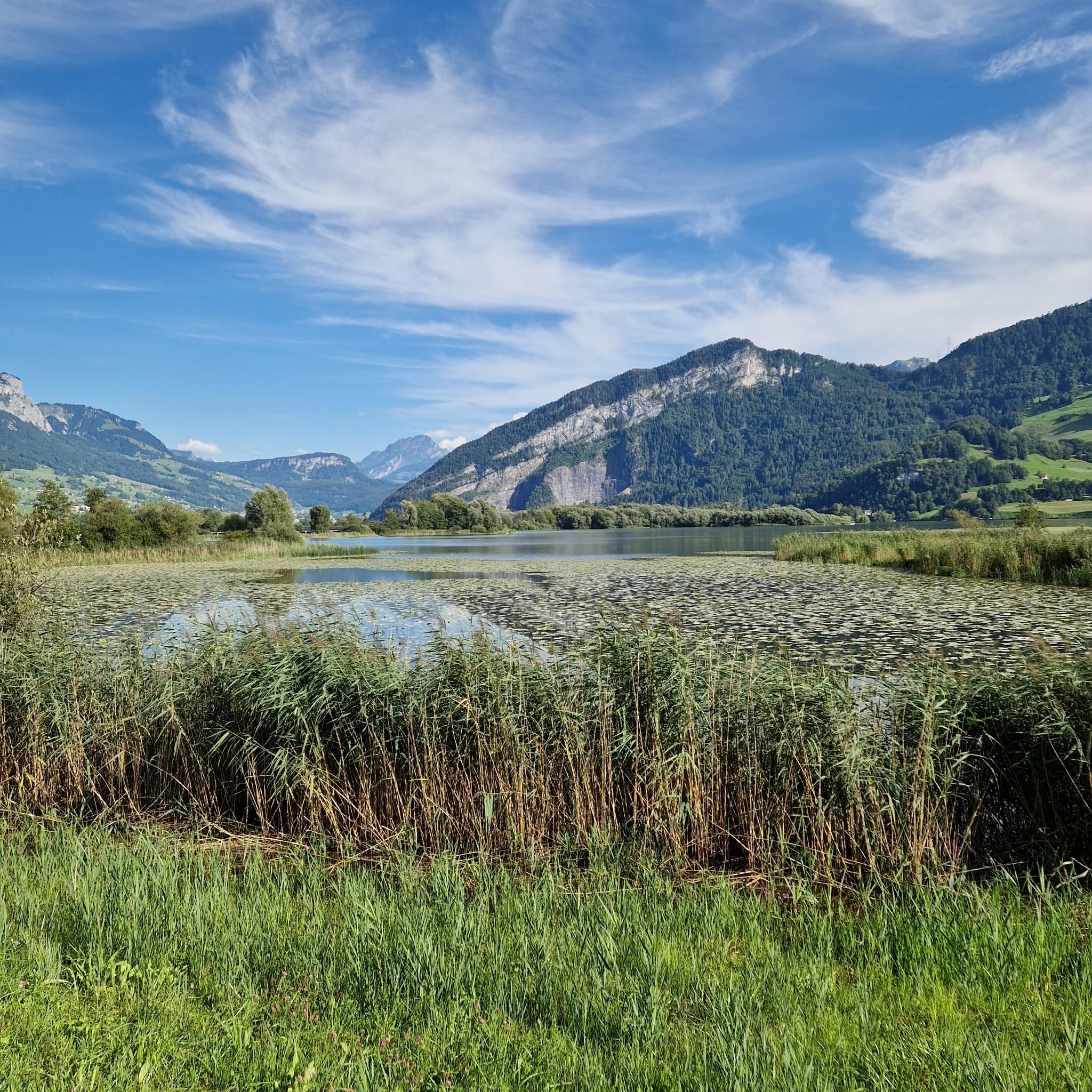
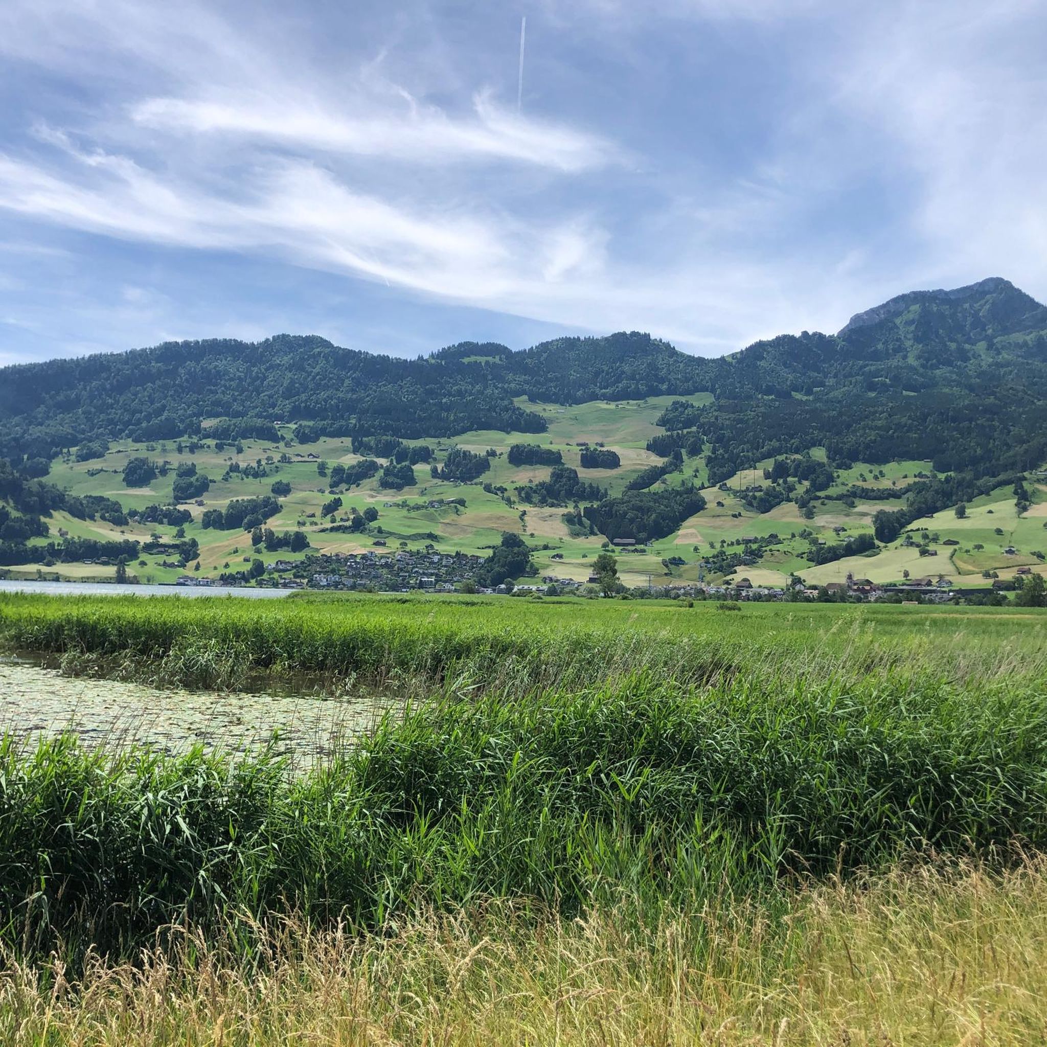
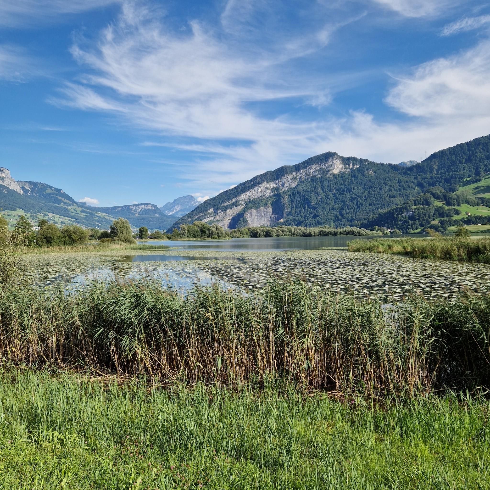
Mountaineering routes around Steinen are set within the Southern Black Forest in Baden-Württemberg, Germany, offering diverse terrain for outdoor enthusiasts. The region is characterized by its location in the Wiesental valley, with elevations rising over 600 meters to peaks like the Wambacher Wasen at 987 meters above sea level. This varied topography provides a backdrop of lush forests, valleys, and meadows, creating opportunities for strenuous hikes and challenging ascents.
Best mountaineering routes around Steinen
- The most popular mountaineering route is…
Last updated: October 10, 2026
5.0
(1)
31
hikers
15.0km
07:54
1,280m
1,280m
Hard mountaineering route. Very good fitness required. Sure-footedness, sturdy shoes and alpine experience required.
14
hikers
13.1km
05:31
840m
840m
Hard mountaineering route. Very good fitness required. Mostly accessible paths. Sure-footedness required.

5.0
(1)
14
hikers
13.5km
06:30
1,100m
1,100m
Hard mountaineering route. Very good fitness required. Sure-footedness, sturdy shoes and alpine experience required.
5.0
(2)
6
hikers
8.74km
04:22
740m
740m
Moderate mountaineering route. Good fitness required. Mostly accessible paths. Sure-footedness required.
4
hikers
Hard mountaineering route. Good fitness required. Sure-footedness, sturdy shoes and alpine experience required.
Get access to more routes and recommendations from other explorers.
Already have an account?
Our route recommendations are based on thousands of hikes, rides, and runs completed by other people on komoot.
Start today with a free account
Your next adventure awaits.

Tips from the Community

At the cross, there is a nice bench.
0
0
It's nice that the restaurant is heated and that they have almond croissants and cold Ovomaltine. That gives me renewed energy for the descent to the saddle.
0
0

Magnificent ascent to the Hochflue
1
0
Exciting climb, easily manageable.
0
0
Beautiful climbing tour, secured with chains
0
0

This path leads to the climbing area "Thedy's Gärtli" and is by no means a hiking trail. It is only suitable for mountaineers who are confident in their ability to hike at T5/T6 difficulty, and even then, only for the ascent. The path is not suitable for descending from the Hohfluh, as there are two abseiling points.
2
0

Beautiful ascent and descent. Well secured by the ropes.
1
0
Well secured with the chains. Still, don't underestimate it.
0
0
Frequently Asked Questions
How many mountaineering routes are available around Steinen?
There are over 60 mountaineering routes around Steinen, offering a wide range of experiences. These routes are primarily set within the Southern Black Forest, characterized by diverse terrain and significant elevation changes.
What is the general difficulty level of mountaineering routes in Steinen?
The routes around Steinen cater to various skill levels, with a significant number of options for those seeking a challenge. You'll find approximately 23 moderate routes and 39 difficult routes, ensuring there's something for both experienced mountaineers and those looking for a strenuous hike.
Are there any circular mountaineering routes in the Steinen area?
Yes, many routes around Steinen are designed as loops, allowing you to start and end at the same point. For example, the difficult route Hochflue Summit – Rigi Hochflue Summit loop from Ingenbohl is an excellent option, offering expansive views and a challenging ascent.
What kind of natural attractions can I expect to see along the mountaineering routes?
The region around Steinen is rich in natural beauty. You can encounter impressive summits like Rigi Kulm summit and Grosser Mythen Summit, offering panoramic views. There are also unique features like the Skywalk Sattel-Hochstuckli Suspension Bridge and the scenic Känzeli Viewpoint overlooking Lake Lucerne.
Are there any waterfalls to discover on mountaineering tours near Steinen?
Yes, the Black Forest region is known for its rushing waters. You can find beautiful natural features like the Risleten Waterfall, which can be a refreshing stop during your mountaineering adventures.
What do other mountaineers say about the routes around Steinen?
The routes in Steinen are highly rated by the komoot community, with an average score of 4.9 stars from over 81 reviews. Mountaineers often praise the diverse landscapes, challenging ascents, and the well-maintained trails that wind through dense woodlands and open terrain.
Are there any family-friendly mountaineering options near Steinen?
While many routes are classified as difficult, there are also moderate options that might be suitable for families with older children or those accustomed to strenuous hikes. The Wildspitz Mountain Inn loop from Sattel is a moderate route that offers a rewarding experience without the extreme difficulty of some other tours.
What is the best time of year for mountaineering in Steinen?
The Southern Black Forest, where Steinen is located, is generally best explored during the warmer months, from late spring to early autumn. This period offers more stable weather conditions and clear trails. However, always check local weather forecasts before heading out, as conditions can change rapidly in mountainous terrain.
Can I reach mountaineering trailheads near Steinen using public transport?
While specific public transport connections vary by trailhead, the broader Black Forest region is generally well-served by public transport. It's advisable to research specific routes and their starting points to determine the best public transport options available for your chosen tour. Many routes, like the Felssturzweg Trail – Wildspitz Mountain Inn loop from Arth-Goldau, are accessible from towns that may have public transport links.
Are there any routes that lead to scenic viewpoints?
Absolutely. Many mountaineering routes in the Steinen area are designed to offer spectacular views. The Wildspitz Mountain Inn – Wildspitz Viewpoint loop from Sattel is a prime example, leading to a prominent viewpoint after challenging climbs through varied terrain.
What kind of landscape defines mountaineering around Steinen?
Mountaineering around Steinen is defined by its diverse landscapes within the Southern Black Forest. You'll experience the picturesque Wiesental valley, dense Black Forest woodlands, and significant elevation changes, with peaks like the Wambacher Wasen reaching 987 meters above sea level. This varied topography creates a rich environment for challenging hikes.
Are there any specific trails for experienced climbers looking for a challenge?
Yes, for experienced climbers, there are numerous difficult routes that demand good fitness and sure-footedness. The Wildspitz Mountain Inn – Wildspitz Viewpoint loop from Steinerberg is a challenging option with significant elevation gain, offering a true mountaineering experience.
Most popular routes around Steinen
Most popular attractions around Steinen

Get inspired with the komoot mobile app


Explore more
Browse the best Mountain Hikes & Routes in other regions.
