The best walks and hikes around Saint-Jurs
4.4
(1108)
6,655
hikers
17
hikes
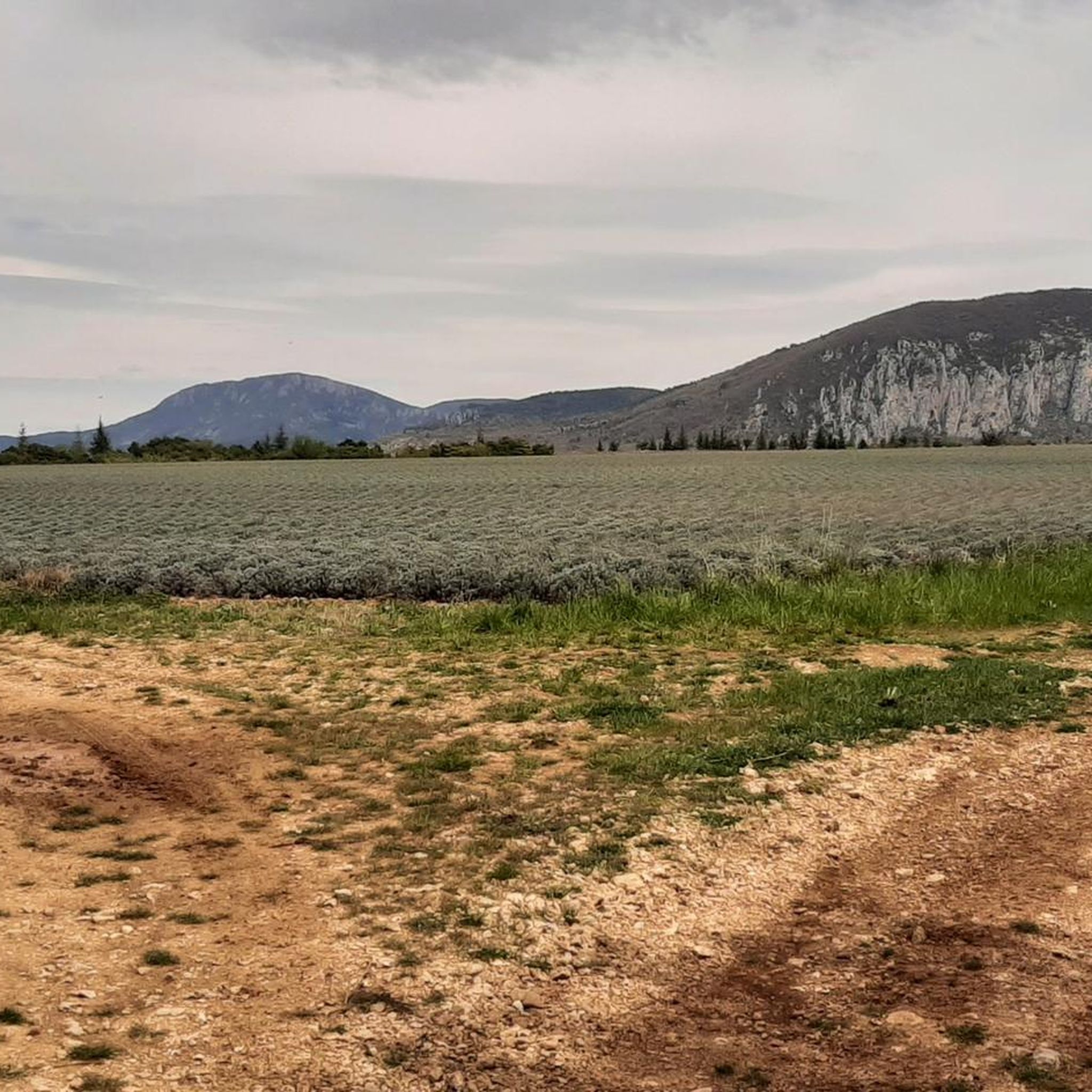
Hiking trails around Saint-Jurs traverse a varied landscape within the Alpes-de-Haute-Provence, situated on the Valensole plateau. The region features panoramic views of Provence and the Southern Alps, with some routes offering vistas of Lac de Sainte-Croix and the Gorges du Verdon. Terrain includes cultivated fields, forests, and the Montdenier massif, providing diverse hiking experiences.
Best hiking trails around Saint-Jurs
- The most popular hiking route is Agrà Summit (1,523 m) – Saint-Jurs Pass loop from Saint-Jurs, an 8.3 miles (13.3…
Last updated: June 25, 2026
4.6
(18)
88
hikers
13.3km
04:27
680m
680m
Moderate hike. Good fitness required. Easily-accessible paths. Suitable for all skill levels.
4.3
(4)
22
hikers
8.87km
03:08
500m
500m
Moderate hike. Good fitness required. Easily-accessible paths. Suitable for all skill levels.

Sign up for free
11
hikers
17.5km
05:39
780m
770m
Hard hike. Very good fitness required. Easily-accessible paths. Suitable for all skill levels.
3.9
(7)
14
hikers
6.02km
01:47
190m
180m
Easy hike. Great for any fitness level. Easily-accessible paths. Suitable for all skill levels.
4.5
(2)
4
hikers
14.0km
04:10
440m
440m
Moderate hike. Good fitness required. Easily-accessible paths. Suitable for all skill levels.
Get access to more routes and recommendations from other explorers.
Sign up for free
Already have an account?
Our route recommendations are based on thousands of hikes, rides, and runs completed by other people on komoot.
Start today with a free account
Your next adventure awaits.
Login or Signup
Tips from the Community

A fast but exposed climb, it's very sunny and the wind can be surprising.
0
0

Exceptional decor! total oxygenation guaranteed, both for the head and for the eyes.
1
0

A pretty mountain pass at 1,318 meters above sea level above the town of Saint-Jurs. Note that the road between Saint-Jurs and the pass is almost exclusively unpaved gravel, so a gravel bike is preferable!
1
0
From Place Bellevue there is a beautiful view of the landscape and of Saint-Jurs. There is a picnic table and a tree for shade!
1
0

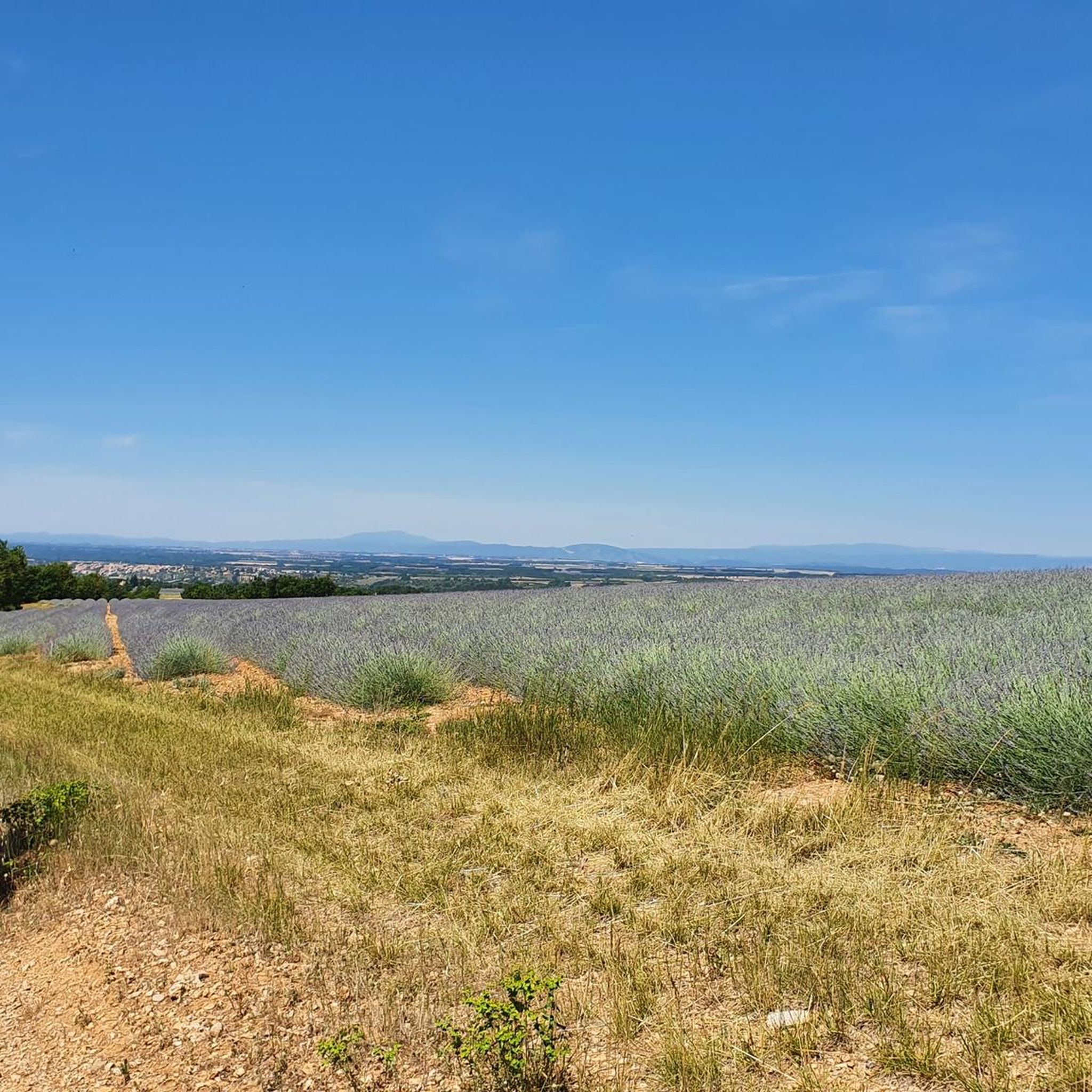
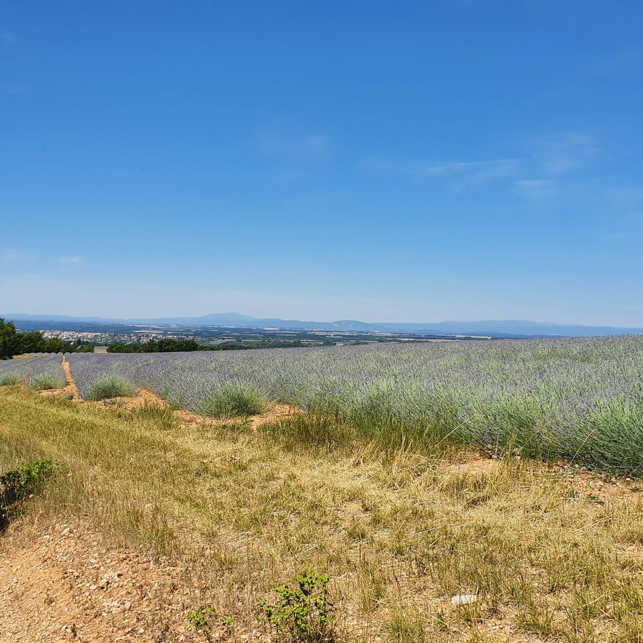
Beautiful purple just at the end of June when the lavender fields were in bloom
1
0

From the top of this eminence, there is a superb view of the Valensole plateau, the Sainte Croix lake and the pre-Alps that await you. Access to the mountain is via the Saint Jurs pass, by a few successive portages. The descent can be done by the same route or by the western slope going towards the village of Saint Jurs. The descent begins with a sublime view of the lake of Sainte Croix, then makes large switchbacks on good ground (level S2). At the end of the descent, more tight and uneven hairpins (level S4) allow you to pass a rocky lock (do not hesitate to walk).
2
0
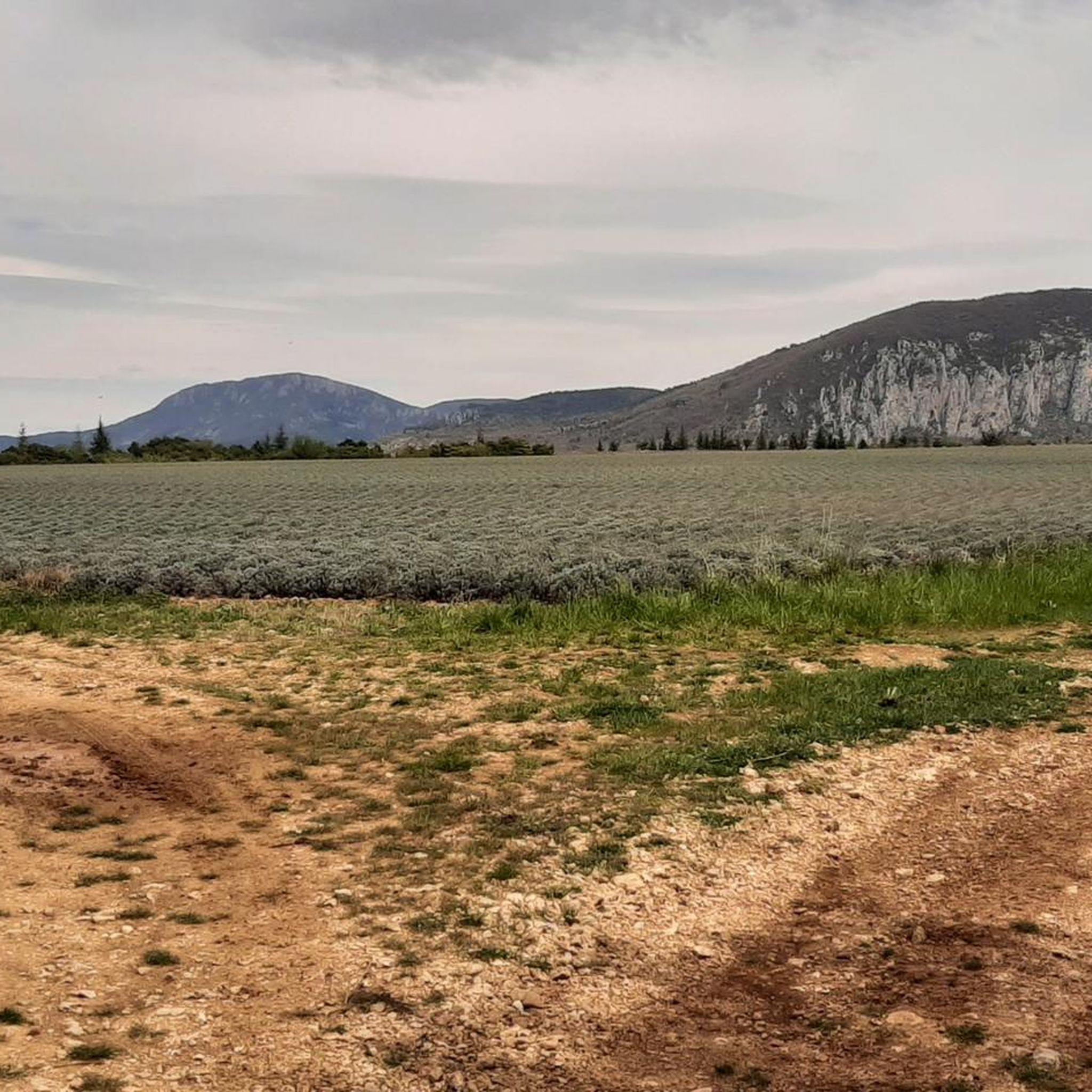
Superb view of the Valensole plateau and the surrounding mountains. Orientation table at the top Accessible without great difficulty in 2 hours from the village of Saint-Jurs or in 45 min from the parking lot at the Col de Saint-Jurs (accessible by a motorable track).
1
0
Frequently Asked Questions
What kind of landscapes can I expect when hiking near Saint-Jurs?
Hiking around Saint-Jurs offers diverse landscapes, from the picturesque Valensole Plateau, famous for its lavender fields in summer, to panoramic views of the Southern Alps. Many trails provide superb vistas of Lac de Sainte-Croix and the dramatic Gorges du Verdon. You'll also encounter cultivated fields, forests, and the Montdenier massif, all within or near the Verdon Natural Regional Park.
Are there hiking trails suitable for families with children?
Yes, Saint-Jurs offers trails suitable for various skill levels, including easier options. While specific family-friendly routes aren't detailed, the region's diverse terrain means you can find shorter, less strenuous paths. For example, the Waterfall loop from Restaurant le d'hélice is a moderate 7.2 km path that takes about 2 hours, which could be a good option for active families.
Are there any circular hiking routes around Saint-Jurs?
Many of the trails around Saint-Jurs are designed as loops. For instance, the challenging Agrà Summit (1,523 m) – Saint-Jurs Pass loop from Saint-Jurs is a 13.3 km moderate trail. Another popular option is the Montdenier Summit loop from L'Agra, an 8.9 km route through the Montdenier massif.
What is the best time of year to go hiking in Saint-Jurs?
The region is beautiful year-round, but spring and autumn are particularly pleasant for hiking. Spring brings blooming wildflowers, while autumn offers stunning colors, especially in areas like the Gorges de Trévans. Summer is ideal for experiencing the famous lavender fields of the Valensole Plateau, though it can be hot. Winter hiking is also possible, with the Southern Alps often snow-covered, providing magnificent views.
What are the typical difficulty levels for hikes in Saint-Jurs?
Hiking trails around Saint-Jurs range from easy to difficult. Out of nearly 20 routes, you'll find 2 easy trails, 14 moderate trails, and 3 difficult trails. This variety ensures options for all fitness levels, from gentle walks to challenging ascents with significant elevation gain.
Are there any notable natural attractions or viewpoints along the trails?
Absolutely. Many trails lead to impressive viewpoints. You can find superb views of Lac de Sainte-Croix from spots like Place Bellevue, or explore the magnificent Gorges de Trévans. Some routes also offer remarkable vistas of the Gorges du Verdon and even the Grand Canyon.
What kind of elevation gain can I expect on hikes in Saint-Jurs?
Elevation gain varies significantly depending on the trail's difficulty. Moderate routes like the Waterfall loop from Restaurant le d'hélice have around 150 meters of ascent. More challenging trails, such as the Agrà Summit (1,523 m) – View of Haute Provence loop from Saint-Jurs, can involve over 1,000 meters of elevation gain.
Are dogs allowed on the hiking trails in Saint-Jurs?
Saint-Jurs is located within or near the Verdon Natural Regional Park. While many trails in the region are dog-friendly, it's always advisable to keep dogs on a leash, especially in protected areas, to respect wildlife and other hikers. Specific regulations may apply in certain zones, so check local signage.
What do other hikers enjoy most about hiking in Saint-Jurs?
The area is highly rated by the komoot community, with an average score of 4.5 stars from over 1,000 reviews. Hikers often praise the stunning panoramic views, the varied terrain, and the opportunity to explore both the Valensole plateau and the dramatic landscapes of the Verdon Natural Regional Park.
Are there any historical or cultural sites to explore while hiking?
Yes, the region offers glimpses into its past. Some trails allow you to explore ancient Roman roads, pass by abandoned villages like Châteauneuf-les-Moustiers, or discover the remains of hamlets such as Valbonnette. You can also find old gypsum mines, which are a testament to the village's industrial history.
Is Saint-Jurs located within a national park, and are permits required for hiking?
Saint-Jurs is situated within or near the Verdon Natural Regional Park. This is a regional natural park, not a national park, and generally, no specific permits are required for hiking on marked trails. However, always respect local regulations, especially concerning nature conservation and private property.
Are there opportunities for wild swimming or water activities near the hiking trails?
While Saint-Jurs itself is not directly on the water, many trails offer views of Lac de Sainte-Croix, a large and beautiful lake in the region. The lake is a popular spot for swimming and various water activities, making it a great destination to combine with a hike.
Most popular routes around Saint-Jurs
Most popular attractions around Saint-Jurs

Get inspired with the komoot mobile app


Explore more
Browse the best Hikes in other regions.
