The best road cycling routes around Saint-Cirgues-En-Montagne
4.5
(43)
1,097
riders
59
rides
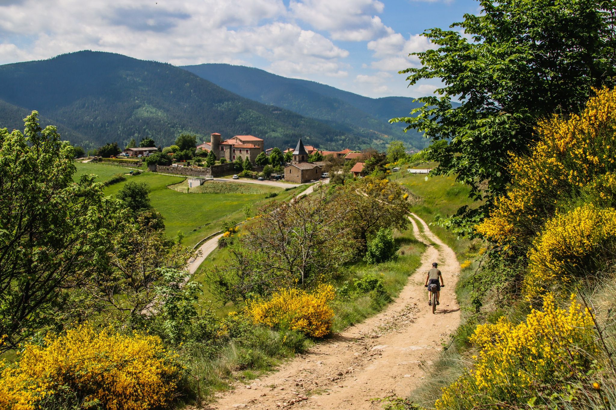
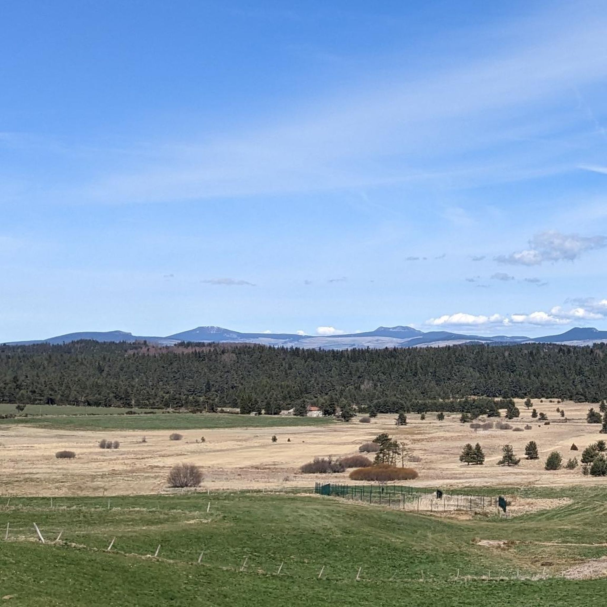
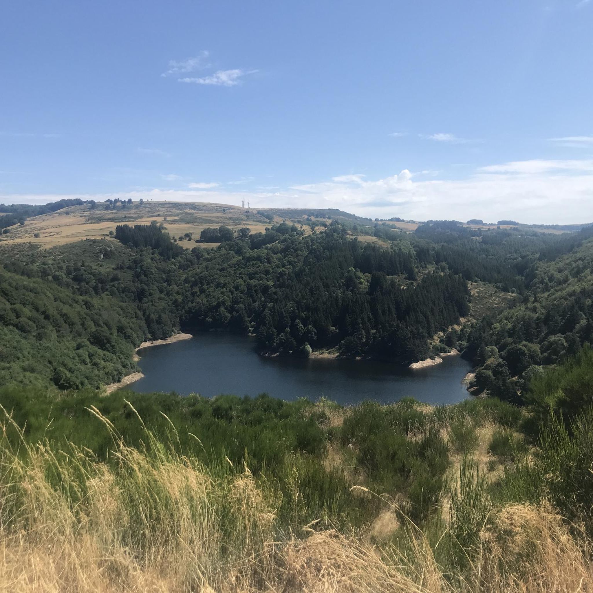
Road cycling around Saint-Cirgues-En-Montagne offers diverse landscapes and challenging terrain within the Montagne Ardéchoise. Situated at 1,200 meters, the region features an invigorating environment of fir forests, lush meadows, and varied elevations. Cyclists encounter winding roads through the Ardèche mountains, alongside unique volcanic formations and clear streams. The area provides numerous road cycling routes, many with significant ascents and panoramic views across the Massif Central.
Best road cycling routes around Saint-Cirgues-En-Montagne
- The most popular road cycling route is Tour of…
Last updated: July 13, 2026
16
riders
82.9km
04:27
1,650m
1,650m
This difficult 51.5-mile road cycling tour on the Mezanc plateau offers challenging climbs and expansive views of the wild Loire River's sou
4.5
(2)
40
riders
37.3km
02:07
760m
760m
Moderate road ride. Good fitness required. Mostly well-paved surfaces and easy to ride.

Sign up for free
28
riders
92.5km
04:55
1,700m
1,700m
Hard road ride. Very good fitness required. Some segments of this route may be unpaved and difficult to ride.
5.0
(1)
20
riders
35.3km
01:51
620m
620m
Moderate road ride. Good fitness required. Mostly well-paved surfaces and easy to ride.
28
riders
59.5km
03:04
1,040m
1,040m
Hard road ride. Very good fitness required. Mostly well-paved surfaces and easy to ride.
Get access to more routes and recommendations from other explorers.
Sign up for free
Already have an account?
Our route recommendations are based on thousands of hikes, rides, and runs completed by other people on komoot.
Start today with a free account
Your next adventure awaits.
Login or Signup
Other adventures around Saint-Cirgues-En-Montagne

Tips from the Community

The Ferme de Clastre is part of the last 15 thatched cottages still "standing" on the Mezenc-Gerbier massif and it is the last one located in the heart of the village. It has the particularity of having a double roof: mineral, made of phonolite slabs, for the two living quarters, and vegetal, dotted with broom, for the stable and hayloft part. The oldest writings found concerning the Ferme de Clastre indicate that its foundation dates back to the 11th century. Clastre, from the Latin "claustrum", was a non-conventual priory attached to the Abbey of Saint Chaffre du Monastier sur Gazeile. However, following two archaeological excavation campaigns carried out by the CNRS in Rennes in 2014 and 2016, charcoal dating has made it possible to prove human presence on this site dating back to 880-970, i.e. about 100 years earlier than the foundation of the priory. https://www.fondation-patrimoine.org/les-projets/ferme-de-clastre-a-sainte-eulalie/30888
0
0
Located at an altitude of 1,330 meters, Lachamp-Raphaël is the highest village in the Ardèche. Dominated by the Montivernoux peak, the village offers exceptional panoramic views of the Alps and the Ardèche mountains. https://lachamp-raphael.fr/
0
0
Eight million years old, Mont Gerbier-de-Jonc owes its conical shape to a viscous, cold lava that was unable to flow away. It is at its foot that the Loire River originates, in three places respectively designated as the geographical, authentic, and true sources. What if the Loire, in addition to its long journey to the Atlantic, also flowed into the Mediterranean? This is the intriguing hypothesis formulated by Gilles Clément after climbing the mountain following a period of drought, during which he nevertheless perceived a regular seepage in the rock. He imagines that Mont Gerbier-de-Jonc functions, in part, as a "water tower": a water trap based on the condensation of water vapor from clouds in desert regions. The collected water would flow at the foot of Mont Gerbier, towards the Atlantic Ocean and the Mediterranean Sea. https://www.lepartagedeseaux.fr/le-parcours-artistique/les-oeuvres-in-situ/la-tour-a-eau/
0
0
In the eastern foothills of the Massif Central, in a harsh climate, at an altitude of 1,380 meters, this former 17th-century farmhouse, built like a fortress in the heart of a windswept plateau, is now a must-see attraction located 3 kilometers from Mont Gerbier-de-Jonc. You'll admire its typical architecture, its 900 m² of phonolite slate roof (local volcanic slabs), its upside-down ship-shaped framework, and its impressive volumes (50 meters long and 10 meters wide). https://www.bourlatier.fr/FR/home.html
1
0


Very nicely located grotto, you can also go swimming below.
0
1
Stroll around the lake on Sunday July 23, 2023. Very pleasant because it is largely shaded. Provide credit card (no possibility to pay in cash) for paid parking from 01/06 to 30/09, package 3€. Lots of people on the beaches and around.
1
0
Frequently Asked Questions
How many road cycling routes are available around Saint-Cirgues-En-Montagne?
There are over 60 road cycling routes available around Saint-Cirgues-En-Montagne. These routes offer a diverse range of experiences, from moderate loops to challenging climbs, catering to various skill levels.
What kind of terrain and elevation can I expect on road cycling routes around Saint-Cirgues-En-Montagne?
The region is characterized by mountainous terrain with varied elevations, high plateaus, and winding roads through the Ardèche mountains. Cyclists can expect significant ascents; for example, the Tour of Mézenc and the Wild Loire features an elevation gain of over 1650 meters. You'll cycle through fir forests, lush meadows, and past unique volcanic formations.
Are there any easy or beginner-friendly road cycling routes in the area?
Yes, while the region is known for its challenging terrain, there are options for less experienced cyclists. You can find moderate routes, such as the Lac d’Issarlès – Lake Issarlès loop from Le Lac-d'Issarlès, which is 37.7 km long and circles the scenic volcanic lake, offering beautiful views without extreme climbs.
What natural features and landmarks can I see along the road cycling routes?
The routes often pass by stunning natural features. You might encounter volcanic formations like the striking Giant's Causeway in Thueyts or the impressive Rue des Géants Basalt Columns. The region also boasts beautiful lakes such as Lac d’Issarlès, and dense fir forests providing panoramic views across the Massif Central.
Are there any circular road cycling routes around Saint-Cirgues-En-Montagne?
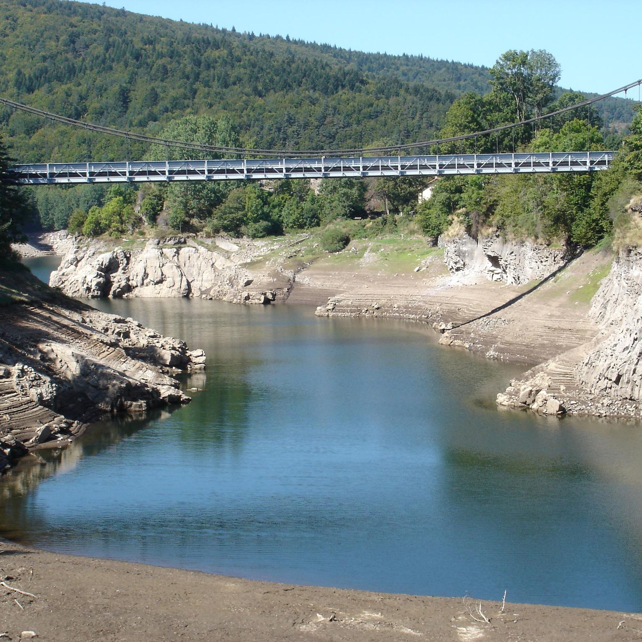
Yes, many routes in the area are designed as circular loops, allowing you to start and finish in the same location. A popular example is the Stone bridge over the Loire loop from Le Lac-d'Issarlès, a 35.3 km trail through the wild Loire valley.
What is the best time of year for road cycling in Saint-Cirgues-En-Montagne?
The region is ideal for road cycling during the warmer months, typically from late spring through early autumn. This period offers pleasant temperatures for tackling the varied elevations and enjoying the lush landscapes of fir forests and meadows. Always check local weather conditions before heading out.
Are there routes suitable for families with children?
While many routes involve significant climbs, some moderate loops around flatter areas like Lac d’Issarlès could be suitable for families with older children or those comfortable with moderate distances. The Lac d’Issarlès – Lake Issarlès loop from Saint-Cirgues-en-Montagne is a moderate 34.6 km option.
What do other road cyclists enjoy most about cycling in Saint-Cirgues-En-Montagne?
The area is highly rated by the komoot community, with an average score of 4.5 stars from over 45 reviews. Cyclists often praise the diverse landscapes, challenging climbs, and expansive views of the wild Loire River and volcanic formations. The invigorating environment of fir forests and lush meadows is also frequently highlighted.
Where can I find parking for road cycling routes in Saint-Cirgues-En-Montagne?
Parking is generally available in and around the main villages and starting points of popular routes, such as Saint-Cirgues-En-Montagne itself or Le Lac-d'Issarlès. It's advisable to check specific route details on komoot for recommended parking locations near your chosen starting point.
Are there any routes that offer particularly challenging climbs?
Absolutely. The region is known for its demanding ascents. For a significant challenge, consider the Lake Issarlès – Route des Sagnes loop from Le Lac-d'Issarlès, which is over 82 km long and features an elevation gain of more than 1730 meters, offering a true test for experienced road cyclists.
What makes the Montagne Ardéchoise region unique for road cycling?
The Montagne Ardéchoise, where Saint-Cirgues-En-Montagne is located, offers a unique blend of invigorating high-altitude environments, diverse volcanic landscapes, and dense fir forests. The winding roads provide a picturesque backdrop for cycling, with opportunities to discover geological wonders, clear streams, and panoramic views across the Massif Central and even the Alps.
Most popular routes around Saint-Cirgues-En-Montagne
Most popular attractions around Saint-Cirgues-En-Montagne

Get inspired with the komoot mobile app


Explore more
Browse the best Road cycling routes in other regions.
