Top 6 Mountain Passes around Sainte-Eulalie
Best mountain passes around Sainte-Eulalie are found in the mountainous Ardéchoise region, a landscape known for its natural features and as the source of the Loire River. Sainte-Eulalie is one of the highest villages in the Ardéchoise Mountain. The area offers diverse terrain, including significant mountain passes and prominent peaks, providing various recreational opportunities.
Best mountain passes around Sainte-Eulalie
- The most popular mountain pass is Boutières Cross Pass, a mountain pass that spans 27.1 kilometers with a total elevation…
Last updated: June 26, 2026
Boutières Cross Pass
Highlight • Mountain Pass
Translated by Google •
Tip by

Col de la Croix Peccata
Highlight • Viewpoint
Translated by Google •
Tip by

Sign up now to discover places like this
Get recommendations on the best single tracks, peaks, & plenty of other exciting outdoor places.
Sign up for free
Col de Mézilhac (1,119 m)
Highlight • Mountain Pass
Translated by Google •
Tip by
Col de Joux
Highlight • Mountain Pass
Translated by Google •
Tip by
Scenic Descent in Parc Naturel Régional des Monts d'Ardèche
Highlight (Segment) • Trail
Translated by Google •
Tip by

Sign up for free to discover even more mountain passes around Sainte-Eulalie.
Sign up for free
Already have an account?
Start today with a free account
Your next adventure awaits.
Login or Signup

Other adventures around Sainte-Eulalie

Tips from the Community

pretty flowers, pretty trees, pretty views, but what more could you ask for...oh yes, a windbreaker, because the mistral makes his grandmother cold.
0
0
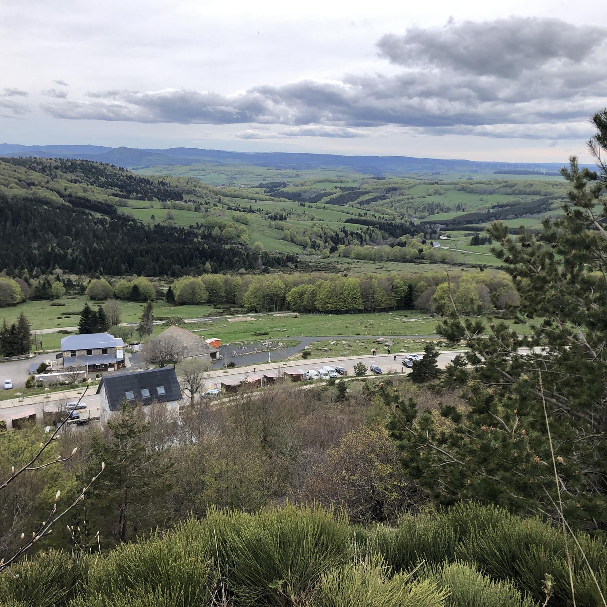
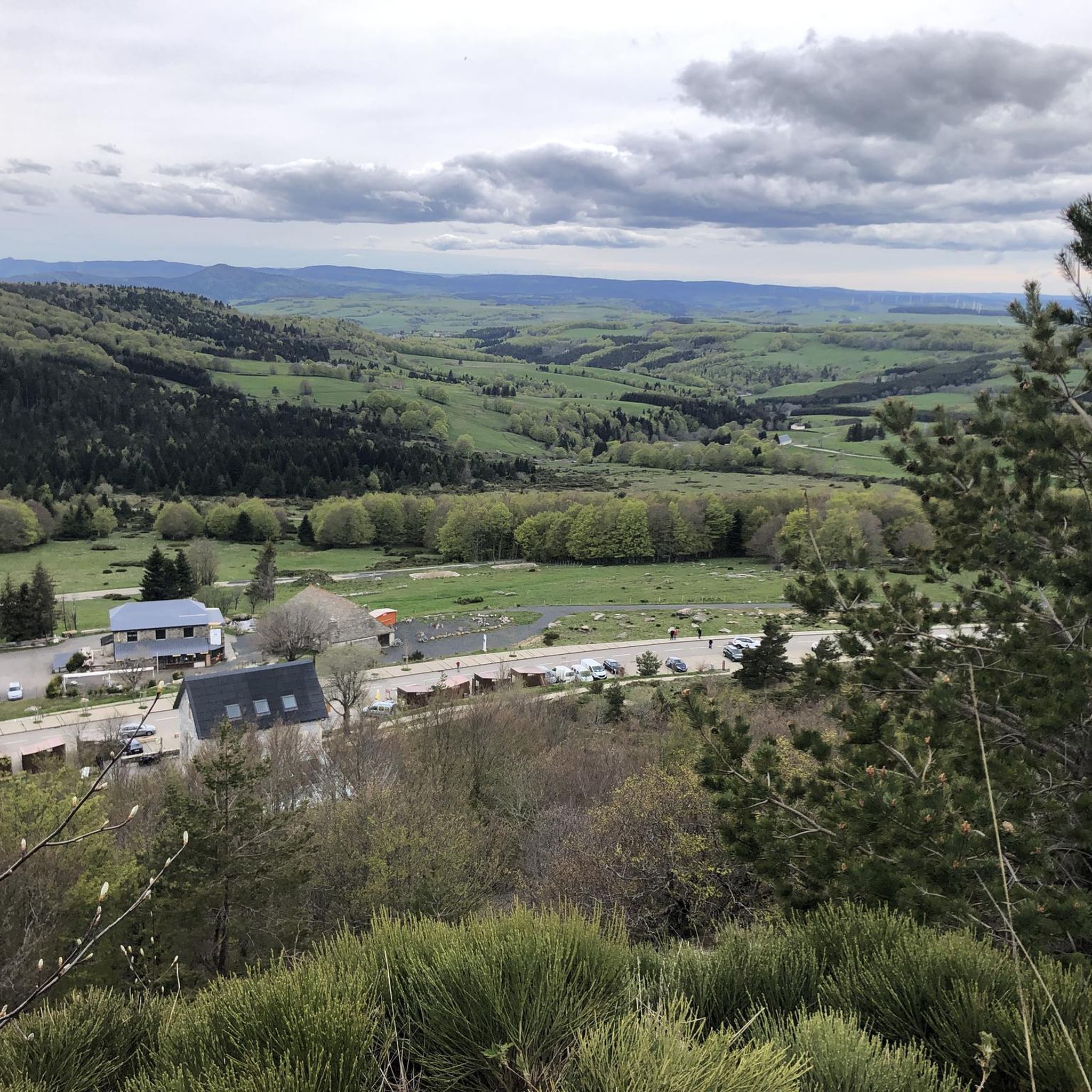
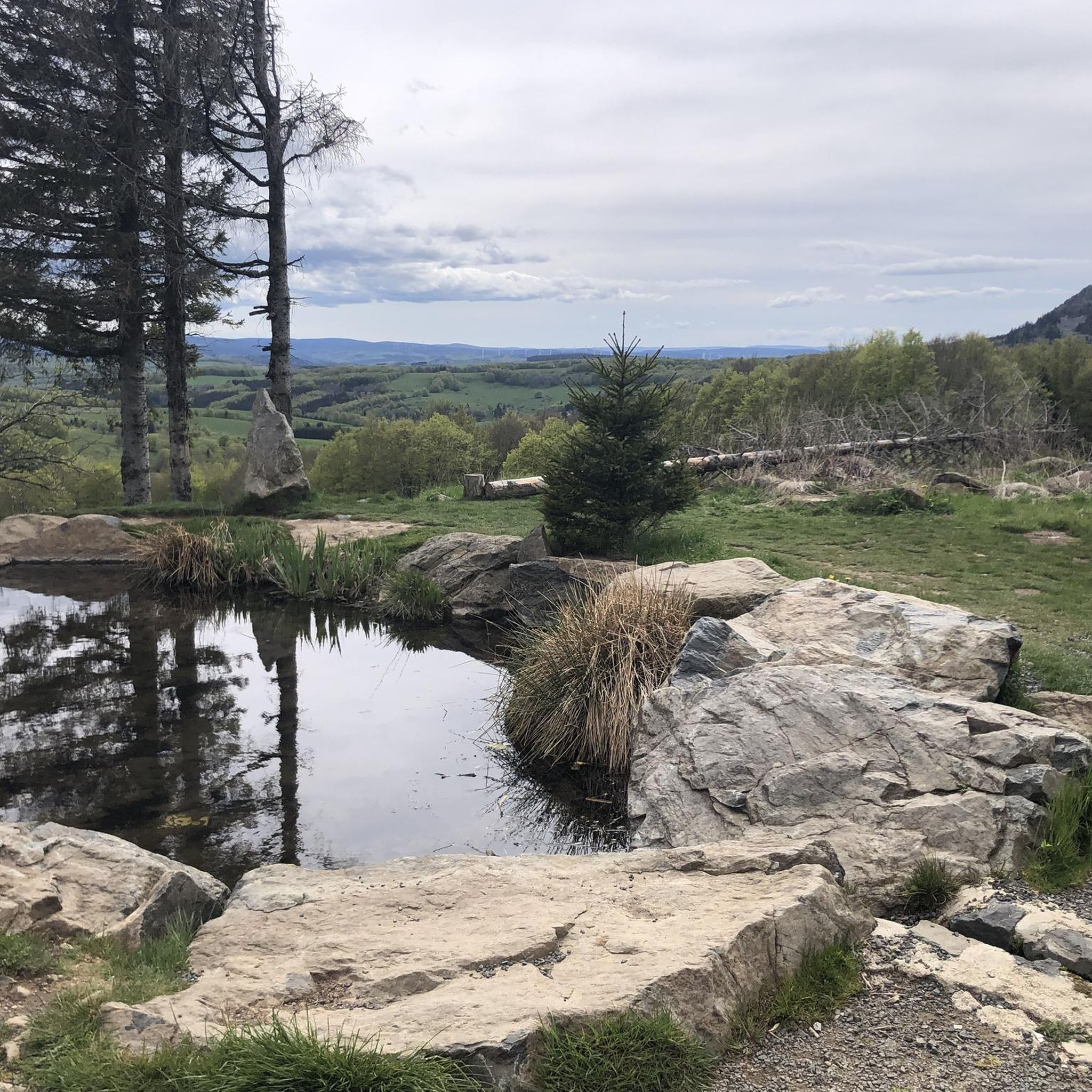
The cross is a bit ugly but it is not for it that we come to frolic in these green lands but rather for this landscape that would make a Caribou pale.
0
0
landscape that would make a caribou pale
0
0

Anyone who wants to stop for a bite to eat should stop here. There are few alternatives. A Grand Café Creme and a generous sandwich for 8 euros.
1
1

A pass at an altitude of over 1500 m. It is the highest in Ardèche.
0
0

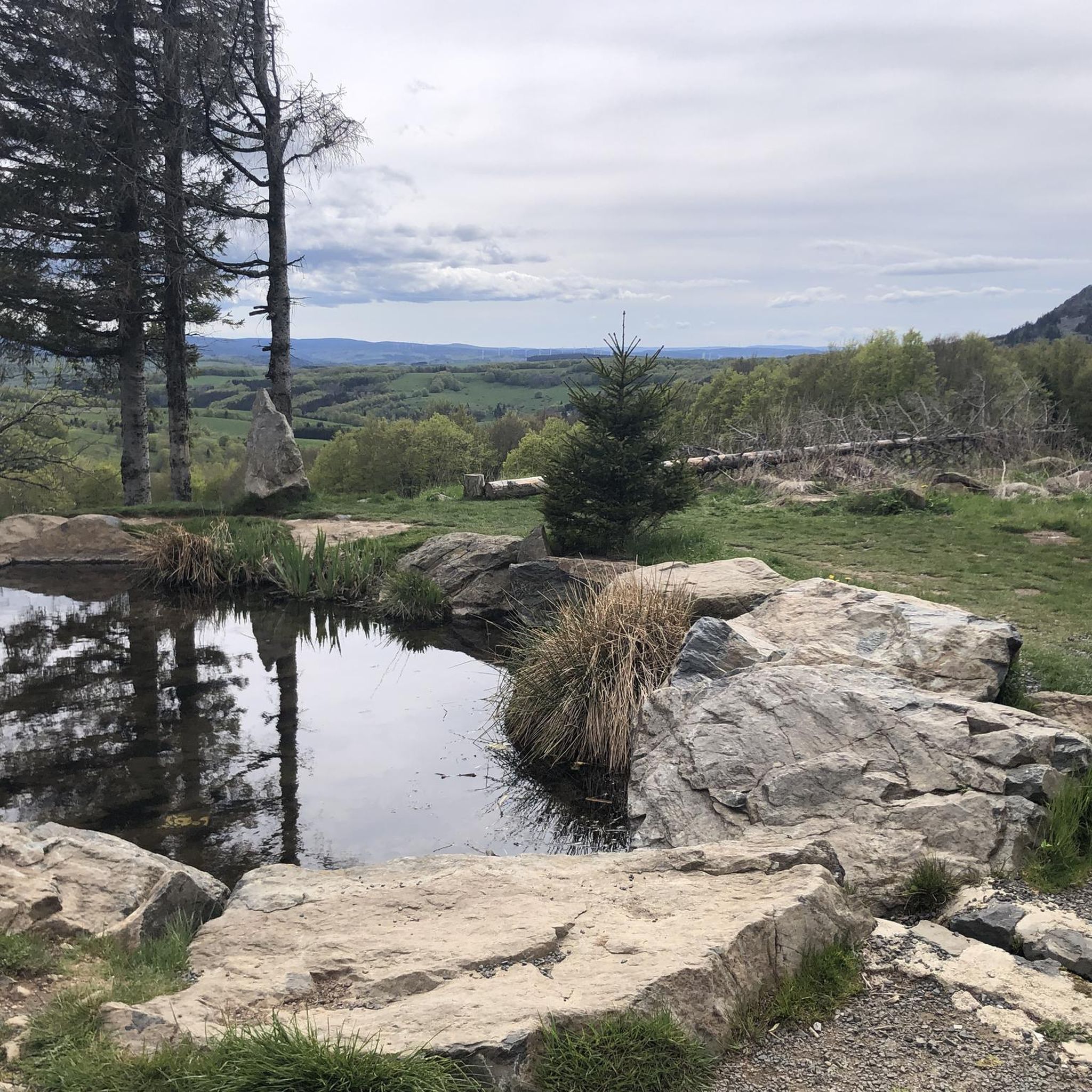
One of the highest road points in Haute-Loire, and a very beautiful view of the Pic Du Lisieux
0
0

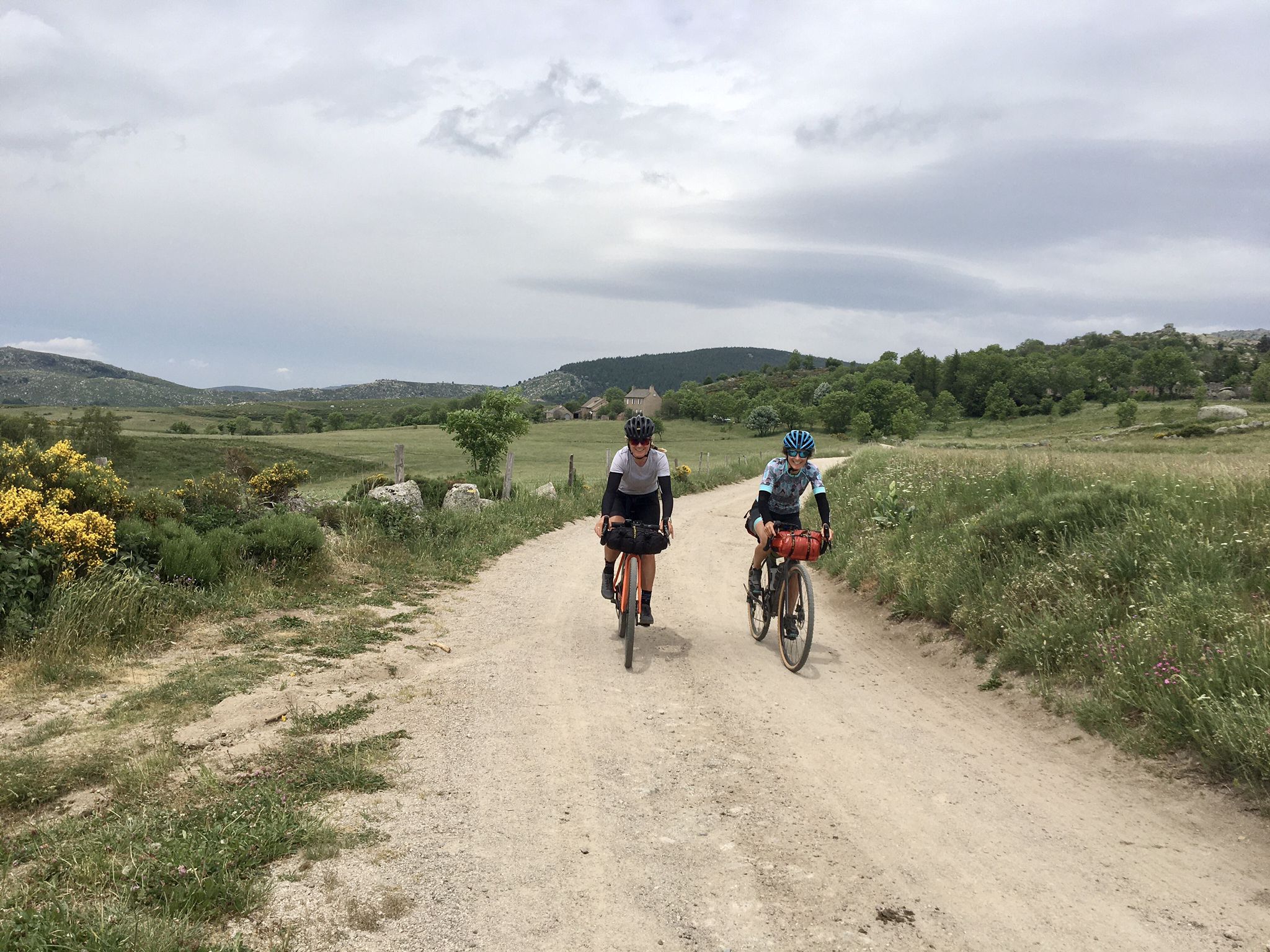
Very regular and varied climb, superb viewpoints, the tilt at the pass allows us to discover another atmosphere with a plateau and meadows.
0
0

The Col de la Croix de Boutières from Saint-Martin-de-Valamas is 27.1km long with a total drop of 1024m. The average gradient is 3.5% with maximum gradients of 9%.
1
0
Frequently Asked Questions
What are the most notable mountain passes around Sainte-Eulalie?
The region around Sainte-Eulalie, located in the mountainous Ardéchoise, features several significant mountain passes. Among the most notable are the Boutières Cross Pass, known for its challenging ascent and spectacular views, and the Col de Mézilhac (1,119 m), a frequent ascent for cyclists with refreshment options. Additionally, the Col de la Croix Peccata offers breathtaking views between Ardèche and Haute-Loire at 1569 m.
What kind of natural features and viewpoints can I expect to see at these passes?
The mountain passes around Sainte-Eulalie offer diverse natural beauty. At Boutières Cross Pass, you'll find spectacular viewing spots and learn about Mont Mézenc, which acts as a watershed between the Mediterranean Sea and the Atlantic Ocean. The Col de la Croix Peccata provides expansive views across the Ardèche and Haute-Loire regions. The area is characterized by young volcanoes, and you can observe rich flora including yellow gentian, daffodils, narcissus, and Martagon lilies.
Are there challenging ascents for cyclists or motorists in the area?
Yes, the region is well-known for its challenging ascents. The climb to Boutières Cross Pass from Saint-Martin-de-Valamas is 27.1 km long with an elevation gain of 1024 m and maximum gradients of 9%. The Col de Mézilhac (1,119 m) also presents a frequent and significant ascent, 22 km long with 700 m of elevation gain. For another challenge, the Col de Joux features an 18.3 km climb with a 587 m elevation gain and maximum gradients of 10%.
What outdoor activities can I do near the mountain passes around Sainte-Eulalie?
Beyond exploring the passes themselves, the area offers a variety of outdoor activities. You can find numerous routes for running, cycling, and road cycling. For running, explore trails like the 'Suc de Sara Loop' or the 'South summit of Mont Mézenc – Croix Boutières Pass loop'. Cyclists can enjoy routes such as the 'Col de Gage - south side – Lac d’Issarlès loop' or the 'Col du Gerbier de Jonc – La Dolce Via loop'. For more details on these activities, visit the Running Trails around Sainte-Eulalie, Cycling around Sainte-Eulalie, and Road Cycling Routes around Sainte-Eulalie guides.
Are there any cafes or refreshment options available at or near the mountain passes?
Yes, some passes offer refreshment options. At Boutières Cross Pass, there is a cafe available for refreshments. The Col de Mézilhac (1,119 m) is also noted as a good place to stop for a bite to eat, with few alternatives in the immediate vicinity.
What is the significance of Mont Gerbier de Jonc in this region?
While not a pass, Mont Gerbier de Jonc is a highly significant and iconic volcanic peak near Sainte-Eulalie. It is renowned as the official source of the Loire River, making it an important watershed. The Ardèche River also rises nearby. This site is a major tourist destination, offering a one-way climbing ascent and descent for visitors and showcasing the region's unique volcanic landscape.
Can I find starting points for hikes at these mountain passes?
Yes, several passes serve as excellent starting points for hikes. The Col de la Croix Peccata, for instance, is a popular departure point for various hikes, especially those heading towards Mont Mézenc.
What do visitors particularly enjoy about the mountain passes around Sainte-Eulalie?
Visitors frequently praise the spectacular viewing spots and the challenging yet rewarding routes for cycling and hiking. The diverse terrain, from challenging climbs to scenic descents, is highly appreciated. The komoot community has shown strong engagement, with over 170 upvotes and 50 photos shared across the highlights, indicating a high level of satisfaction with the natural beauty and recreational opportunities.
Is the area around Sainte-Eulalie suitable for winter activities?
Historically, Sainte-Eulalie has been a cradle of skiing in the Ardèche, with cross-country skiing, jumping, and speed competitions organized there as early as 1908-1909. While specific current winter pass conditions are not detailed, this history suggests the region experiences significant snowfall and has a tradition of winter sports, making it potentially suitable for winter hiking or other snow activities depending on conditions.
Are there any passes that offer a scenic descent?
Yes, the Scenic Descent in Parc Naturel Régional des Monts d'Ardèche is highlighted as a trail and cycle way that offers superb viewpoints during its regular and varied climb, leading to a different atmosphere with plateaus and meadows at the pass.
What is the average difficulty of cycling routes over these mountain passes?
The cycling routes over these mountain passes are generally considered challenging. For example, the ascent to Boutières Cross Pass has an average gradient of 3.5% with maximums of 9%, and the Col de Mézilhac (1,119 m) has an average gradient of 3.18% with maximums of 7.5%. Many nearby cycling routes are also rated as 'difficult' in the komoot guides, indicating that a good level of fitness is recommended.
Most popular routes around Sainte-Eulalie
Most popular attractions around Sainte-Eulalie

Get inspired with the komoot mobile app


Explore more
See even more epic mountain passes by checking out these guides around Sainte-Eulalie:
