The best walks and hikes around Bolquère
4.7
(386)
4,220
hikers
96
hikes
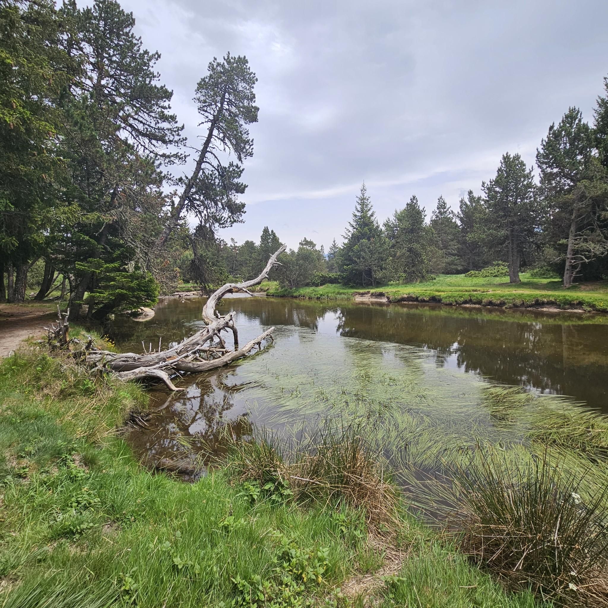
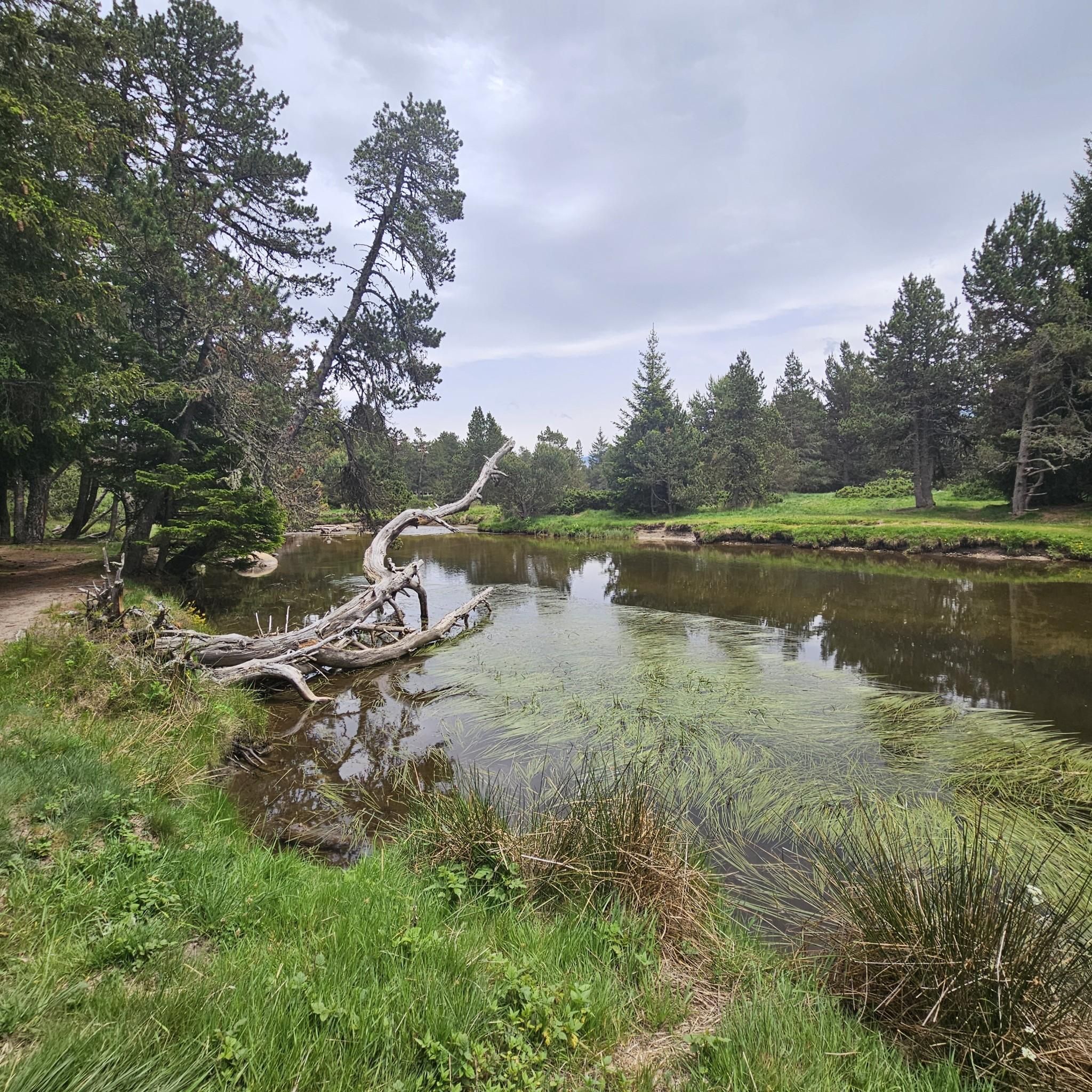
Hiking around Bolquère offers access to the diverse landscapes of the Pyrénées-Orientales, characterized by the majestic Pyrenees mountain range. The region features a variety of terrains, from rolling hills to alpine environments, with numerous lakes, ponds, and the Têt river. Hikers can explore trails through forests, along riverbanks, and near significant peaks like Carlit and Peric.
Best hiking trails around Bolquère
- The most popular hiking route is Along the Têt river – Plà de Barrès River and Forest loop from Bolquère, a 7.8 miles (12.6 km) trail that takes about 3 hours 20 minutes to complete. This moderate route follows the Têt river and winds through forest.
- Another top favourite among local hikers is Lac des Bouillouses – Plà de Barrès River and Forest loop from Bolquère, an easy 3.7 miles (5.9 km) path. This route explores the area around Lac des Bouillouses and through the Plà de Barrès forest.
- Local hikers also love the Font Vive Pond – Pradeilles pond loop from Les Angles, a 3.7 miles (6.0 km) trail leading through varied terrain connecting two notable ponds, often completed in about 1 hour 59 minutes.
- Hiking around Bolquère is defined by its Pyrenean mountain scenery, numerous lakes, and the Têt river valley. The network offers options for easy strolls, moderate forest paths, and more challenging mountain ascents.
- The routes in Bolquère are highly rated by the komoot community with an average score of 4.7 stars from over 300 reviews. More than 3,700 hikers have used komoot to explore Bolquère's varied terrain.
Last updated: June 25, 2026
4.7
(61)
398
hikers
12.6km
03:20
120m
120m
Moderate hike. Good fitness required. Easily-accessible paths. Suitable for all skill levels.
4.7
(24)
184
hikers
Easy hike. Great for any fitness level. Easily-accessible paths. Suitable for all skill levels.

Sign up for free
4.7
(10)
194
hikers
Easy hike. Great for any fitness level. Easily-accessible paths. Suitable for all skill levels.
4.7
(22)
159
hikers
Easy hike. Great for any fitness level. Easily-accessible paths. Suitable for all skill levels.
4.4
(10)
146
hikers
6.00km
02:00
210m
210m
Moderate hike. Great for any fitness level. Mostly accessible paths. Sure-footedness required.
Get access to more routes and recommendations from other explorers.
Sign up for free
Already have an account?
Our route recommendations are based on thousands of hikes, rides, and runs completed by other people on komoot.
Start today with a free account
Your next adventure awaits.
Login or Signup

Other adventures around Bolquère

Tips from the Community

Very pleasant hike in the woods
0
0

bank on the campsite side much less busy between the two bridges.
0
0
The road is omnipresent, which is a shame because the site is pleasant and very accessible.
0
0

magnificent landscapes, restoration on the bouillouses
0
0

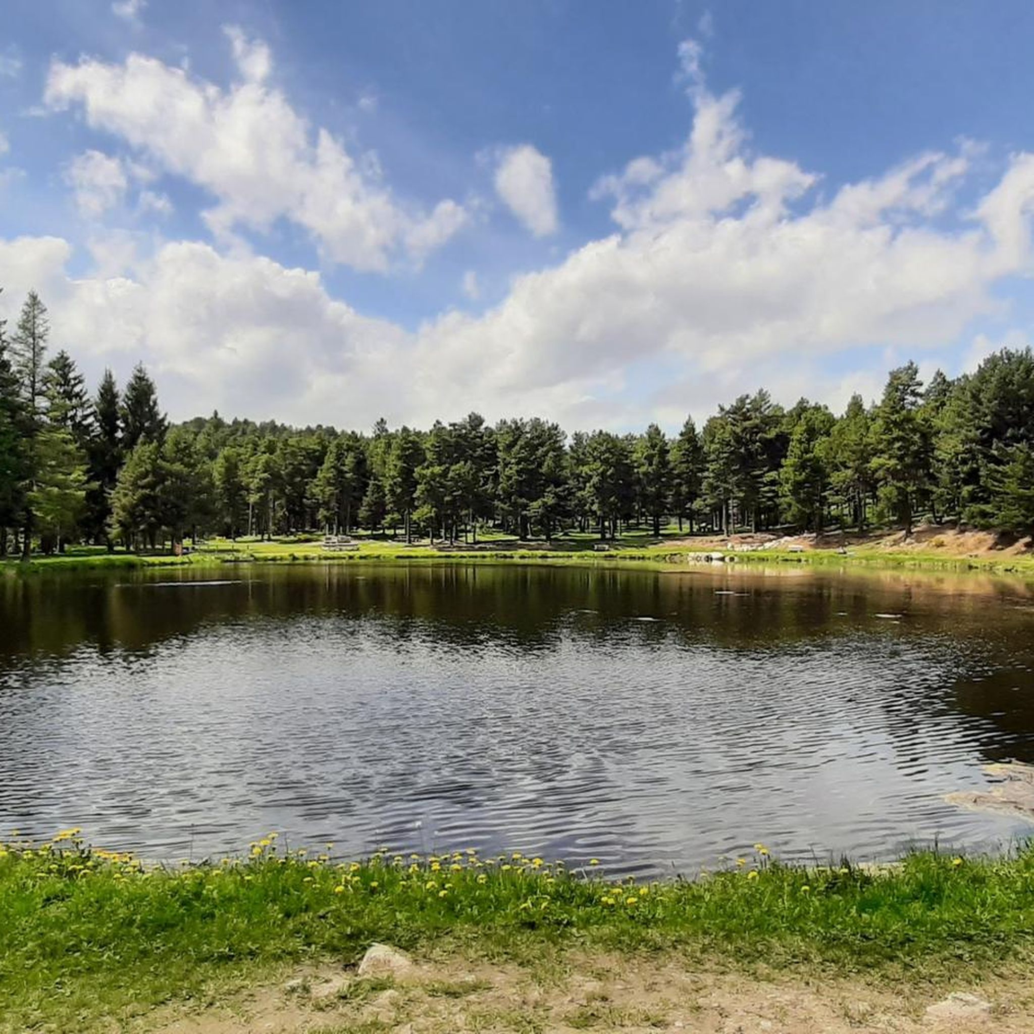
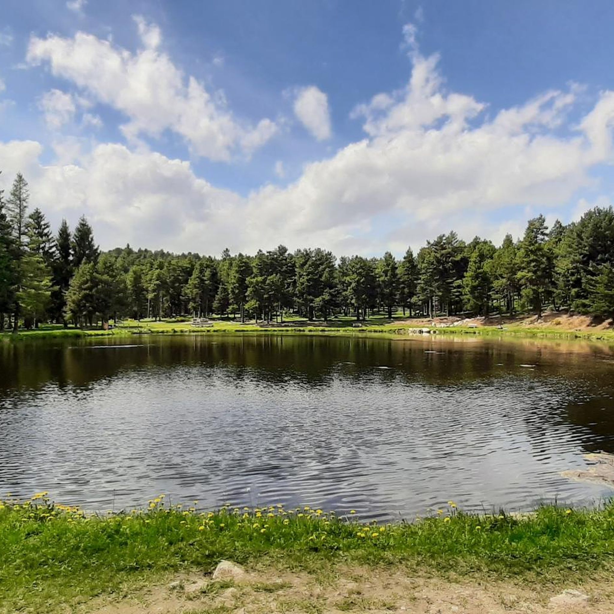
This pond is a little haven of peace hidden among the trees and surrounded by small clearings. In this small natural setting, the mountain in the distance manages to make its way through the middle of the forest to offer you an even more beautiful spectacle. So come and breathe a little.
0
0
This superb lake is located directly on the GR 10 and has the advantage of being much less busy than its big brother, Lac des Bouillouses. If you are looking for peace and quiet, I recommend taking your break here instead.
2
0

This hiking section leads directly over a pasture. Important: you should keep a respectful distance from the animals. Never walk between a mother and her foal or calf. Be sure to close the enclosure carefully.
1
0
Beautiful hiking section, perfect for swimming and picnics. We walked directly in the river with the swimming shoes :)
0
1
Frequently Asked Questions
How many hiking trails are available around Bolquère?
Bolquère offers a wide variety of hiking opportunities, with over 90 routes available. These range from easy strolls to more challenging mountain ascents, catering to all skill levels.
Are there any easy hikes suitable for beginners or families with young children?
Yes, Bolquère has numerous easy trails. For a gentle walk, consider the Lac des Bouillouses – Plà de Barrès River and Forest loop from Bolquère, an easy 5.9 km path exploring the area around Lac des Bouillouses. Another easy option is the Plà de Barrès River and Forest – Along the Têt river loop from Mont-Louis, which is 7.6 km long.
What kind of natural features can I expect to see on hikes around Bolquère?
The region is rich in natural beauty, characterized by the majestic Pyrenees. You'll encounter crystal-clear lakes such as Lake Bouillouses, Viver Lake, and Lake Matemale. The Têt river flows through the area, offering scenic riverbank trails, and you can also explore diverse forest landscapes and dramatic mountain scenery with peaks like Carlit and Peric in the distance.
Are there any circular hiking routes in the Bolquère area?
Yes, many trails around Bolquère are designed as loops. A popular moderate circular route is the Along the Têt river – Plà de Barrès River and Forest loop from Bolquère, which is 12.6 km long. Another option is the Font Vive Pond – Pradeilles pond loop from Les Angles, a 6 km moderate trail connecting two notable ponds.
What do other hikers enjoy most about the trails in Bolquère?
The hiking trails around Bolquère are highly rated by the komoot community, with an average score of 4.7 stars from over 300 reviews. Hikers often praise the diverse Pyrenean mountain scenery, the serene lakes, and the well-maintained paths through forests and along river valleys.
Can I bring my dog on the hiking trails in Bolquère?
Many trails in the Pyrénées-Orientales are dog-friendly, but it's always recommended to check specific trail regulations, especially within the Natural Park of the Catalan Pyrenees, regarding leash requirements or restricted areas to protect wildlife. Generally, dogs are welcome on most paths, provided they are kept under control.
What is the best time of year to go hiking in Bolquère?
The best time for hiking in Bolquère is typically from late spring to early autumn (May to October) when the weather is mild and trails are clear of snow. During these months, you can enjoy the full beauty of the alpine flora and access higher mountain routes. Winter offers opportunities for snowshoeing, but many hiking trails may be inaccessible due to snow.
Are there any notable landmarks or viewpoints along the hiking routes?
Absolutely. Hikers can discover several significant landmarks and viewpoints. The area features mountain passes like Col de la Perche (1,579 m) and Col du Calvaire (Font-Romeu), offering panoramic views. The dramatic Carançà Gorge, with its vertiginous corniche and suspension bridges, is also a unique and exciting feature for adventurous hikers.
How long do hikes around Bolquère typically take?
Hike durations vary significantly depending on the route's length and difficulty. Easy trails like the Plà de Barrès River and Forest – Têt Riverbank loop from Les Llúdries (3.6 km) can be completed in just over an hour. Moderate routes, such as the 12.6 km Along the Têt river – Plà de Barrès River and Forest loop from Bolquère, typically take around 3 hours and 20 minutes.
Is public transport available to reach hiking trailheads from Bolquère?
While specific public transport options directly to every trailhead may vary, Bolquère is situated in a region with some local bus services that connect to nearby villages and attractions. For longer-distance trails like the GR10, sections are often accessible via regional transport. It's advisable to check local bus schedules for connections to specific starting points.
Are there any challenging or difficult hikes for experienced hikers?
Yes, for experienced hikers, the broader Pyrenean landscape near Bolquère offers demanding routes, including sections of the GR10 long-distance trail and ascents towards peaks like Carlit and Peric. The Albères massif also presents more challenging options. There are 5 difficult routes listed in the area, providing significant elevation gain and rugged terrain.
Where can I find information about permits or regulations for hiking in the area?
Bolquère is part of the Natural Park of the Catalan Pyrenees. While most day hikes do not require specific permits, it's always good practice to be aware of park regulations, especially concerning protected areas, camping, and fire restrictions. For general information on hiking in the Pyrénées-Orientales, you can consult resources like tourisme-pyrenees-mediterranee.com.
Most popular routes around Bolquère
Most popular attractions around Bolquère

Get inspired with the komoot mobile app


Explore more
Browse the best Hikes in other regions.
