The best road cycling routes around Amaliendorf-Aalfang
4.9
(29)
862
riders
48
rides
Road cycling routes around Amaliendorf-Aalfang traverse the distinctive granite landscape of the Waldviertel region in Lower Austria. This area, part of the Bohemian Massif, offers varied terrain with a mix of ascents and descents suitable for road cyclists. The extensive network of paths winds through large forests, numerous meadows, and past lakes, providing a scenic backdrop for rides. The region's geological features include fascinating granite rock formations, contributing to the unique visual interest along the routes.
Best road cycling routes around Amaliendorf-Aalfang
- The most popular road cycling route is Litschau Castle – European Signpost loop from Langegg, a 37.1 miles (59.6 km) trail that takes 2 hours 41 minutes to complete. This moderate route offers views of Litschau Castle and passes a European signpost.
- Another top favourite among local road cyclists is Nové Hrady – Gmünd Town Square loop from Langegg, a moderate 38.6 miles (62.1 km) path. This route connects the towns of Nové Hrady and Gmünd, offering a blend of rural and townscapes.
- Local road cyclists also love the Nagelberg Glass Art – České Velenice Border Crossing loop from Langegg, a 39.3 miles (63.3 km) trail leading through varied terrain, often completed in about 2 hours 34 minutes.
- Road cycling around Amaliendorf-Aalfang is defined by its granite landscape, extensive forests, and numerous lakes. The network offers options for different ability levels, from moderate to more challenging routes.
- The routes in Amaliendorf-Aalfang are highly rated by the komoot community with an average score of 4.9 stars from more than 10 reviews. More than 600 road cyclists have used komoot to explore Amaliendorf-Aalfang's varied terrain.
Last updated: October 18, 2026
5.0
(1)
27
riders
59.9km
02:58
600m
600m
Moderate road ride. Good fitness required. Some segments of this route may be unpaved and difficult to ride.
5.0
(1)
17
riders
Moderate road ride. Good fitness required. Mostly well-paved surfaces and easy to ride.

12
riders
37.9km
01:35
250m
250m
Easy road ride. Great for any fitness level. Mostly well-paved surfaces and easy to ride.
6
riders
60.9km
02:50
590m
590m
Moderate road ride. Good fitness required. Some segments of this route may be unpaved and difficult to ride.
4
riders
63.2km
02:52
520m
520m
Moderate road ride. Good fitness required. Some segments of this route may be unpaved and difficult to ride.
Get access to more routes and recommendations from other explorers.
Already have an account?
Our route recommendations are based on thousands of hikes, rides, and runs completed by other people on komoot.
Start today with a free account
Your next adventure awaits.
Tips from the Community


Very cozy traditional bakery in Heidenreichstein, near the town square, a hidden gem for freshly filled meringue rolls👌😋
0
0


Always worth a trip. But if you are looking for peace and quiet, you should rather come by during the week, it can be quite busy on weekends.
0
0
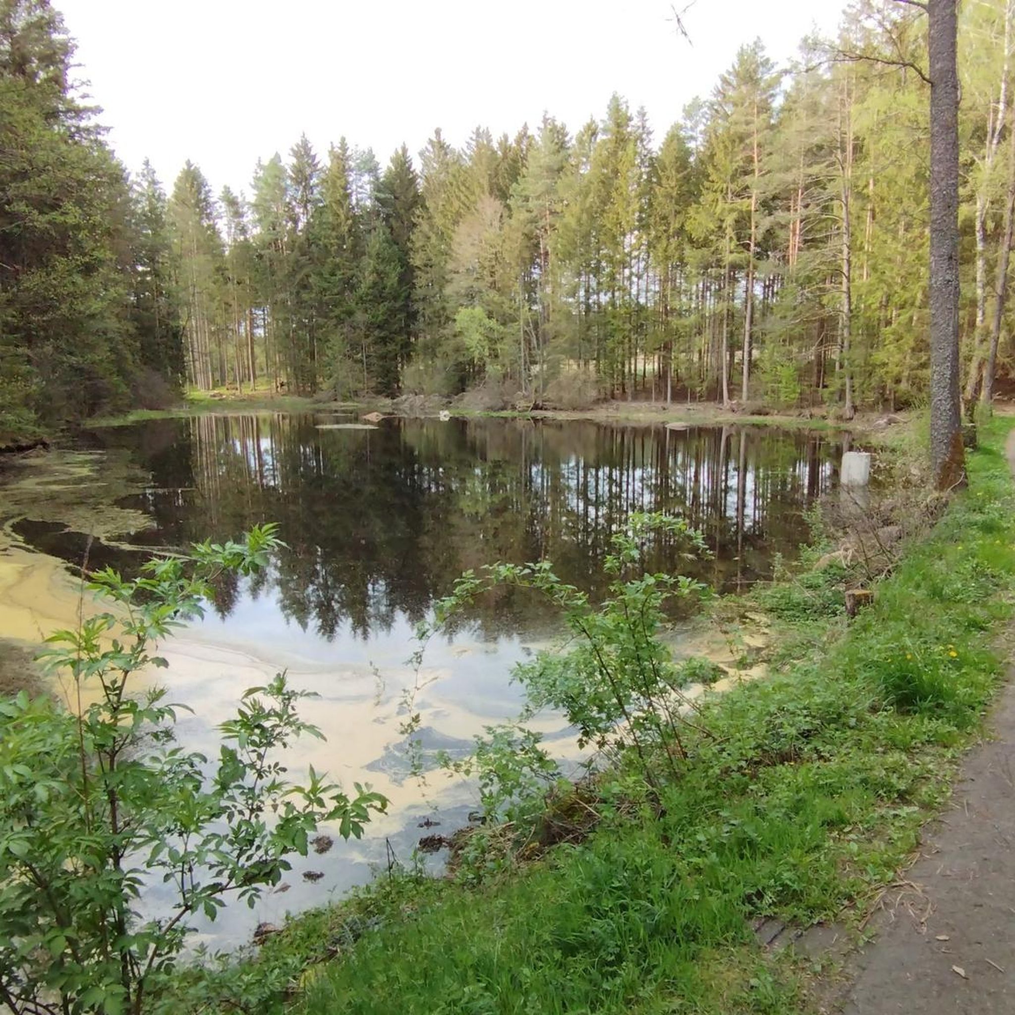
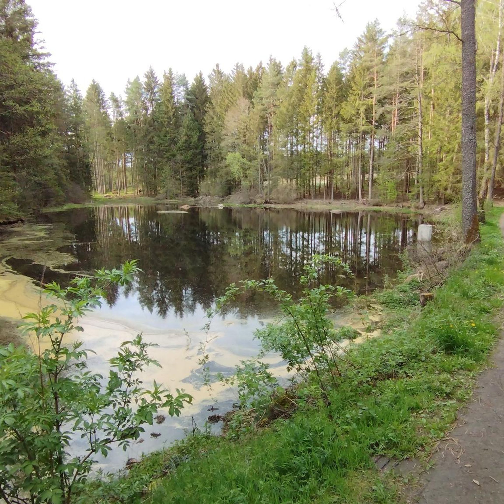
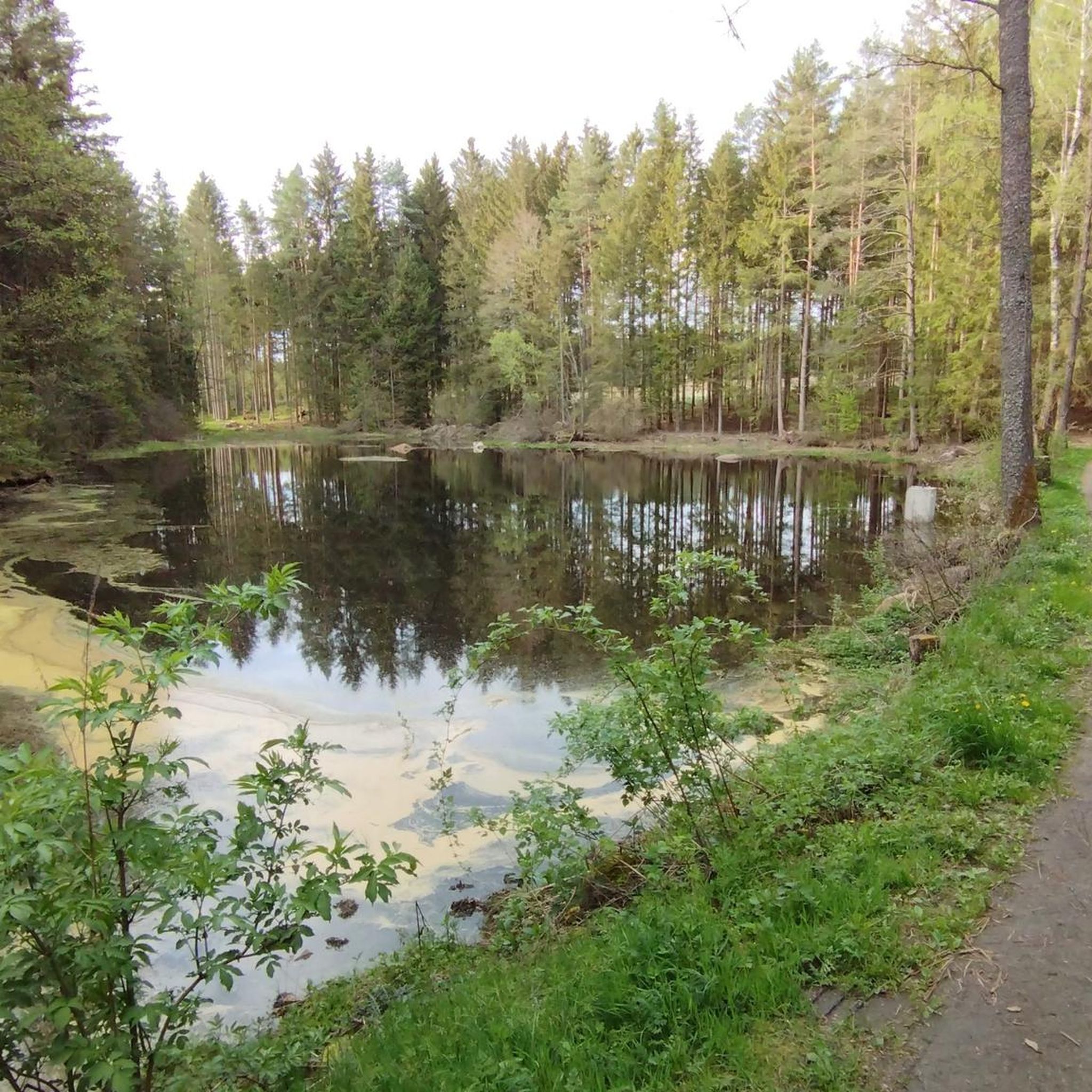
Lots of waterfowl but unfortunately nothing to sit on.
0
0

Take a break at the main square in Waidhofen/Thaya. Enjoy a short stroll along the southern promenade or treat yourself to an ice cream or coffee at one of the pastry shops in Böhmgasse or Niederleutnerstraße.
1
0

Very worth seeing, definitely make a stop
0
0

Tip: You can find travel guides (free shipping) for the Czech Republic at: https://www.reise-karhu.de/reisebuecher.html
0
0
Frequently Asked Questions
What kind of terrain can I expect on road cycling routes around Amaliendorf-Aalfang?
The region is characterized by its distinctive granite landscape, part of the Bohemian Massif. This means you'll encounter varied terrain with a mix of ascents and descents, offering an engaging experience for road cyclists. Routes often wind through extensive forests, meadows, and past numerous lakes.
Are there road cycling routes suitable for beginners or families in Amaliendorf-Aalfang?
Yes, Amaliendorf-Aalfang offers a good selection of routes for different abilities. You'll find 10 easy road cycling routes that are generally suitable for beginners or families looking for a more relaxed ride. These routes often feature paved sections through scenic landscapes.
What is the best time of year for road cycling in Amaliendorf-Aalfang?
The best time for road cycling in Amaliendorf-Aalfang is typically during the warmer months, from spring through autumn. The extensive network of paths through forests and past lakes provides a pleasant environment, especially when the weather is mild.
Can I find circular road cycling routes around Amaliendorf-Aalfang?
Yes, many of the road cycling routes around Amaliendorf-Aalfang are designed as loops, allowing you to start and end your ride in the same location. For example, the Litschau Castle – European Signpost loop from Langegg is a popular circular route.
Are there any interesting natural attractions or landmarks to see along the road cycling routes?
Absolutely. The region is known for its fascinating granite rock formations, including unique 'Wackelsteine' (wobbling stones). You can also find nearby natural parks like the Schrems High Moor or Blockheide Observation Tower, which offer unique landscapes and viewpoints.
What do other road cyclists say about the routes in Amaliendorf-Aalfang?
The road cycling routes in Amaliendorf-Aalfang are highly rated by the komoot community, with an average score of 4.9 stars from over 17 reviews. Cyclists often praise the varied terrain, the scenic views of forests and lakes, and the well-maintained paths.
Are there any routes that pass through towns or offer cultural sights?
Yes, some routes connect different towns, offering a blend of rural and urban scenery. For instance, the Nové Hrady – Gmünd Town Square loop from Langegg connects the towns of Nové Hrady and Gmünd, where you can explore the Gmünd Town Square.
Where can I find parking for road cycling routes in Amaliendorf-Aalfang?
Many routes start from villages or designated parking areas. While specific parking details for every route vary, you can often find suitable parking in or near the starting points of the tours, such as Langegg, which is a common starting point for several routes.
Are there any challenging road cycling routes for experienced riders?
Yes, for more experienced riders, there are 5 difficult road cycling routes available. These routes typically feature more significant elevation gains and longer distances, providing a good challenge amidst the Waldviertel's granite landscape.
Can I combine road cycling with other activities in the Amaliendorf-Aalfang area?
Absolutely. The region offers various outdoor activities. You could take a break from cycling to explore the unique bog landscapes and walking paths at Naturpark Hochmoor Schrems, or visit the historic Burg Heidenreichstein in the nearby town of Heidenreichstein.
What is the typical length of road cycling routes in this area?
The road cycling routes around Amaliendorf-Aalfang vary in length. Many popular routes are moderate, ranging from approximately 45 km to over 60 km. For example, the Geißbachteich – Samplteich loop from Langegg is about 45 km, while the Nagelberg Glass Art – České Velenice Border Crossing loop from Langegg is around 63 km.
Most popular routes around Amaliendorf-Aalfang
Most popular attractions around Amaliendorf-Aalfang

Get inspired with the komoot mobile app


Explore more
Browse the best Road cycling routes in other regions.
