The best road cycling routes around Brugairolles
4.5
(41)
1,713
riders
139
rides
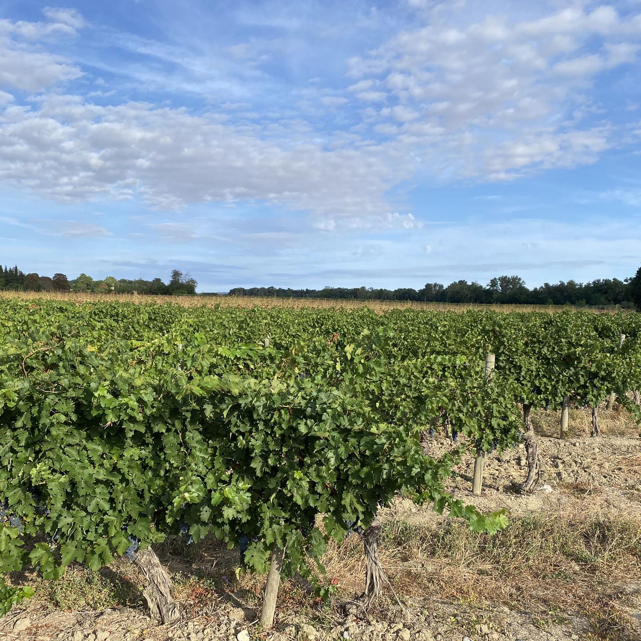
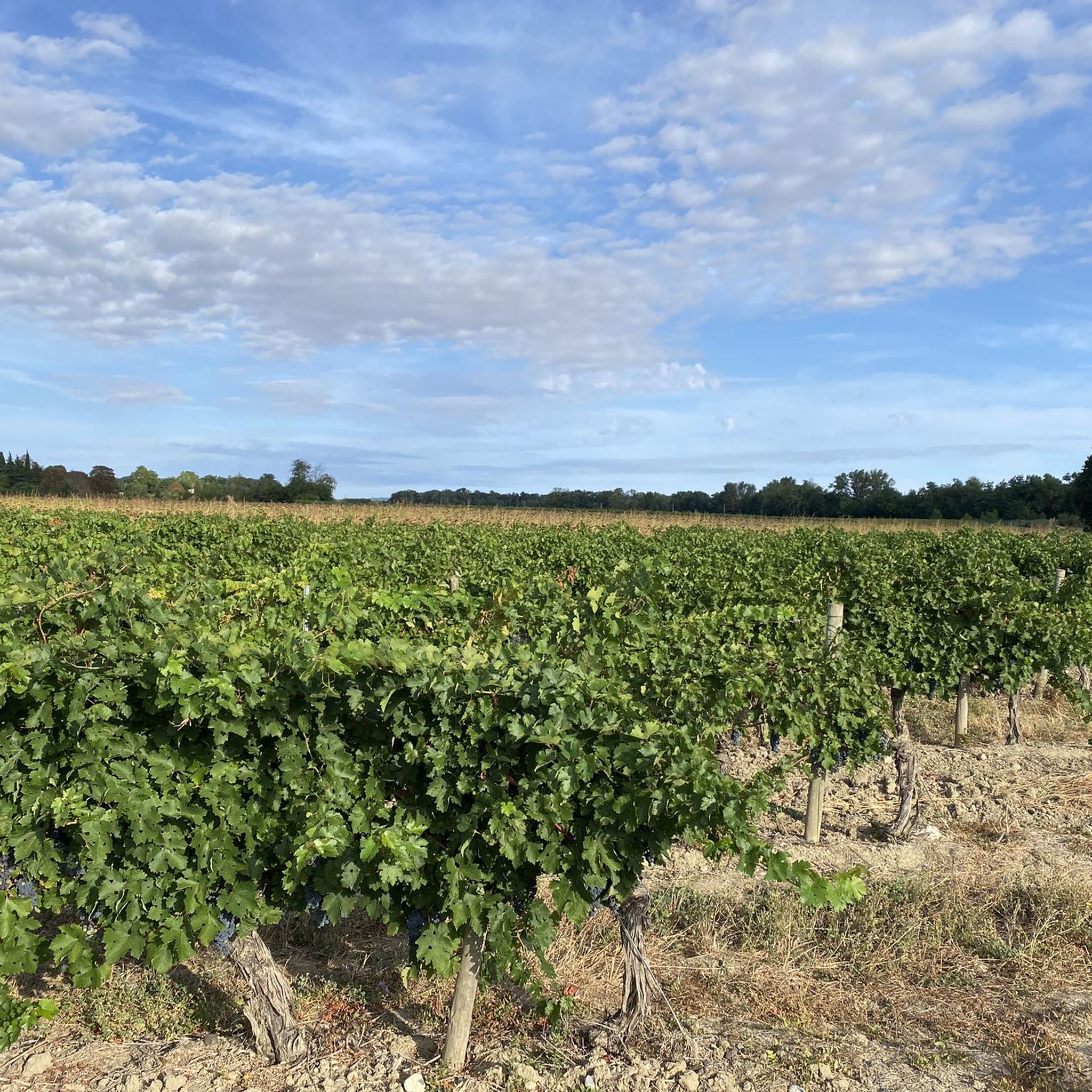
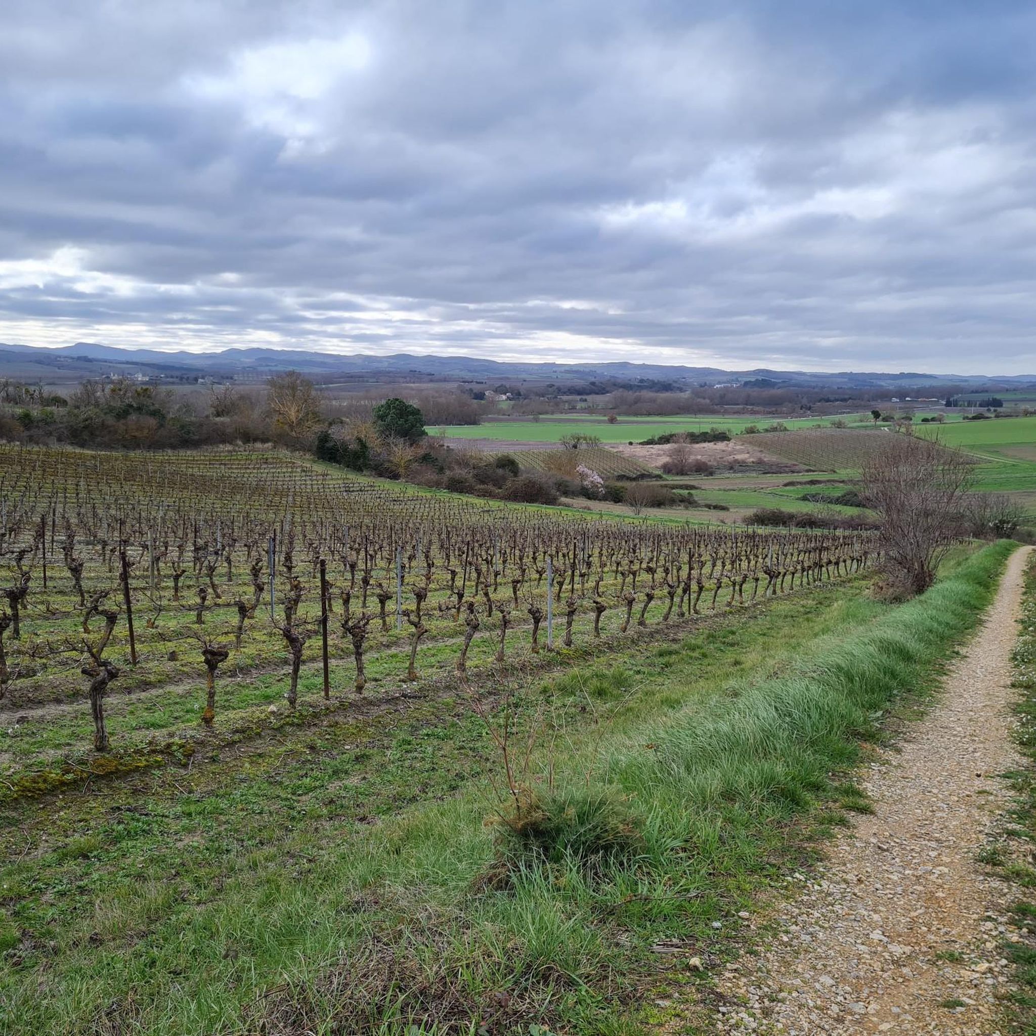
Road cycling around Brugairolles features a landscape of rolling hills and open countryside, offering varied terrain for cyclists. The region includes a mix of gentle ascents and longer climbs, with elevations ranging from modest rises to over 800 meters. These characteristics provide diverse options for road cyclists seeking different levels of challenge.
Best road cycling routes around Brugairolles
- The most popular road cycling route is Col de Dieudé – Place de la République loop from Lauraguel, a 47.5 miles…
Last updated: July 2, 2026
9
riders
76.5km
03:38
840m
840m
Moderate road ride. Good fitness required. Some segments of this route may be unpaved and difficult to ride.
5.0
(1)
6
riders
19.9km
00:59
260m
260m
Easy road ride. Great for any fitness level. Mostly well-paved surfaces and easy to ride.

Sign up for free
3.0
(1)
6
riders
30.9km
01:24
330m
330m
Moderate road ride. Good fitness required. Mostly well-paved surfaces and easy to ride.
4
riders
30.8km
01:44
180m
180m
Easy road ride. Great for any fitness level. Mostly well-paved surfaces and easy to ride.
6
riders
94.1km
04:46
1,410m
1,410m
Hard road ride. Very good fitness required. Some segments of this route may be unpaved and difficult to ride.
Get access to more routes and recommendations from other explorers.
Sign up for free
Already have an account?
Our route recommendations are based on thousands of hikes, rides, and runs completed by other people on komoot.
Start today with a free account
Your next adventure awaits.
Login or Signup


Tips from the Community

For years I have been passing by you, you whose age is immeasurable. Some would call you venerable (I will have to look up the dictionary to determine whether or not I am included in this group). What I do know is that you existed long before me, and I hope you will exist long after me.
1
0

Very beautiful landscape from Montréal and a piece of the "voie verte"!
0
0

Little gem in the village of Cailhau. A friendly place to eat and drink before, during or after a walk.
0
0
A very remote place where it is preferable to wear wide shoes. I went to 25 mm, it's a bit tight considering the number of potholes.
0
0

Beautiful square with great cafes and bars. Try Stacys for an awesome burger. Wine tasting at atelier des vignerons if you have time!
0
0
magnificent climb from Limoux to reach the gorges of the Orbieu
1
0
A pass on an alternative route to make the journey Mirepoix - Limoux
0
0
Frequently Asked Questions
How many road cycling routes are available around Brugairolles?
There are over 130 road cycling routes available around Brugairolles, offering a wide range of options for different skill levels and preferences.
What kind of terrain can I expect on road cycling routes near Brugairolles?
Road cycling around Brugairolles features a landscape of rolling hills and open countryside. You'll encounter a mix of gentle ascents and longer climbs, with elevations ranging from modest rises to over 800 meters, providing diverse options for all cyclists.
Are there easy road cycling routes suitable for beginners or families in Brugairolles?
Yes, Brugairolles offers several easy road cycling routes. A great option is the Place de la République loop from Lauraguel, an easy 17.2-mile (27.7 km) path with gentle gradients. Another accessible choice is the Bistro AKOTEE loop from Cailhau, a 12.4-mile (19.9 km) trail through open countryside.
What are some challenging road cycling routes around Brugairolles?
For those seeking a challenge, the Col de Dieudé – Place de la République loop from Lauraguel is a popular choice. This moderate 47.5-mile (76.5 km) route features significant elevation gain, traversing varied and demanding terrain.
What is the best season for road biking in Brugairolles?
The region generally offers pleasant cycling conditions from spring through autumn. Spring brings blooming landscapes, while autumn provides cooler temperatures and vibrant colors. Summer can be warm, so early morning or late afternoon rides are often preferred.
Are there any scenic viewpoints or landmarks along the road cycling routes?
Yes, the routes often pass through picturesque countryside. You might encounter charming settlements like Fanjeaux, or historical points of interest such as the Canal du Midi Stone Marker. The Greenway from the Canal du Midi to Montségur also offers scenic sections.
What do other road cyclists enjoy most about road cycling in Brugairolles?
The komoot community highly rates road cycling in Brugairolles, with an average score of 4.6 stars from over 20 reviews. Cyclists often praise the region's rolling hills, quiet country roads, and the diverse options available for different ability levels.
Are most road cycling routes around Brugairolles loop trails?
Yes, many of the road cycling routes around Brugairolles are designed as loops, allowing you to start and finish at the same point. This makes planning your ride and return journey convenient.
Where can I find parking for road cycling routes in Brugairolles?
Parking is typically available in the villages and towns where routes often begin, such as Lauraguel or Cailhau. These starting points usually offer convenient access to the road network.
Are there any moderate-difficulty road cycling routes in the area?
Absolutely. A good example is the La Maison Barthélemy loop from Cambieure, which is 41.3 km long. Another moderate option is the Bistro AKOTEE – Château de Villarzel-du-Razès loop from Cailhau, covering 30.9 km with notable climbs.
What are the typical distances for road cycling routes in Brugairolles?
Route distances vary significantly, catering to all levels. You can find shorter routes around 12-17 miles (20-28 km), such as the Bistro AKOTEE loop from Cailhau, up to longer rides like the Col de Dieudé – Place de la République loop from Lauraguel, which is 47.5 miles (76.5 km).
Most popular routes around Brugairolles
Most popular attractions around Brugairolles

Get inspired with the komoot mobile app


Explore more
Browse the best Road cycling routes in other regions.
