The best mountain hikes around Saint-Légier-La Chiésaz
4.6
(13)
114
hikers
16
hikes
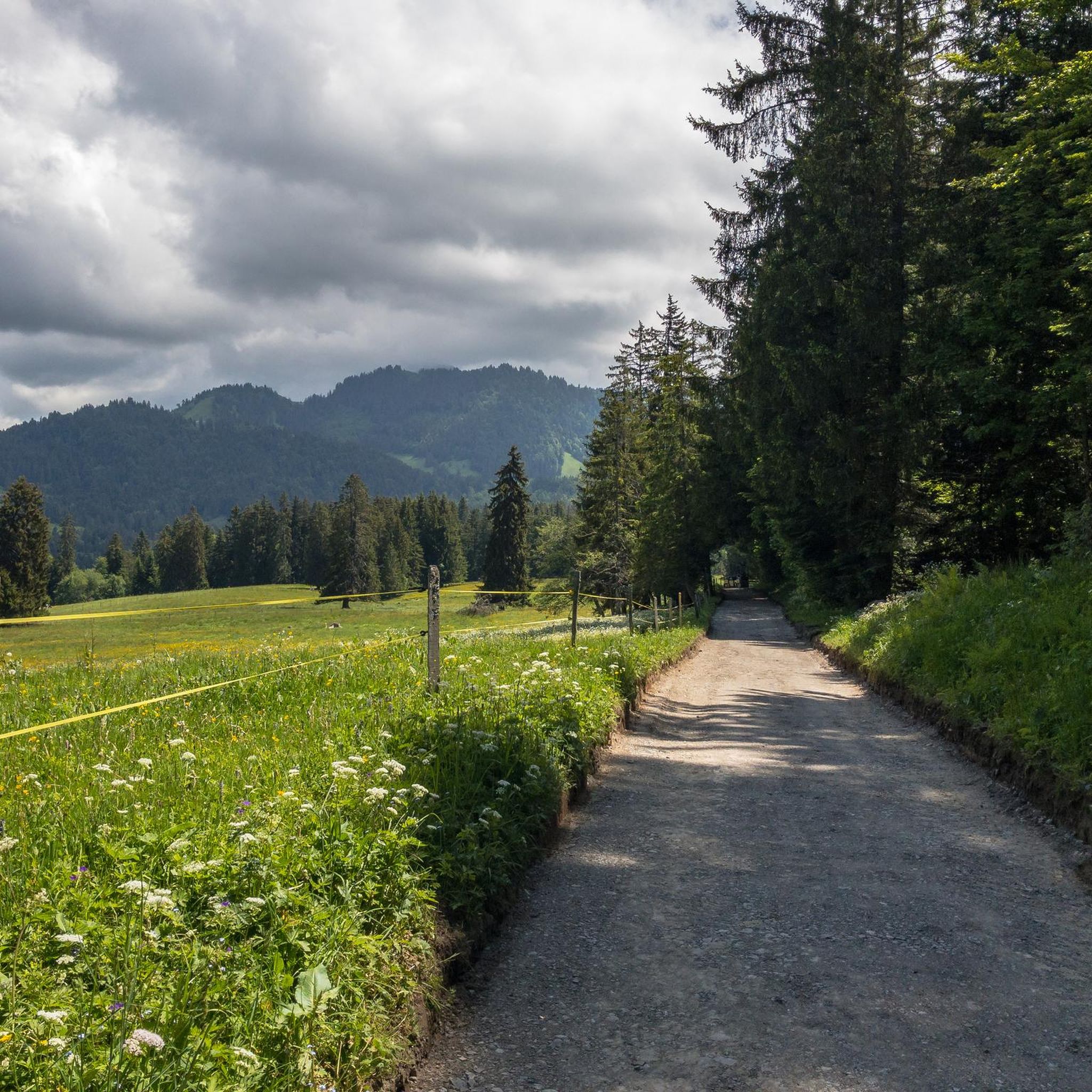
Mountaineering around Saint-Légier-La Chiésaz offers access to a diverse mountainous landscape in the Swiss canton of Vaud. The region is characterized by numerous peaks, including Le Moléson Summit, and features terrain shaped by glaciers, creating varied relief. Outdoor enthusiasts can explore a mix of forests, agricultural lands, and elevated areas. This environment provides a range of challenging ascents and scenic mountain trails.
Best mountaineering routes around Saint-Légier-La Chiésaz
- The most popular mountaineering route is Rochers de Naye – Sautodoz loop…
Last updated: July 11, 2026
4.5
(2)
18
hikers
14.8km
06:30
1,010m
1,010m
Hard mountaineering route. Very good fitness required. Sure-footedness, sturdy shoes and alpine experience required.
5.0
(1)
13
hikers
9.50km
04:00
610m
610m
Moderate mountaineering route. Good fitness required. Mostly accessible paths. Sure-footedness required.

Sign up for free
4.0
(1)
12
hikers
10.9km
04:52
800m
800m
Hard mountaineering route. Good fitness required. Sure-footedness, sturdy shoes and alpine experience required.
5.0
(1)
8
hikers
5.32km
02:14
310m
310m
Hard mountaineering route. Good fitness required. Sure-footedness, sturdy shoes and alpine experience required.
4.7
(3)
9
hikers
Hard mountaineering route. Good fitness required. Sure-footedness, sturdy shoes and alpine experience required.
Get access to more routes and recommendations from other explorers.
Sign up for free
Already have an account?
Our route recommendations are based on thousands of hikes, rides, and runs completed by other people on komoot.
Start today with a free account
Your next adventure awaits.
Login or Signup
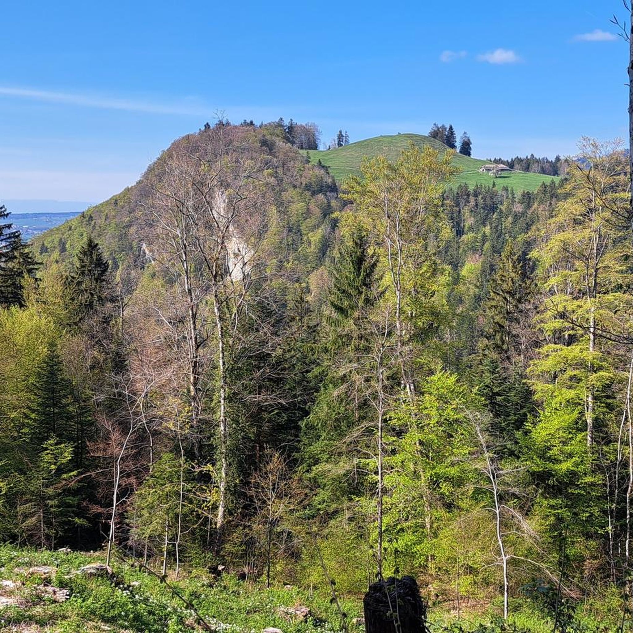
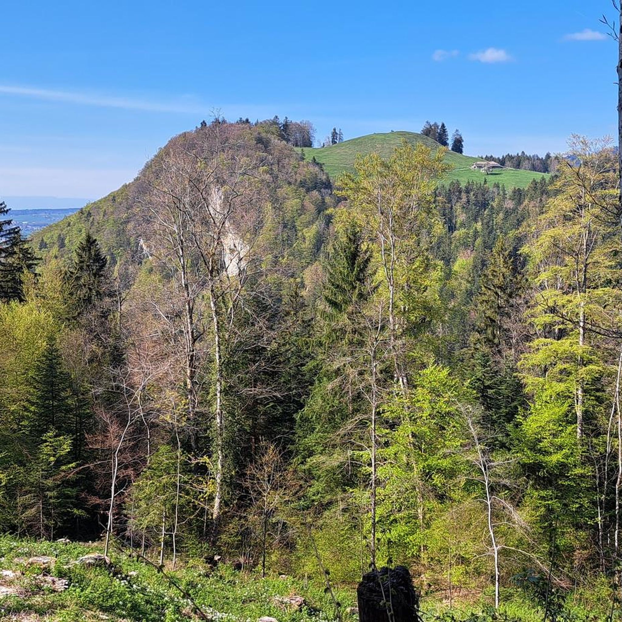
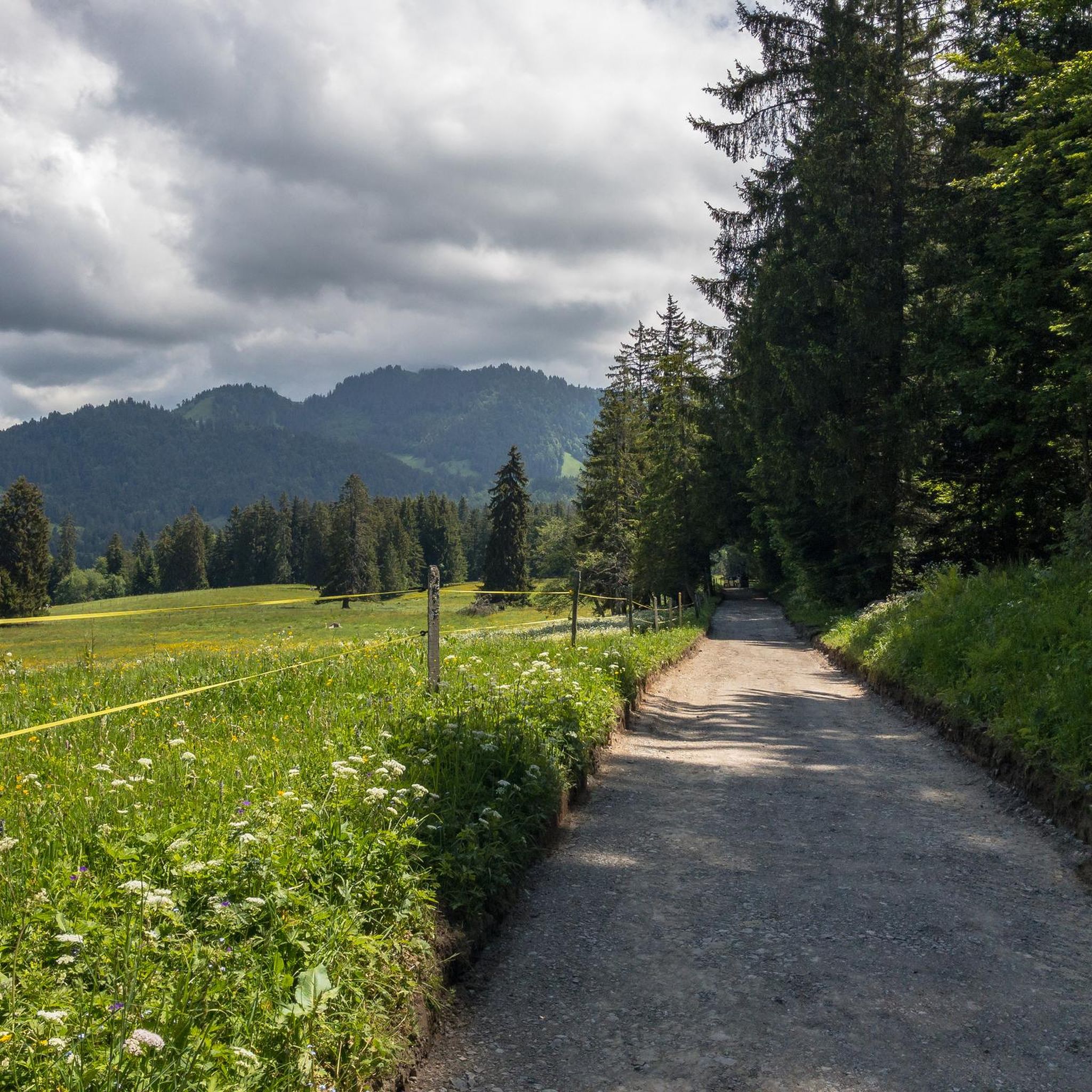
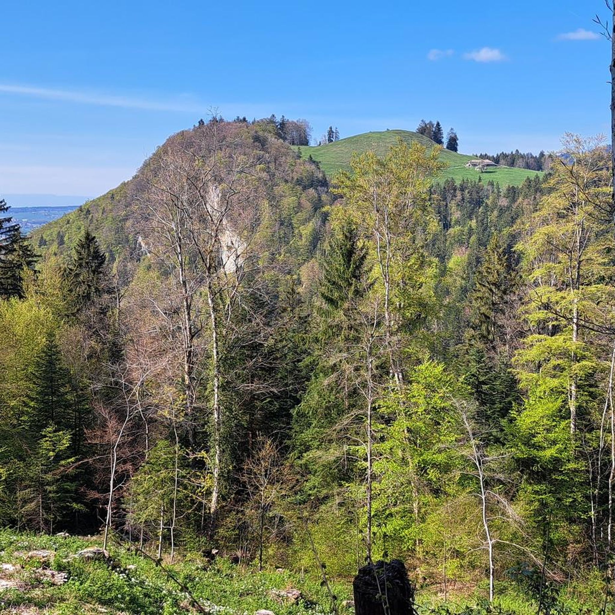

Tips from the Community

A lovely hike with a fair amount of climbing. Upon reaching the top, you climb the ridge to the summit. Magnificent view ♡ People with a fear of heights should avoid! This hike is not ideal for those with a dog or walking poles.
1
0

We stopped by here in June 2025. Unfortunately, the fromagerie was closed. The people were very nice, but it looked like it would be a while before it reopened.
0
0

According to the website, the hut will be open to guests this summer (2025) for meals and overnight stays. Unfortunately, on June 22nd, it was still closed.
1
0

Yes, from Bretaye or from the car park at the end of the forest road, it is an alpine pasture whose last few hundred metres are steep, ideal for the ibex with which I came face to face last June, in the fog!
1
0
On foot or by train, for the pleasure of a housewarming or steaming, for a picnic or an alpine restaurant, for the alpine garden or for paragliding, the ROCHERS DE NAYE are the essential destination for thousands of mountain lovers, all different!
0
1

At just 1,875 metres above sea level, the Dent de Jaman stands out with its shape reminiscent of the highest Alpine peaks. Even if you are in the Vaud Pre-Alps, its ascent is technical and requires a certain amount of experience.
3
2

Refreshment stop to warm up in suboptimal weather
0
0

An absolute must for cave freaks. The cave is dark, steep, wet and slippery.
4
0
Frequently Asked Questions
How many mountaineering routes are available around Saint-Légier-La Chiésaz?
There are over 20 mountaineering routes in the Saint-Légier-La Chiésaz region, offering a diverse range of experiences for outdoor enthusiasts. These routes are highly rated by the komoot community, with an average score of 4.7 stars.
What kind of terrain can I expect on mountaineering routes near Saint-Légier-La Chiésaz?
The terrain around Saint-Légier-La Chiésaz is characterized by a diverse mountainous landscape, featuring prominent peaks, dense forests, and open alpine areas. You'll encounter varied relief shaped by glaciers, with routes often including rocky sections and alpine meadows. Most routes are classified as moderate to difficult, with significant elevation gains.
Are there any circular mountaineering routes in Saint-Légier-La Chiésaz?
Yes, several routes in the area are circular, allowing you to start and end at the same point. A notable example is the Dent de Lys loop from Les Paccots, which is a difficult 6.8-mile (10.9 km) trail leading through alpine meadows and rocky sections.
What are some of the most scenic viewpoints or landmarks along the mountaineering trails?
The region offers numerous scenic viewpoints. Many routes provide extensive vistas of surrounding peaks, especially from summits like Le Moléson. You might also encounter unique features such as the AstroPléiades Astronomy Trail, which is both scenic and educational, or the Le Moléson Summit itself. The Col de Soladier also offers great views.
Are there any easier mountaineering options for beginners in the area?
While many routes are classified as difficult, there are 7 moderate mountaineering routes available around Saint-Légier-La Chiésaz. These routes offer a less strenuous experience while still allowing you to enjoy the mountainous landscape. For example, the Dent de Jaman loop from Dent de Jaman is a shorter, difficult route that might be more manageable for those looking for a less demanding challenge.
What is the typical duration for mountaineering routes in this region?
The duration of mountaineering routes in Saint-Légier-La Chiésaz varies depending on the distance and difficulty. For instance, the Rochers de Naye – Sautodoz loop from Caux is a difficult 8.9-mile (14.4 km) trail that typically takes around 6 hours and 24 minutes. Shorter routes, like the Dent de Jaman loop, can be completed in about 2 hours and 13 minutes.
Are there any routes that pass by interesting natural features like gorges or caves?
Yes, the region features several natural attractions. For example, the Grotte de Naye – Grotte de Nayes Entrance loop from Dent de Jaman will take you near the Grotte des Nayes. Other nearby natural features include the Gorges du Chauderon and the Vallon de l'Hongrin.
What is the best time of year for mountaineering in Saint-Légier-La Chiésaz?
The best time for mountaineering in Saint-Légier-La Chiésaz is generally during the warmer months, from late spring to early autumn, when trails are clear of snow and weather conditions are more stable. This allows for better access to higher elevations and more comfortable hiking. Always check local weather forecasts and trail conditions before heading out.
Are there any family-friendly mountaineering routes or activities in the area?
While many mountaineering routes are challenging, the region offers a range of outdoor activities that can be adapted for families. For instance, the AstroPléiades Astronomy Trail is a scenic and educational panoramic spot that might appeal to families. For easier ascents to summits like Le Moléson, cable cars are available, making the views accessible without a full mountaineering effort.
Can I bring my dog on the mountaineering routes?
Many trails in the Swiss Alps are dog-friendly, but it's always recommended to check specific route regulations and local signage. Ensure your dog is well-behaved, on a leash where required, and capable of handling the terrain and duration of the chosen route. Always carry enough water for both yourself and your dog.
What kind of facilities or amenities can I find near the mountaineering routes?
Near the mountaineering routes, you can often find small villages or settlements like Les Avants Village, which may offer basic amenities such as cafes or restaurants. For more extensive services, Saint-Légier-La Chiésaz itself provides various options. It's advisable to carry sufficient supplies, especially water and snacks, as facilities might be sparse on the trails themselves.
Is public transport available to reach the starting points of these routes?
The region around Saint-Légier-La Chiésaz is part of Switzerland's well-developed public transport network. While specific starting points may vary, many trailheads are accessible via train or bus services. For example, the Rochers de Naye – Sautodoz loop starts from Caux, which is accessible by train.
Most popular routes around Saint-Légier-La Chiésaz
Most popular attractions around Saint-Légier-La Chiésaz

Get inspired with the komoot mobile app


Explore more
Browse the best Mountain Hikes & Routes in other regions.
