The best mountain hikes around Rougemont
4.8
(5)
47
hikers
5
hikes
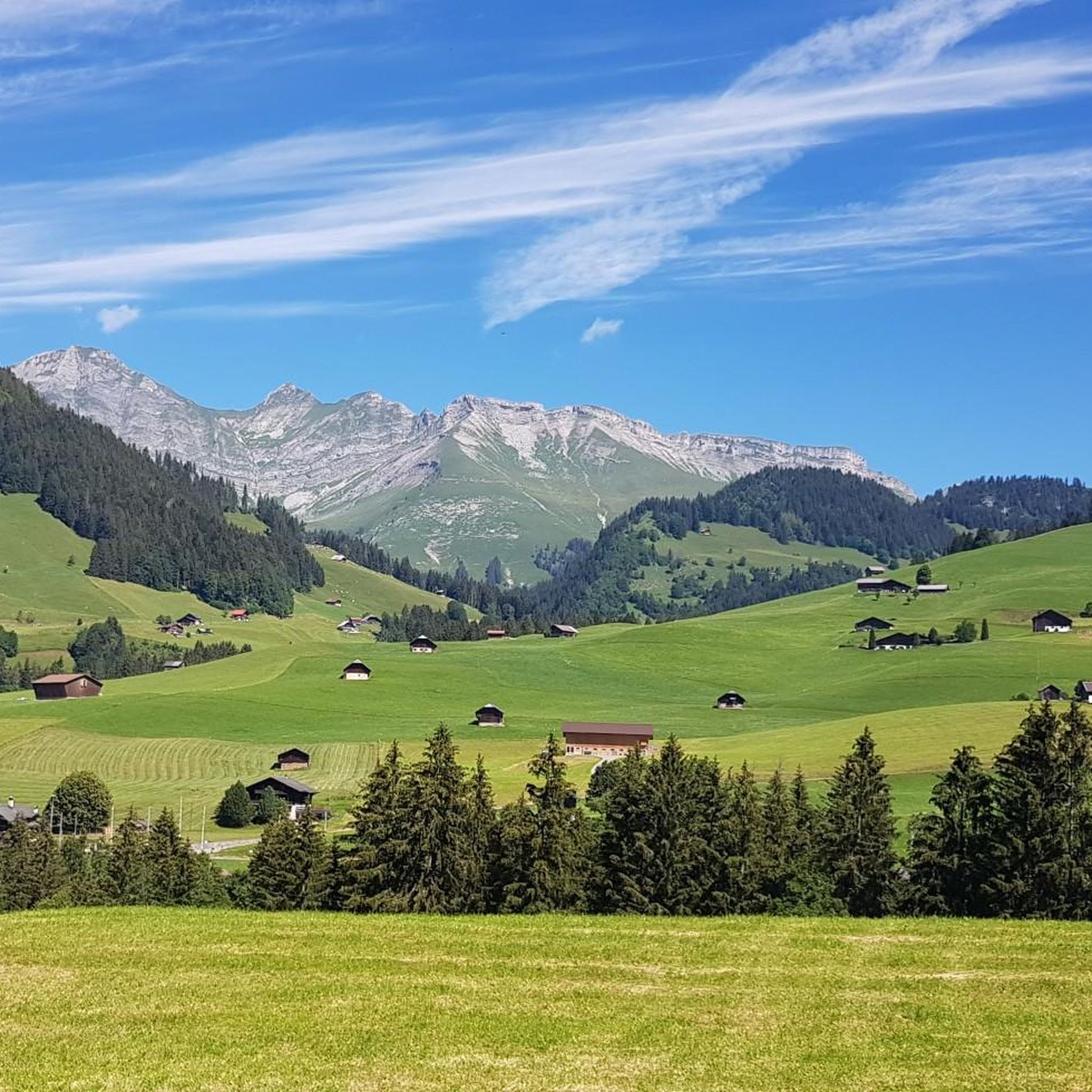
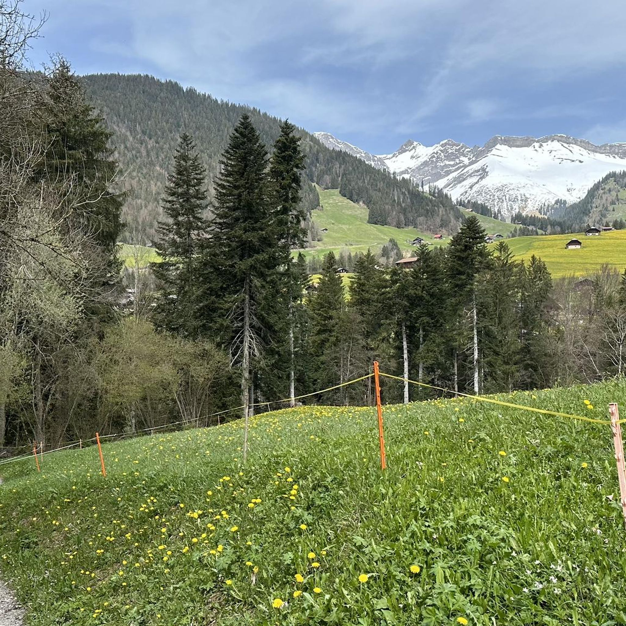
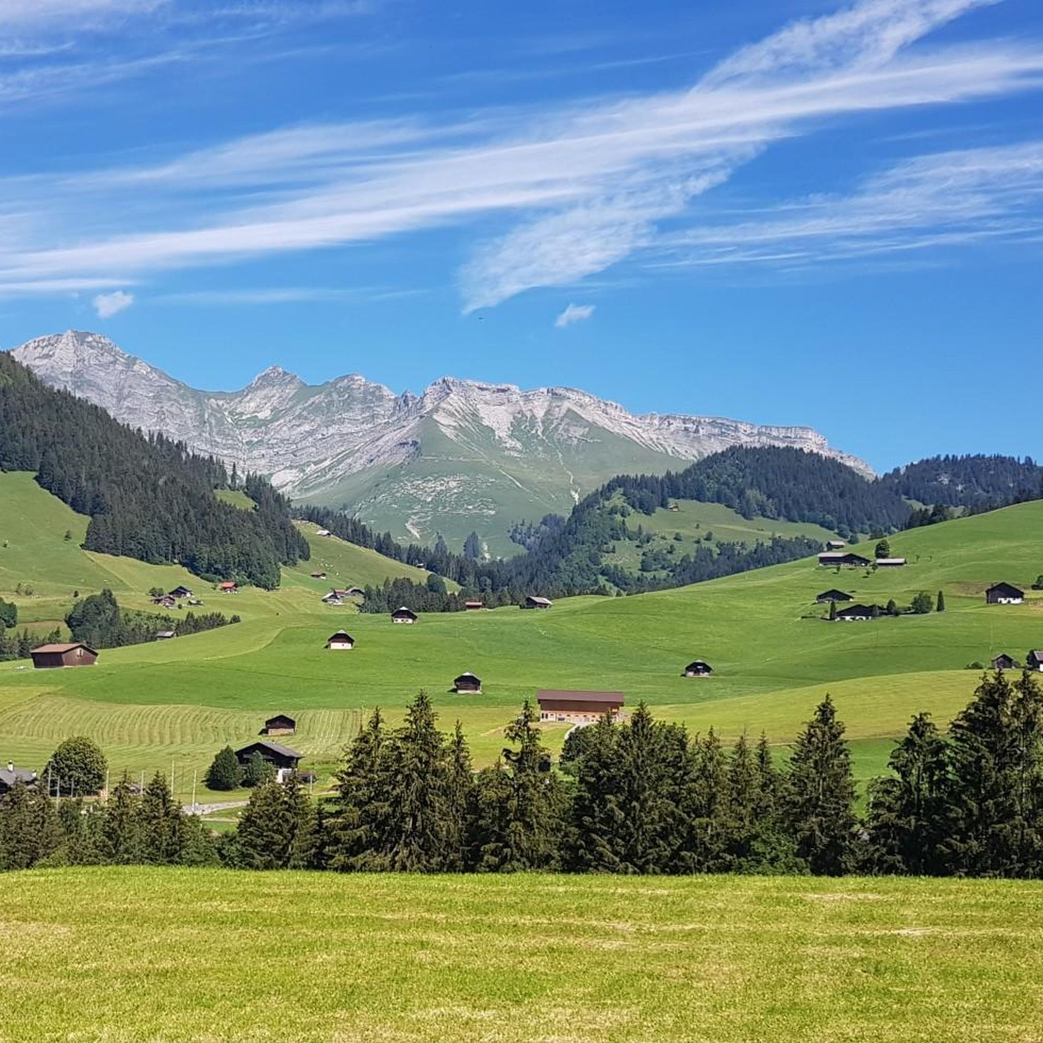
Mountaineering around Rougemont, nestled in the Vaudois Alps, offers diverse alpine landscapes for climbers. The region is characterized by impressive chalk flanks, such as those of Le Rubli, extending above dark green pine forests. It features varied sections in alpine terrain, including challenging via ferratas and demanding ascents. These routes provide opportunities to experience the rugged beauty of the Swiss Alps.
Best mountaineering routes around Rougemont
- The most popular mountaineering route is Sattelspitzen – Chalet du Grat loop from Buvette…
Last updated: October 14, 2026
15
hikers
9.11km
03:27
440m
440m
Moderate mountaineering route. Good fitness required. Mostly accessible paths. Sure-footedness required.
8
hikers
1.74km
01:12
130m
130m
Hard mountaineering route. Great for any fitness level. Sure-footedness, sturdy shoes and alpine experience required.

5.0
(1)
8
hikers
9.54km
04:19
730m
730m
Hard mountaineering route. Good fitness required. Sure-footedness, sturdy shoes and alpine experience required.
4.0
(1)
6
hikers
15.4km
07:38
1,300m
1,300m
Hard mountaineering route. Very good fitness required. Sure-footedness, sturdy shoes and alpine experience required.
5.0
(2)
6
hikers
10.9km
03:18
330m
320m
Moderate mountaineering route. Good fitness required. Mostly accessible paths. Sure-footedness required.
Our route recommendations are based on thousands of hikes, rides, and runs completed by other people on komoot.



Tips from the Community

The striking rocky summit of Le Rubli (2,285 m above sea level) above the La Videmanette mountain station near Rougemont is an absolute Eldorado for mountain enthusiasts and via ferrata fans in the Pays-d'Enhaut! 🧗♂️🏔️ The chalk-white rock faces rise spectacularly above the high valley, offering three different via ferratas (Via Ferrata Voie 1, 2, and 3) with varying degrees of difficulty – from sporty and achievable to extremely airy and demanding. Pro-Tip: Take the mountain railway from Rougemont up to La Videmanette – an ideal starting point! 🚠✨ Those who climb the summit of Le Rubli will be rewarded with a fantastic panoramic view of the Vaudois and Bernese Alps 📸🌄 Don't forget your via ferrata set (equipment can be rented in the valley) and enjoy a cool drink on the sunny terrace of the mountain station after your descent! ☕🧀
0
0
The Wasserngrat is a striking vantage point above Gstaad, known for its breathtaking 360° views over the Saanenland, the Vaud Alps, the Wildstrubel, and far into Valais 🌄👀. A quiet ridge with an alpine character – ideal for hikers who want to venture off the beaten track. Its easy accessibility by cable car also makes it the perfect starting point for alpine tours (e.g., Wändliflueh, Lauenenhore, Giferspitz). Highlights: ✅ Pure panoramas in all directions ✅ Beautiful spot for sunrise or sunset 🌅 ✅ Introduction to exciting ridge hikes ✅ Wild, secluded, and rarely visited, away from the cable car station
0
0
The ridge path offers a secluded, panoramic high-altitude hike between Wasserngrat and Lauenenhore. The trail runs along a partly grassy, partly rocky ridge with magnificent views of the Saanenland, the Wildstrubel, the Wildhorn, and, on a clear day, even Mont Blanc. Characteristics: 🔸 Difficulty: T2, in places T3 🔸 Narrow, exposed, and partly unmarked 🔸 Only for sure-footed and experienced hikers with a head for heights Highlights: ✅ Spectacular views down towards Lauenen & Gstaad ✅ Wild, rarely used trail – truly peaceful mountain scenery ✅ Exciting crossing to Lauenenhore or further to Giferspitz possible Access: 🚠 Take the Wasserngrat cable car to the mountain station, then follow the ridge. Follow the trail Return via Matten–Lauenen or descent via alpine huts to Gstaad.
0
0

A light-filled sun terrace at the La Videmanette mountain restaurant and alpine views of the Gstaad Dolomites: everything your heart desires when you've reached this high altitude.
1
0

Between the Cheval Blanche and the Hochmatt, this beautiful ridge path with the best panorama leads into the Bulle plain and into the Alps.
0
0

La Cabane de La Videmanette is an unguarded refuge, open only to club members, flanked by the mountain. It is the starting point of the Via Ferrata at Rubli. There is a fountain 50m east of the cabin, on the way to the restaurant.
0
0

The Téléski de la Videmanette takes you from the village of Rougemont to the summit of La Videmanette at 2151 meters above sea level. From there, you can enjoy a panoramic view of the Bernese Alps The Téléski de la Videmanette is a great option for hikers who want to experience the thrill and beauty of the Swiss mountains. You can find more information about the Téléski de la Videmanette on its website, where you can also check the opening hours and prices of the cable cars. The general season for the ski lift is from mid June to early October, and the opening times are from 09:00 to 16:30. However, these may vary depending on the weather and other factors, so it is advisable to check the website before planning your trip.
2
0

Frequently Asked Questions
How many mountaineering routes are available around Rougemont?
There are 8 dedicated mountaineering routes around Rougemont listed on komoot. The majority of these, 7 to be exact, are rated as difficult, offering significant challenges and rewarding alpine experiences. There is also 1 moderate route available.
What kind of terrain and landscapes can I expect on mountaineering routes in Rougemont?
Mountaineering around Rougemont, nestled in the Vaudois Alps, features diverse alpine landscapes. You'll encounter impressive chalk flanks, such as those of Le Rubli, extending above dark green pine forests. The region offers varied sections in alpine terrain, including challenging via ferratas and demanding ascents, providing opportunities to experience the rugged beauty of the Swiss Alps.
Are there any family-friendly or easier mountaineering options in Rougemont?
While most mountaineering routes in Rougemont are rated as difficult, there is one moderate route available. For families or those seeking less strenuous options, the broader region offers extensive networks of hiking trails. It's always recommended to check the specific route details for suitability.
What are some of the most challenging mountaineering routes in the area?
For experienced mountaineers seeking a challenge, the Bounavaux Hut – Tête de l'Herbette loop from Gruyère Pays-d'Enhaut Regional Nature Park is a difficult 9.6 km path with over 1000 meters of ascent through high alpine terrain. Another demanding option is the Lauenenhore loop from Gstaad, which spans 15.4 km with over 1300 meters of elevation gain.
Are there any circular mountaineering routes around Rougemont?
Yes, several routes are designed as loops. For example, the Sattelspitzen – Chalet du Grat loop from Buvette des Sattels is an 8.6-mile (13.8 km) difficult trail. Another option is the Le Rubli loop from Le Rubli, a 1.7 km route that often involves technical sections or via ferratas.
What kind of natural features or landmarks can I see along the mountaineering routes?
The routes offer stunning alpine scenery, including the impressive chalk flanks of Le Rubli. You might also encounter beautiful natural attractions like Lauenensee (Lake Lauenen) or Lac Lioson. The region is also known for its waterfalls, such as the Ramaclé Waterfall and Jaun Waterfall, which can be explored in the wider area.
What do other mountaineers enjoy most about the routes in Rougemont?
The mountaineering routes in Rougemont are highly rated by the komoot community, with an average score of 4.8 stars from more than 20 reviews. Mountaineers often praise the challenging alpine terrain, the spectacular views from summits like Le Rubli, and the unique experience of traversing via ferratas.
What is the best time of year for mountaineering in Rougemont?
The Swiss Alps, where Rougemont is located, are generally best for mountaineering during the warmer months, typically from late spring to early autumn (June to September), when trails are clear of snow and weather conditions are more stable. However, the region is a popular year-round resort, offering winter activities like snowshoeing and cross-country skiing, which require different gear and expertise.
Are there any specific highlights or points of interest near the mountaineering trails?
Beyond the natural beauty, you can find interesting points of interest such as the Wispile Mountain Lodge or the Chalet du Soldat, which can serve as rest stops or viewpoints. The village of Rougemont itself is rich in cultural heritage, featuring old, decorated chalets and an 11th-century Romanesque church.
Is public transport available to access mountaineering trailheads in Rougemont?
Rougemont is well-connected within the Swiss public transport network, making it generally accessible. While specific trailhead access points vary, Switzerland's integrated public transport system often provides good connections to mountain regions. It's advisable to check local bus or train schedules for the specific starting point of your chosen route.
Are there any other challenging mountaineering routes besides the popular ones?
Yes, for those looking for additional challenging experiences, the Mountaineering loop from Schänis is another difficult route, covering 9.7 km with over 730 meters of elevation gain, offering a robust alpine adventure.
Most popular routes around Rougemont
Most popular attractions around Rougemont

Get inspired with the komoot mobile app


Explore more
Browse the best Mountain Hikes & Routes in other regions.
