The best walks and hikes around Villers-Lès-Moivrons
4.6
(206)
1,022
hikers
169
hikes
Hiking around Villers-Lès-Moivrons offers diverse natural features within France's Grand Est region. The area is characterized by verdant forests, including those within the Lorraine Regional Natural Park, and is traversed by rivers such as the Ruisseau de Chanteraine and Ruisseau le Molney. Hikers can explore varied terrain, from valleys like the Seille and Natagne to plateaus and hills providing panoramic views of the Lorraine countryside. The region features well-maintained trails suitable for various outdoor activities.
Best hiking trails around Villers-Lès-Moivrons
…Last updated: August 29, 2026
4.0
(4)
12
hikers
6.11km
01:49
190m
190m
Easy hike. Great for any fitness level. Easily-accessible paths. Suitable for all skill levels.
4.8
(5)
13
hikers
Hard hike. Very good fitness required. Easily-accessible paths. Suitable for all skill levels.

Sign up for free
4.0
(2)
13
hikers
12.0km
03:26
270m
270m
Moderate hike. Good fitness required. Easily-accessible paths. Suitable for all skill levels.
5.0
(1)
15
hikers
10.1km
02:37
70m
70m
Moderate hike. Good fitness required. Easily-accessible paths. Suitable for all skill levels.
5.0
(1)
10
hikers
12.9km
03:41
290m
290m
Moderate hike. Good fitness required. Easily-accessible paths. Suitable for all skill levels.
Get access to more routes and recommendations from other explorers.
Sign up for free
Already have an account?
Our route recommendations are based on thousands of hikes, rides, and runs completed by other people on komoot.
Start today with a free account
Your next adventure awaits.
Login or Signup
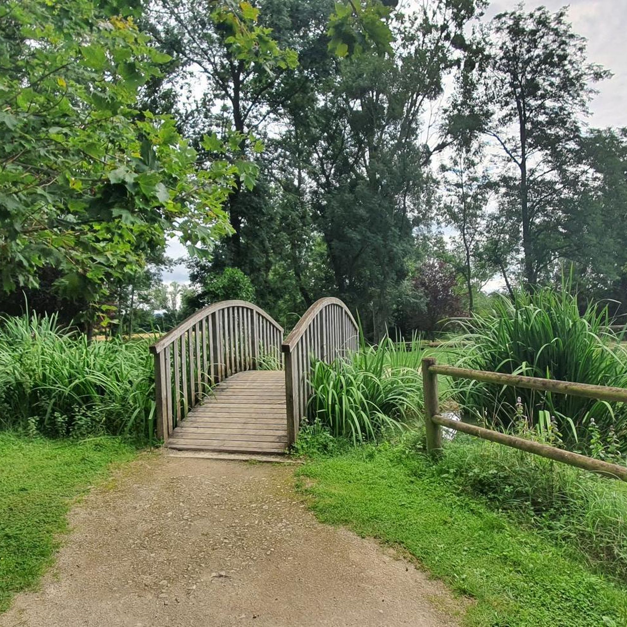
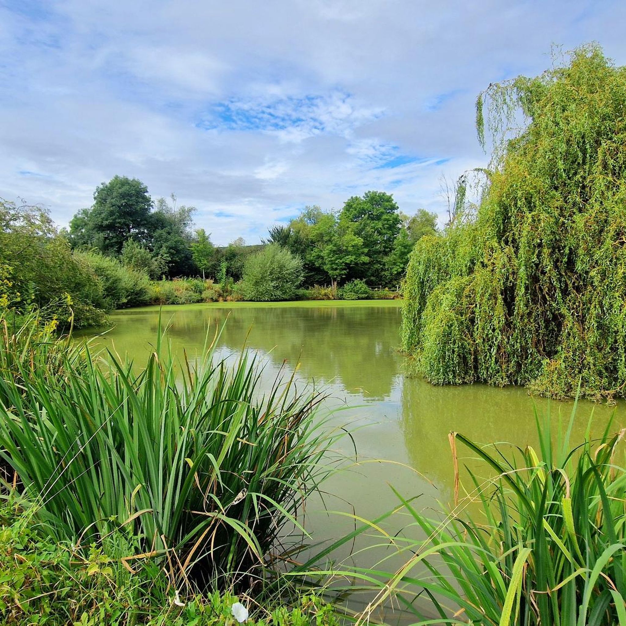
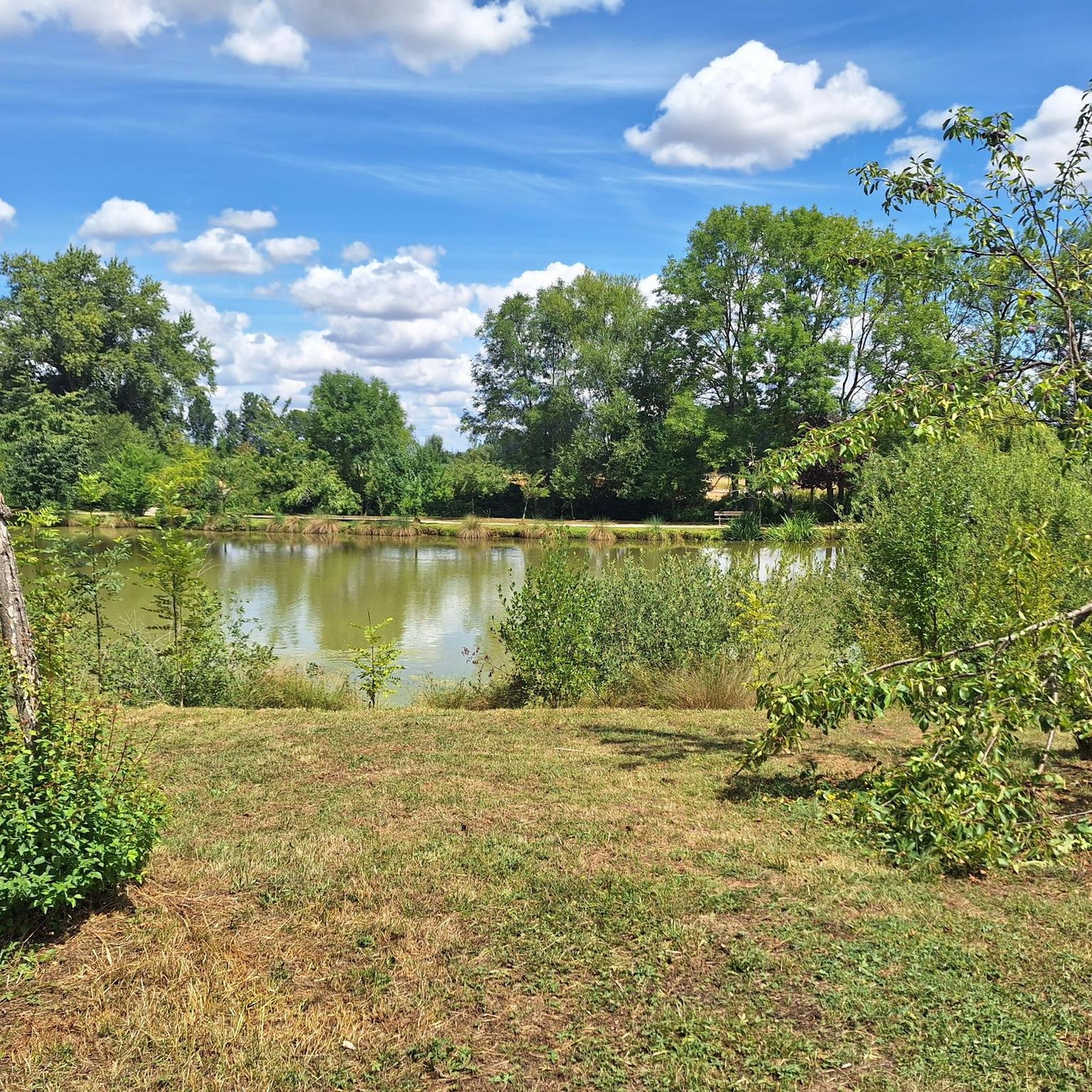


Tips from the Community

This old road, which already appears on the Cassini map (1760), is part of a network of rolling paths which allow you to cross the Bois de Faux plateau and reach all the villages.
0
0

Very beautiful village with a huge tree in front of the church and a great view over the countryside.
1
0

Amance is a small village built around a hill on which a castle was once built. From now on, the bare hill offers a generous view of the neighboring valleys. On either side of the village, the small and large Mont d'Amance (385 and 407 meters above sea level) enjoy equally pleasant views.
3
0


Amance is a beautiful village built on top of a hill. It offers a pretty unique point of view on the surrounding plains. This village was a medievial fortress and some houses showcase pieces of history with their doors topped with gothic stones from the XIIIth century. The gigantic Lebanese cedar in front of the church also deserves to be seen. There are 3 climbs to get to Amance : one from Bouxières-aux-Chênes, one from Laître-sous-Amance, one from the SPA (the easiest one). The highest point is at « the antenna », at 405 m.
3
0

A place of calm and strength.
1
0
Just let it work. A place of rest.
0
0
The Kruft made us very happy. Everything is still in very original condition.
0
0
Frequently Asked Questions
How many hiking trails are available around Villers-Lès-Moivrons?
There are over 140 hiking trails around Villers-Lès-Moivrons, catering to various skill levels. This includes 44 easy routes, 97 moderate routes, and 2 more challenging options.
What kind of landscapes can I expect to see while hiking in this region?
The region around Villers-Lès-Moivrons is characterized by lush forests, including those within the Lorraine Regional Natural Park, and is crisscrossed by rivers like the Ruisseau de Chanteraine and Ruisseau le Molney. You'll find varied terrain, from serene valleys such as the Seille and Natagne to plateaus and hills offering panoramic views of the Lorraine countryside. Specific routes provide stunning vistas of the Seille and Natagne valleys from the limestone grasslands of Mont Saint-Jean and Bois de la Dame.
Are there any family-friendly hiking options?
Yes, many trails are suitable for families. For an easy and enjoyable outing, consider the Amance – Chapelle d'Amance loop from Bouxières-aux-Chênes, which is 6.1 km long and explores local forests and countryside. The "Parcours autour de Villers-lès-Moivrons" also offers marked trails with varying difficulty levels, suitable for families.
Can I bring my dog on the hiking trails?
The trails in the Villers-Lès-Moivrons area are generally welcoming to dogs, especially given the natural forest and valley environments. However, it's always recommended to keep your dog on a leash, especially in areas where wildlife might be present or near agricultural land, and to check specific trail regulations if posted.
What are some notable natural attractions or landmarks to look out for?
Hikers can discover the valleys of the Seille, Natagne, Moselle, and Mauchère. You might also encounter the Sainte-Agathe Chapel along some routes. The area is part of the Lorraine Regional Natural Park, known for its biodiversity. For a unique natural sight, the Confluence of the Moselle and Meurthe rivers is also nearby.
Are there any circular walks available?
Yes, many routes in the area are circular. For example, the Col de Vassuchamp loop from Montenoy is a moderate 12.0 km trail. Another option is the Blanzey Church – Sainte-Agathe Chapel loop from Bouxières-aux-Chênes, a moderate 10.6 km route.
What is the best time of year to go hiking in Villers-Lès-Moivrons?
The region's lush green landscapes and deciduous forests make spring, summer, and autumn particularly appealing. Spring brings blooming flora, summer offers warm weather for longer days on the trails, and autumn provides stunning foliage. Even winter can be beautiful for hiking, especially if you enjoy crisp air and quiet, snow-dusted landscapes.
What do other hikers enjoy most about the trails in Villers-Lès-Moivrons?
The area is highly rated by the komoot community, with an average score of 4.6 stars from over 160 reviews. Reviewers often praise the diverse natural features, from verdant forests and river valleys to panoramic hill views, and the well-maintained trails suitable for various activities.
Are there opportunities for wildlife observation?
Yes, the forests around Villers-Lès-Moivrons are home to various wildlife, including roe deer and deer. The pond of Brin, within the national forest of Amance, is a good spot for birdwatching, with potential sightings of gray herons. Some routes near the former ULM aeroclub might even offer unexpected sightings of animals like llamas and mouflons.
Are there any challenging hikes for experienced adventurers?
For experienced hikers seeking a challenge, the Unobstructed view through the forest – Blanzey Church loop from Villers-lès-Moivrons is a difficult 19.4 km path offering extensive forest exploration and significant elevation gain. The long-distance GR5 trail, which traverses the Lorraine Regional Natural Park, is also accessible for seasoned hikers.
Is there public transport available to reach the hiking areas?
While specific public transport details for reaching trailheads directly from Villers-Lès-Moivrons are limited, the area is part of the Grand Est region. For detailed information on bus routes and connections to nearby towns, it is advisable to consult local transport authorities or regional public transport websites.
Where can I find parking for the hiking trails?
Many trailheads in the Villers-Lès-Moivrons area, especially those originating from or passing through villages, typically offer designated parking areas. The "Parcours autour de Villers-lès-Moivrons" trails, for instance, are designed with accessibility in mind, suggesting parking facilities are available at common starting points.
Most popular routes around Villers-Lès-Moivrons
Most popular attractions around Villers-Lès-Moivrons

Get inspired with the komoot mobile app


Explore more
Browse the best Hikes in other regions.
