The best running trails around Espès-Undurein
3.1
(7)
557
runners
54
runs
Jogging around Espès-Undurein offers access to the varied terrain of the Pyrénées-Atlantiques department in France. The region is characterized by its rural setting, with undulating hills ranging from 105 to 233 meters in elevation within the commune. The Saison River, a waterway of good quality, drains the area, providing potential for routes along its banks and tributaries. This natural environment provides diverse running routes for different fitness levels.
Best jogging routes around Espès-Undurein
- The most popular jogging route is Mauléon-Licharre…
Last updated: June 28, 2026
1.0
(1)
19
runners
11.9km
01:30
400m
390m
Hard run. Very good fitness required. Mostly paved surfaces. Suitable for all skill levels.
13
runners
11.1km
01:14
280m
280m
Moderate run. Good fitness required. Mostly paved surfaces. Suitable for all skill levels.

Sign up for free
10
runners
19.5km
02:03
100m
100m
Hard run. Very good fitness required. Mostly paved surfaces. Suitable for all skill levels.
11
runners
18.5km
02:14
570m
570m
Hard run. Very good fitness required. Mostly paved surfaces. Suitable for all skill levels.
7
runners
17.2km
01:49
80m
80m
Hard run. Very good fitness required. Mostly paved surfaces. Suitable for all skill levels.
Get access to more routes and recommendations from other explorers.
Sign up for free
Already have an account?
Our route recommendations are based on thousands of hikes, rides, and runs completed by other people on komoot.
Start today with a free account
Your next adventure awaits.
Login or Signup
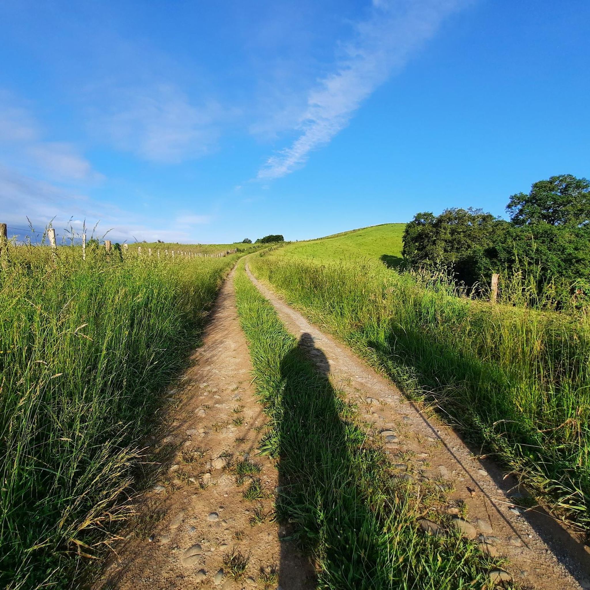
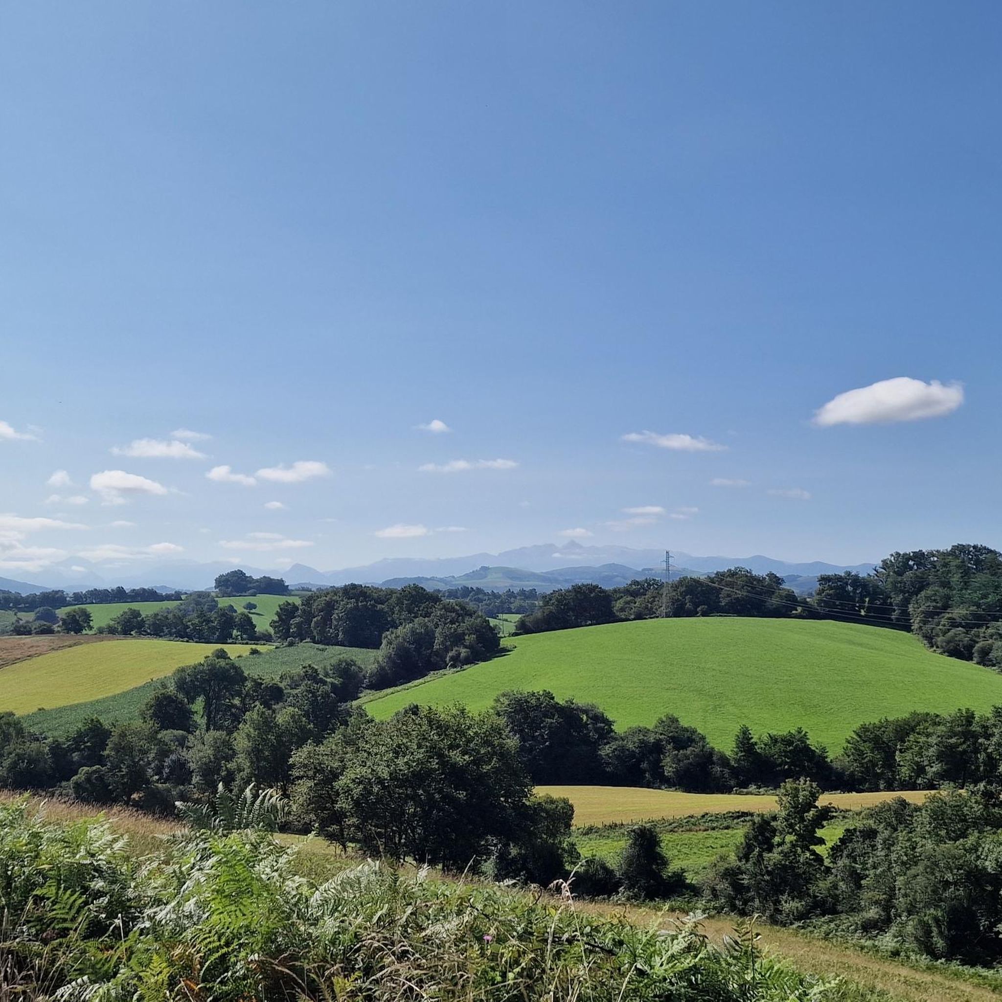
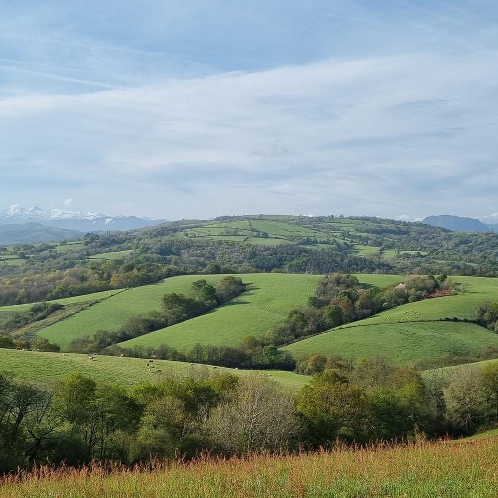
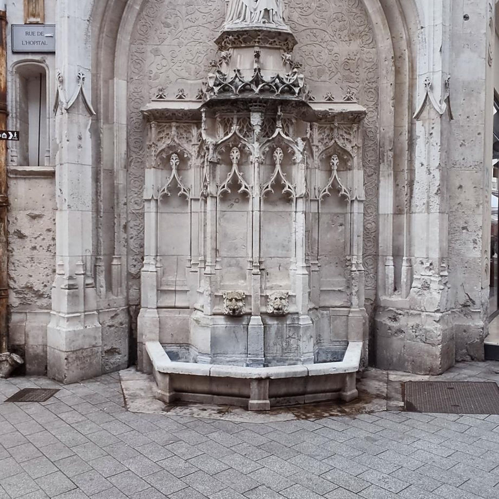
Tips from the Community

An authentic Basque village, Mauléon-Licharre is considered the capital of espadrille. It is also that of the small province of the Basque Country, Soule. The heights of its old town are separated from the lower town by the course of the Saison. In this part we find the Andurain de Maytie castle.
1
0
Authentic Basque village, Mauléon-Licharre is considered the capital of the espadrille. It is also that of the small province of the Basque Country, Soule. The heights of its old town are separated from the lower town by the course of the Season. We find in this part the castle of Andurain de Maytie.
0
0
Frequently Asked Questions
How many running routes are available in Espès-Undurein?
There are over 50 running routes around Espès-Undurein, offering a wide variety of options for different fitness levels and preferences. The komoot community has explored 52 routes in total.
Are there easy running routes suitable for beginners or families?
Yes, Espès-Undurein offers 5 easy running routes perfect for beginners or families looking for a gentle jog. These paths typically feature less significant elevation changes, allowing for a more relaxed experience amidst the rural scenery.
What kind of terrain can I expect on the jogging trails around Espès-Undurein?
The terrain around Espès-Undurein is quite varied, characteristic of the Pyrénées-Atlantiques department. You can expect undulating hills, with elevations ranging from 105 to 233 meters within the commune. Many routes also offer riverine scenery along the Saison River and its tributaries, providing a mix of gentle slopes and more challenging ascents.
Are there any circular running routes in the area?
Yes, many of the running routes in Espès-Undurein are circular, allowing you to start and finish at the same point. For example, the Karakoila loop from Mauléon-Licharre is a popular moderate circular path that offers varied terrain and scenic views.
Can I bring my dog on the running trails in Espès-Undurein?
While specific regulations for each trail vary, the rural and natural setting of Espès-Undurein generally makes it a welcoming area for dog owners. Most trails traversing natural landscapes and quiet country roads are suitable for running with dogs, provided they are kept under control. Always ensure to respect local signage and wildlife.
What are some scenic viewpoints or landmarks I can see while running?
The region offers beautiful natural scenery with rolling green hillsides, farms, and pastures. For those interested in combining their run with cultural exploration, nearby attractions include the historic town of Mauléon-Licharre or the impressive Church of L'Hôpital-Saint-Blaise, which could serve as scenic destinations or starting points for longer runs.
Are there longer, more challenging running routes for experienced runners?
Absolutely. For experienced runners seeking a greater challenge, Espès-Undurein offers 16 difficult routes. An example is the Château fort de Mauléon loop from Chéraute, which covers over 18 kilometers and features significant elevation gains, providing a demanding and rewarding experience.
How accessible are the running routes by public transport or car parking?
Espès-Undurein is a rural commune, so public transport options might be limited. However, many routes, especially those starting from nearby towns like Mauléon-Licharre, typically have accessible parking areas. It's advisable to check the starting point of your chosen route for specific parking information.
What do other runners say about the trails in Espès-Undurein?
The running routes in Espès-Undurein are highly rated by the komoot community, with an average score of 3.8 stars from over 4 reviews. Runners often praise the varied terrain, the peaceful rural landscapes, and the opportunities to explore the natural beauty of the Pyrénées-Atlantiques.
Are there any running routes that follow the Saison River?
Yes, the Saison River, a waterway of very good quality, drains the area and is part of a Natura 2000 ecological network site. While specific routes directly along its banks aren't detailed, the presence of the river and its tributaries suggests opportunities for pleasant, relatively flat runs with the soothing presence of flowing water and riparian ecosystems.
What is the best time of year to go running in Espès-Undurein?
The natural beauty of Espès-Undurein makes it suitable for running throughout much of the year. Spring and autumn offer pleasant temperatures and vibrant scenery. Summer can be warm, so early morning or late evening runs are ideal. Winter running is also possible, though some higher elevation paths might require more appropriate gear.
Can you recommend a moderate running route with varied terrain?
A great moderate option is the Running loop from Viodos. This 10.6 km trail leads through peaceful countryside and offers a balanced running experience with varied terrain, typically completed in about 1 hour and 6 minutes.
What is the typical elevation gain on running routes in this region?
Given its location in the Montagne Basque canton, the region features varied elevations. Within Espès-Undurein itself, elevations range from 105 to 233 meters. Many routes, even moderate ones, can have significant elevation gains; for instance, the Mauléon-Licharre – Mauléon-Licharre loop has an elevation gain of over 270 meters.
Most popular attractions around Espès-Undurein

Get inspired with the komoot mobile app


Explore more
Browse the best Running Trails & Routes in other regions.
