The best walks and hikes around Saint-Paul-De-Jarrat
4.5
(1007)
7,642
hikers
242
hikes
Hiking around Saint-Paul-De-Jarrat offers diverse landscapes within the Pyrénées Ariégeoises Regional Natural Park in France. The region is characterized by its mountainous backdrop, featuring peaks like Le Mont Fourcat and Lauzate Peak, and dramatic terrain. River valleys, including those of the Ariège and Arget, contribute to picturesque routes, while dense forests provide shaded trails. This area provides a rich environment for outdoor activities, from gentle walks to challenging ascents.
Best hiking trails around Saint-Paul-De-Jarrat
- The most popular hiking route is Le Mont Fourcat - hike starting from the Brougues car park, a 7.0 miles (11.3 km) trail that takes 4 hours 49 minutes to complete. This moderate route offers views of the Pyrenean chain from a notable peak.
- Another top favourite among local hikers is Cascade loop from Prayols, a moderate 4.7 miles (7.6 km) path. This trail features scenic water elements and takes approximately 2 hours 42 minutes.
- Local hikers also love the Cascade loop from Montoulieu, an 8.9 miles (14.4 km) trail leading through varied terrain, often completed in about 4 hours 26 minutes.
- Hiking around Saint-Paul-De-Jarrat is defined by Pyrenean mountain peaks, river valleys, and dense woodlands. The extensive network offers options for different ability levels, from easy walks to more challenging treks.
- The routes in Saint-Paul-De-Jarrat are highly rated by the komoot community with an average score of 4.5 stars from over 900 reviews. More than 7000 hikers have used komoot to explore Saint-Paul-De-Jarrat's varied terrain.
Last updated: July 4, 2026
4.7
(27)
476
hikers
11.3km
04:50
750m
750m
Moderate hike. Good fitness required. Mostly accessible paths. Sure-footedness required.
4.7
(33)
187
hikers
7.72km
02:44
460m
460m
Moderate hike. Good fitness required. Easily-accessible paths. Suitable for all skill levels.

Sign up for free
4.7
(21)
129
hikers
14.4km
04:26
510m
510m
Moderate hike. Good fitness required. Easily-accessible paths. Suitable for all skill levels.
4.6
(27)
109
hikers
10.4km
03:29
480m
480m
Moderate hike. Good fitness required. Mostly accessible paths. Sure-footedness required.
4.5
(4)
109
hikers
9.68km
04:42
820m
820m
Moderate hike. Good fitness required. Mostly accessible paths. Sure-footedness required.
Get access to more routes and recommendations from other explorers.
Sign up for free
Already have an account?
Our route recommendations are based on thousands of hikes, rides, and runs completed by other people on komoot.
Start today with a free account
Your next adventure awaits.
Login or Signup


Tips from the Community

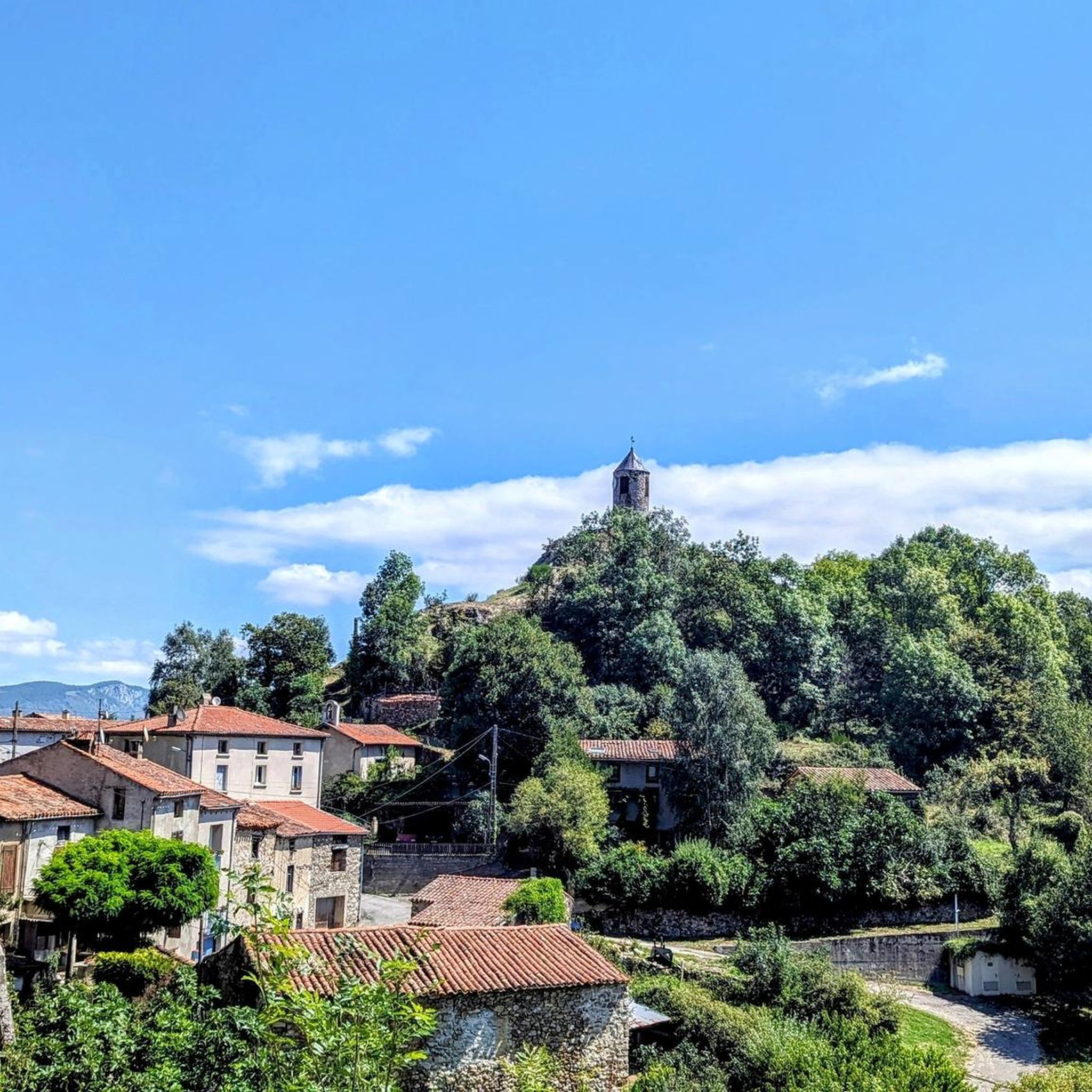
A magnificent location offering stunning views of the Ariège Pyrenees: the Montcalm Massif, the Bassiès Massif, the Beille Plateau, and more. Easily accessible from Croquié in both summer and winter, provided you're well-equipped and at least a little fit (800m+). Its only drawback: it's very crowded, especially in winter.
0
0

Possibility of bivouac and magnificent natural spectacle by numerous griffon vultures
1
1


The small town of Montgailhard is located south of Foix and makes a good place to end your first leg. The town has a campsite along the Amenée Canal.
2
0

road and track courses for mountain biking and gravel!
0
0

Popular hike. Constant and easy climb
0
0

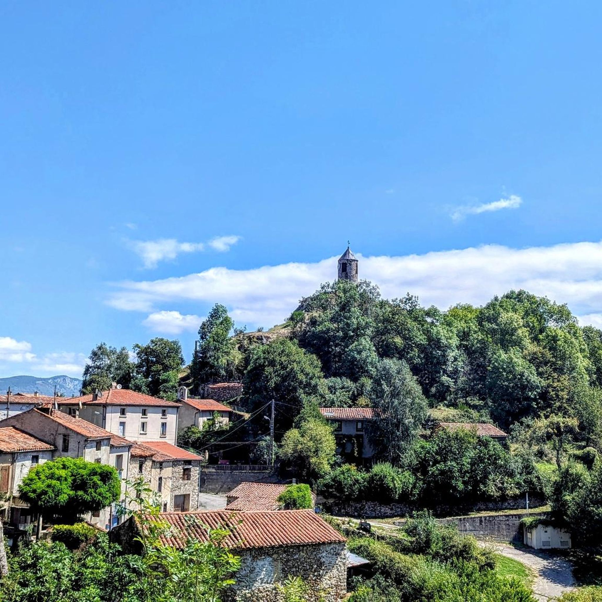
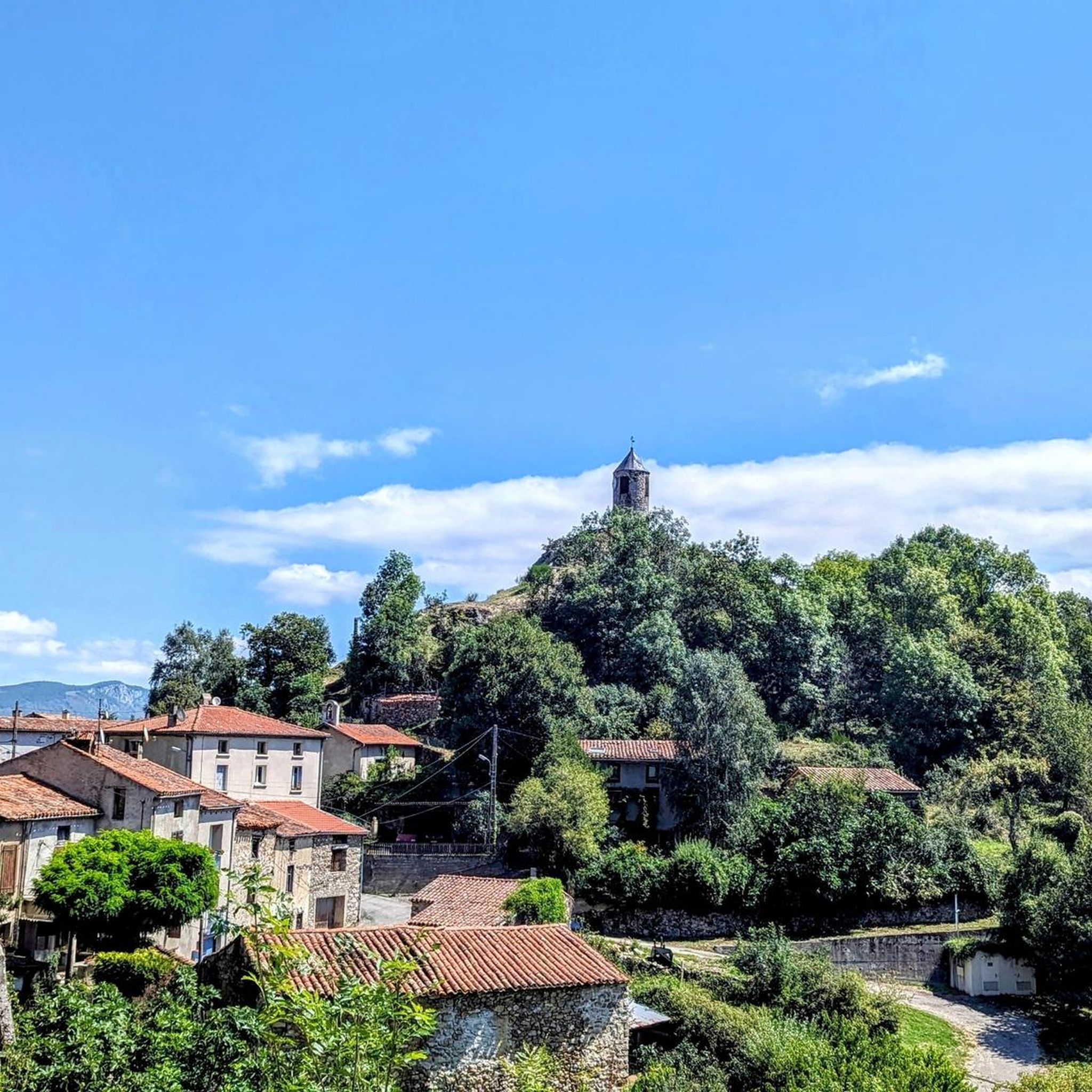
Imposing church for the place.
2
0
Frequently Asked Questions
How many hiking trails are available in Saint-Paul-De-Jarrat?
There are over 240 hiking routes around Saint-Paul-De-Jarrat. This includes 60 easy trails, 133 moderate routes, and 53 difficult treks, offering options for all skill levels.
What kind of terrain can I expect on hikes around Saint-Paul-De-Jarrat?
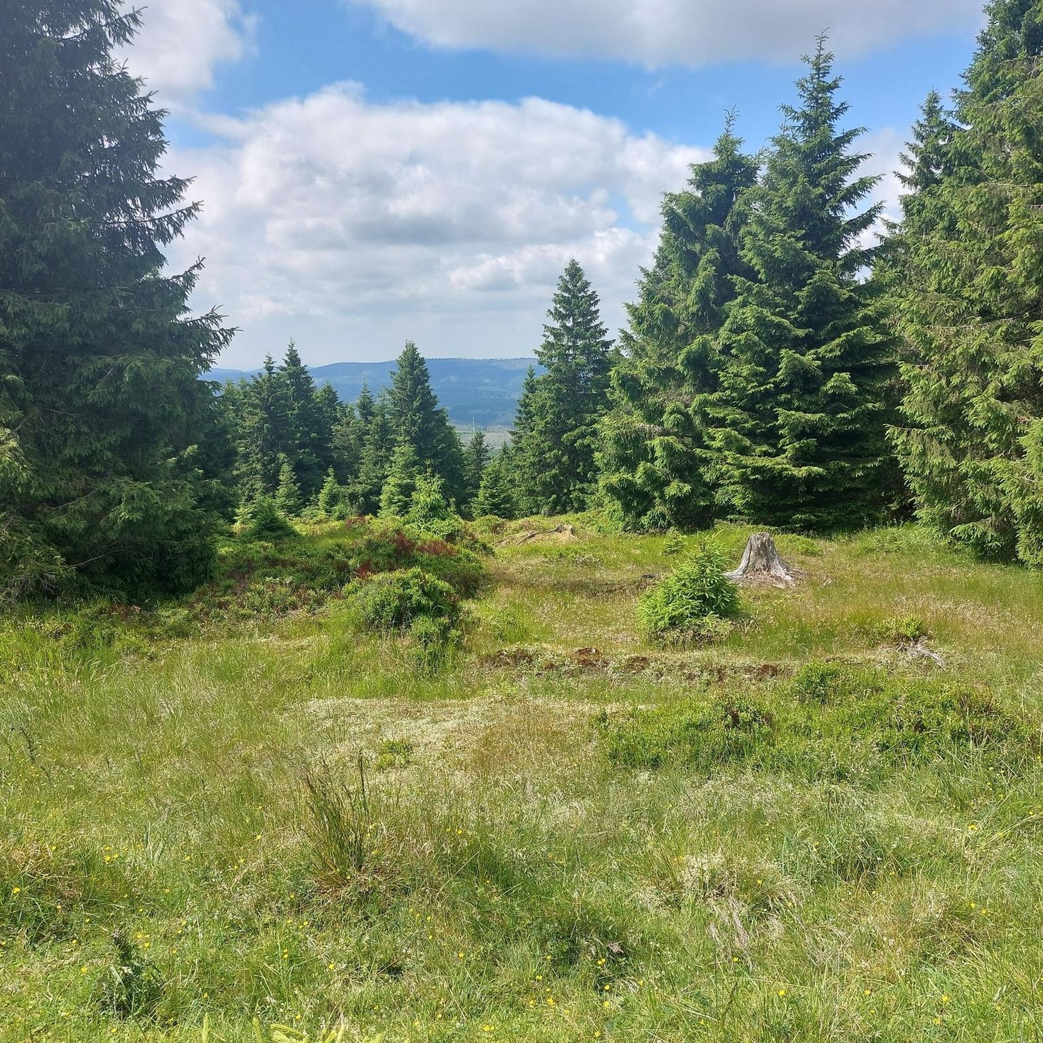
The region offers a diverse landscape, from picturesque river valleys carved by the Ariège and Arget rivers to dense forests providing shaded trails. You'll also encounter mountainous terrain with significant peaks like Mont Fourcat and Lauzate Peak, offering varied elevation gains and panoramic views.
Are there any hikes with waterfalls or interesting water features?
Yes, the area features several scenic water elements. You can explore routes like the Cascade loop from Prayols, which is a moderate 7.6 km path. Another option is the Cascade loop from Montoulieu, a longer 14.4 km trail. The region is also known for the enchanting "Cascades de la Piche" near Prayols and the unique tufa waterfall of Roquefort-les-Cascades further afield.
What are some notable viewpoints or landmarks to see while hiking?
Hikers can enjoy breathtaking panoramic views from peaks such as Mont Fourcat, which offers vistas of the entire Ariège Pyrenees chain. Other notable points include View of the Ariège Mountains from Clot de la Carbonnière and View of the summit of Crouzille. The area also boasts historical landmarks like the medieval Château de Foix and Roquefixade Castle, which provide expansive views.
Are there any circular hiking routes in the area?
Yes, many trails in Saint-Paul-De-Jarrat are designed as circular routes. For example, the Porte-Pa Pass – View loop from Montgailhard offers a moderate 10.4 km circuit. Another option is the Aaa – Lauzate Peak loop from Arnave, which is a challenging 9.7 km route with significant elevation.
What do other hikers say about the trails in Saint-Paul-De-Jarrat?
The hiking trails around Saint-Paul-De-Jarrat are highly rated by the komoot community, with an average score of 4.5 stars from over 900 reviews. More than 7,000 hikers have explored the varied terrain, often praising the stunning Pyrenean mountain views, the diverse landscapes, and the well-maintained paths.
Are there any easy hikes suitable for families?
While specific family-friendly routes are not detailed, the region offers 60 easy trails that are generally suitable for less experienced hikers or families. These often traverse river valleys and dense forests, providing a gentler experience away from the more challenging mountain ascents.
Can I bring my dog on the hiking trails?
The Regional Natural Park of the Ariège Pyrenees generally welcomes dogs, but it's always best to check specific trail regulations, especially concerning nature reserves or protected areas. Keeping dogs on a leash is usually recommended to protect wildlife and ensure a pleasant experience for all hikers.
What is the best time of year to go hiking in Saint-Paul-De-Jarrat?
The spring and autumn months typically offer the most pleasant hiking conditions with milder temperatures and vibrant natural scenery. Summer can be warm, especially at lower elevations, but higher mountain trails provide cooler air. Winter hiking is possible but requires appropriate gear and experience due to snow and ice conditions in the mountains.
Are there any unique natural features besides mountains and rivers?
Yes, the area is close to some remarkable subterranean wonders. The Grotte de Lombrives, reputedly the largest cave in Europe, and the subterranean river of Labouiche, Europe's longest navigable underground river, offer unique experiences that complement the surface hiking trails.
Is parking available at trailheads?
Many popular trailheads, such as the starting point for the Le Mont Fourcat - hike starting from the Brougues car park, offer designated parking areas. It's advisable to check specific route details for parking information, especially during peak seasons, as spaces can be limited.
Most popular routes around Saint-Paul-De-Jarrat
Most popular attractions around Saint-Paul-De-Jarrat

Get inspired with the komoot mobile app


Explore more
Browse the best Hikes in other regions.
