The best walks and hikes around Nozières
4.4
(336)
2,010
hikers
11
hikes
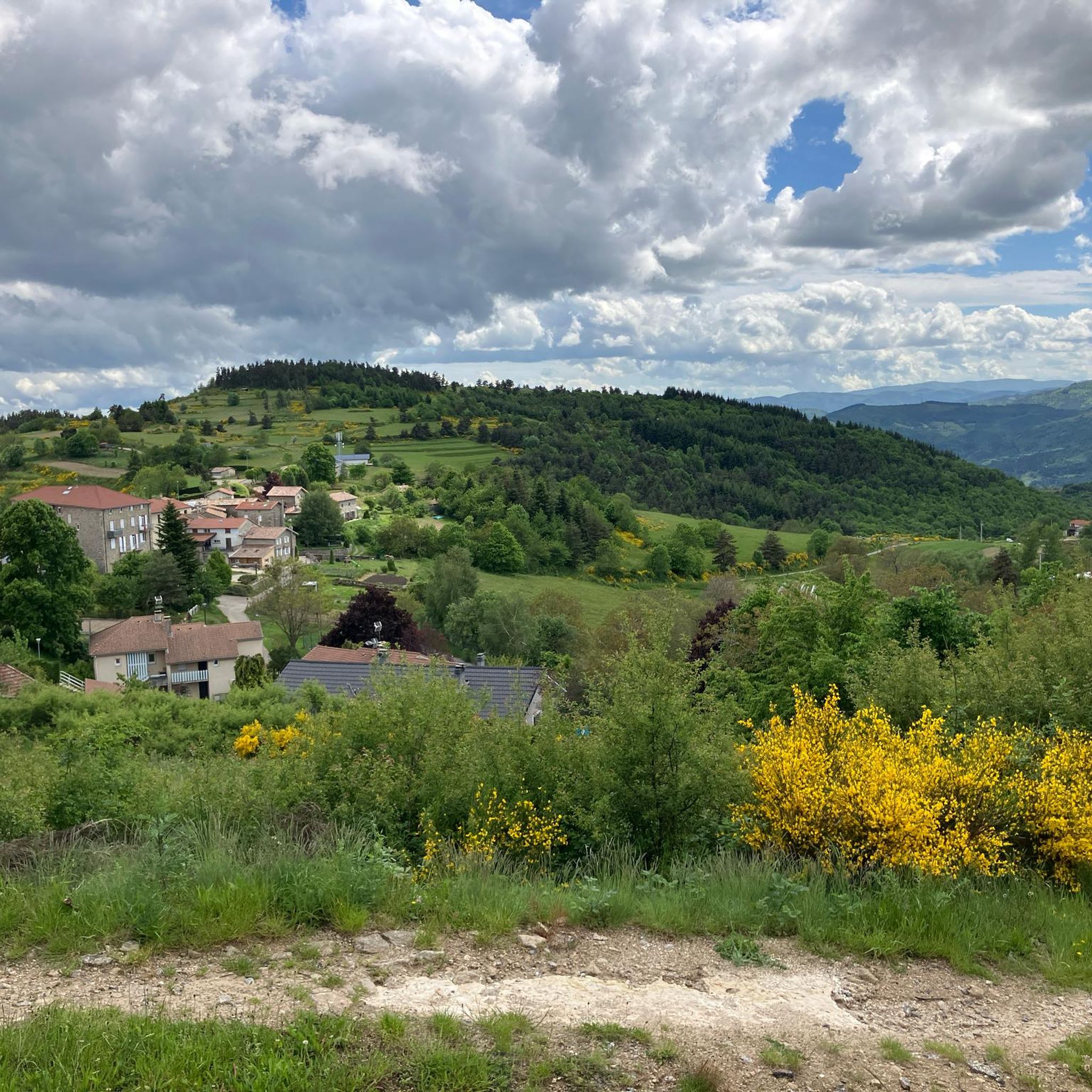
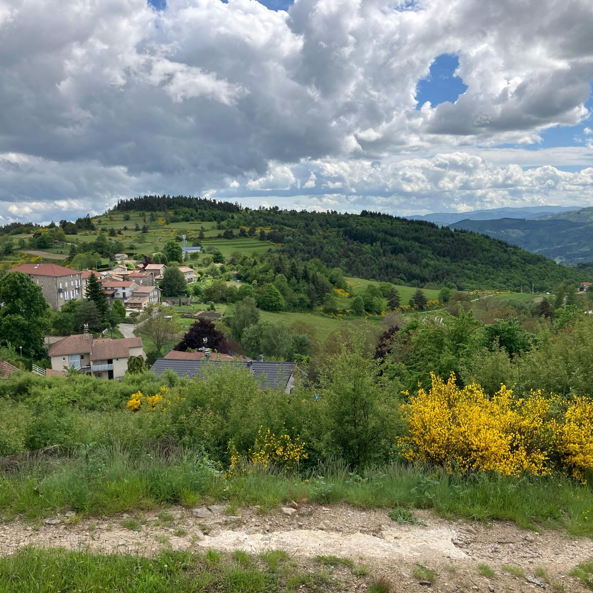
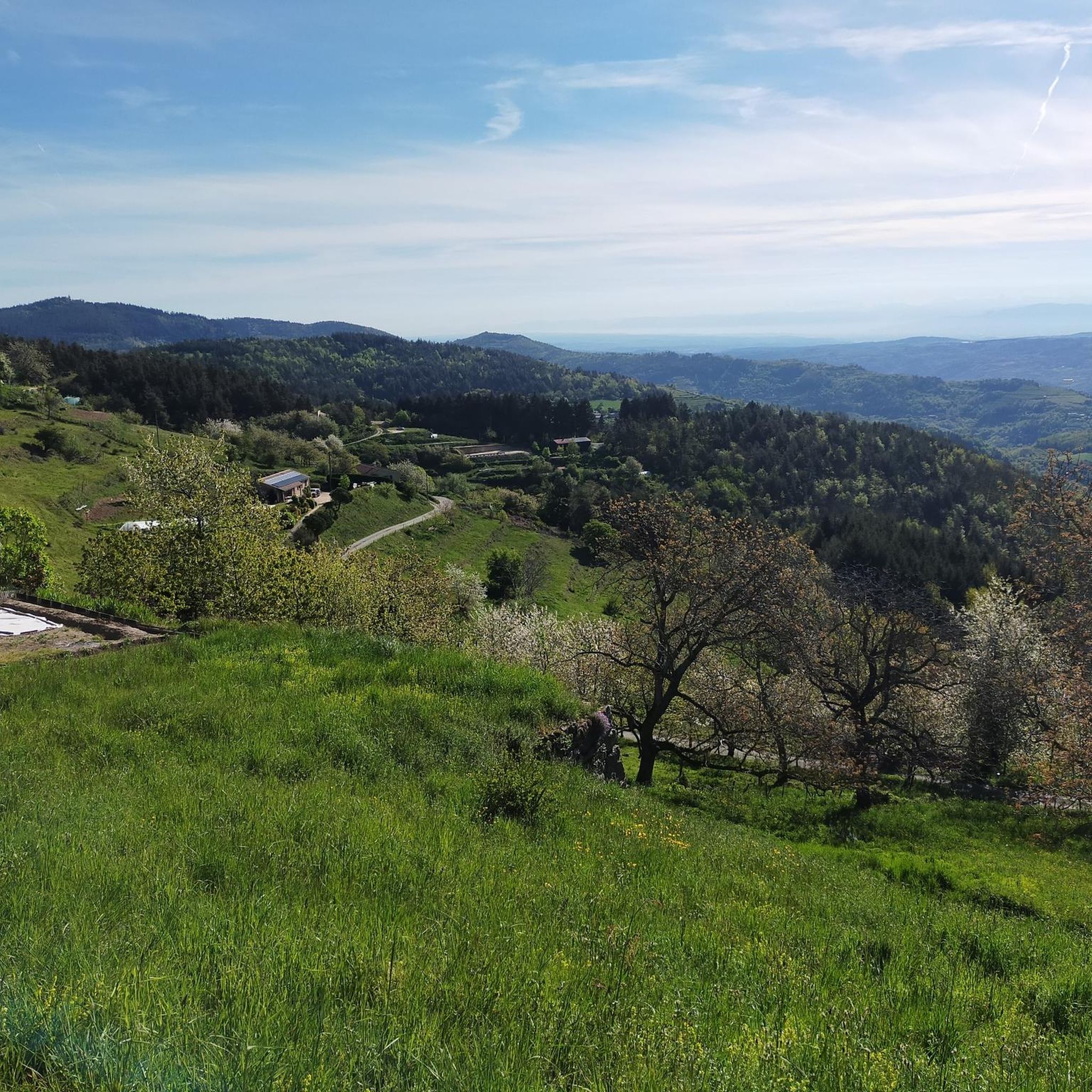
Hiking around Nozières offers diverse terrain in the Ardèche department of France, situated at an altitude of 920 meters. The landscape features panoramic views of the Alps, Mount Mézenc, and the Boutières massif. The region is characterized by wooded areas, river valleys like the Doux, and elevated plateaus, providing varied environments for outdoor activities.
Best hiking trails around Nozières
- The most popular hiking route is View of Nouzieres – Buisson Pass loop from Nozières, an 8.2 miles (13.1 km) trail that takes 3 hours 56 minutes to complete. This moderate route includes significant elevation gain and offers expansive views.
- Another top favourite among local hikers is Buisson Pass – Col du Buisson loop from Village Miniature, a moderate 8.0 miles (12.8 km) path. This trail explores the area around Col du Buisson, known for its scenic vistas.
- Local hikers also love the Old Lamastre train station – Path With a View of Lamastre loop from Lamastre, a 4.2 miles (6.8 km) trail leading through varied landscapes, often completed in about 2 hours 9 minutes.
- Hiking around Nozières is defined by elevated plateaus, river valleys, and panoramic viewpoints. The network offers options for different ability levels, from moderate walks to more challenging routes with significant elevation changes.
- The routes in Nozières are highly rated by the komoot community with an average score of 4.5 stars from over 280 reviews. More than 1,700 hikers have used komoot to explore Nozières's varied terrain.
Last updated: October 18, 2026
4.8
(11)
66
hikers
13.1km
03:57
420m
420m
Moderate hike. Good fitness required. Easily-accessible paths. Suitable for all skill levels.
4.8
(10)
58
hikers
12.8km
03:51
410m
410m
Moderate hike. Good fitness required. Easily-accessible paths. Suitable for all skill levels.

4.8
(6)
16
hikers
8.67km
02:29
210m
210m
Moderate hike. Good fitness required. Easily-accessible paths. Suitable for all skill levels.
5.0
(1)
12
hikers
7.41km
02:08
180m
180m
Moderate hike. Good fitness required. Easily-accessible paths. Suitable for all skill levels.
4.8
(4)
12
hikers
5.40km
01:33
140m
140m
Easy hike. Great for any fitness level. Easily-accessible paths. Suitable for all skill levels.
Get access to more routes and recommendations from other explorers.
Already have an account?
Our route recommendations are based on thousands of hikes, rides, and runs completed by other people on komoot.
Start today with a free account
Your next adventure awaits.

Tips from the Community

A confusing little tour when the wind and sun meet
0
0

A magnificent hike with the Alps as a focal point, a remarkable viewpoint from the site of the old Rochebloyne castle.
0
0

Beautiful downhill finish for the end of L'Ardéchoise. Be careful at the end of the descent with some very technical turns.
0
1

Only a few remains of the castle remain, but you have a great view! The approach from the east is challenging, S1-S2, but doable except for two pushing sections. The path up from the west is only suitable for hikers.
0
0

The Col du Buisson from Saint Félicien is 13km long with a total drop of 377m. The average gradient is 2.9% with maximum gradients of 7.7%.
2
1

A small "highlight" - and a small snack in the Village Miniature, you can also get in for free if you just want to buy something to drink. We were served very friendly and were able to eat the food we had brought with us.
0
0

Frequently Asked Questions
How many hiking trails are available around Nozières?
Nozières offers a wide variety of hiking experiences, with over 80 routes documented on komoot. These range from easy strolls to more challenging treks, ensuring options for all skill levels.
Are there any easy or family-friendly hiking options in Nozières?
Yes, Nozières has 22 easy trails, many of which are suitable for families. These routes often feature gentler terrain and shorter distances, allowing everyone to enjoy the scenic landscapes. The area around Lake Devesset, for instance, provides pleasant paths ideal for a family outing.
What kind of views can I expect on hikes around Nozières?
Nozières, situated at 920 meters altitude, offers spectacular panoramic views. Hikers can enjoy vistas of the Alps, Mount Mézenc, and the Boutières massif. Many trails, such as the View of Nouzieres – Buisson Pass loop from Nozières, are specifically known for their expansive outlooks.
Are there circular hiking routes available?
Yes, many of the trails around Nozières are circular, making them convenient for day trips. Popular options include the Buisson Pass – Col du Buisson loop from Village Miniature, which explores the scenic area around Col du Buisson, and the Old Lamastre train station – Path With a View of Lamastre loop from Lamastre.
What are some notable natural features or attractions to see while hiking?
The region boasts several interesting features. You can explore the picturesque Trail along the Sumène in the Doux Valley, visit the tranquil Lake Devesset, or pass through the unique Nonières Tunnel, which is part of the Dolce Via cycle route. The ruins of Rochebloine Castle also offer historical interest and panoramic views.
Can I bring my dog on the hiking trails in Nozières?
Generally, dogs are welcome on most hiking trails in the Nozières region, especially if kept on a leash. However, it's always advisable to check specific trail regulations or local signage, particularly in protected natural areas like the one surrounding Lake Devesset, to ensure compliance.
What is the best time of year to go hiking in Nozières?
Nozières offers hiking opportunities throughout much of the year. Spring and autumn provide pleasant temperatures and vibrant scenery, with wildflowers in spring and rich colors in autumn. Summer is also popular, though some trails might be more exposed to the sun. Winter hiking is possible, but higher altitude routes may require appropriate gear due to snow or ice.
Are there any challenging hikes for experienced trekkers?
Yes, for experienced hikers seeking a challenge, Nozières offers 9 difficult routes. These trails often feature significant elevation changes and longer distances, such as the Old Lamastre train station – Col de Montreynaud (757 m) loop from Lamastre, which covers 17 kilometers with substantial ascent.
What do other hikers say about the trails in Nozières?
The trails in Nozières are highly regarded by the komoot community, holding an average rating of 4.5 stars from over 280 reviews. Hikers frequently praise the diverse landscapes, from wooded areas to open vistas, and the well-maintained paths that offer stunning panoramic views.
Is there public transport access to the hiking areas around Nozières?
While Nozières itself is a village, the wider region offers unique public transport options. The Ardèche train, "Le Mastrou," follows the Doux Gorges, providing a scenic way to experience the valley, and even allows bicycles on board. For specific trailheads, local bus services might be available, but a car is often recommended for flexibility in accessing various starting points.
Where can I find more information about Nozières and the surrounding area?
For additional details about the village of Nozières and its local attractions, you can visit the official tourism website: pays-lamastre-tourisme.com.
Most popular attractions around Nozières

Get inspired with the komoot mobile app


Explore more
Browse the best Hikes in other regions.
