The best road cycling routes around Bazoncourt
4.2
(21)
711
riders
131
rides
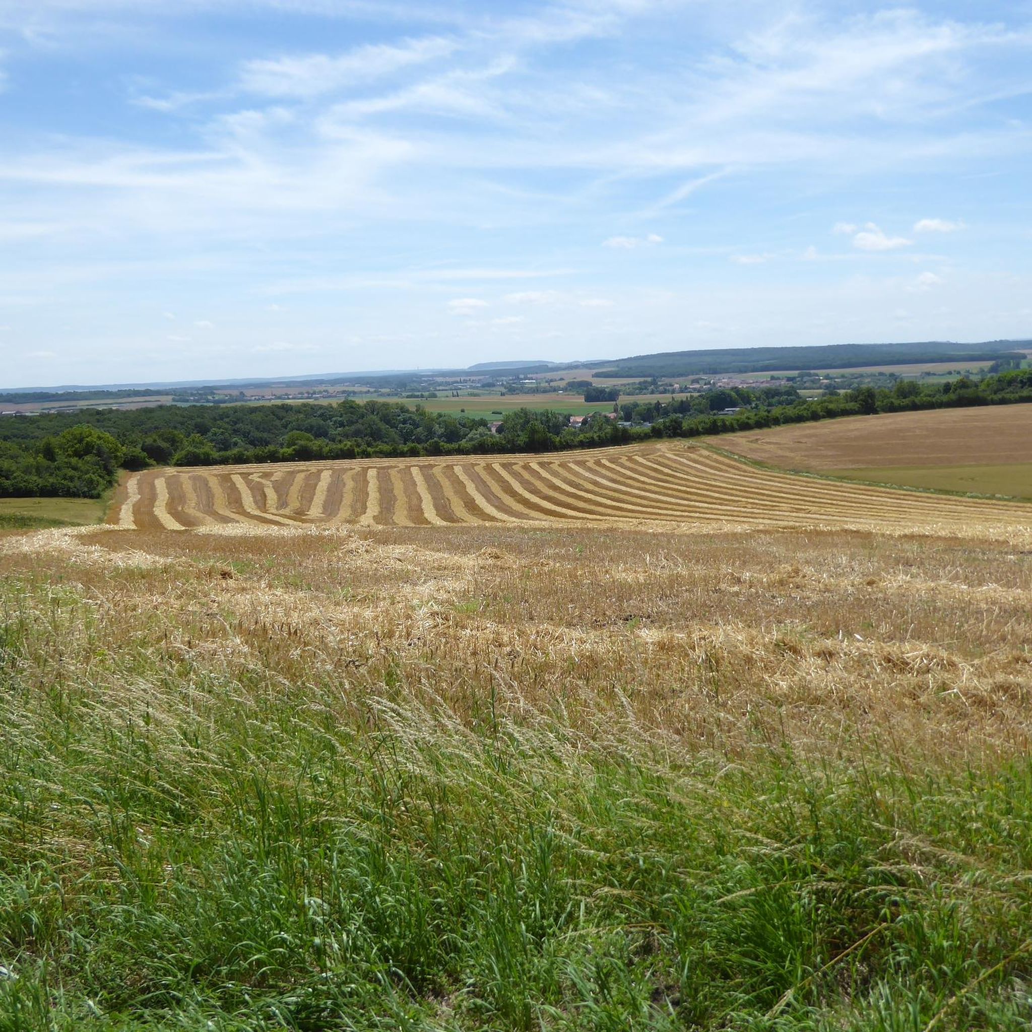
Road cycling routes around Bazoncourt traverse a varied topography, with altitudes ranging from 215m to 337m, providing diverse terrain. The region features open fields, wooded areas, and views of the Lorraine plateau. The Nied river flows through the area, contributing to a preserved natural environment. These physical characteristics create a range of road cycling experiences for different preferences.
Best road cycling routes in Bazoncourt
- The most popular road cycling route is House front painting – Chérisey church loop from Sanry-sur-Nied…
Last updated: July 9, 2026
26
riders
154km
06:47
1,310m
1,310m
Hard road ride. Very good fitness required. Some segments of this route may be unpaved and difficult to ride.
17
riders
45.7km
01:59
420m
420m
Moderate road ride. Good fitness required. Mostly well-paved surfaces and easy to ride.

Sign up for free
7
riders
31.9km
01:27
310m
310m
Moderate road ride. Good fitness required. Mostly well-paved surfaces and easy to ride.
6
riders
24.0km
01:07
260m
260m
Moderate road ride. Great for any fitness level. Some segments of this route may be unpaved and difficult to ride.
6
riders
Moderate road ride. Good fitness required. Mostly well-paved surfaces and easy to ride.
Get access to more routes and recommendations from other explorers.
Sign up for free
Already have an account?
Our route recommendations are based on thousands of hikes, rides, and runs completed by other people on komoot.
Start today with a free account
Your next adventure awaits.
Login or Signup

Tips from the Community


Of the original 17 city gates, only the German Gate in the east remains. Named after the former hospital of the Teutonic Order, which stood nearby, it was built as an entrance to the city on a bridge over the Seuille River. A medieval structure straight out of a picture book.
6
1

Memorial to the fallen of the two world wars 🕊️
0
0
This beautiful rest area is located on the former railway line, at the old train station in Pange.
0
0
Memorial to the fallen of the two world wars and the Indochina War 🕊️.
0
0
Ideal for cooling off on hot days 🥵. But be careful, it is not drinking water‼️
0
0
Memorial to the fallen of the two world wars.
0
0

Impressive and well-preserved gate of the medieval city fortifications on the Seille.
6
0
Frequently Asked Questions
How many road cycling routes are available around Bazoncourt?
There are over 120 road cycling routes around Bazoncourt, catering to various skill levels. You'll find approximately 30 easy routes, over 80 moderate options, and about 10 more challenging trails.
What kind of terrain can I expect on road cycling routes in Bazoncourt?
The region around Bazoncourt offers a varied topography, with altitudes ranging from 215m to 337m. You can expect a mix of open fields, wooded areas, and scenic views of the Lorraine plateau. The Nied river also flows through the area, contributing to a preserved natural environment along some routes.
Are there any family-friendly road cycling routes in Bazoncourt?
Yes, Bazoncourt offers several easy road cycling routes suitable for families. An example is the Denkmal für die Gefallenen 🕊️ loop from Sanry-sur-Nied, which is an easy 30.5 km trail with around 250 meters of elevation gain, making it a good option for a less strenuous ride.
What historical landmarks or points of interest can I see while cycling?
Many routes pass by historical sites and natural viewpoints. For instance, the Pange Castle – Mante Heights loop from Pange offers views of the 18th-century Château de Pange. You can also find routes that lead to Mont Saint-Pierre, which provides panoramic views of the Lorraine plateau.
Is there a connection to the 'Voie Bleue' cycle route near Bazoncourt?
Yes, Bazoncourt is strategically located near a segment of the 'Voie Bleue' cycle route. This national cycling path allows you to cycle along the Moselle River and its canals, passing through picturesque lakes and wetlands on the section from Thionville to Metz. For more information on this route, you can visit France Vélo Tourisme.
What do other cyclists say about road cycling in Bazoncourt?
The road cycling routes around Bazoncourt are highly regarded by the komoot community, with an average rating of 4.25 stars from over 15 reviews. More than 800 road cyclists have explored the varied terrain, often praising the well-paved surfaces and diverse scenery.
Are there any challenging road cycling routes for experienced riders?
While most routes are moderate, there are about 10 routes classified as difficult for those seeking a greater challenge. These routes typically feature more significant elevation gains, such as the Denkmal für die Gefallenen 🕊️ – German Gate loop from Sanry-sur-Nied, which covers over 50 km with around 470 meters of elevation.
Can I find circular road cycling routes around Bazoncourt?
Many of the road cycling routes in Bazoncourt are designed as loops, allowing you to start and finish at the same point. Examples include the House front painting – Chérisey church loop from Sanry-sur-Nied and the Bus Stop Fly Mural – Mont Saint-Pierre loop from Bazoncourt.
What is the best season for road cycling in Bazoncourt?
The diverse scenery around Bazoncourt, with its mix of open, wooded, and forested areas, ensures beautiful views throughout the seasons. Spring and autumn generally offer pleasant temperatures and vibrant landscapes, while summer can be enjoyable, though it's always wise to check local weather conditions.
Are there places to eat or stay near the cycling routes in Bazoncourt?
The wider Moselle region, including the vicinity of Bazoncourt, benefits from the 'Accueil Vélo' label, which ensures cyclists have access to dedicated and high-quality services, including accommodation and places to eat. While specific cafes or restaurants are not detailed for each route, you can expect to find amenities in the local villages and towns.
Is there parking available for cyclists near the routes?
While specific parking locations for each route are not listed, many routes start from villages like Sanry-sur-Nied or Pange, where public parking is generally available. For routes passing by attractions like Château de Pange, parking facilities are typically provided for visitors.
Can I reach Bazoncourt and its cycling routes using public transport with my bike?
The Moselle department, where Bazoncourt is located, is generally well-connected. While specific details on bike transport on local public transport are not provided, it's advisable to check with regional transport operators for their policies regarding bicycles on trains or buses when planning your trip.
Most popular routes around Bazoncourt
Most popular attractions around Bazoncourt

Get inspired with the komoot mobile app


Explore more
Browse the best Road cycling routes in other regions.
